West Virginia Roads - US 52 (N. of Williamson)/US 119
US 52 north of Williamson and US 52/119
Old US 52/119 NB on the west side of Williamson, conveniently also known as West Williamson. The second photo is at Fairview Addition Rd.
Modern US 52/119 SB at the turnoff to West Williamson. My sleuthing tells me this is probably SR 119/6, but the shield appears to have been left blank to this day.
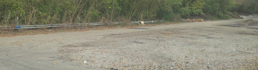
Continuing north onto an old alignment west of Chattaroy, which peters out at an abandoned grade crossing after SR 14 turns onto Buffalo Creek Road to head east.
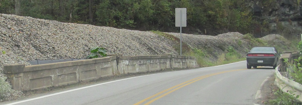
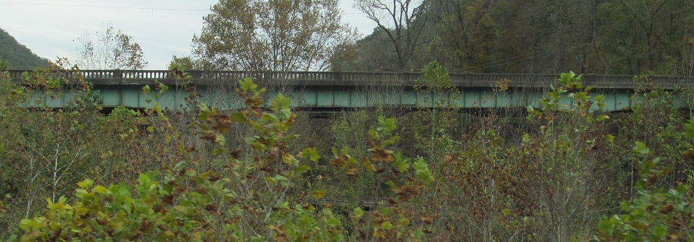
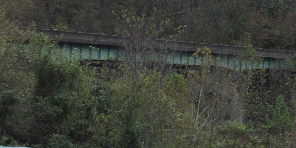
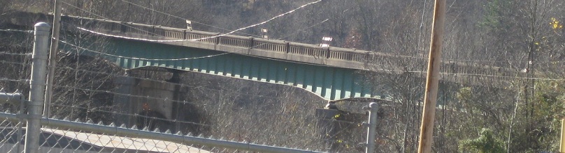
Back south over Buffalo Creek.
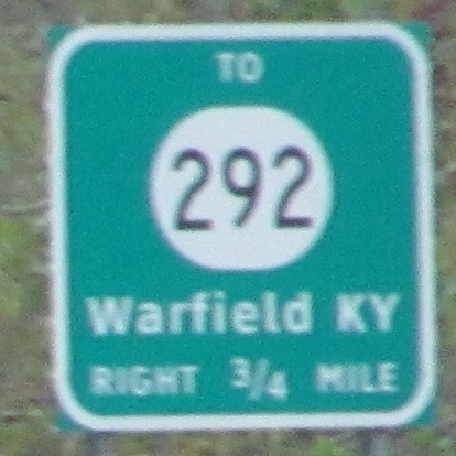
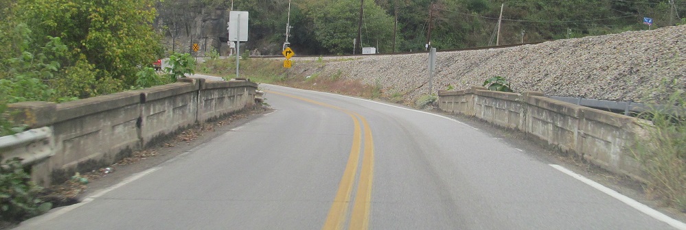
As the winding 2-lane roadway along Tug Fork was upgraded to the modern 4-lane, there were two places north of Williamson where it was easier and cheaper to cross Tug Fork into Kentucky and back rather than blast away the WV hillside. This had the effect of introducing US 52 to Kentucky for the first time. Each of those two crossings has a single connection to KY 292 before returning to WV. This sign is SB after the first connection, presaging the second visit that will last for less than 1,000 feet.
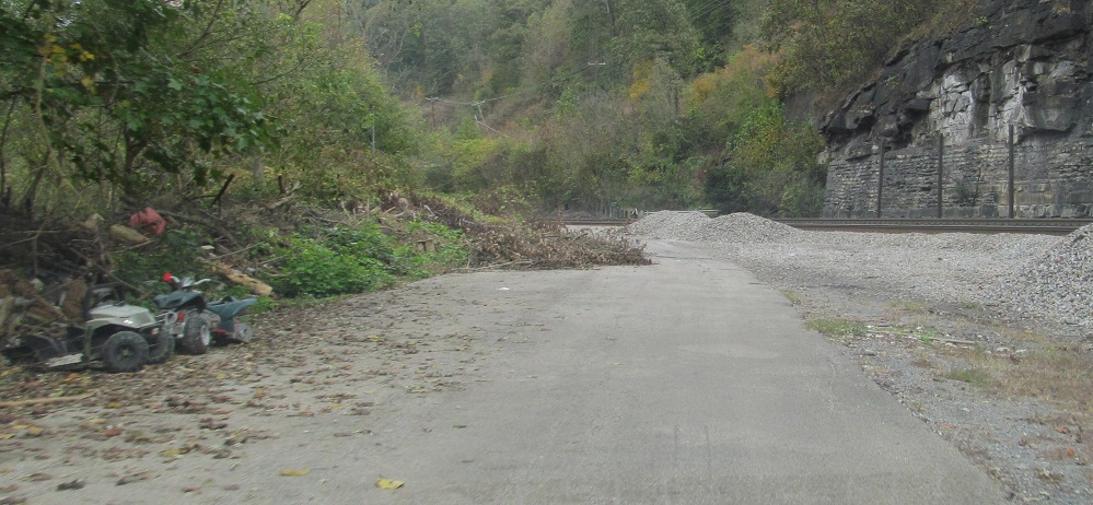
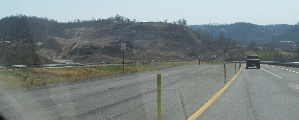
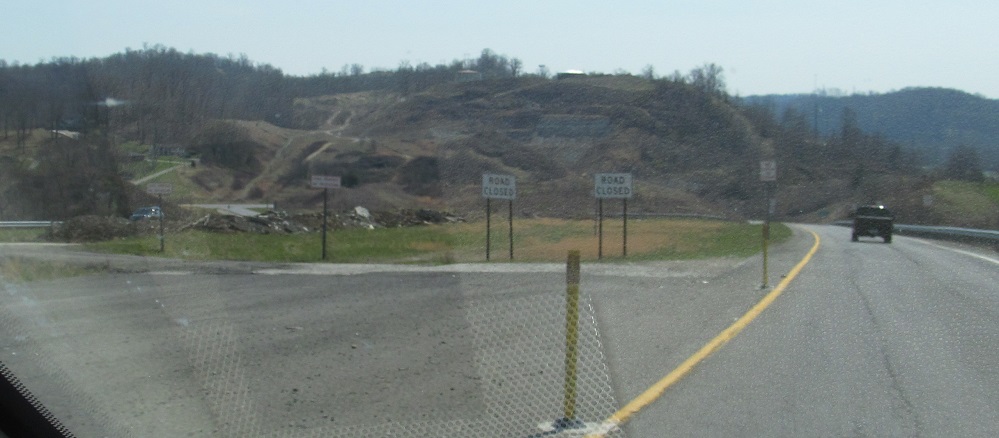
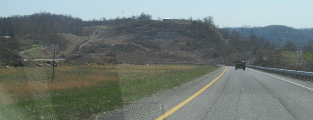
As seen from US 52/119, this is another segment of old alignment crossing the railroad and Miller Creek about 2 miles north of Nolan. The last photo is courtesy Lou Corsaro.
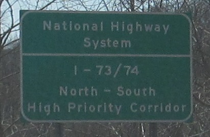
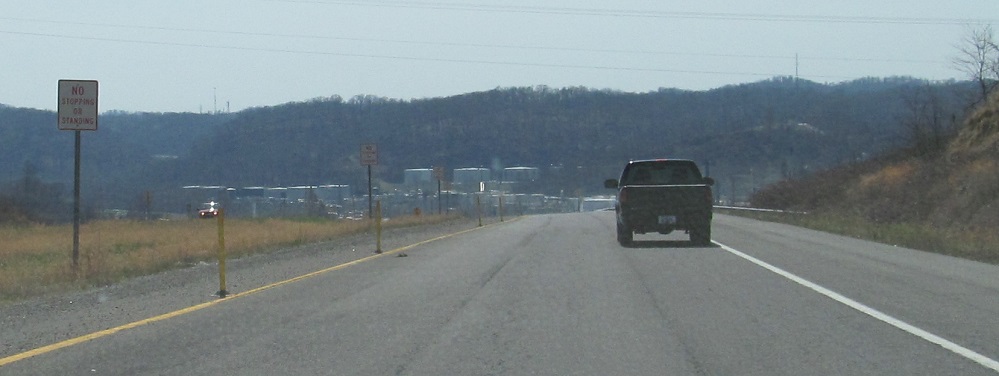
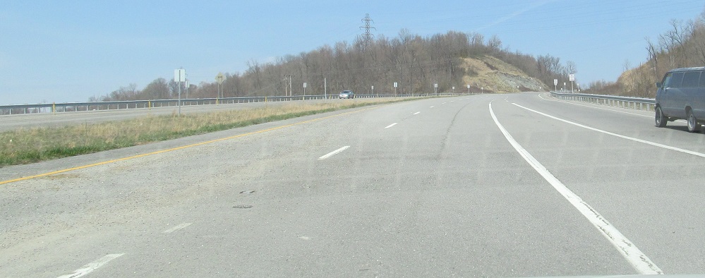
US 52 SB/WV 75 EB. I don't expect anything resembling an Interstate to be built through southwestern WV, but it's a High Priority to someone. Just not them. Even this upgraded stretch of US 52 has at-grade intersections, which WV still calls a "freeway."
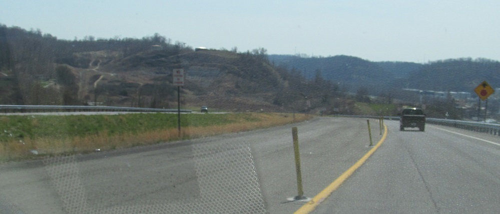
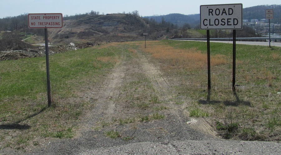
Soon after it begins, Future I-73/I-74 ends at the northern half of a diamond interchange. WV 75 turns left, US 52 turns right back to its old alignment. The southern half of the interchange is dug into the hillside but there are no overpasses or ramps built.

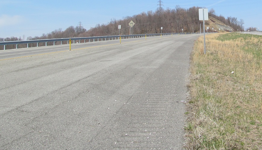
Back up the NB/WB onramp to the "freeway." I like how highway agencies always start striping the stub road before the ramp merges in, as if they're not going to redo all these pavement markings by the time it's extended.
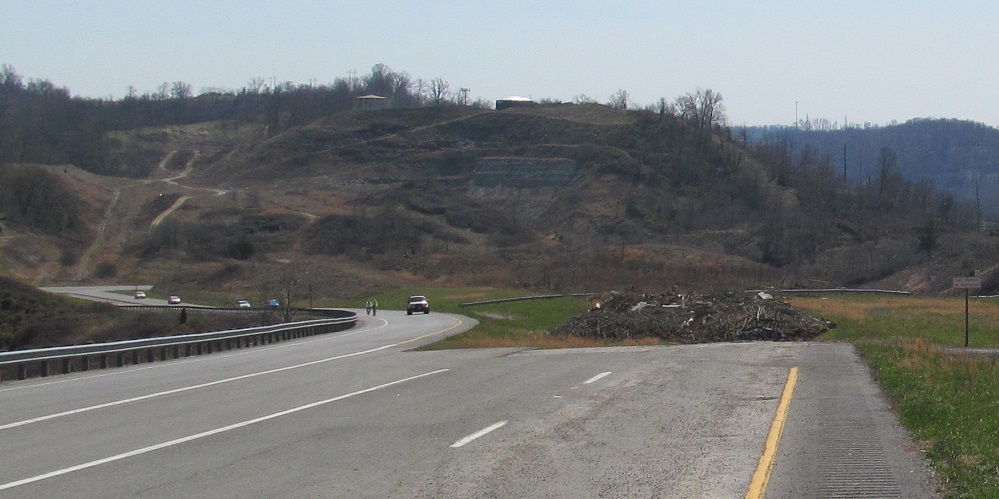
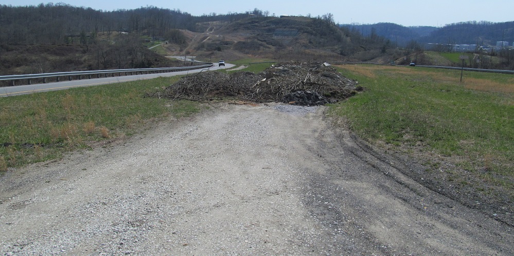
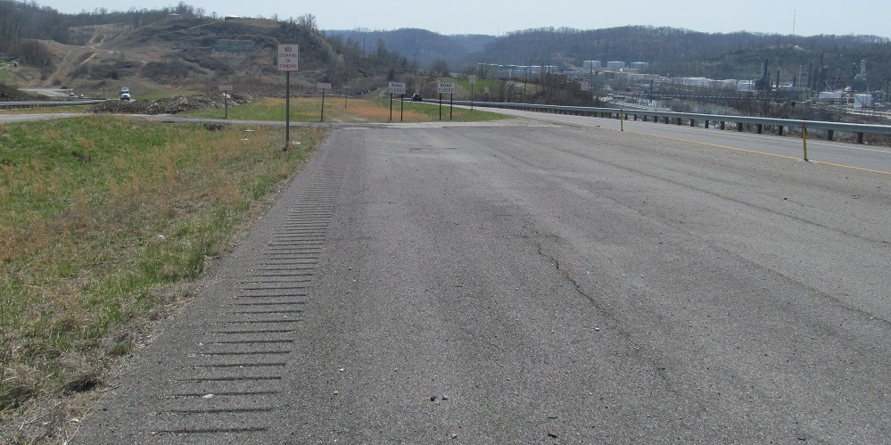
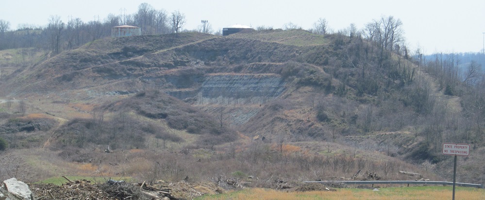
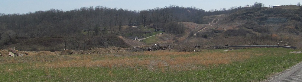
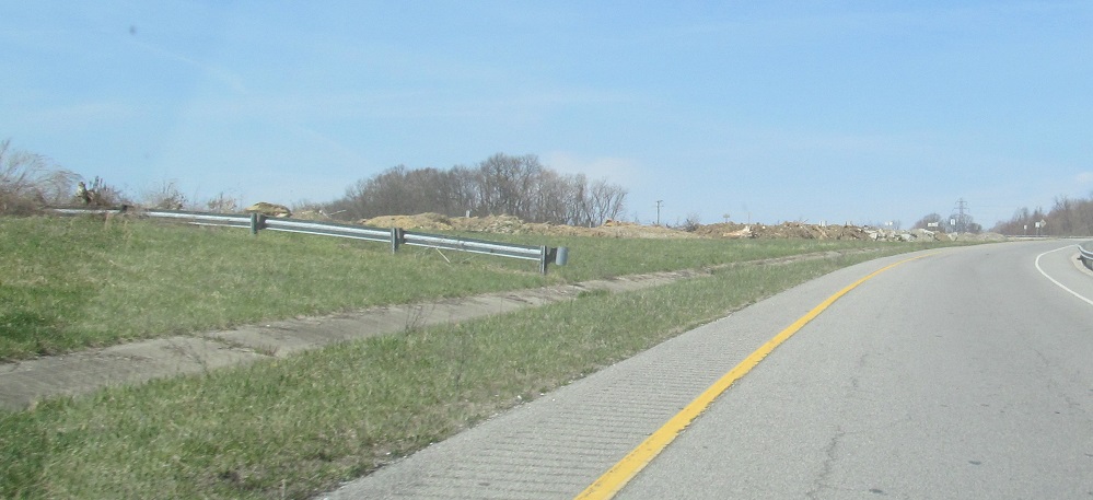
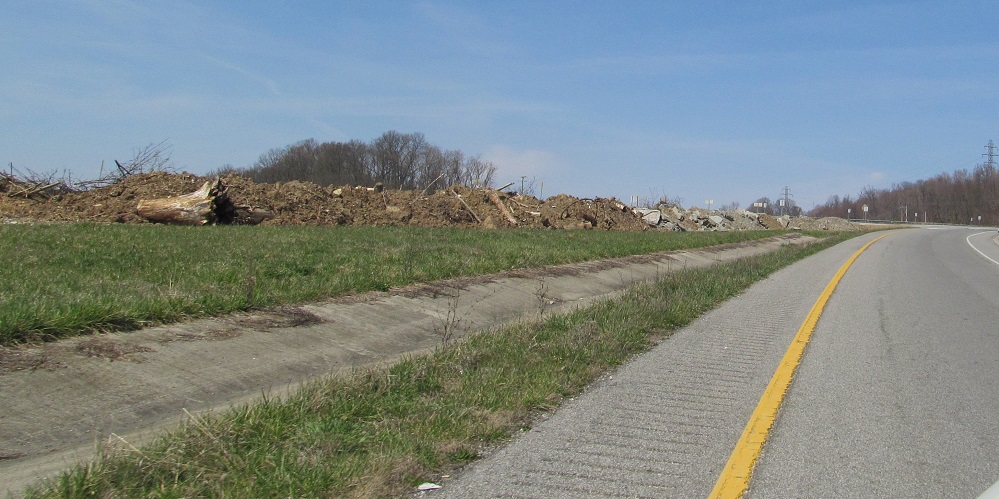
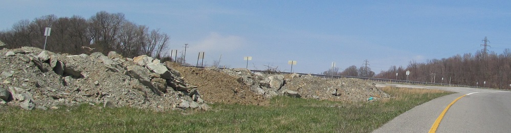
Now on foot, here are various views south of the stub I-73/I-74 roadway. (I'm just calling it this for fun now.) What is all that debris doing there? There's no debris anywhere else in the interchange. Has WVDOH already given up and is just using this as a dumping ground?
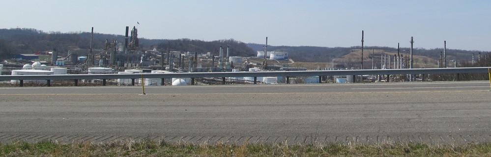
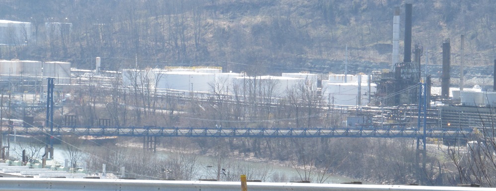
Looking west, toward a pipe bridge that crosses the Big Sandy River to connect a WV chemical plant with a KY refinery. That's interstate commerce! Note the useless rumble strip on the far left of the stub roadway. Again, by the time this highway is extended, they'll have to redo it.
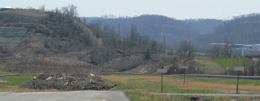
Last photo here, looking north on US 52/I-73 SB and WV 75/I-74 EB.
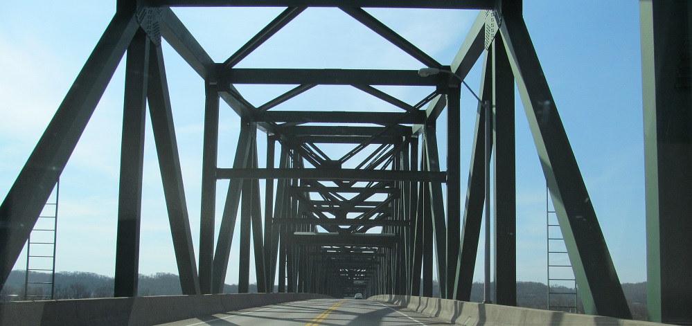
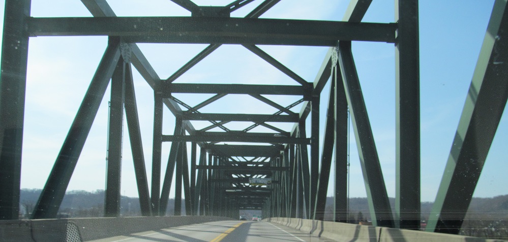
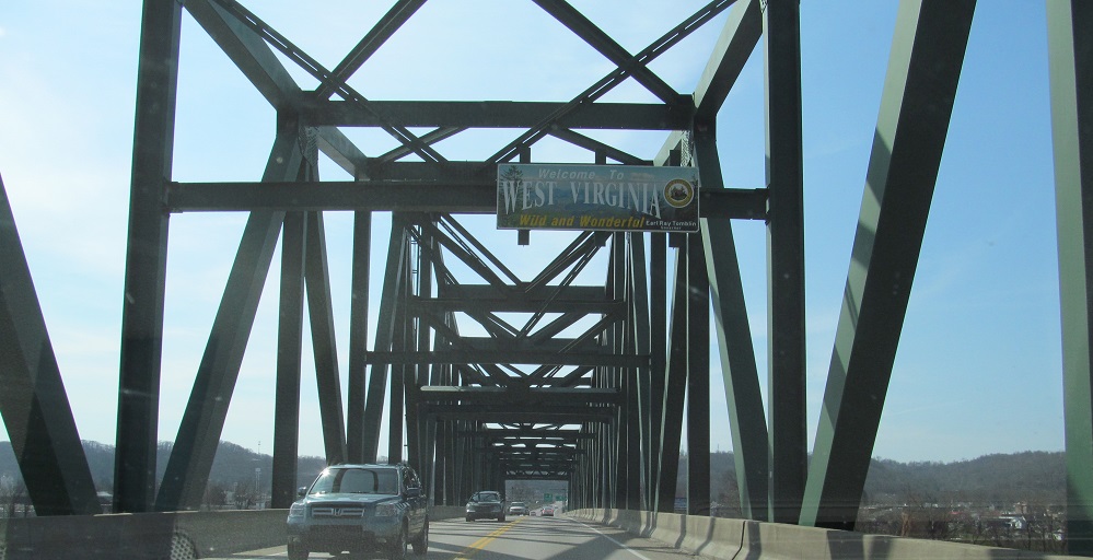
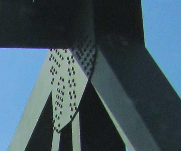
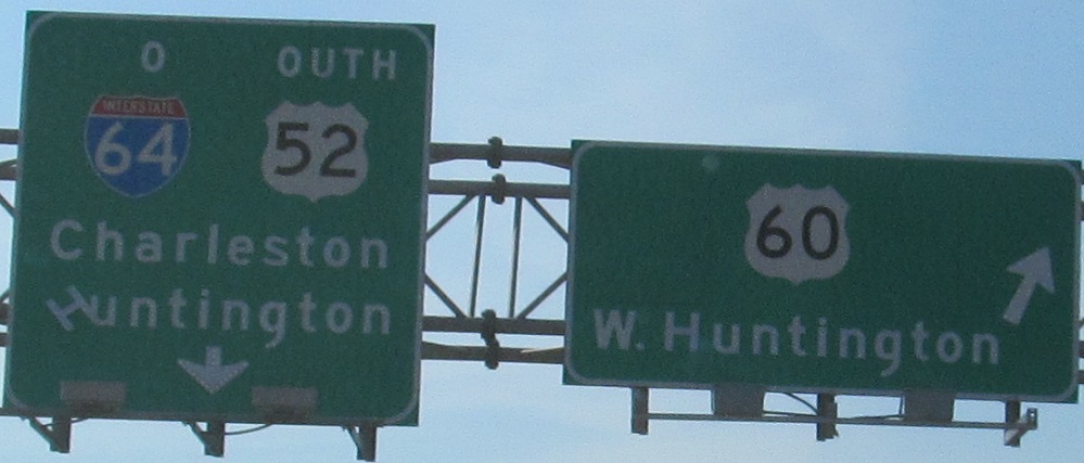
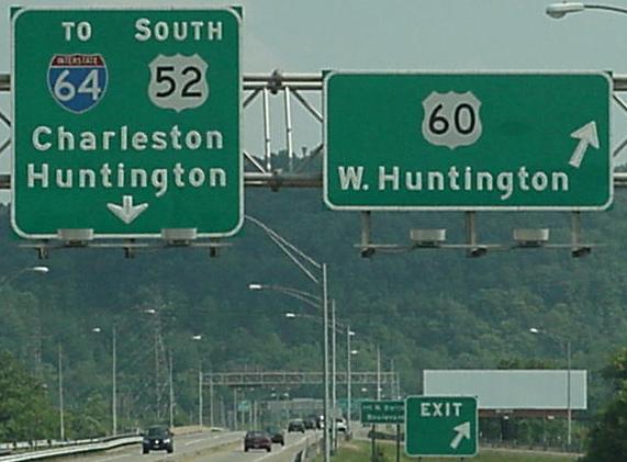
SB entering West Virginia on the West Huntington Bridge, last photo courtesy H.B. Elkins. Click on the penultimate photo to see the signs before they started to fall apart, also courtesy H.B.
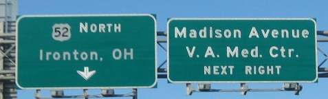
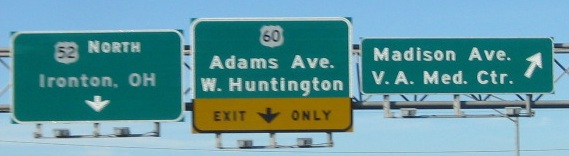
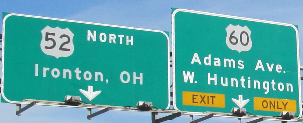
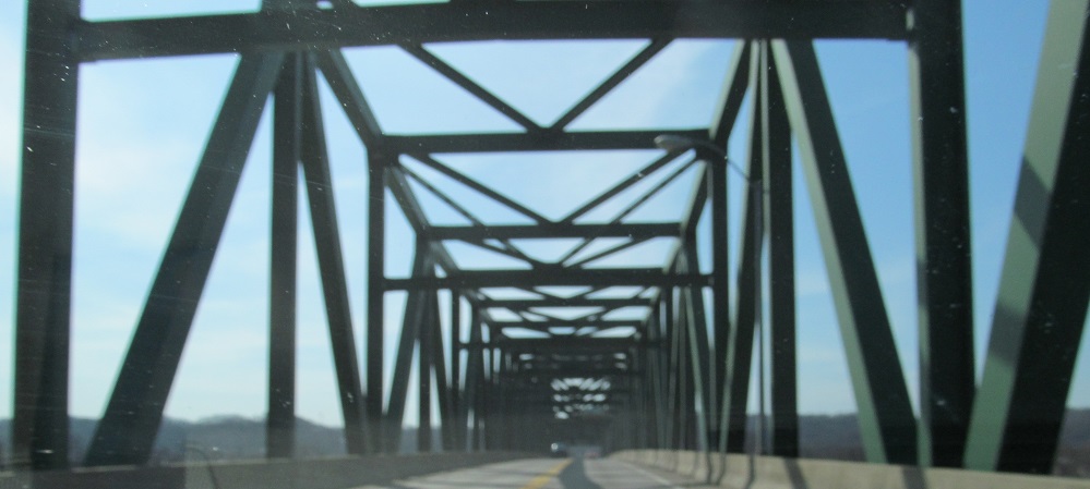
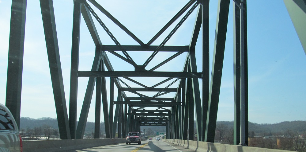
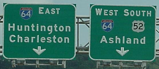
A NB run in the same location, first two photos courtesy Lou Corsaro. US 52 is basically a freeway tying directly into the West Huntington Bridge (in fact, it's called the West Huntington Expressway), but it necks down to two lanes to get across. What was on those signs before? H.B. Elkins tells me it was Chesapeake, OH, which is to the east and not at all on 52. No wonder it was replaced.
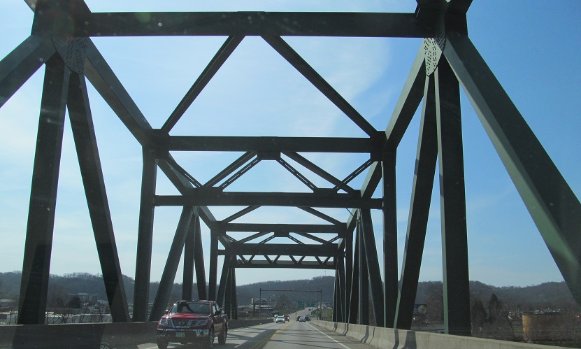
Back south on US 52
Onto US 119 alone
Back to US 52 main page
Into Ohio on US 52
Onto I-64
Onto US 60
Back to the Ashland Road Meet page
Back to West Virginia Roads
Back to Roads