West Virginia Roads - US 40 (E. of Wheeling Isl.)/WV 88
US 40 east of Wheeling Island and US 40/WV 88
To get onto Wheeling Island, US 40 WB joins WV 2 and then leaves on the ramp to I-70 WB, with a "stop" condition forced by the beginning of the Fort Henry Bridge arch.
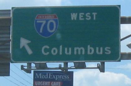
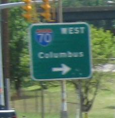
US 40 interacts with I-70 a number of times near Wheeling. Here it goes from Exit 2A (just past WV 88) to Exit 1A (where it joins the freeway into Ohio). There's a perfectly good road still following the path of original US 40, but the original Wheeling Suspension Bridge would not be able to handle it. You'll see more of that by continuing west via the big link at bottom.
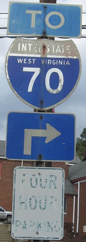
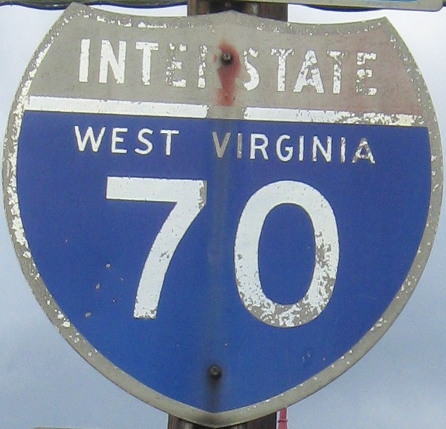
I am saying nothing to give away the location of what may be the oldest Interstate shield in West Virginia. I am saying nothing, but if you click for the closeup and check your address bar, you may be able to figure something out. (Even if you can't, click.)
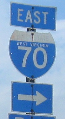
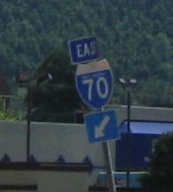
EB from I-70 Exit 2A.
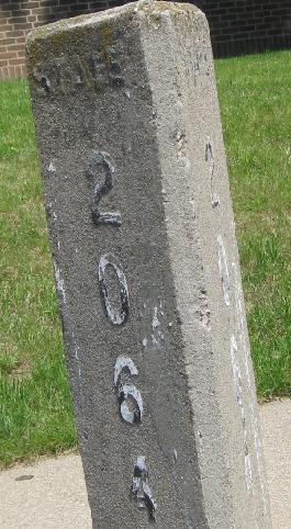
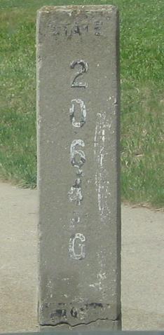
EB and WB at something. It says State 206.4 G. I leave the meaning up to you.
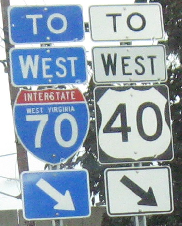
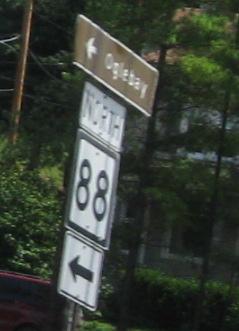
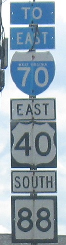
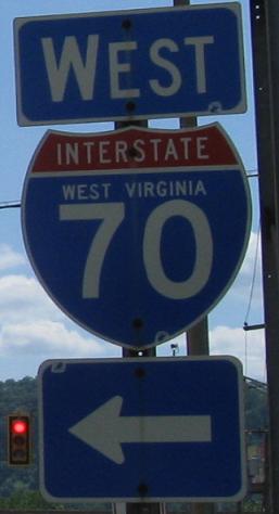
US 40 WB/WV 88 NB.
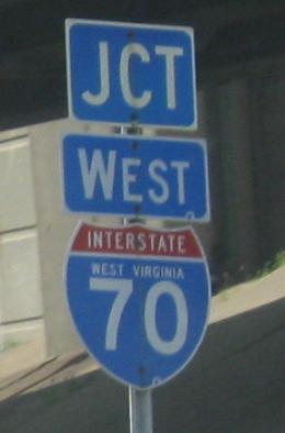
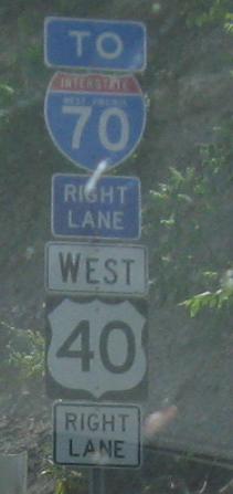
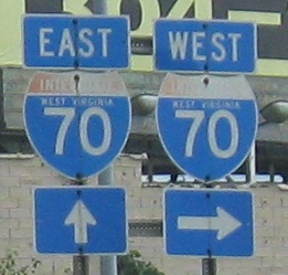
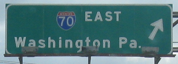
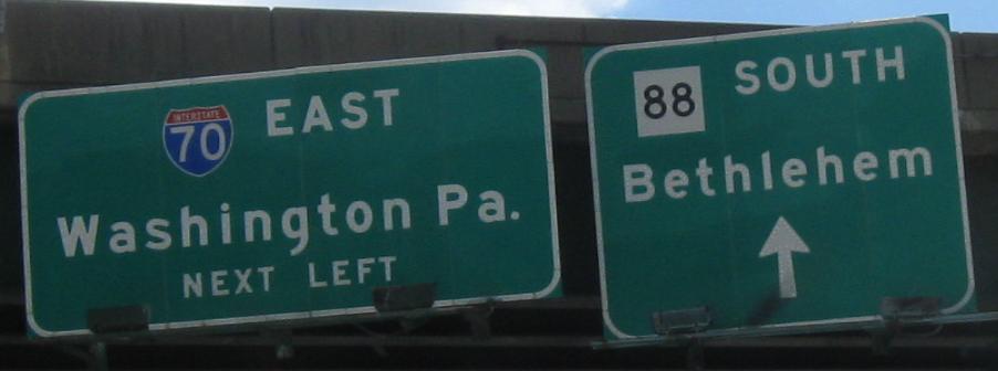
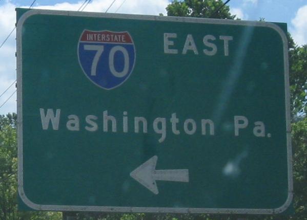
Another I-70 entrance, now up to Exit 4, EB/SB and WB/NB respectively on the same multiplex.
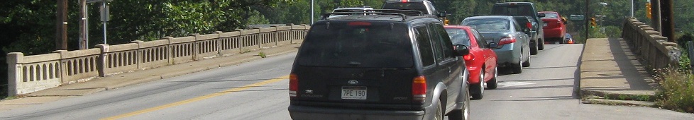
WV 88 SB leaves US 40 EB soon, but first they share an Elm Grove bridge over Wheeling Creek that looks a little interesting.
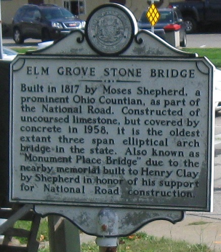
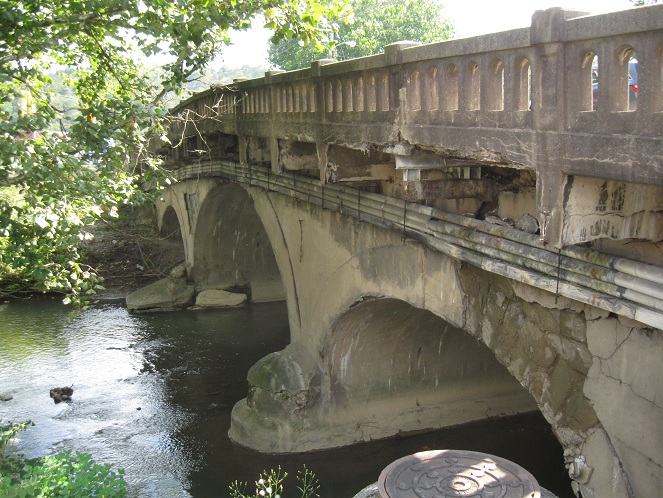
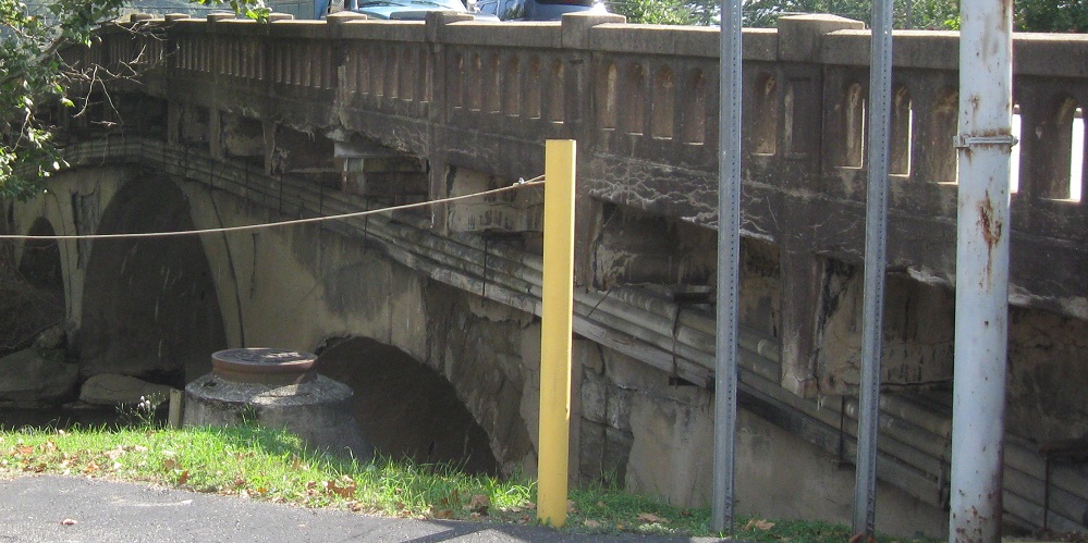
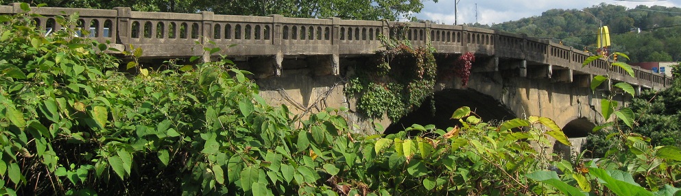
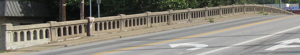
Okay, very interesting. Through cracks and spalling in the surface concrete, you can see the original stonework peek through. Hopefully WVDOH can take a little time to restore the bridge properly to what it used to look like - or as close as can be with sidewalks added.
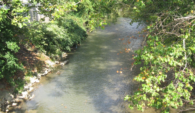
Looking northeast along Wheeling Creek.
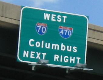
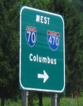
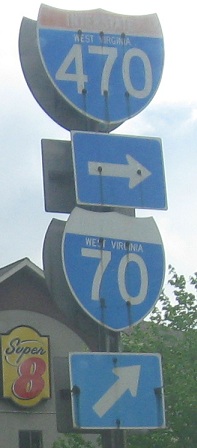
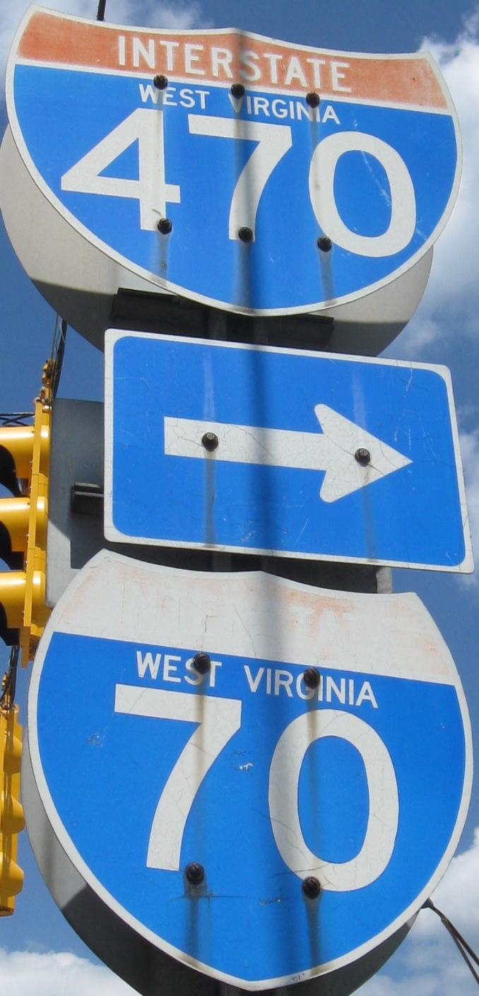
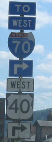
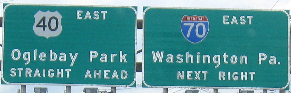
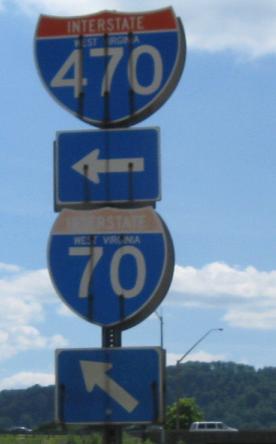
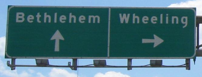
EB at I-70 Exit 5, free of WV 88. Because this ramp needs to be here for I-470 access, the redundant ramp is the one at Exit 4. Click on the penultimate photo for a closeup of the assembly's shields.
WB up to the same interchange.
Finishing up the WB photos at that interchange and up to WV 88.
WB in quick succession, the same sign displayed two different ways. I'm clueless as to how this happened.
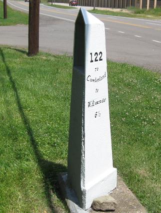
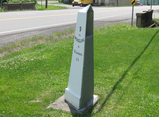
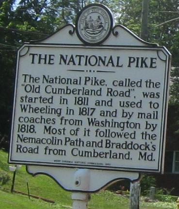
The National Road has precious few original artifacts left, so someone thought it was a good idea to put up fake ones. I disagree. At least use concrete/stone like the originals instead of a false front.
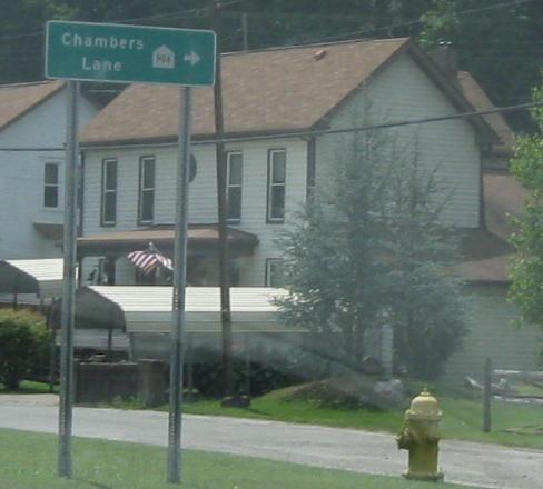
My first two WB photos in the state. Chambers Lane is an old alignment of US 40 and shows off the pentagonal HARP road (Home Access Road Program), essentially a WVDOH-maintained formerly private road that's less than a fractional route. And fractional routes can be pretty miserable sometimes.
Continue west on US 40
Onto WV 88 alone
Back to US 40 main page
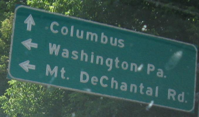
Into Pennsylvania on US 40
Onto I-70
Onto I-470
Back to West Virginia Roads
Back to Roads