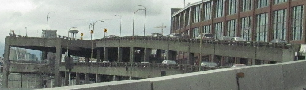
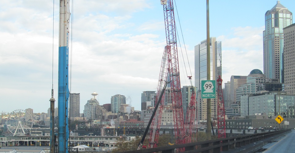
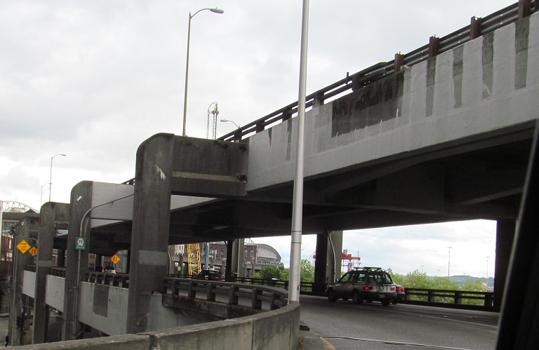
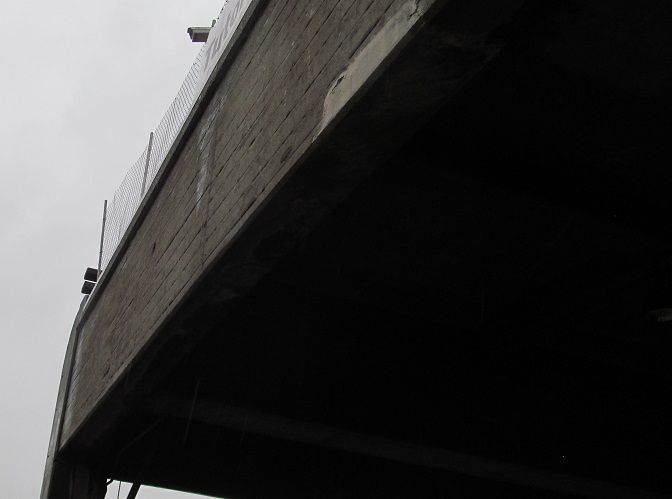
North onto the Alaskan Way viaduct in 2013, opened in stages from 1953 to 1959. The stub of what was removed for the tunnel in 2011 is most evident.
More views of the stub, because stubs are cool.
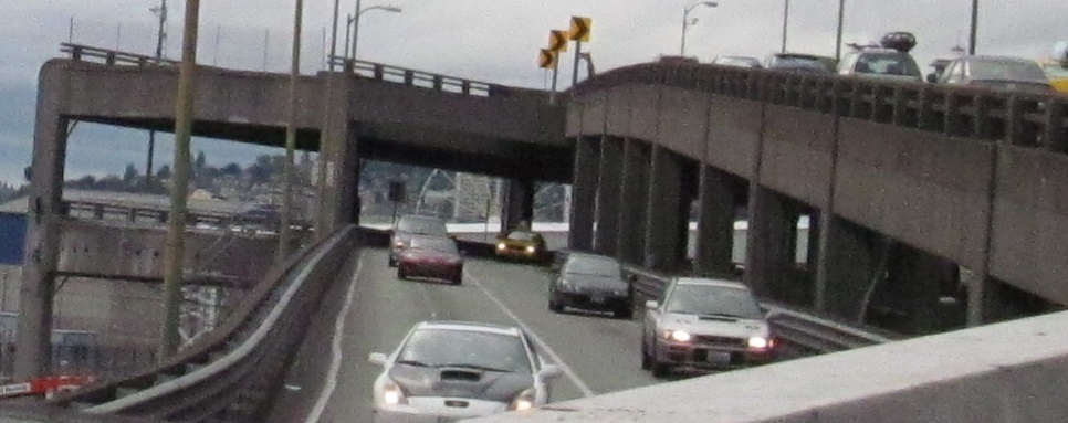
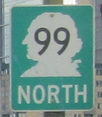
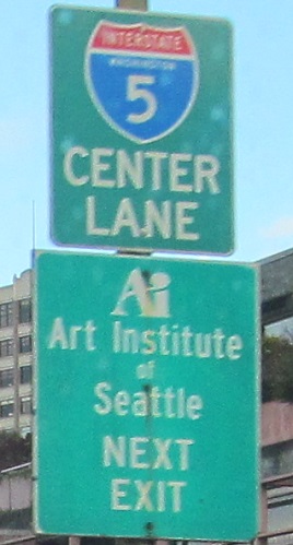
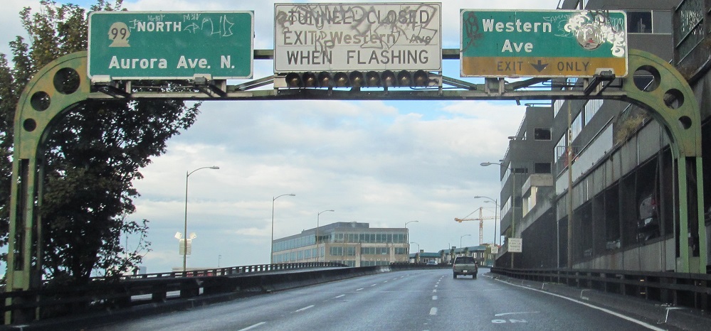
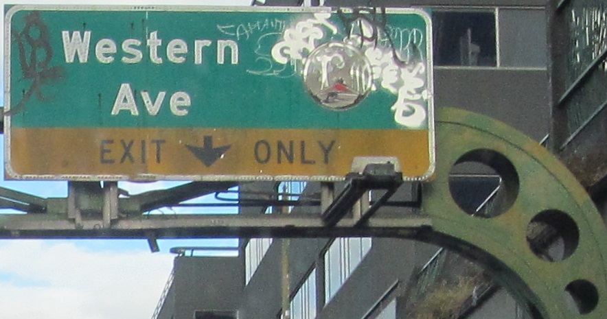
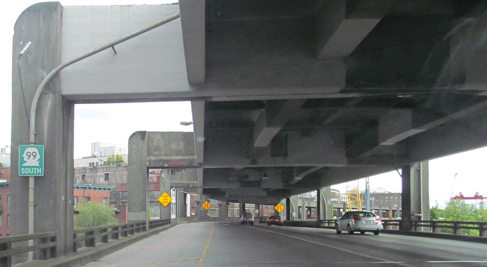
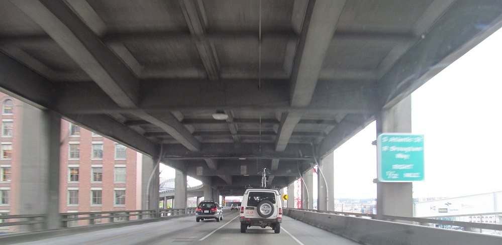
Continuing north in 2014 to delectable button copy with an ancient city seal appearing to feature the Space Needle. Hard to tell under the graffiti. This and the one north of the tunnel (click at bottom to continue north and see that) are the 1950s originals that were destroyed with the old viaduct and tunnel. I-5 is directed to the center lane prior to Western Ave. because of the Exit Only, which is why it's then in the right lane.
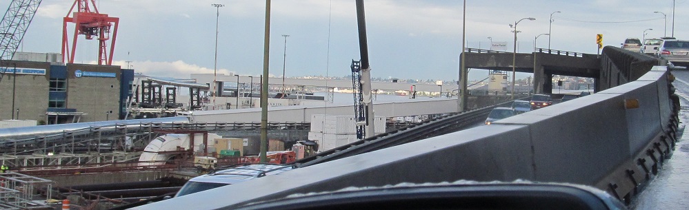
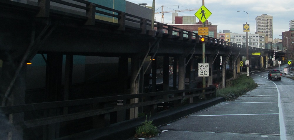
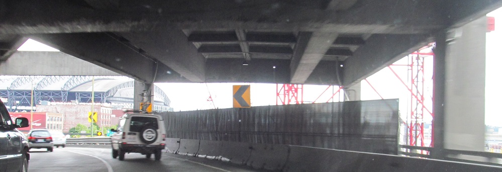
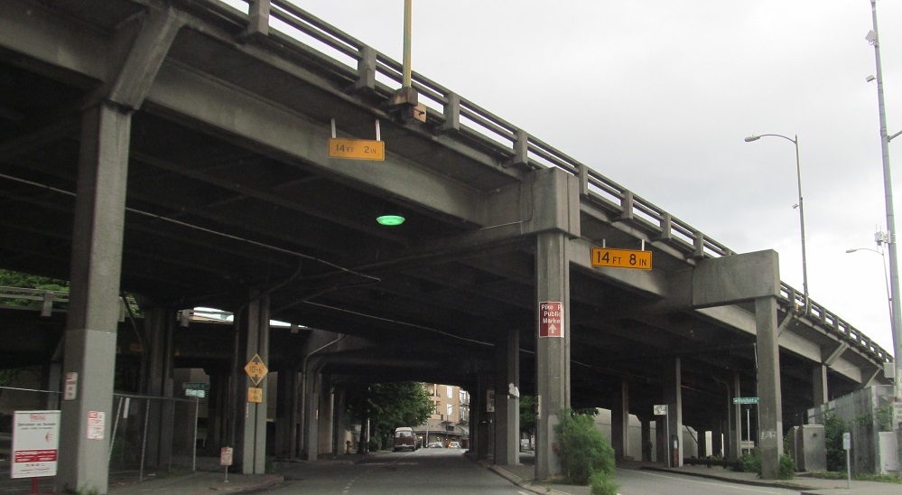
The ramp to Western Ave. passes next to and then under the viaduct. It's not an interesting viaduct, but since it's no longer a viaduct at all, you deserve this photo.
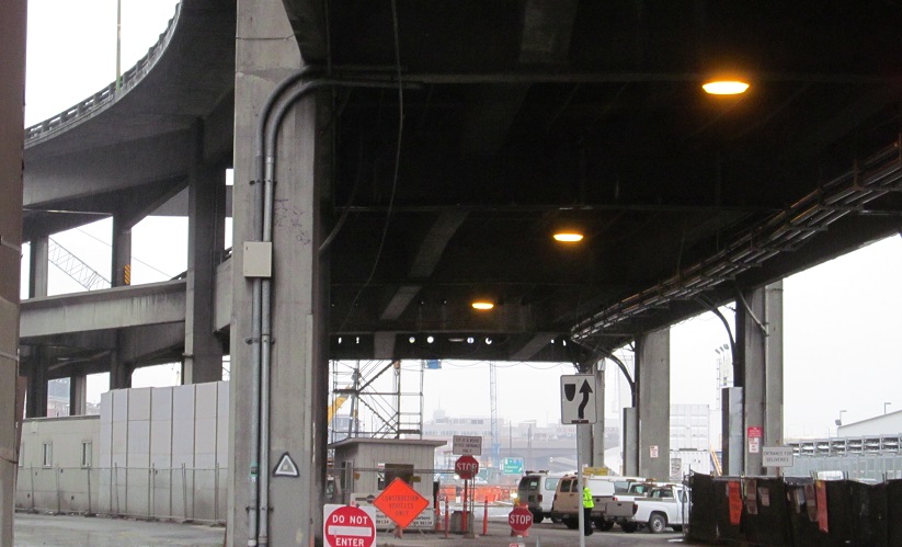
Heading back south as far as I'm allowed to go on the lower level from the Columbia St. entrance ramp.
Click for a video drive south, starting in the Battery Street Tunnel.
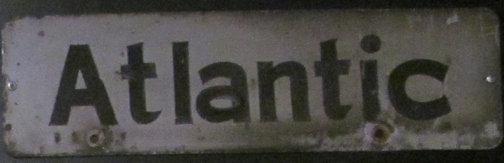
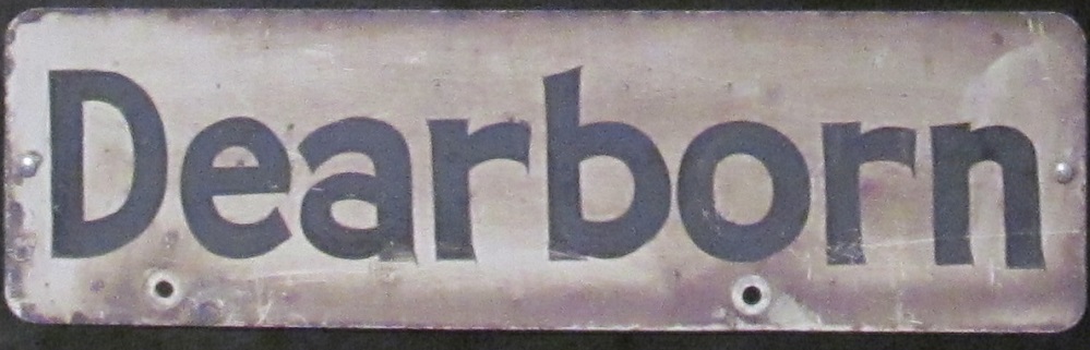
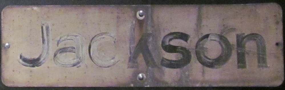
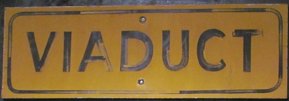
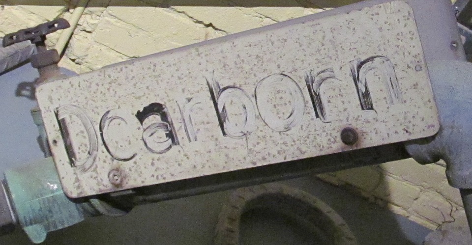
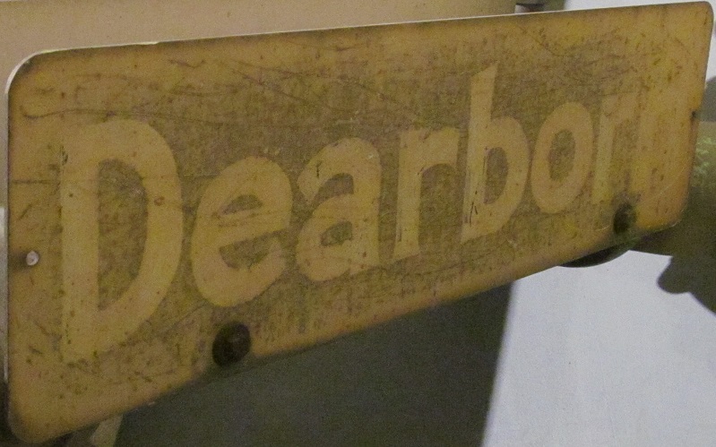
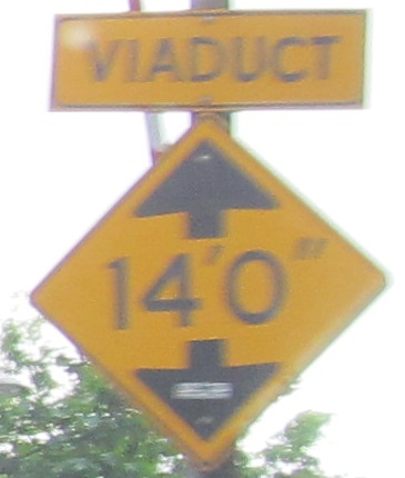
The Milepost Thirty One exhibit that was put up during construction to answer questions and fears about the project included a panel of historical relics. The white blade signs were put up along vertical elements such as light poles to indicate the undercrossing streets, more for maintenance than for wayfinding. I presume the "viaduct" sign was mounted on the side at each cross street to alert motorists to there being something overhead.
The exhibit included an example of signs still attached to each side of a standpipe.
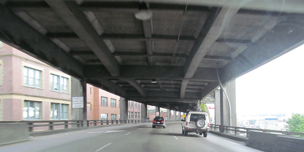
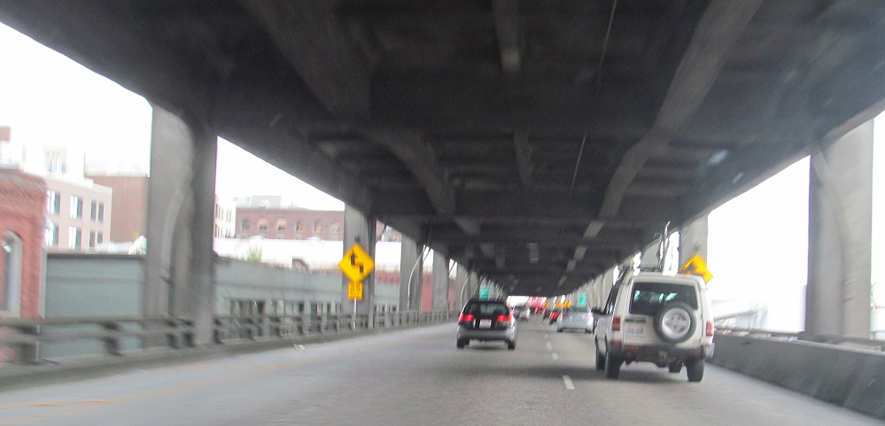
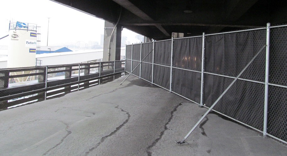
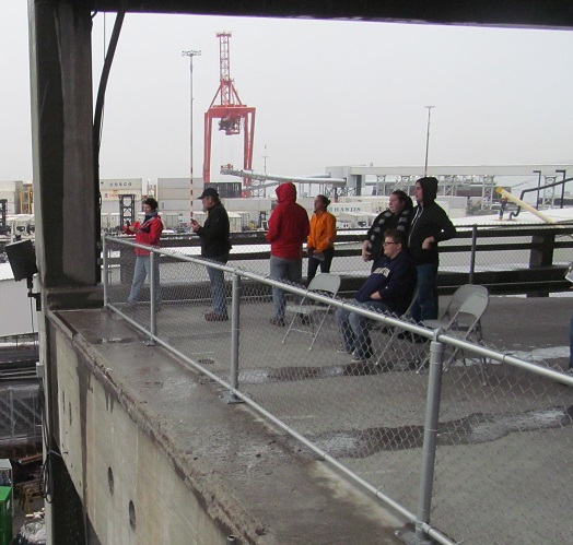
Milepost Thirty One also included free construction tours, which was the highlight of the 2014 Seattle Road Meet. The tour group was taken out under the viaduct, here looking north and south...
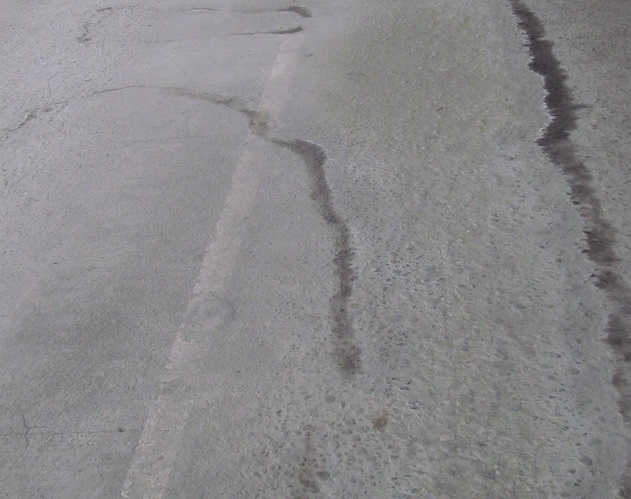
...then out onto the still-striped stub of the southbound lanes, sheltered from rain by viaduct and from traffic by a fence. (And a barrier. It was safe.)
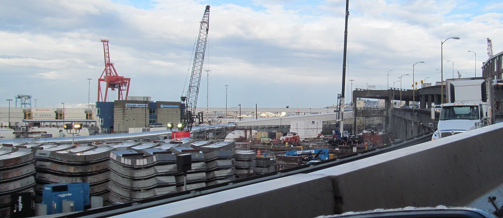
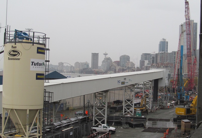
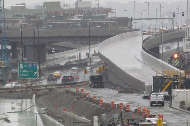
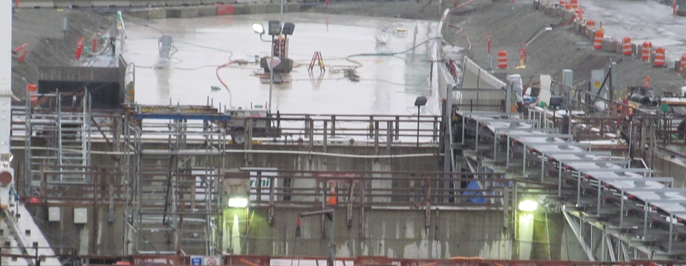
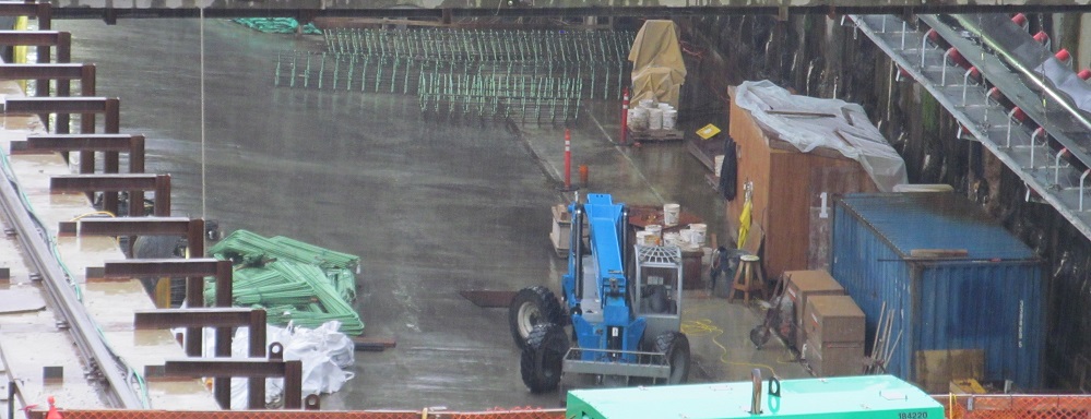
From north to southwest: the extent of Seattle's Big Dig at the time Bertha needed rescuing complete with concrete plant, industry!, the new ramp that will take (surface) Alaskan Way south from 1st Ave. up to the Colorado Ave. crossover.
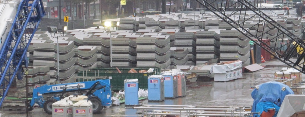
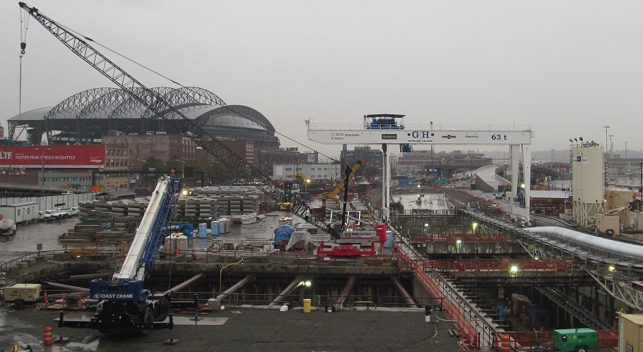
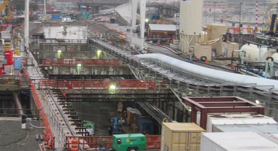
There is a whole lot of tunnel waiting to be brought into the tunnel. While all the wall pieces wait for their chance, you can see some views of the new SB tunnel exit. (NB tunnels under SB in a double-decker bore that explains the size of the TBM.) That whole wing to the east seems like a ventilation building.
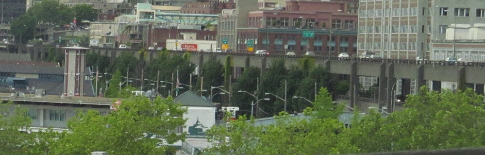
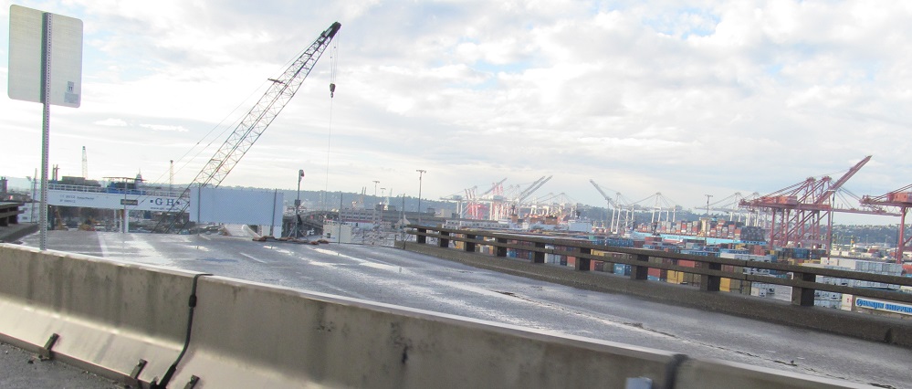
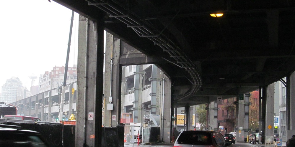
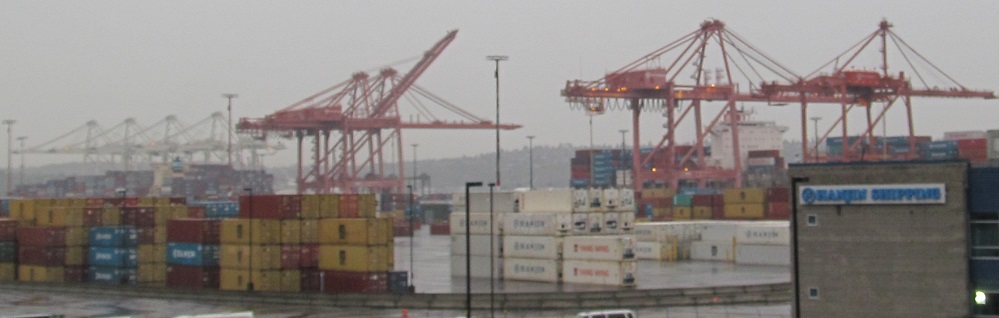
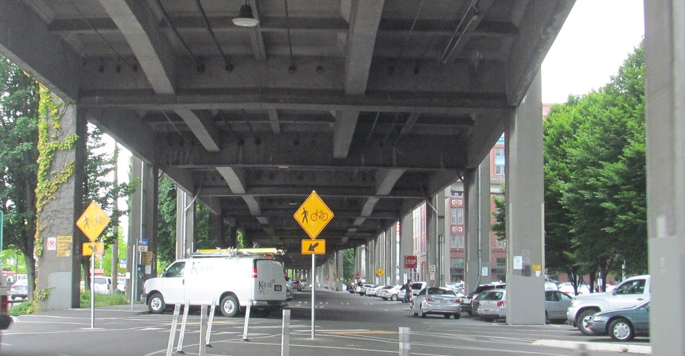
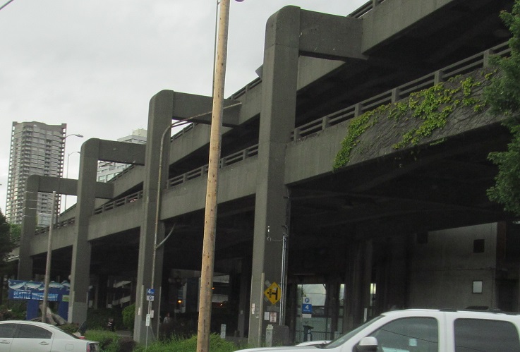
Let's explore the viaduct from the side along the Alaskan Way surface road. The bottom level is a sometimes two-way, sometimes one-way parking area. You can see how this visually divides the waterfront from the rest of the city.
Elliott Ave. heading SE and then Western Ave. heading NW under the viaduct.
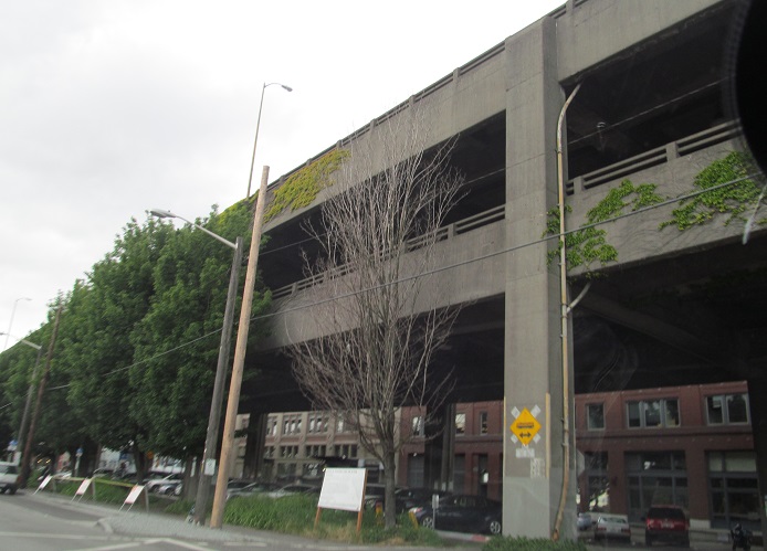
Not sure exactly where this was, but somewhere within a couple of blocks of Jackson St.
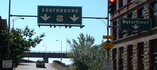
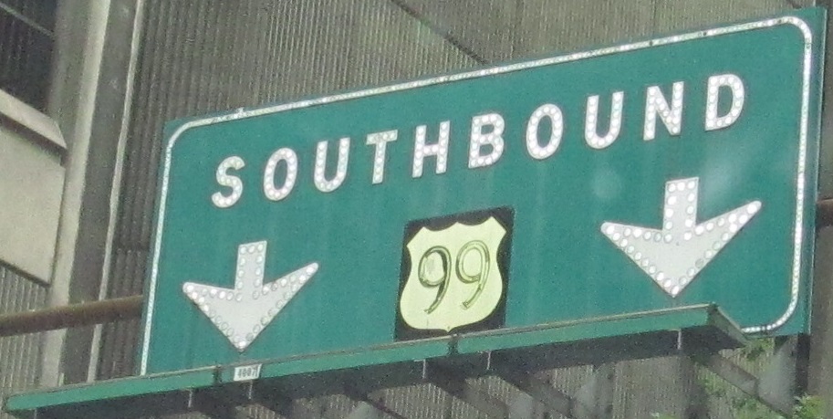
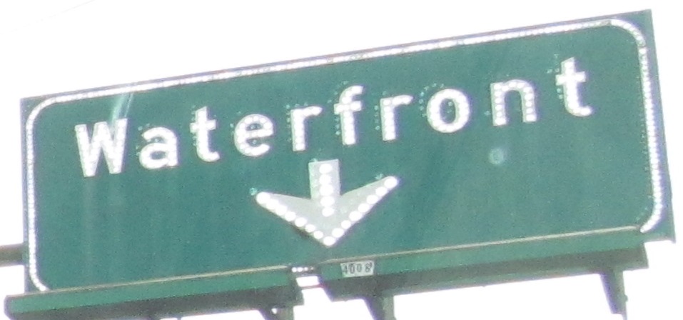
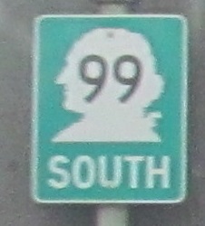
Columbia Street at 1st Ave. and WA 99... no, wait... US 99! What may be the only remnant of its former glory is this downtown Seattle BGS pointing to the Alaskan Way, which survived right up until demolition of the viaduct in 2019. I've heard that, sadly, the signs were scrapped instead of preserved. That makes me angry.
 , former US 99 - Alaskan Way viaduct