VT/NY Roads - VT 279/NY 915G - Construction
VT 279 and NY 915G construction photos
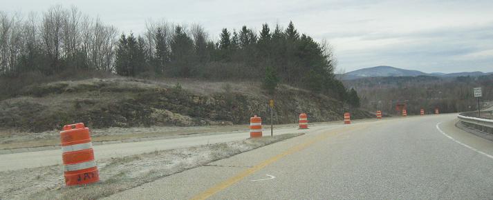
Early 2002
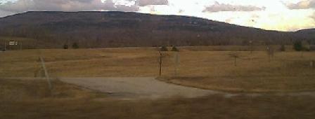
Looking toward the inside of the interchange. There are paved "driveways" to the unfinished ramps from the open ones.
The above two photos are looking from current SB US 7 along future SB US 7.
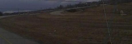
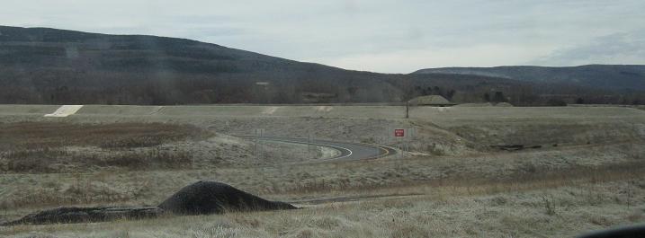
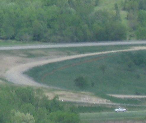
Three views of pavement and grading for the considered NB US 7-SB Business 7 movement. The first two, grading viewed from SB US 7 and pavement viewed from NB US 7 looking backward, will probably be gone when the loop is made smaller to accomodate the welcome center. The third picture is looking back north along SB US 7 south of the interchange at a stub that would be part of the Welcome Center and NB US 7 to SB Business 7 movements.
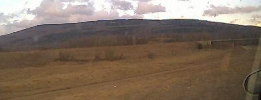
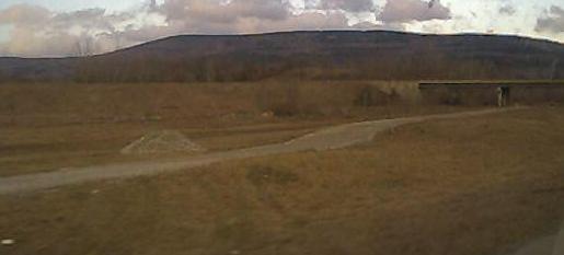
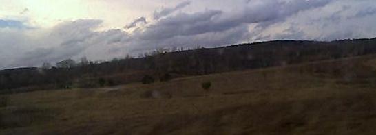
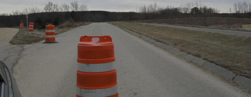
October 2003 (Albany Road Meet)
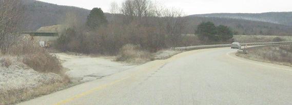
By October 2003, the paved VT 279 roadway extended over half a mile west from the VT 67A interchange toward New York, across a bridge to the top of the adjacent hill to the west.
The original NB Business 7 to SB US 7 ramp - now a loop ramp for SB US 7 traffic to the Welcome Center will force this pavement out of existence.
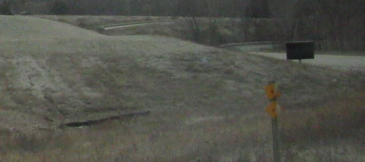
Looking at the pavement for what would have been NB US 7 to SB Business 7. The loop will be made smaller, so this pavement is also going to die.
Two views of the entirety of new VT 279 at that point, heading across the bridge and up the hill.
From the end of the 67A connector (see, 67A is N-S), looking over at the eventual 67A-WB 279 ramp, fully paved except maybe for final course.
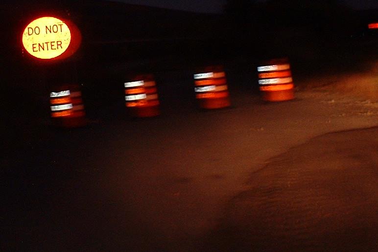
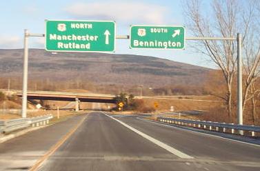
A very much off-spec DNE sign at the eventual US 7 SB freeway split - orange circle on black square. The ramp hasn't changed from the condition shown in the second and third pics taken early 2002.
2004, from Brian Florence
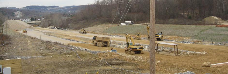
Progress on the NY road leading to VT 279, which is reference route 915G. It doesn't really need a number, because it can be signed "TO" VT 279 and NY 7.
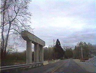
An overpass awaiting construction on 4/28/04, just inside the Vermont border.
2005, from Doug Kerr
The first leg of the Bypass is almost ready to open in these photos.
Huzzah! The completed VT 279 plows through a beautiful rock formation.
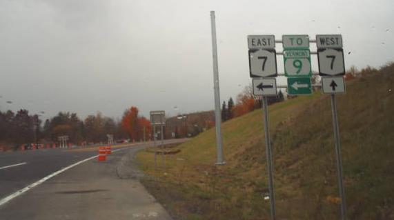
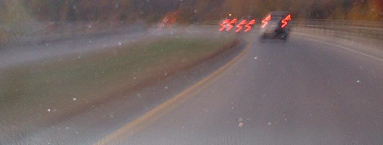
At the western end of NY 915G, the arrows are a little cockamamie, but are all technically correct - there once were straight arrows that had an arrow sticking out the side, but that makes the arrows too small. Notice that NYSDOT managed to get one correct arrow for the whole route - the one in the second photo above and the one at the actual end of NY 915G are clearly wrong, and I don't know where they came from. NY 915G and VT 279 are climbing a mountain for most of the way eastward, so there are generally two EB lanes but just one WB; also note that NY 7 was realigned so that straight-ahead traffic would end up on the Bypass. Now, Vermont needs to improve signage at the eastern end of VT 279, or else an awful lot of NY 7-VT 9 travelers are going to get lost.
In either direction on 915G, you only know which route you're going to, and have to squint at the little green squares to see what route you're actually on. Hey NYSDOT, you borrowed the shield from VTDOT, can't you borrow an arrow too?
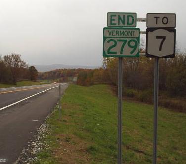
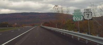
Westbound at the VT/NY border, where it's plain that NY just didn't feel like coming up with a route number for this road. Sure, NY 279 is taken, but it's way over in Orleans County. No one would notice if there were two of them, or if the current one magically became another number.
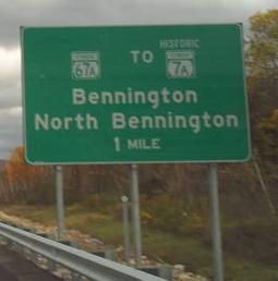
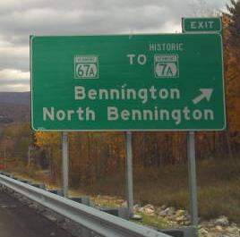
Why exactly is VT 7A historic? I've never figured that out. This is brand-new signage EB on VT 279, perfect except for that extraneous EXIT tab (and the pull-through should give the direction of 279).
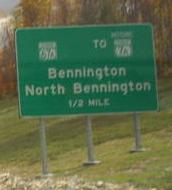
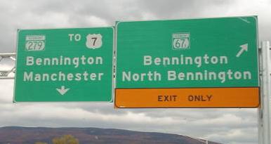
WB in the same place - brand new signage for an exit that people have been forced to take for many years until now.
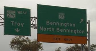
EB on the four-lane divided stretch of VT 279, the part that was VT 67A connector - even after VT 279 was born according to the shield that remained on the US 7 NB ramp (the first photo on this page). The reassurance shield is a little too squishy, and the original button-copy signage has finally been upgraded - see the main page for more photos.
November 2008
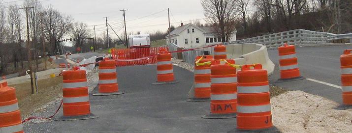
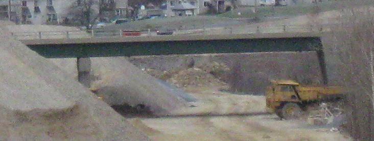
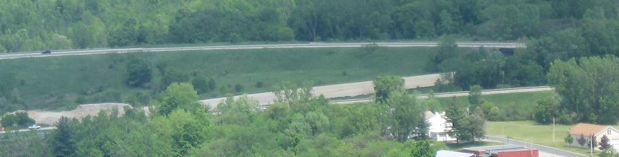
Driving through the US 7/VT 279 interchange on US 7 SB, looking over at the grading that is supposed to become the new Welcome Center, with the ghost loop ramp behind it that was to take US 7 NB traffic from the bypass onto the current route SB into Bennington. Much of that loop is actually already paved, which you can see in the middle of the first and second photos, and it joins current US 7 NB (future Business route or nothing at all) on its bridge across the future bypass.
US 7 SB exiting onto the C-D road of the ghost interchange, with the ghost of future US 7 SB continuing inside the C-D road.
US 7 leaves the C-D road, which ghosts off toward the future SB lanes and the currently unused underpass, over which flies the future NB loop to Bennington alongside current US 7 NB.
Merging with that future NB loop, which will also take traffic into Bennington from the Welcome Center.
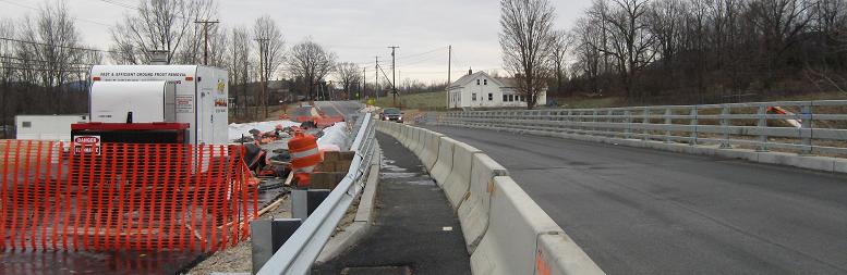
As I said, that loop is paved for a good distance back across the overpass. This is looking NB from the SB side of the highway; the NB side is in use as US 7, and has a provision on the right for the future ramp from Bennington to US 7 SB.
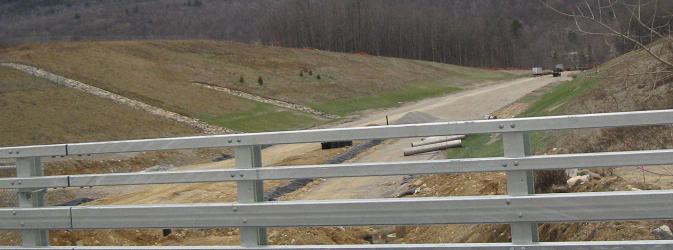
East St. NB over VT 279 east of the US 7 interchange. This leg of the bypass will be US 7 once it finishes bypassing Bennington. The East St. bridge will have two lanes and a bike path/sidewalk on the SB side, but for now that separate structure is still under construction. Why is it separate?
Looking west from the overpass at the future freeway out to the current US 7 NB overpass of nothing (with a loop ramp from nothing to Bennington on the other side) that will become the US 7 NB overpass of VT 279, with a loop ramp from 279 WB to Bennington. Beyond that, VT 279 climbs the hill from the far side of the interchange. The green signs are for VT 67A.
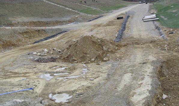
Now looking east, where the freeway narrows from four divided lanes to two undivided lanes and then begins to cross a creek. I presume there will be room left to widen the freeway to four divided lanes in the future if needed.
May 2009
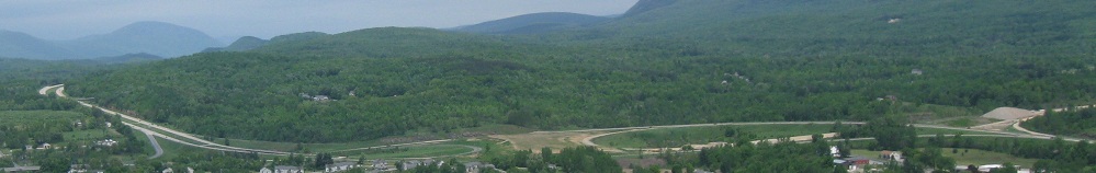
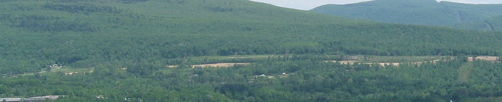
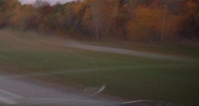
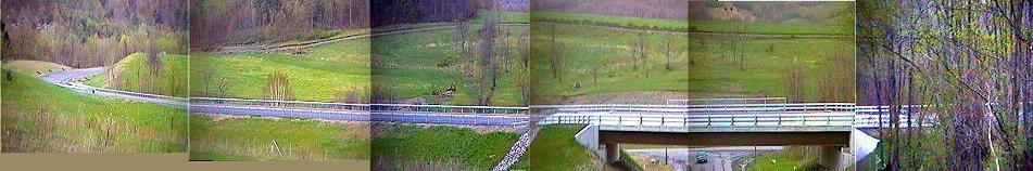
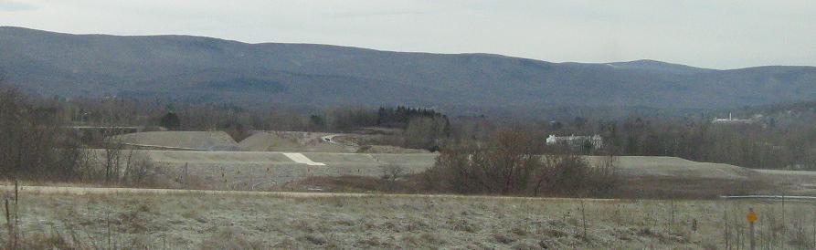
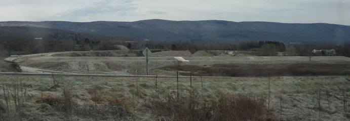
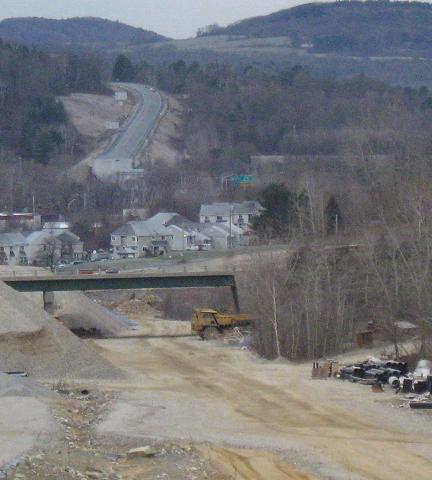
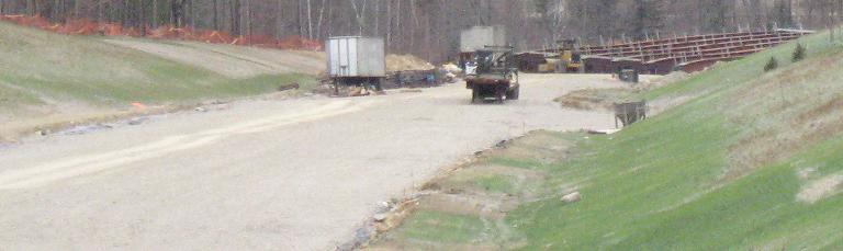
Long-shot views of the slowly progressing work to extend the highway to the east taken from the top of Bennington Battle Monument.
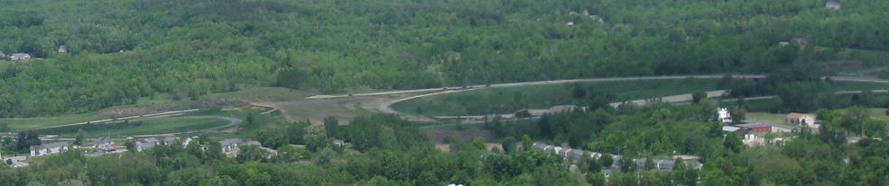
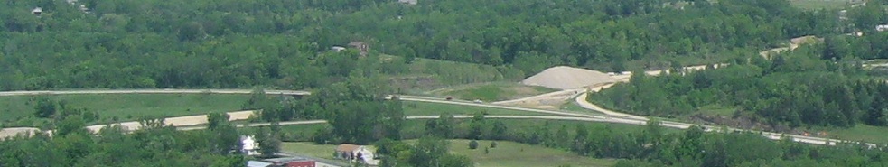
Closer in on the double-trumpet interchange and the work within the infield area between the two loops.
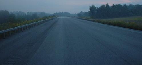
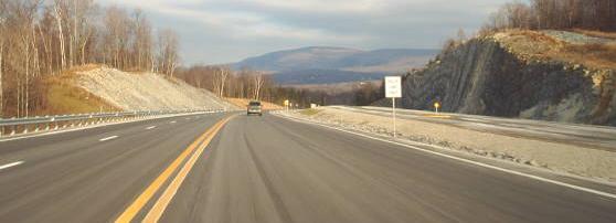
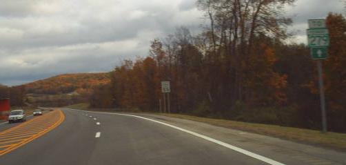
August 2012
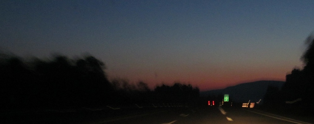
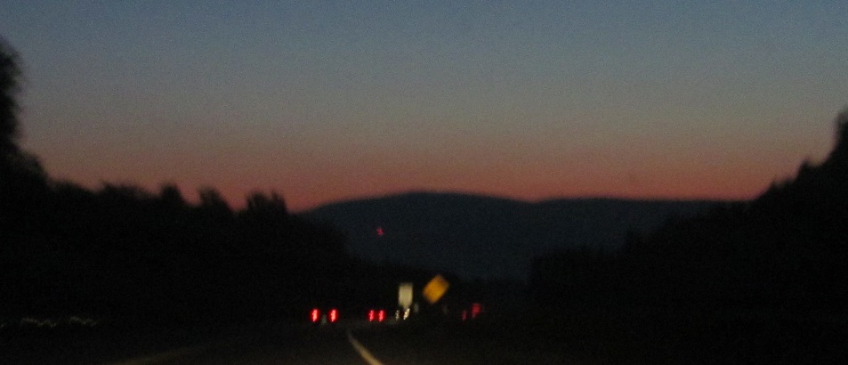
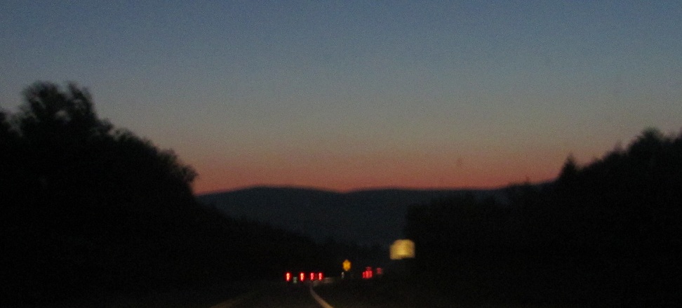
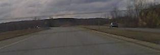
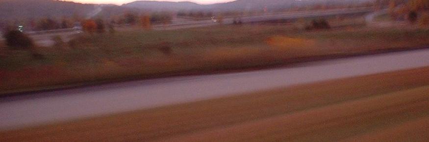
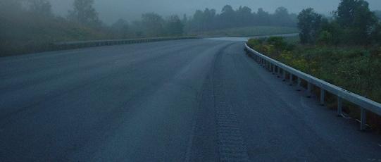
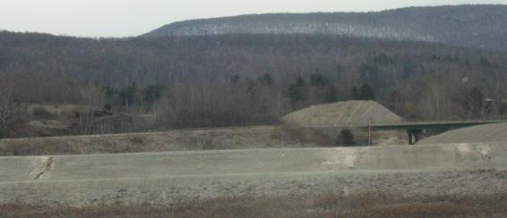
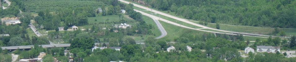
Same view as 2011 but pre-dawn, eastbound from the state line weigh station toward Bald Mountain.
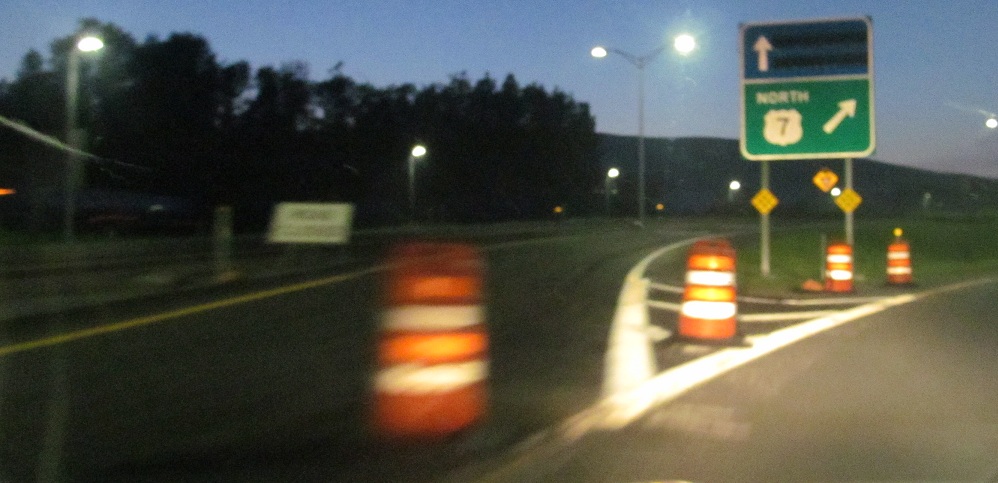
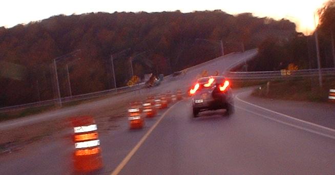
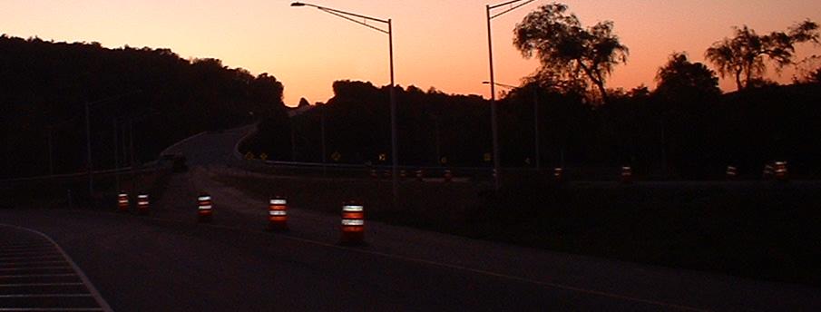
There's now a gore sign for the visitor center at the EB loop ramp to US 7 NB. Except for the lack of a parking lot or building, it's all set to go.
2011 Bennington Road Meet photos of VT 279
Back to VT 279 main page
Onto NY 7
Onto VT 67A
To VT 7A
Onto US 7
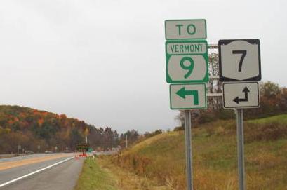
To VT 9
Into Bennington
Back to the Albany Meet page
Back to Vermont Roads
Back to New York Roads
Back to Roads