Vermont Roads - US 5 - St. Johnsbury & N./VT 105
US 5 (St. Johnsbury and north), US 5/VT 105
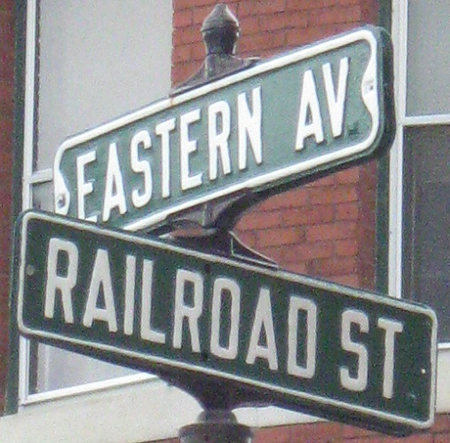
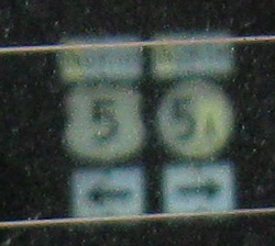
NB and SB mini-shields in St. Johnsbury.
Still within city limits, NB and SB again. It's hard to marvel at an original-spec I-91 shield when I already have several on this page.
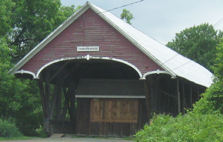
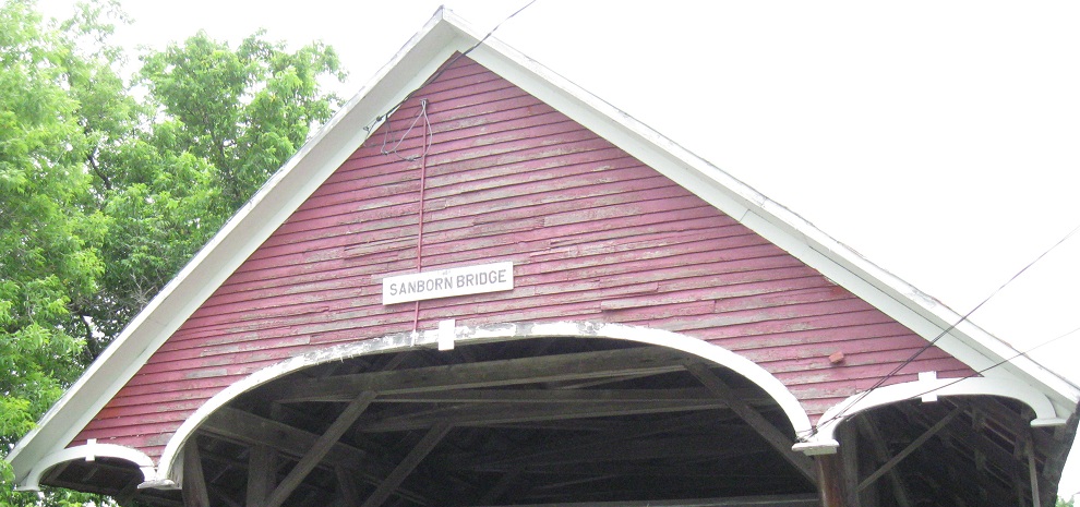
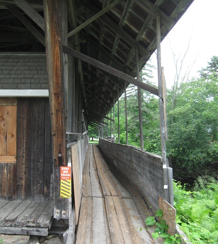
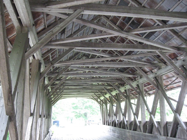
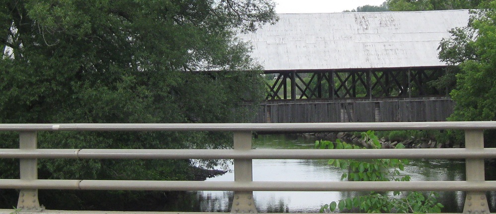
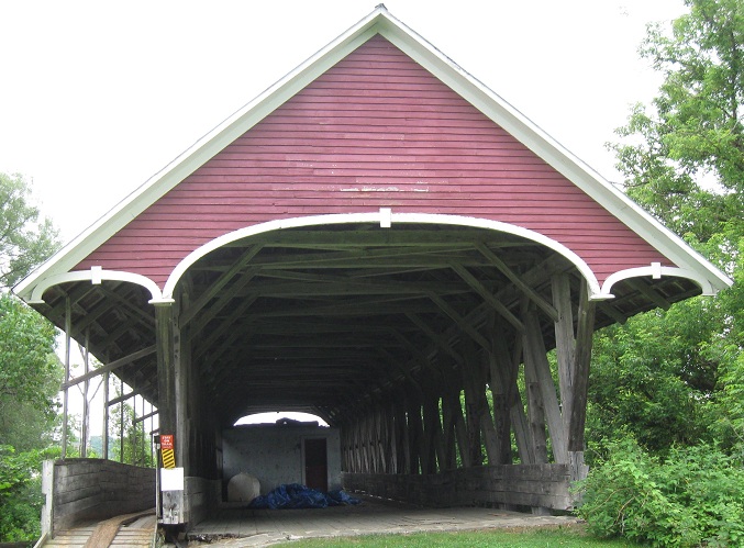
Northbound across the former US 5 Sanborn Bridge leaving Lyndonville, built in 1867. It came out to what is now VT 122, Stevens Loop (122 used to head downtown on Center St.), and probably once continued beyond where it now ends in the last photo.
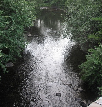
Looking west as I cross the Passumpsic River on current US 5, then one view southward.
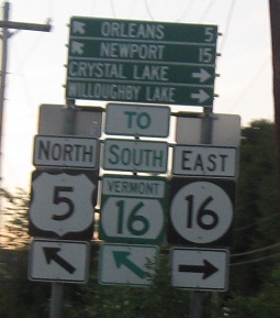
Both NB, if you can't tell in the first photo. VT 16 is clearly town-maintained east of US 5, hence the circle shield in a new-looking assembly. But why does it turn east when the rest of the route is north-south? Why are "TO" banners used as if there are two different 16s?
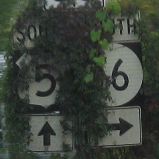
Signs predating the current green shields SB at the other end of what may be a concurrency.
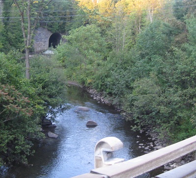
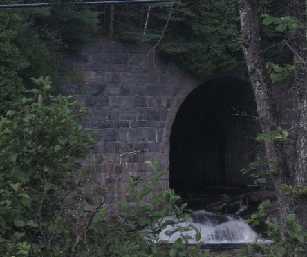
Looking south and north along the Barton River from the US 5 crossing by Kinsey Rd. The tunnel to the north passes under a railroad embankment and beckons to cavey adventures. (I tried Latin and Greek, and can't find a better word than cavey.)
Heading south from VT 14 (see big link at bottom).
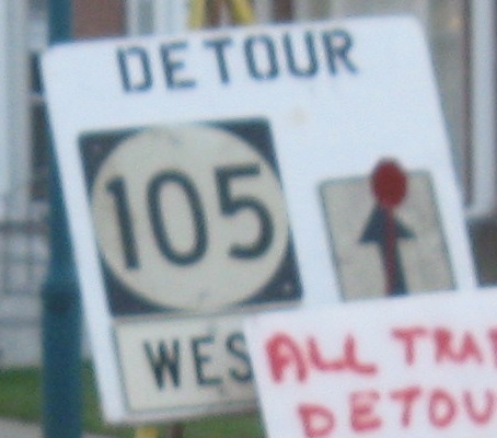

Homemade detour signs (thankfully from old and legitimate shields) in Newport. VT 105 keeps going left with US 5 instead of the detour ahead, coming to the wooden distance signs in the last photo.
In Newport, the only Vermont BGS's I've seen with square shields.
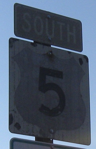
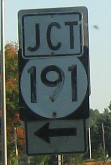
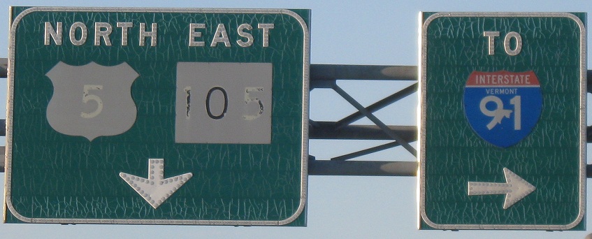
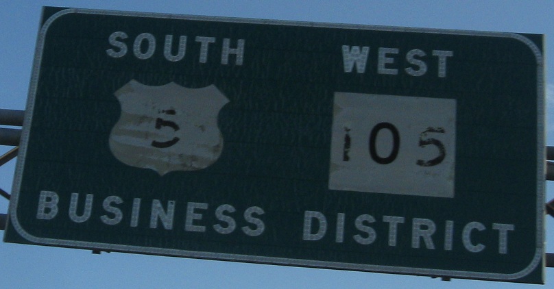
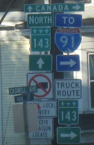
Two more SB photos with VT 105, which ended up with a new shield in the first photo but was kind enough to let US 5 keep its old one. As old as the VT 191 shield is, I can't think the overhead signage is any older - so why does it say "TO I-91" instead of "EAST 191"?
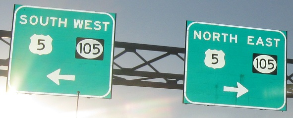
Scenery on VT 191 EB, then coming back to WB signs at the end with a very non-Vermont style. Black-background shields don't belong on BGS unless you're New Jersey, and, anyway, these should be the green Vermont state highway shields.
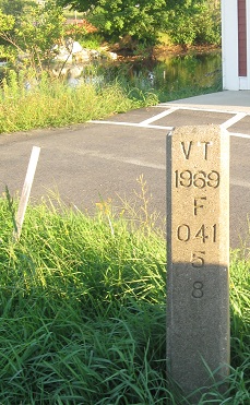
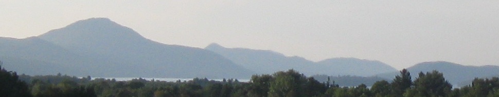
Just south of the intersection (quite a lucrative location), some strange marker I can't decipher on the NB/EB side of 5/105 and Lake Memphremagog on the other side.
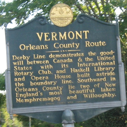
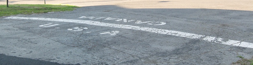
NB and SB in Derby Line at the last chance to stay in the country. Note that every sign except the two 143's is made in Vermont - the arrow and North are coopted from Vermont state routes. I can tell because the metric shield size is smaller than the English-unit banners and arrows. More on the supposed "goodwill" mentioned by the SB sign in a moment, and the words "freedom" and "unity" in the gold seal.
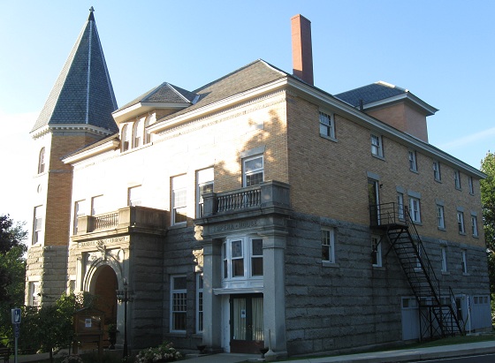
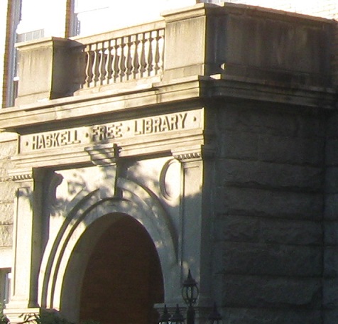
But first, here is the only Canadian library in the United States, a short block east of the border crossing along Caswell Ave. The Haskell Opera House (opera on the second floor, library at ground level) straddles the border, with entrance in the U.S. but books and stage in Canada. It's one of the only ways you can legally cross the border without owning a passport or declaring anything - just don't sneak out the back door if you came in the front. It's most photogenic from the Vermont side.
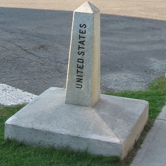
Now for the discussion of goodwill, freedom, and unity. This line crosses Church St./Rue Church (why not Rue …glise?) next to the Opera House, with a border monument next to it. All you have to do is walk across and you're in the other country, but it's not that simple. Freedom means that you will be arrested and detained without rights if you cross here without checking in at Customs. For that matter, you could even use the official QC 143 crossing and avoid Customs, but that's an easily detected maneuver. Goodwill means that Border Patrol regularly shadows those with Quťbec plates on the Vermont side, radioing their position and when/where they cross the border, and thus restricts the ability of residents to move about their own town. Unity means that you can't visit your neighbor or even play catch across the line without being interrogated and potentially, again, detained without rights. So much for principles.
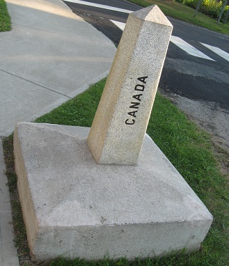
Okay, so if I'm so cynical about the crossing, how did I manage to get a photo of the Canadian side of the monument? Simple - I left one foot on the American side, all the time being watched by a Border Patrol agent (who was on the scene thanks to a Quťbecker returning home), leaned over as far as I could without toppling into Canada, snapped the shot, and bounced back onto the American side without ever officially leaving the country. He must have been satisfied with my performance, because he then drove back to his base.
Onto VT 14 and US 5/VT 14
Continue south on US 5
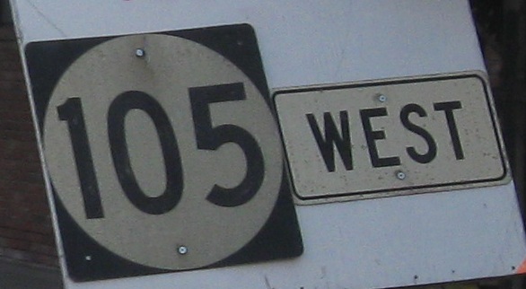
Onto VT 105 alone
Alternate US 5, St. Johnsbury
Back to US 5 main page
Into Quťbec on QC 143
St. Johnsbury Non-Roads along US 5
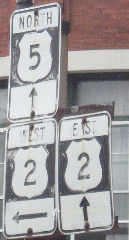
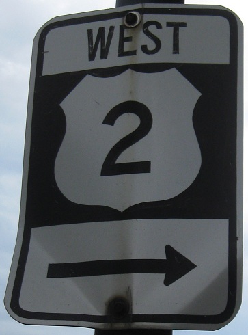
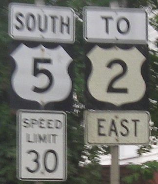
Onto US 2
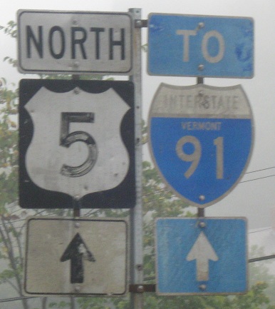
To I-91
Onto VT 5A
Onto VT 16
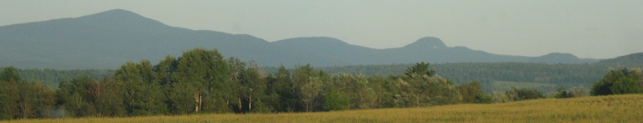
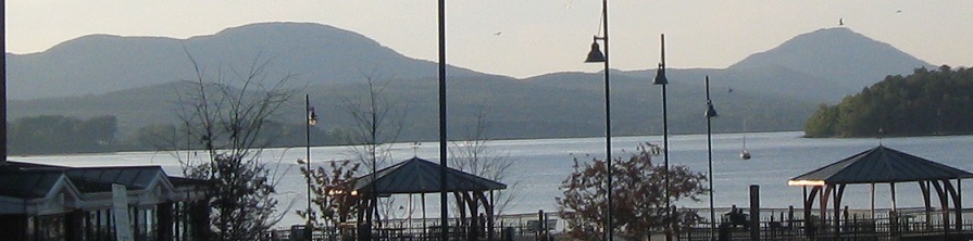
Crystal Lake (along US 5)
Back to Vermont Roads
Back to Roads