Vermont Roads - US 4 - W. of Killington
US 4 west of Killington
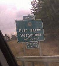
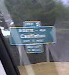
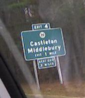
The first BGS (VT 22A) is EB (concrete), the other two (ROUTE - 4A, VT 30) are WB (asphalt), on the freeway that was to have become part of I-92 west of Rutland. (Both sides are asphalt now.) The freeway immediately ends at NY to the west and T's at US 7 to the east after crossing a RR track at-grade. For those who have good eyesight and thus cannot make out BGS #2, although it's a little blurry I include it because it spells out "ROUTE - 4A" (Castleton), nice and old-like. All of these signs have been replaced.
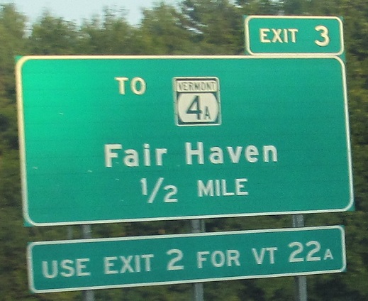
One of the new ones, WB. Exit 2 is indeed VT 22A, but Exit 3 is a better way to head south on it.
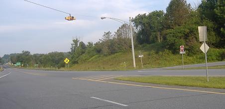

Looking west from the US 4 freeway at New York, with the at-grade Exit 1 in the foreground. The second photo shows the westbound jughandle in its entirety. Of course, this would have been a full interchange, as you will soon see, had I-92 gained any traction. Instead, the freeway dangles as one lonely piece of a barely-conceived Interstate, Vermont's push for a growth corridor that never pushed hard enough. VT 4A begins here, following the former surface US 4, and heads east (behind me).
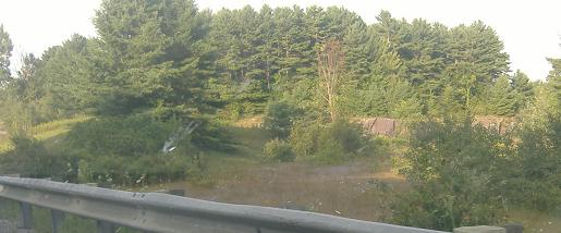
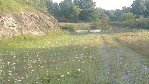
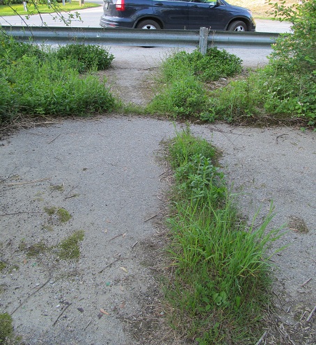
The graded but not cleared right-of-way for the loop ramp that would have taken VT 4A WB traffic across US 4 on an overpass then around onto US 4 WB. Now, besides the circular rock cut, the best evidence is the pair of concrete barriers sitting on the ramp. I didn't pull off the freeway to explore, but aerial photos tell me the entire loop is graded.
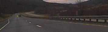
Asphalt. Concrete. Asphalt. Concrete. Asphalt... On the freeway west of Rutland in 2001, all asphalt now.
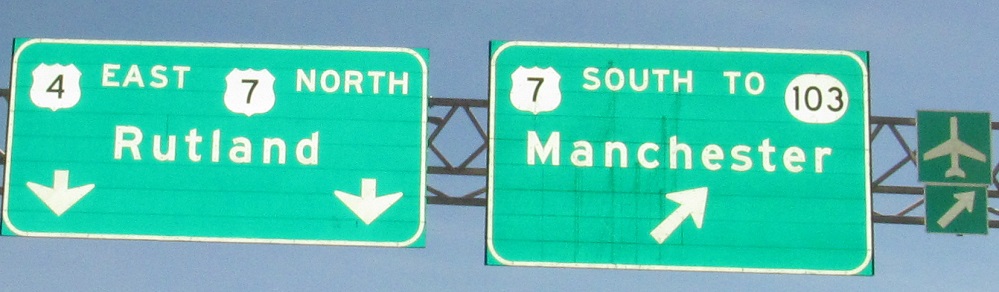
This sign at the east end of the freeway wasn't interesting when I first saw it, but after several years it finally makes it to this page.
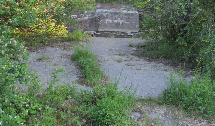
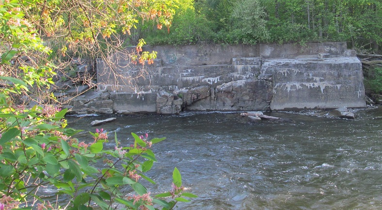
Looking east (first photo) and west across Otter Creek where US 4 used to run. This is at the end of Old Falls Rd., formerly the end of VT 3, beyond what's now Business US 4 in Rutland. Actually, this old alignment is technically in "Center Rutland," which is miles from the center of Rutland. But, yes, West Rutland is still west of here, so order is maintained.
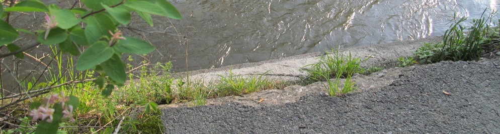
Standing at the very edge of the old eastern bridge abutment, then looking back east.
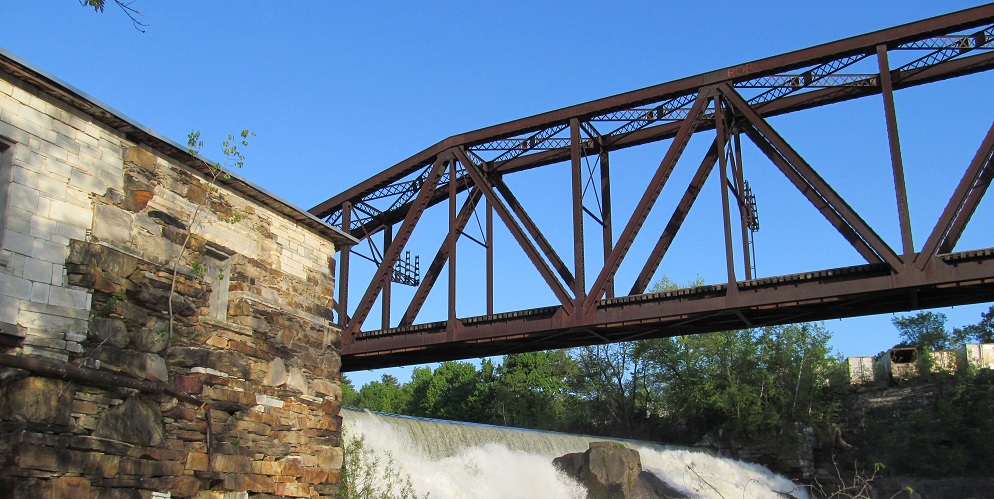
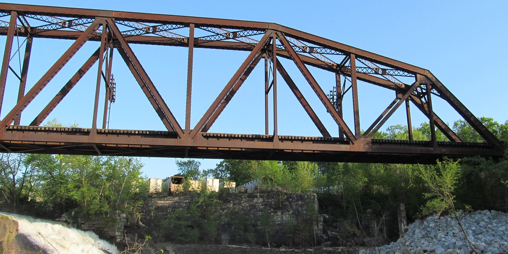
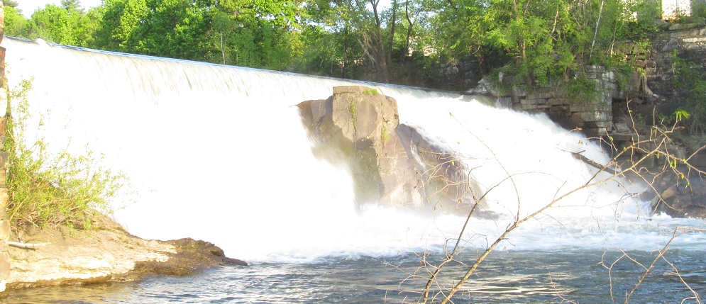
Besides the old highway bridge, there's still a very much active railroad bridge just to the south across a nice set of falls. Worth the trip even for a non-roadgeek.
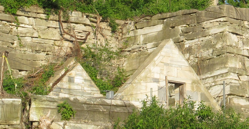
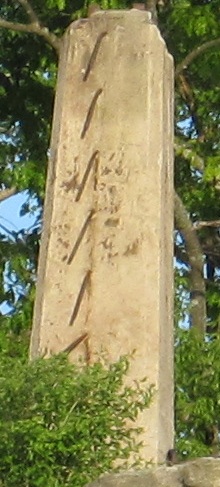
Looking up and to the left (southeast) from the old VT 3/US 4 junction, these random structures are set in and atop the stone retaining wall. Is that a house sunken into the cliffside, or just something that once resembled it? What was ever attached to the column at the top of the cliff, clearly sheared away with great force? Are the two related?
Continue east on US 4
Back to US 4 main page
Into New York on US 4
Exit 2 to VT 22A
Exit 3 or 5 to VT 4A
Exit 4 to VT 30
Onto (current) VT 3
Onto US 7
To VT 103
I-92 on Steve Anderson's bostonroads.com
Back to Vermont Roads
Back to Roads