Vermont Roads - US 2 - Montpelier & E.
US 2, Montpelier and east
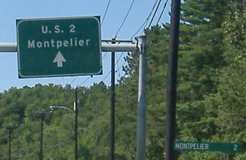
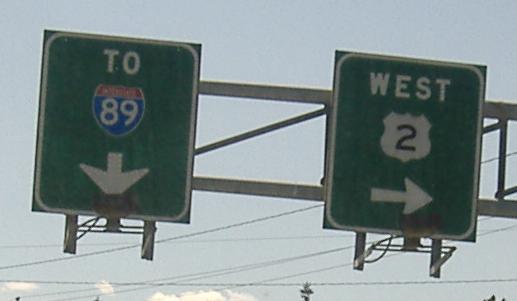
Westbound in Montpelier; US 2 leaves Memorial Drive to cross into Montpelier, while as you can see Memorial Drive goes on to I-89. The middle photos have shields with the old Vermont font - you can see it in the curled 9.
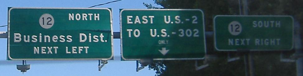
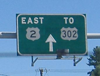
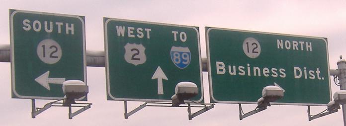
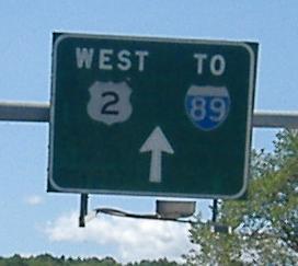
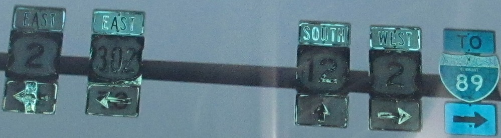
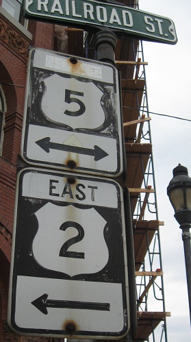
Starting on Memorial Drive EB, and continuing through Montpelier toward Barre on US 2 EB. Each of these photos shows signs on the opposite side of the same overhead pole as the westbound signs above - the first sign here is across from the last WB sign above, the second sign here is across from the third WB sign, etc. I think the route names are spelled out on some signs to save space for the arrows (before the "ONLY" was put on the second sign, a button copy arrow I'm sure filled the space beneath the "U.S.").
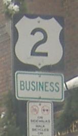
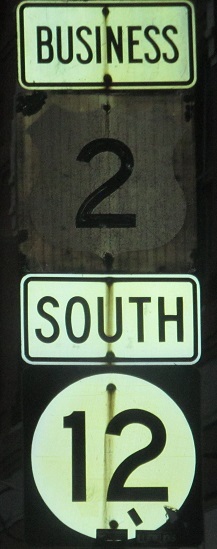
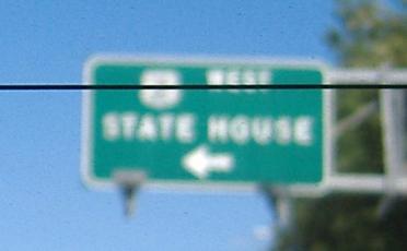
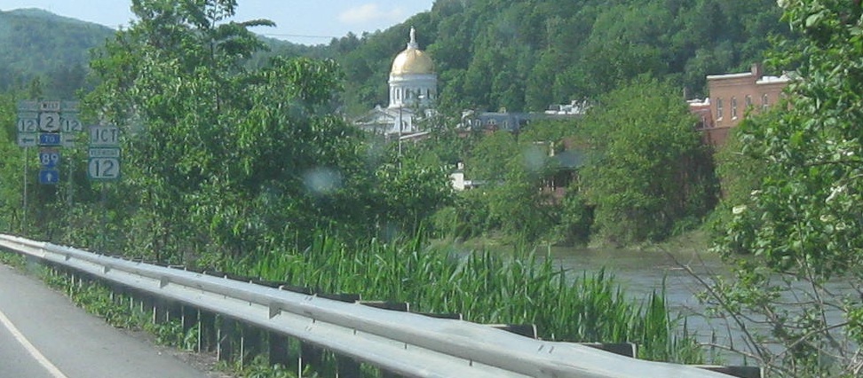
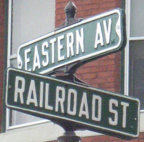
US 2 Business (with one state-issued green sign slipping in that shouldn't be there), original US 2 past the State House and through the heart of Montpelier, including a short multiplex with VT 12. I have closeups of the last assembly, and trust me, they're worth the detour, but you'll have to click on the VT 12 link below.
US 2 WB nearing downtown.
Progressive EB photos of Granite St. on the eastern fringe of Montpelier. Interesting bit o' trivia: Whether or not it was ever US 2, the original road from Montpelier to Barre is called Barre Rd., and is right on the other side of the river. It stays there, and then follows a series of old alignments including Gallison Hill Road, Wheeler Road, and Codling Road. All in all, about five miles of original highway have been bypassed by the modern road, which follows the south shore of the river pretty closely (only crossing to almost touch the old alignment at Gallison Hill Rd.).
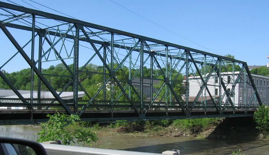

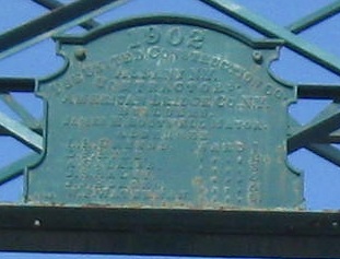
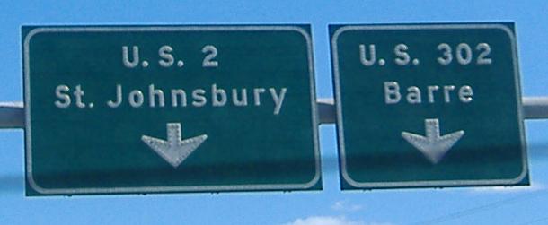
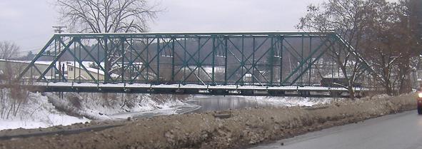
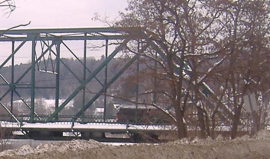
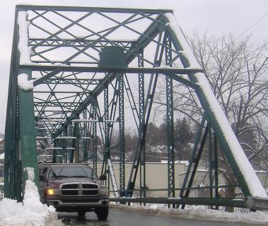
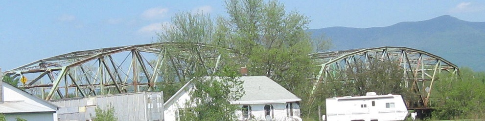
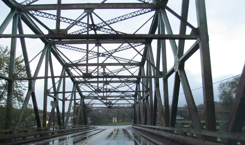
Now WB photos from just east of US 302 up to the same bridge, built in 1902.
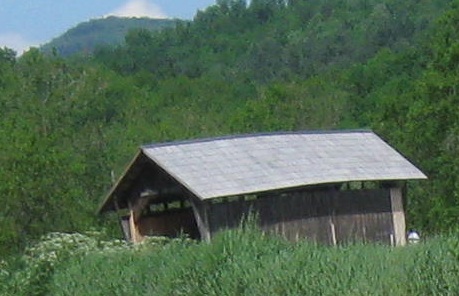
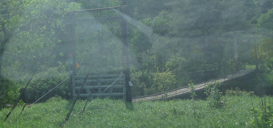
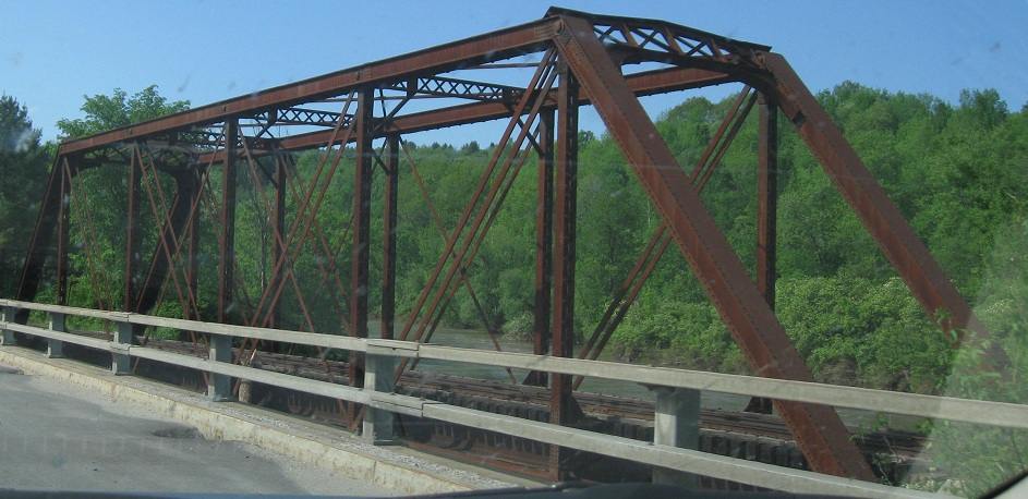
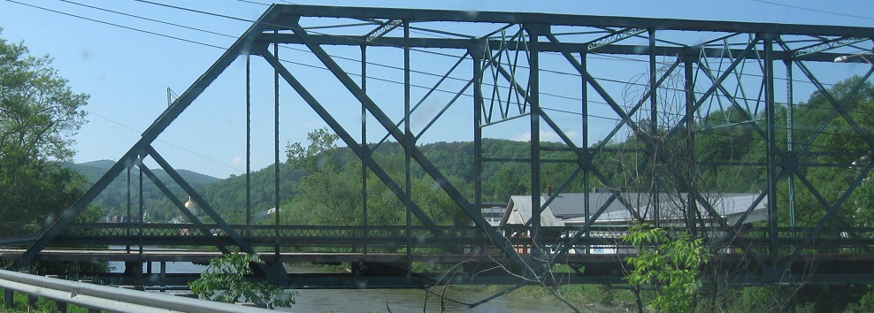
A couple of Winooski River bridges on the north side of US 2 (which criss-crosses the river multiple times), sandwiched around a lozenge shield that shouldn't be so rounded on the sides. (It's supposed to be a truncated circle, not an elongated ovoid.) The covered bridge is Martin Bridge in the Marshfield town park, while the other bridge is someone's driveway just west of VT 14.
Approaching Alt. US 5 on Main St. in St. Johnsbury, though the "ALTs" have faded to nothing and all of the banners seem haphazardly distributed to confuse.
Old WB shields in St. Johnsbury. This is really with Alternate US 5, but there are very few "ALT." banners to be found.
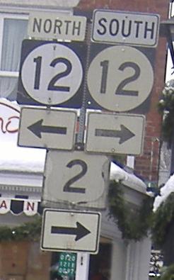
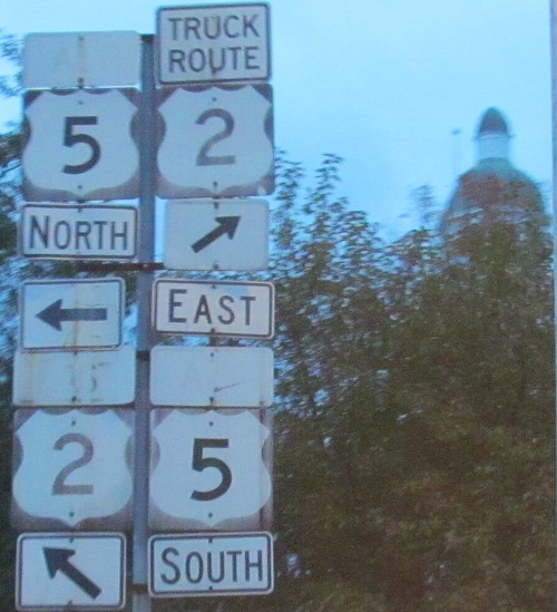
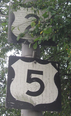
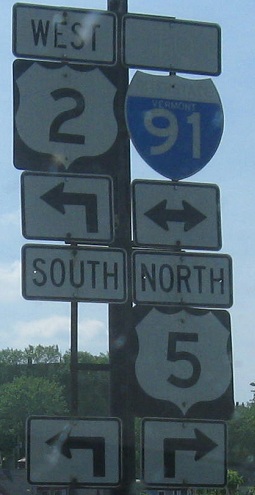
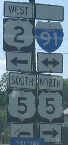
WB and EB mini-shields in the same city, now at the legitimate US 5. Click on the second photo for a shield closeup of the US 5, showing it was once North US 5 straight ahead.
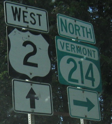
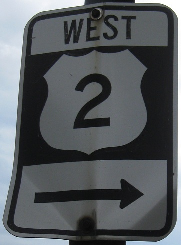
WB photos starting at the VT 102 wye east of St. Johnsbury. Highway shields typically don't use a font as wide as Series E.
Back east from there.
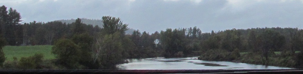
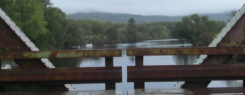
WB across the Connecticut River, looking north and then south at Mt. Pleasant and Orne Mountains, both within a few feet of 1,840 in elevation.
Continue west on US 2
Back to US 2 main page
Into New Hampshire on US 2
To I-89
Onto US 302
Onto VT 12
Onto Alt. US 5
Onto US 5
To I-91
Back to Vermont Roads
Back to Roads