Rhode Island Roads - I-195/US 1A/6/44 - Construction (Exit 3)
New I-195/US 1A/6/44 - Exit 3 and Washington Bridge
February 16, 2007
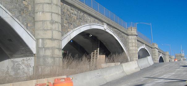
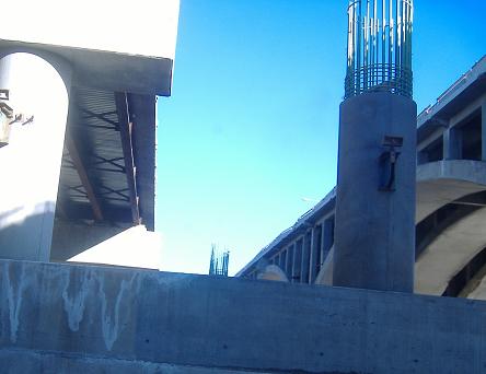
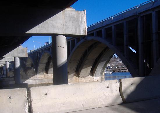
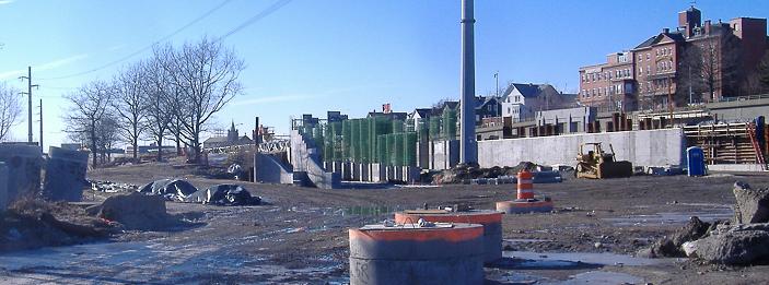
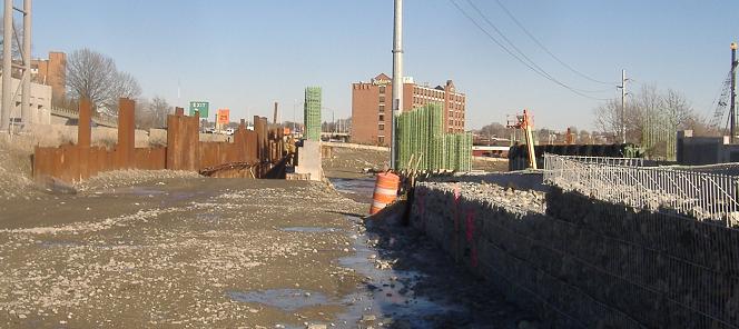
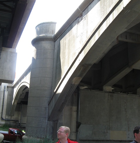
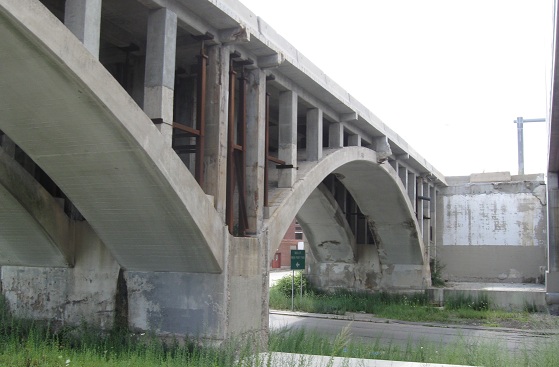
Gano Street North, looking eastward at the trio of Washington Bridges (well, there were only two bridges until construction started). The eastbound bridge (in the first photo) is the oldest and dates to the 19th century; at the time this photo was taken, it was closed for rehabilitation, because 19th-century bridges don't hold Interstate traffic too well. The new piers in the second photo will help carry more I-195 traffic, and the bridge on the left side of it is temporarily carrying eastbound traffic. The old bridge in the last two photos is the westbound span, unique in that the Exit 3 ramp branches off from the middle of the bridge, basically making it a Y bridge.
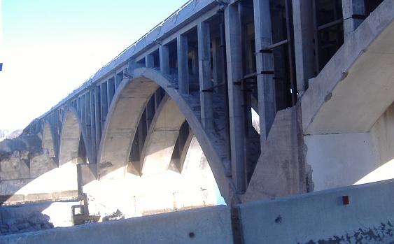
Walking back southward (the first four photos were taken from a car window), along the closed former ramp from I-195 WB, and taking a closer look at the closed Washington Bridge. If it looks stripped away, you can see in the second photo that the left side of the bridge has been removed and will be replaced from the foundation up. That's where the piers from the first set of photos come into play. I had been under the impression that the Washington Bridge was going to remain, but apparently it may get completely replaced.
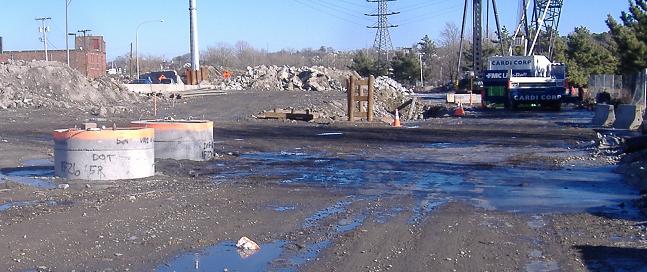
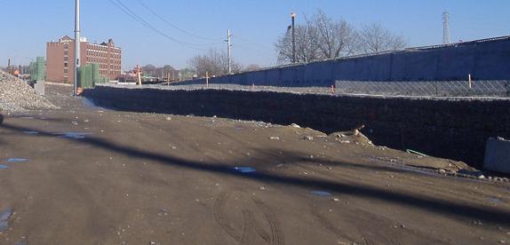
The I-195 WB ramp has been cut off at Gano St., and completely removed west of there; the permanent ramp will be located further west, braided with the India Street onramp.
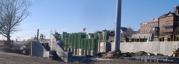
Walking west from the Gano Street area. The onramp from India St. will be on the right, India St. itself will be on the left (behind the tall wall), and the I-195 off-ramp will come down the middle and then around to India St.
Looking east along India St., with the last bit of structure visible in the two mini-piers to the left. The I-195 EB ramp would diverge from India St. here, then curve back around to a T intersection.
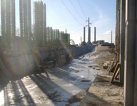
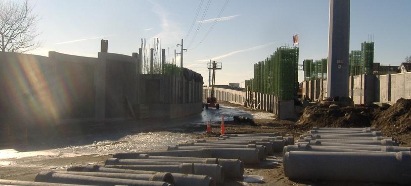
Standing in the shoulder of future I-195 (to be well above me), facing a short tunnel ahead where the I-195 EB offramp will fly over the India St. onramp.
Walking eastward down the EB offramp, with India St. below to the right and the onramp to I-195 to be located to the left.
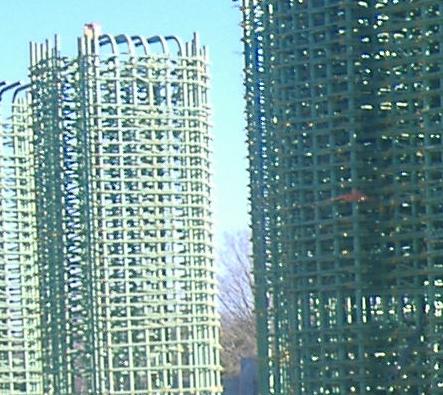
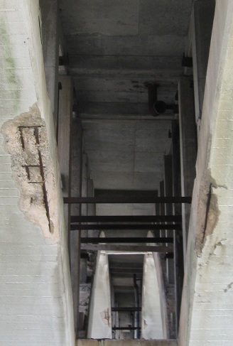
Those are substantial piers there, to bring the I-195 ramp down to grade. Each of these piers could support the weight of several trucks even without concrete.
August 7, 2010 Providence Road Meet
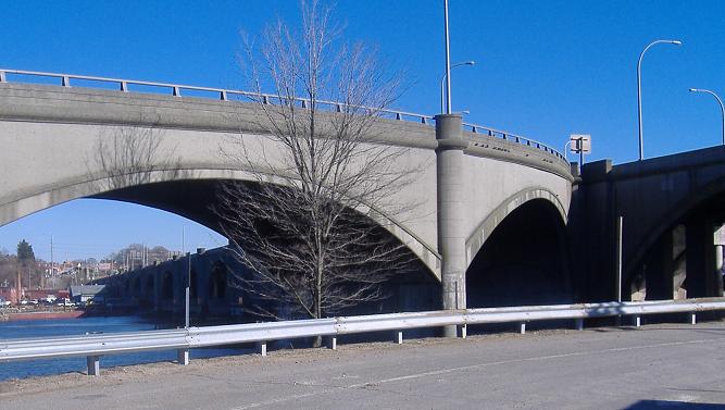
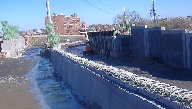
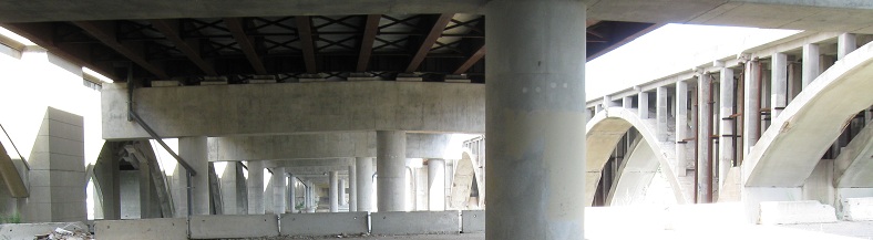
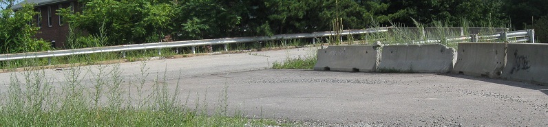
A few years later, with construction still far from over, I decided to make I-195 the centerpiece of a road meet and give 10 others a chance to scamper about. This photo looks west between the original WB bridge and the modern bridge carrying I-195/US 1A/6/44 EB.
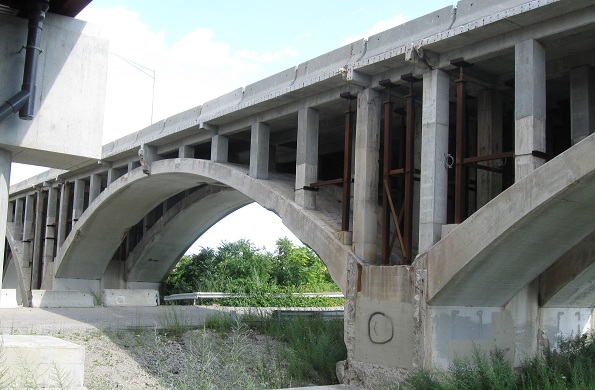
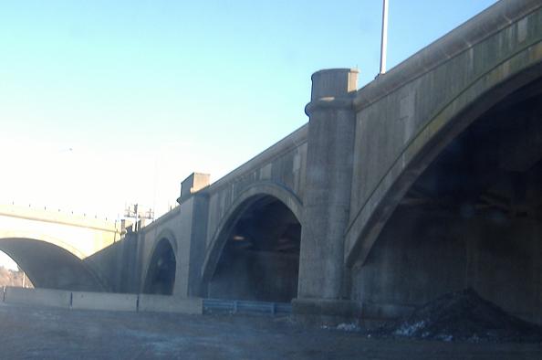
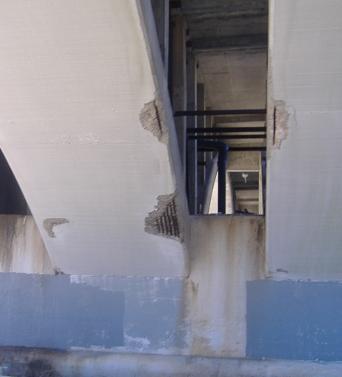
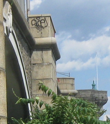
Over three years, the only change to the oldest bridge of all is another arch removed, down to just 2 and serving only bicycle traffic. At least this seems to be a semi-permanent state of affairs, preserving a nonzero part of history. I would think and hope that this naked face will be covered with something resembling the original stonework or at least something more finished-looking than bare concrete with metal poking out.
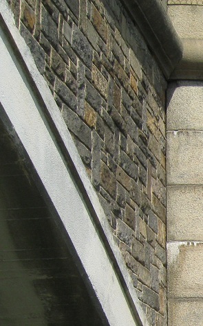
Some details of the original stonework on the outside of that bridge.
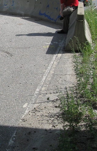
Turning my attention downward, this is the old SB-EB onramp from Gano St., still with its white stripe, ending and forcing traffic (what traffic?) over to the former EB-NB offramp, still with its curve sign.
Providence River Bridge approach construction
On the Providence River Bridge
A different perspective, from US 1A (alone)
US 6 alone
US 44 alone
Back to the I-195 main page
Back to the Providence Road Meet main page
RIDOT's I-195 Relocation webpage
Back to Rhode Island Roads
Back to Roads