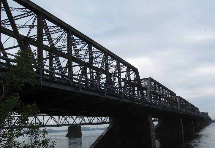
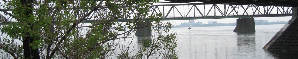
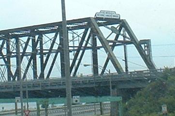
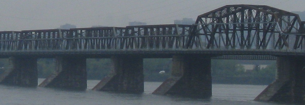
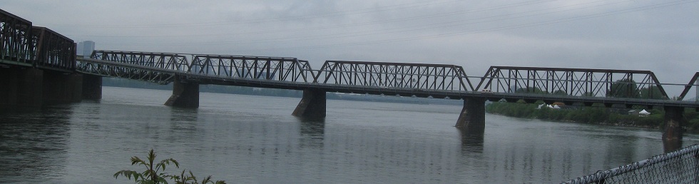
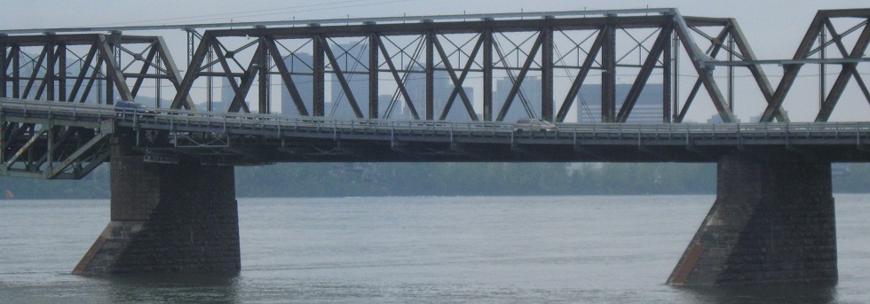
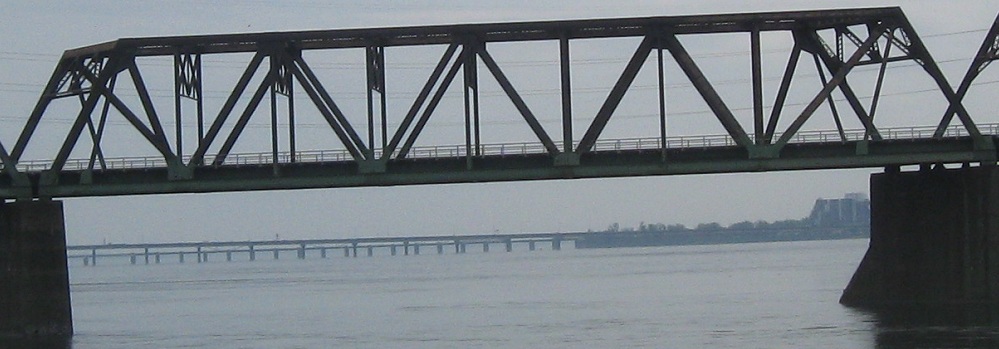
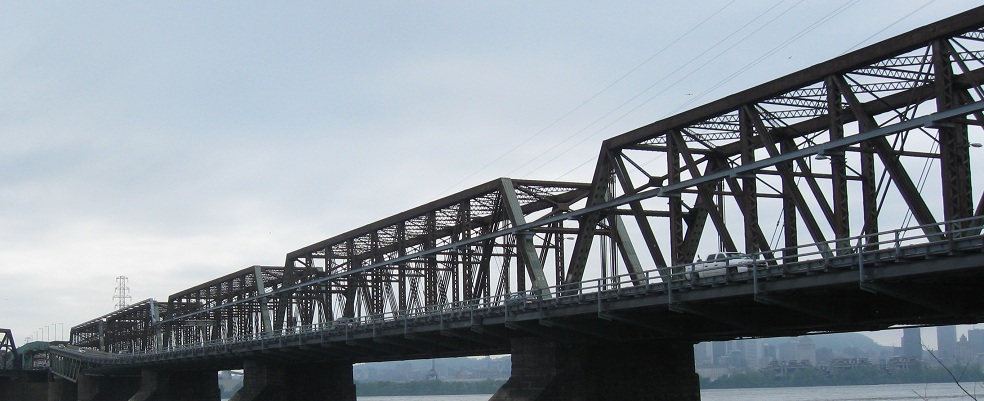
Le Pont Victoria, seen here from Rue de l'Écluse WB (Lock Street, essentially), was named for the Queen of England at the time, to give you an idea of its age (1860 was the year). This was the first bridge to cross to Montréal, a critical link in the Grand Trunk lines across the region. Originally, as seen on The Montréal Hub, only the center portion of the bridge existed, a steel tube designed to carry trains; after being replaced in the 1880's by a series of trusses (which were built outside the frame of the tube) to mitigate air pollution inside the bridge, trains have used the structure to this day. In 1898-1899, two roadways were cantilevered off each side of the bridge, to accomodate non-train (now automotive) traffic, and a second track was added to the main span. At the same time, an odd hump was created about 3/4 of the way across from Montreal, where the second track crosses underneath the side spans. The outer lanes (which I am told were once two eight-feet lanes on each side, with one side for streetcars only, though I have found little evidence for this) were tolled until 1962, and apparently were replaced in 1935 (EB side) and 1955 (WB side) with something more appropriate for cars than the originals. The mystery remains puzzling.
You can see in this picture the original steel-mesh/wire nameplate on the west side of the bridge.
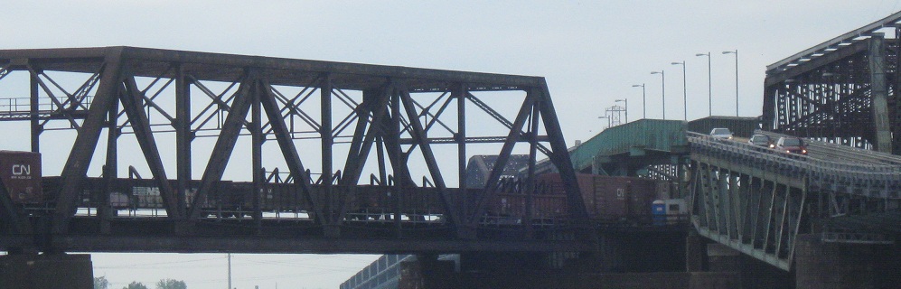
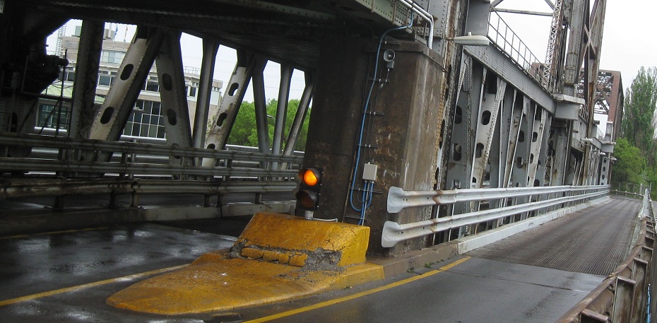
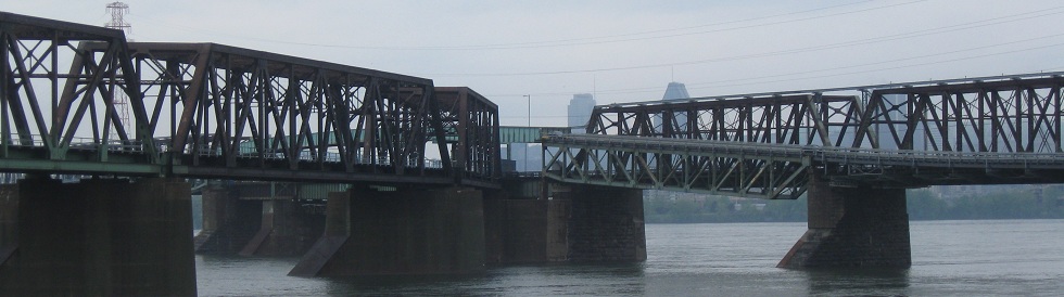
To get to the bridge from the east (non-Montréal) side, one must follow a convoluted, very narrow set of ramps. This bridge would only suit one-way traffic on U.S. roads - and its clearance is far too low for trucks on Interstate highways. But here, it serves two 7- or 8- foot lanes. Even weirder, you are on the left!! There are, in fact, two separate sets of ramps for each side, ending up in the same place. This supports the theory that each side might once have been two-way, for then there would be a reason to have both the eight-foot lanes through the ramps and the entire second set of ramps at all. Half of the EB/outbound roadway follows the first set of tracks all the way across the main span, but then veers off and joins the second track across a much smaller channel. This is to facilitate ships going through locks on the south side of the river so that traffic can always be maintained on one roadway or the other. Seems like a big deal to me versus just raising a drawbridge for a few minutes, but maybe it makes more sense when routing trains than when trying to redirect cars back and forth.
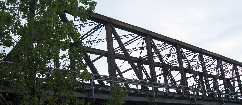
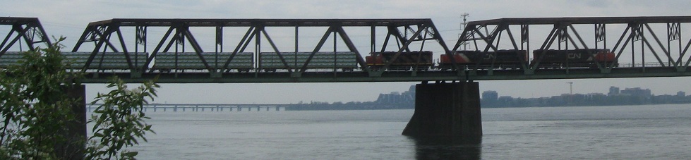
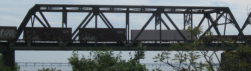
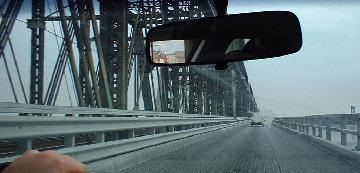
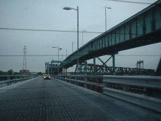
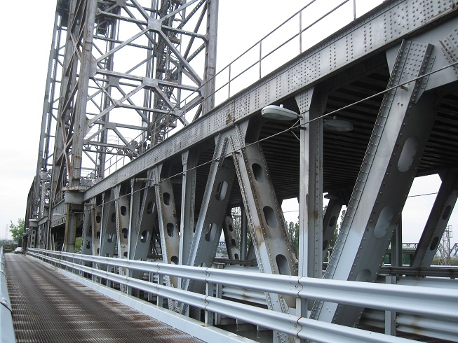
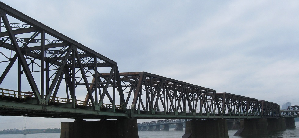
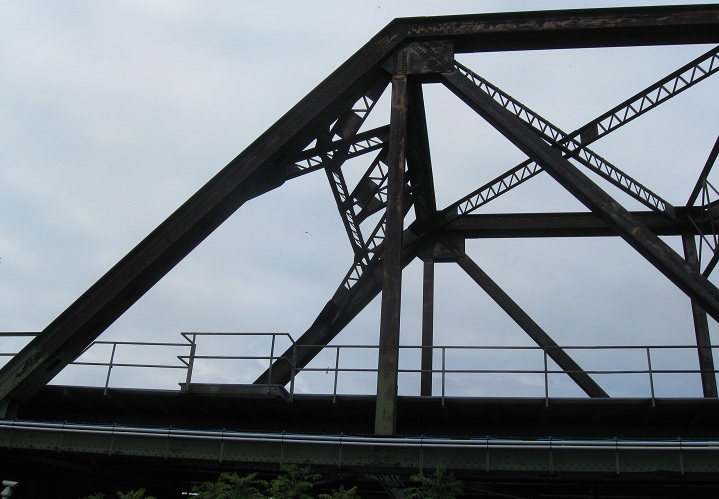
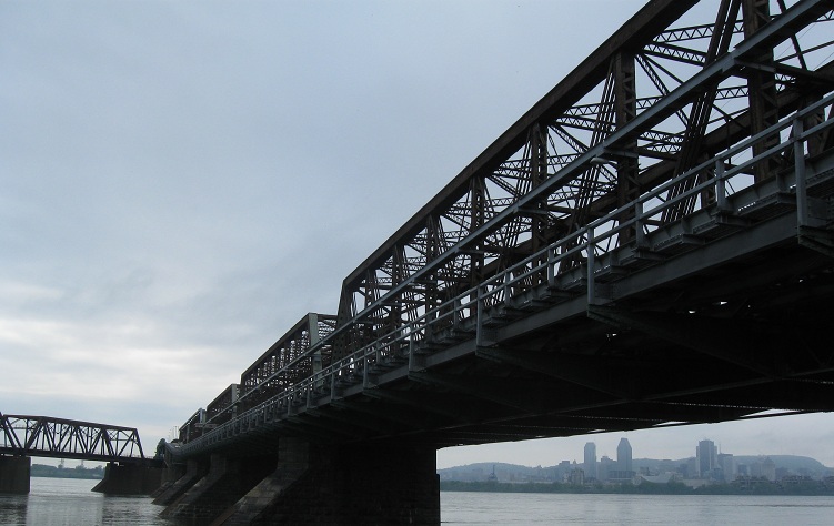
Views of the cantilevered side lanes heading EB, showing the central truss structure of the bridge as well as the way the second set of tracks departs from the bridge almost to the east side. The last photo is on the south bridge where the EB lanes split, as if there were two lanes to begin with (well there used to be, but definitely not anymore).
Now WB, on the north half of the eastern spans, up to where the south half roadway would come in as a right merge if the north road were closed. There's a gate there because traffic can be reversed as well. It's an incredibly complicated system, but it apparently works. Click to play the video continuing across the span to Montréal.
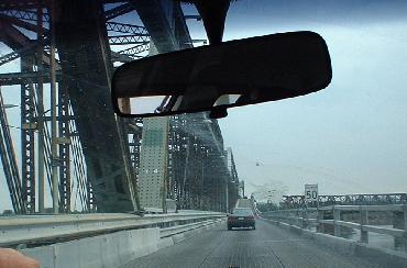
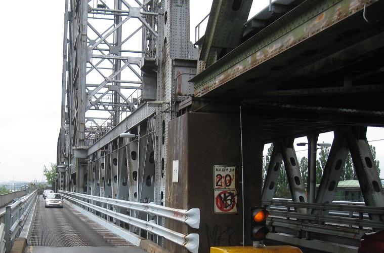
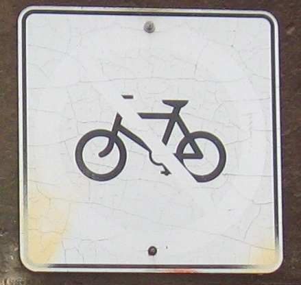
Looking west at the usually-EB south lanes of the south bridge. I think not bringing a bicycle up here amounts to common sense.
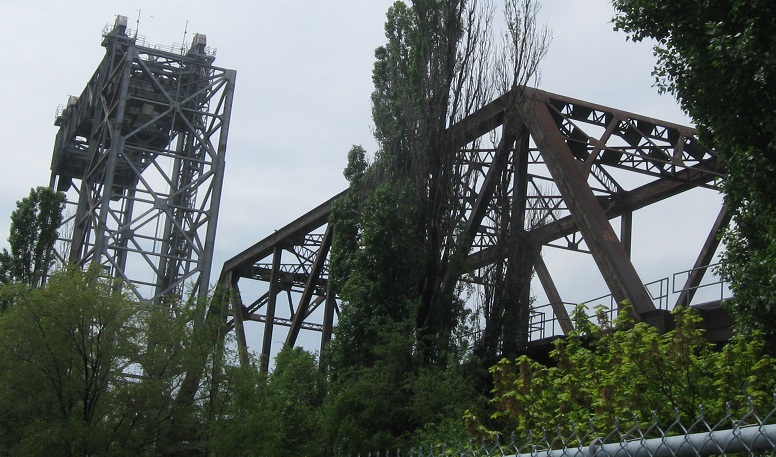
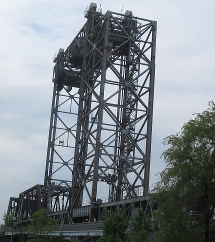
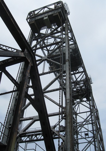
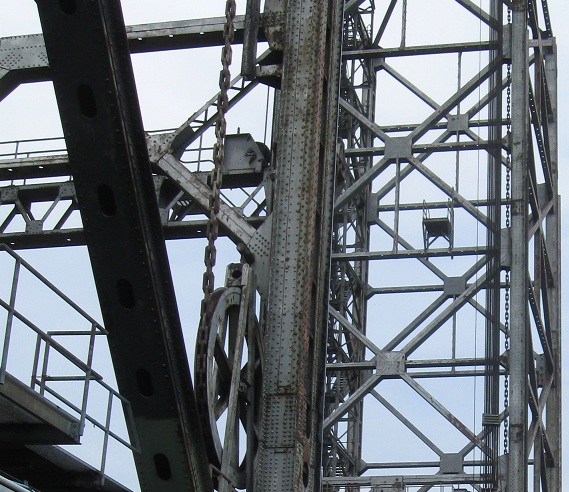
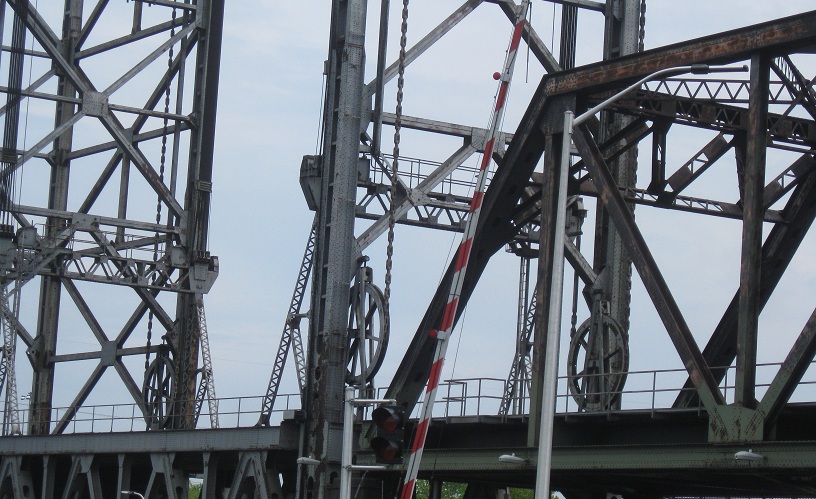
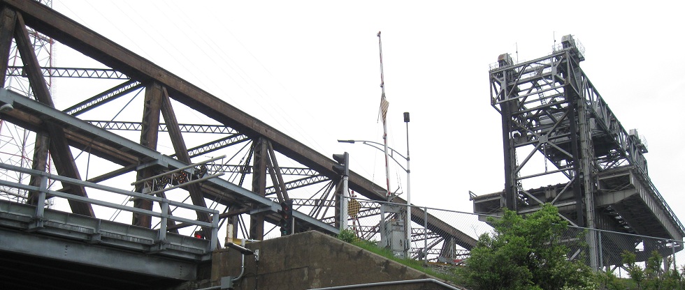
Deliciously chainy views of the southeastern lift structure, looking east from the south side.
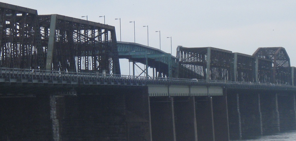
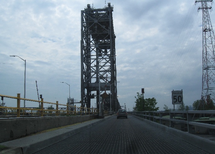
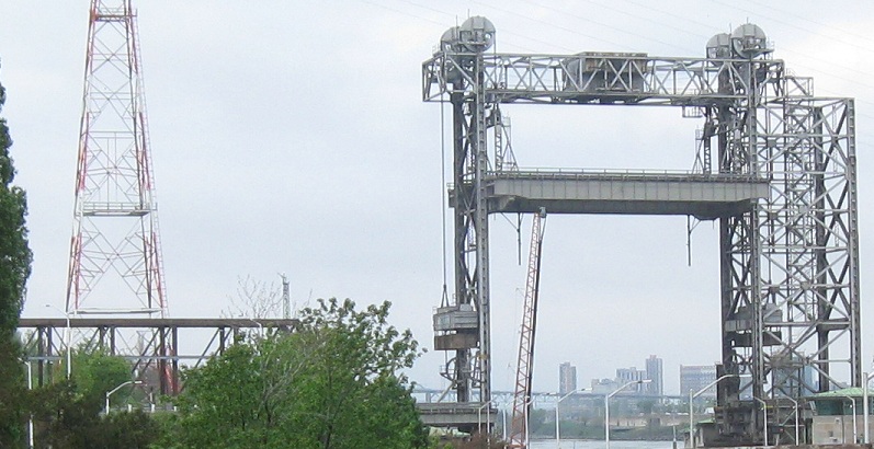
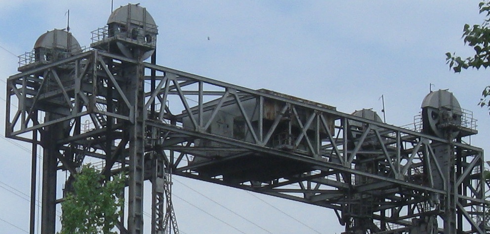
Looking north at the identical northeastern lift structure. Right now, that one's up to let a ship finish passing that was going under the southeastern one not too long before, so all traffic has been diverted to the southern bridge with gates and arrows.
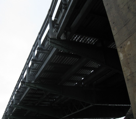
Looking west as I pass under the trestle.
More westward views, walking between the southern and northern bridges.
Walking north toward the northern bridge.
Turned around, facing south, and panning from right to left with views of the southern bridge.
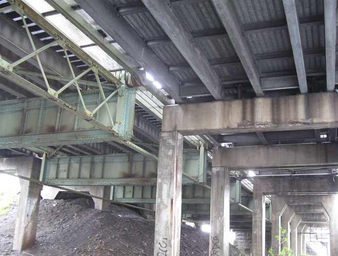
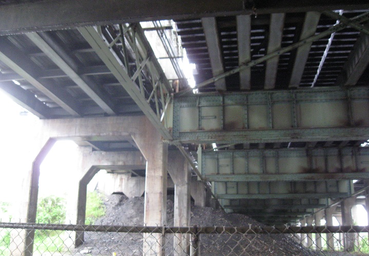
Now crossing under the northern bridge, facing west the whole time. The last two photos show the south and north cantilevered roadway lanes.
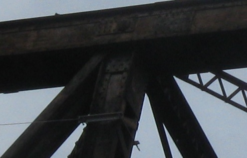
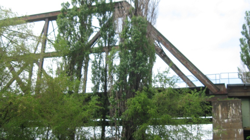
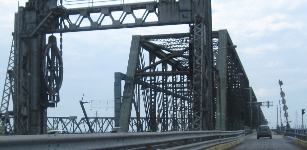
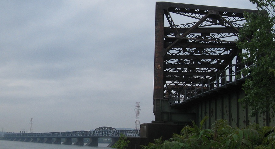
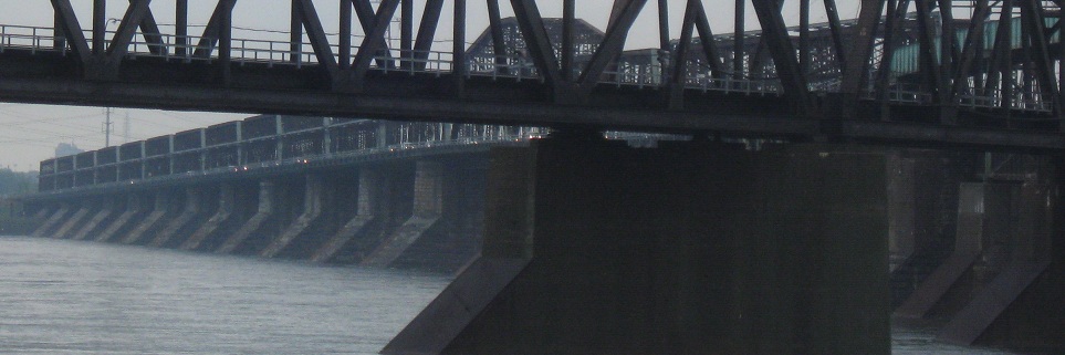
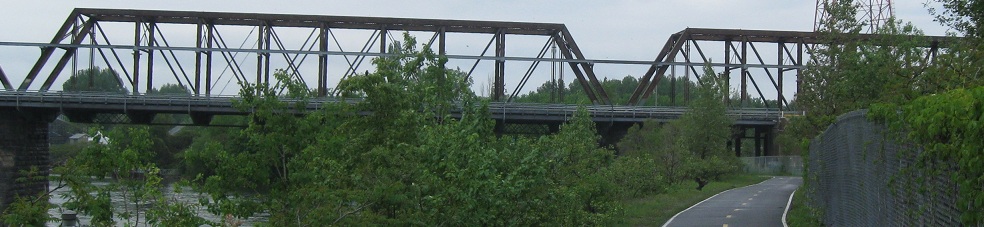
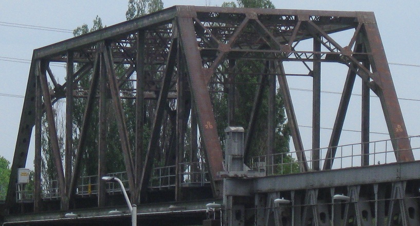
Doing the same thing, looking to the east. The central green structure holding up the railroad is clearly much older. Unlike the southeast lift structure, there's no splitting of the roadway lanes; they remain on the outside across the original span.
One of the original piers under the northern bridge.
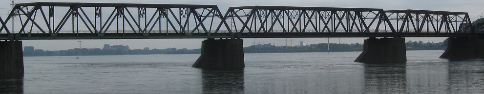
Now that I'm all the way across, looking south at the northern bridge, panning from east to west.
But wait, there's more! I catch a freight train making its way across, along with some questionably tasteful bridge porn as the train enters the crevice (oh, baby) under the briefly elevated south roadway.

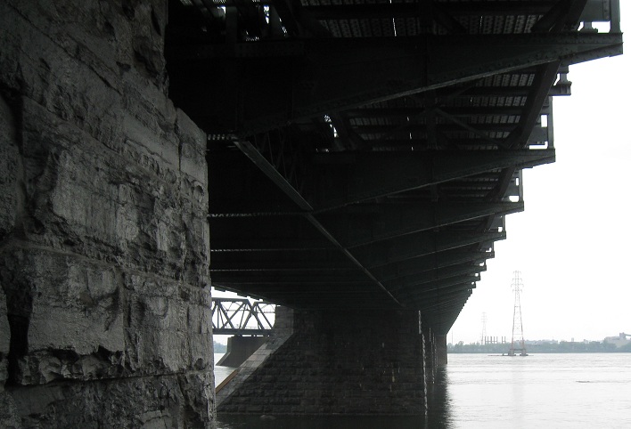
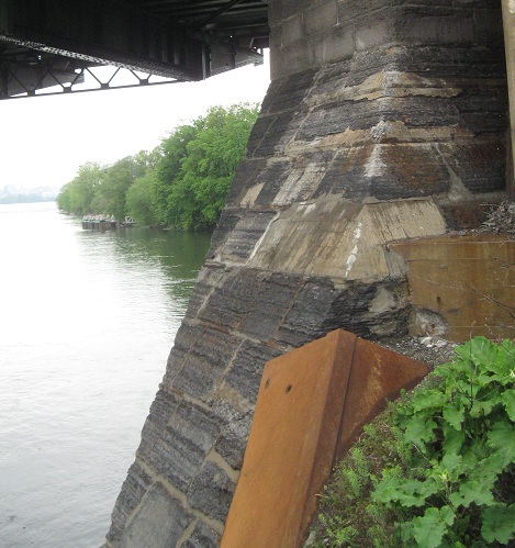 One of the original piers under the northern bridge.