Québec Roads - A-50 - W. of Montebello
Autoroute 50 west of Montebello
All photos were taken westbound, or else from a crossroad, and thus progress from east to west. I'll point out whatever doesn't face west.
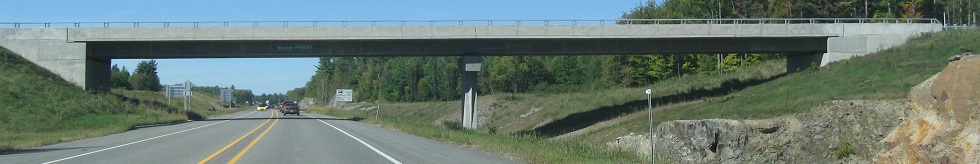
Côte St-Charles SB and looking back north as it crosses under future A-50 west of QC 321 in September 2011.
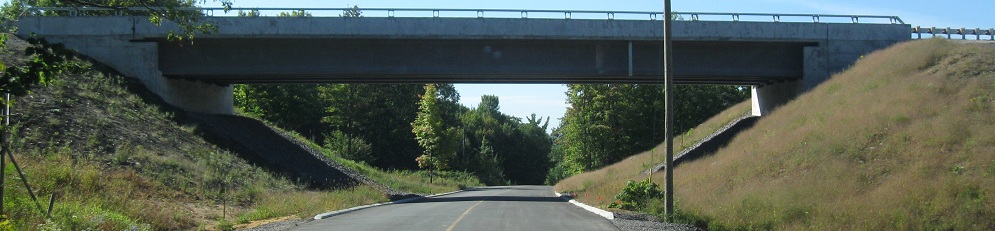
Facing east (first 2 photos) and west (last photo) from Montée St-François. To the east, the overpass of Côte St-Charles is at the far end of the straightaway, not really visible because it's under A-50. To the west, you have Sortie 197 for Montée Papineau.
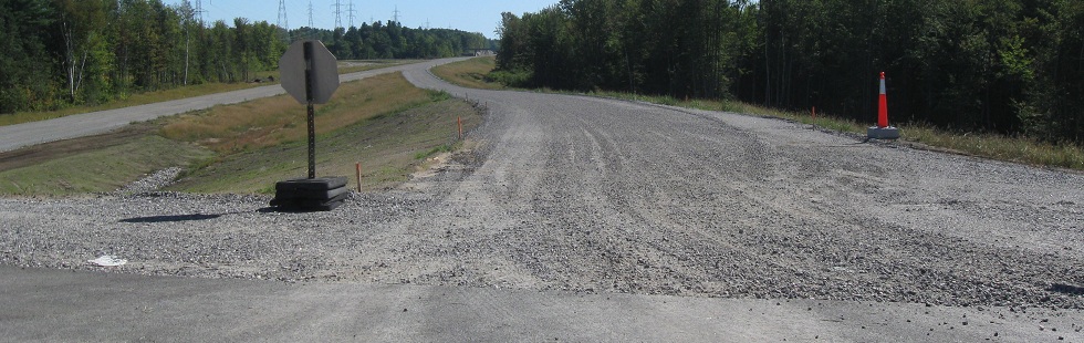
Montée Papineau SB at A-50 Sortie 197, then looking left and right at the WB offramp and onramp, still in September 2011. It's very unclear why through traffic needs to stop for an unopened ramp, as it's light enough that construction vehicles should have no trouble crossing.
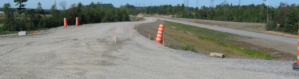
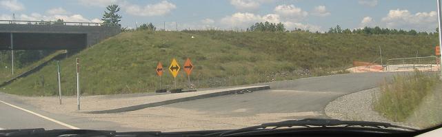
Across the interchange, looking left and right at the EB onramp and offramp.
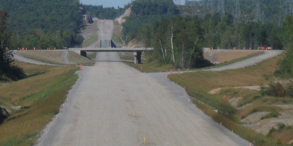
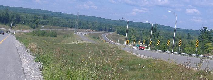
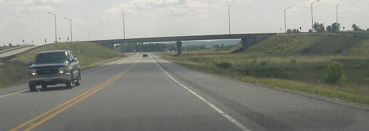
Looking west along the freeway from there, with a similar view to that from Montée St-François. It would seem that A-50 temporarily opens up to have a climbing lane, in either one or both directions, over the hill.
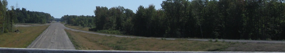
Looking east, with Montée St-François in the background.

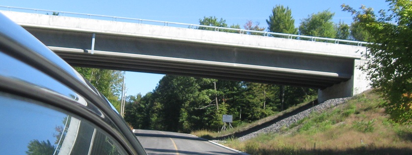
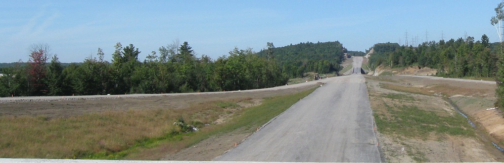
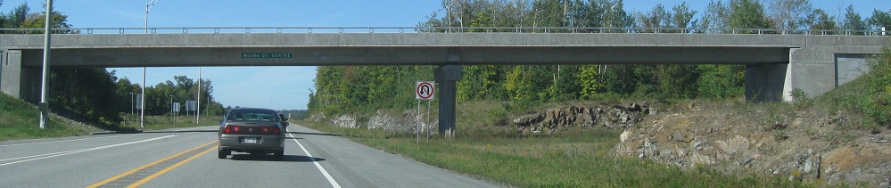
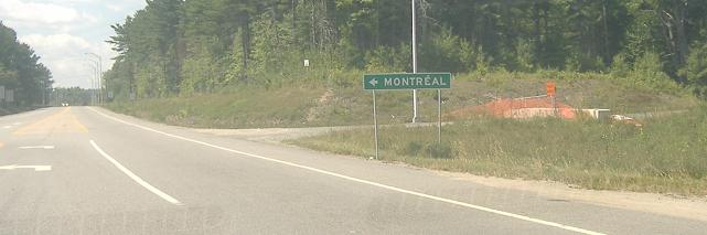
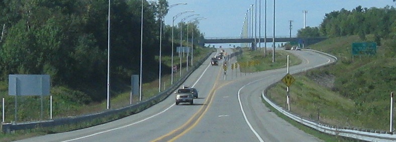
Montée du Gore NB and looking east at the other side of the hill from Montée Papineau.
Looking west from there with another likely climbing lane.
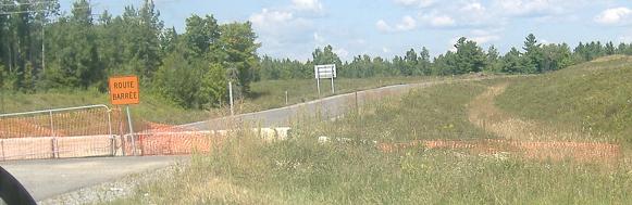
Montée Parent and Montée du Quatre, heading west from the 2011 end of the road at Sortie 187 (QC 317; see big link below for photos from that interchange). There would be another carriageway here if A-40 to Highway 417 weren't a shorter and more established route from Montréal to Ottawa.
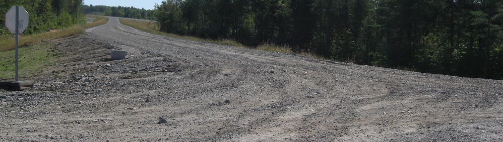
Chemin Doherty in Buckingham, which becomes QC 309 NB straight ahead, in August 2007 when western A-50 began here. The only way to follow QC 148 to this end of A-50 was via dirt roads.
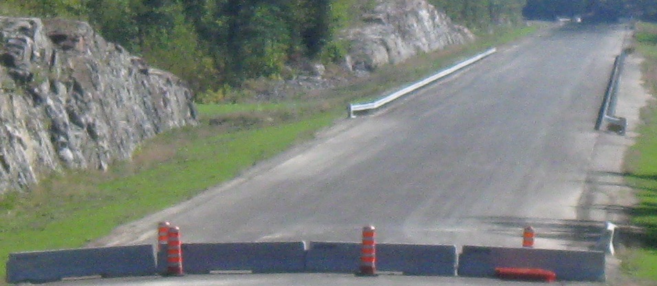
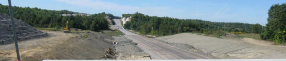
The barricaded but paved EB onramp, probably used for construction vehicles, and then the curiously signed WB onramp. If this is A-50 WB, why is it signed to a city far to the east? Answer: Because no one in his right mind came from the east in getting to this spot. So, really, it's telling locals to follow A-50 to, say, QC 315 SB, over to QC 148 EB, since there's really no better (aka paved) way to go. At least for now.
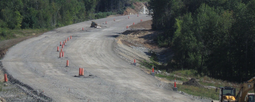
Looking up the "closed road" of the westbound offramp, and then onto the western section of A-50 at its stub merge.
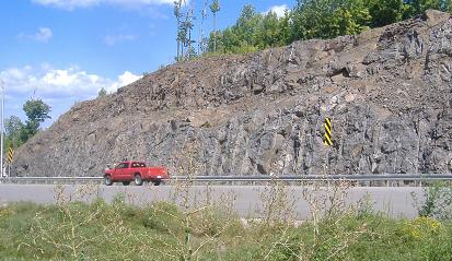
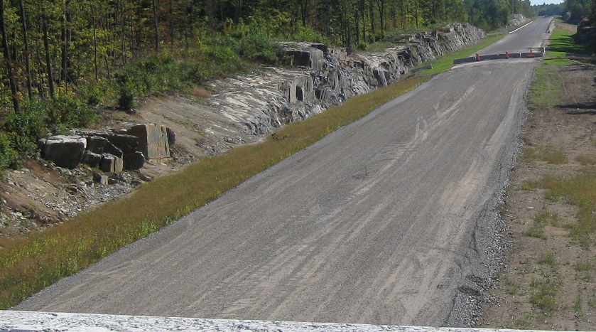
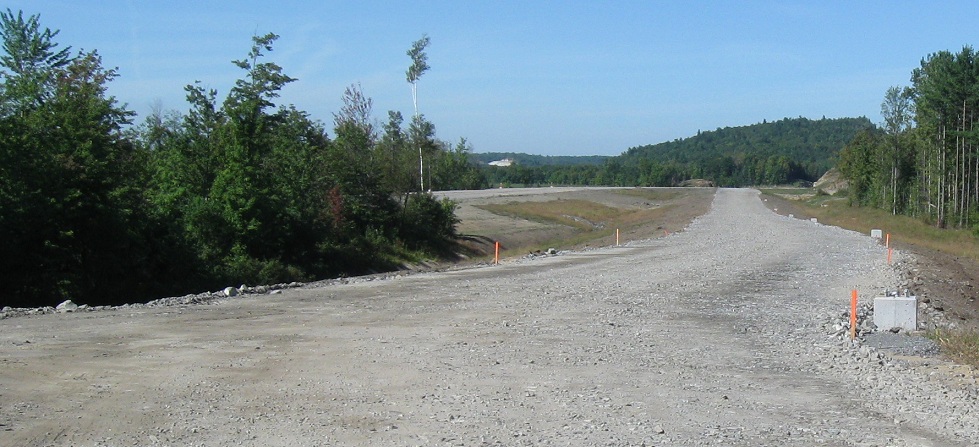
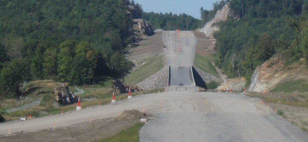
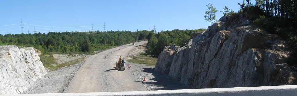
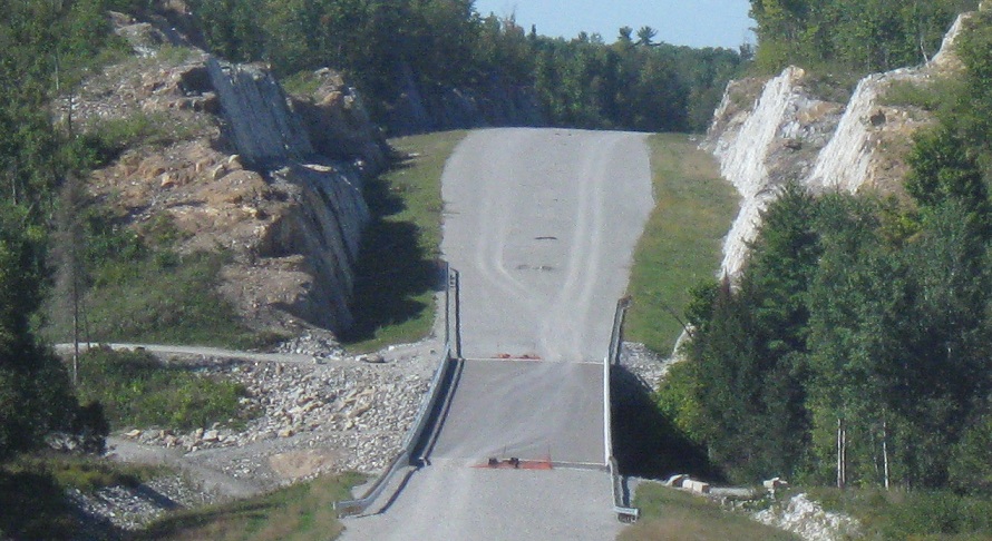
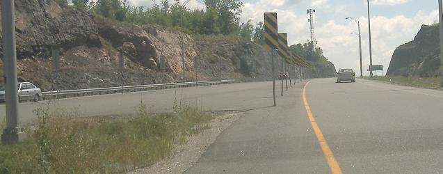
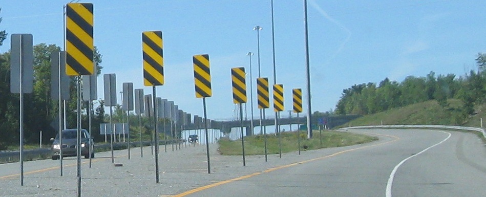
Far and near perspectives looking back east, still in 2007. The highway is clearly paved for a significant distance to the east, which is why it's soon to open. It seems all of Québec's newest freeways involve rock cuts.
![]()
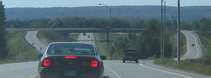
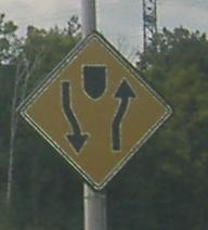
As on VT 289 (which I captioned a few hours ago), the overpasses are wide enough for a dual carriageway, and when that carriageway is built the diamond exit ramps will line up perfectly. You can see the twist in this offramp ramp as it crosses those future lanes.
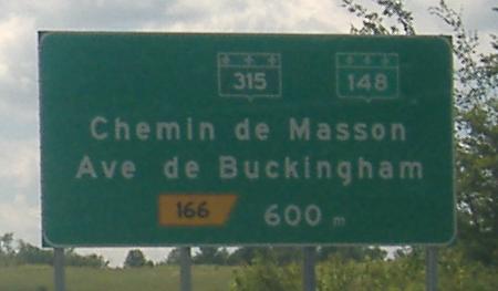
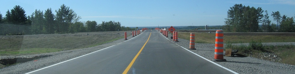
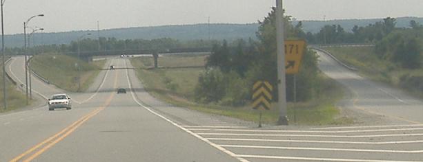
The freeway widens out to its proper lane balance, as the prophesy of QC 309 comes true - via QC 315, QC 148 can be reached and thus eastbound can be attained. That 148 shield is definitely temporary.
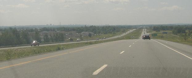
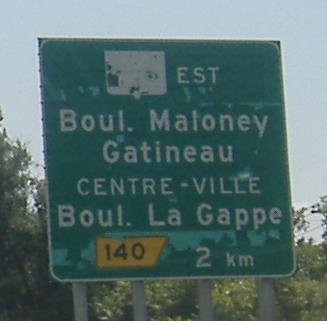

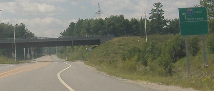
With Ottawa on the horizon, it's time for the peeling signs to make their appearances. Notice that the lanes in the diagrammatic are green. And note that A-50 ends just one exit west of here, so there's not an incredible need to sign it yet - the actual road to be reached at Sortie 134 would be more useful. Finally, both notice and note that Hull is still used as a destination, even though it's been absorbed by the more French-sounding Gatineau.
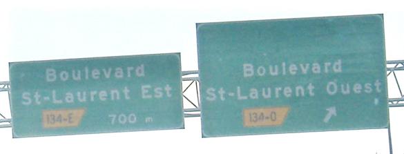
Saving the last for last, the very end of the freeway. It may eventually extend along QC 148 to ON Highway 148 and Pembroke, becoming the northern counterpart to Highway 17. My guess is there should be a QC 105 shield on the right sign.
Continue east of Montebello on A-50
Autoroute 50 construction:
~ QC 317
~ QC 321
~ Chemin Ste-Hyacinthe (Montebello)
~ QC 323
Back to A-50 main page
Any number of exits to QC 148
Sortie 135 to Autoroute 5
Back to Québec Roads
Back to Roads