Québec Roads - A-20 - E. of Montréal
Autoroute 20 east of the Montréal area
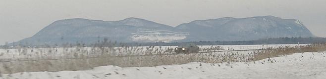
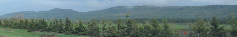
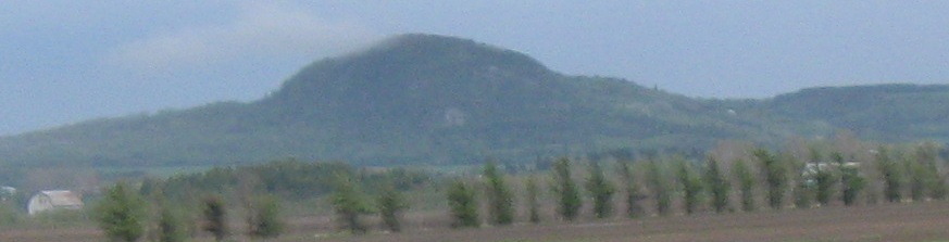
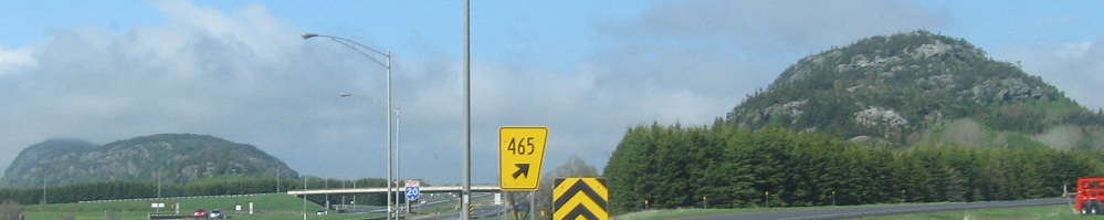
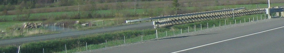
Westbound past some older BGS's to an unusual blemish on the flat plains of Québec, Mont St-Hilaire. Mont St-Bruno is a smaller irregular hump, a few kilometers to the west. There are two more humps to the southeast (Mont Rougemont and Mont Yamaska), and then nothing more in any direction. These unusual humps, the Monteregian Hills, also contain several unusual minerals not found anywhere else. As I've learned by reading (yay knowledge), these aren't so much protrusions from the ground as they are more durable remnants of a mountainous (or at least hilly area) that has otherwise eroded away.
 Here, have an EB sign.
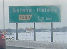
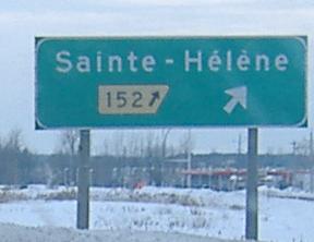
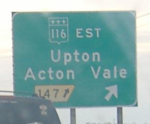
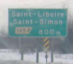
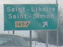
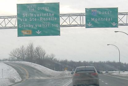
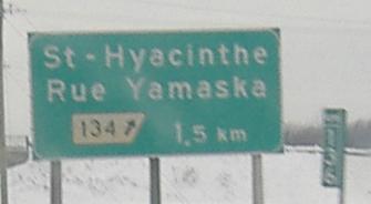
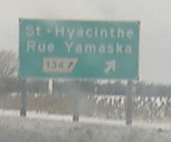
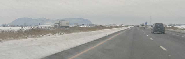
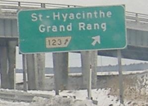
More older WB signs, with the exit arrow still inside the tab, and then life imitates art around St-Hyacinthe. I'm guessing A-20 originally transitioned into QC-116 here before the St-Hyacinthe bypass was constructed. So why the freshly painted double yellow line on an exit ramp that's clearly one way?
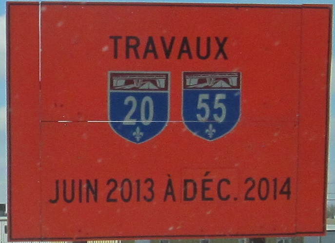
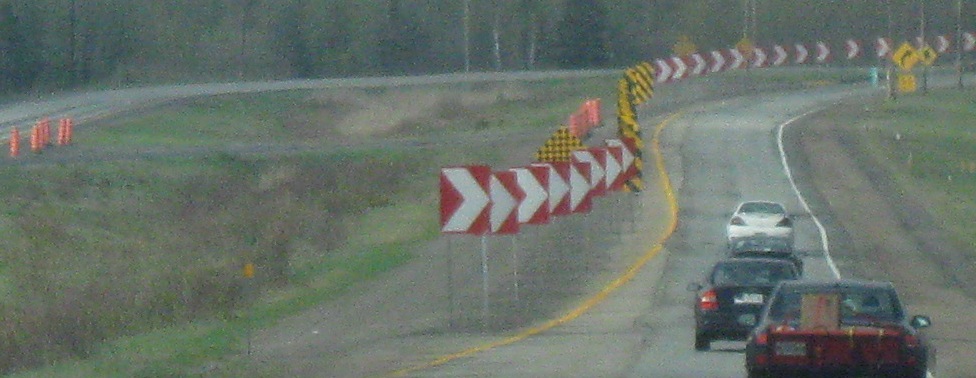
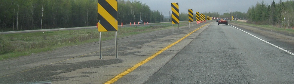
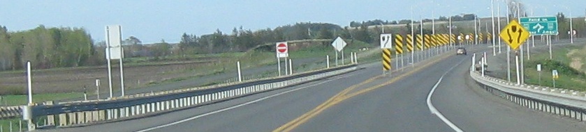
There are travaux (road work, plural) and regrettable shields WB nearing the A-55 interchange.
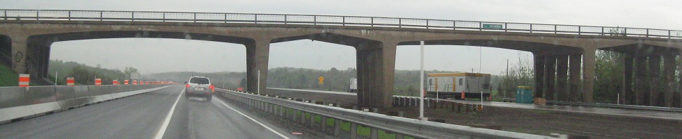

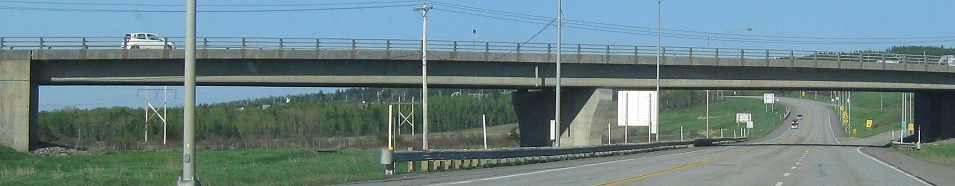
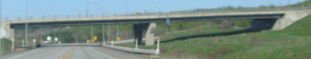
Eastbound again, under Route Germain, and then reconstruction west of Québec City taking out the EB lanes.
WB on the C-D road from Sortie 314 (QC 175) to 312. I've cropped out the newer signs that you don't care about. No, you don't. I said so. Put that down or no dessert.
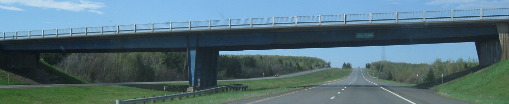
All remaining photos are eastbound.
The older BGS's make an appearance with their directional arrows inside the tab, squishing four digits and a hyphen into the tiny space left. The old overpass is at Sortie 337, for QC 279. Pardon the rain, but it was raining. What do you want?
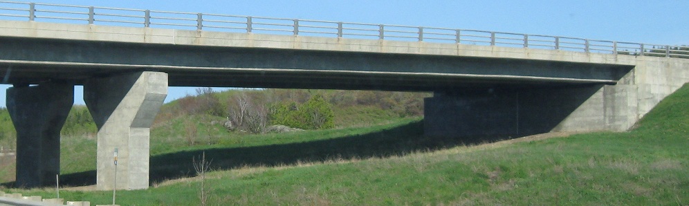
The overpass is for Route Elgin. Remember QC 132 from Montréal? It's baaaaaack! (It follows the St. Lawrence River, and A-20 heads inland until Québec City.)
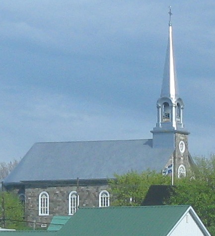
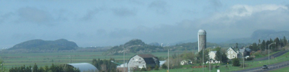
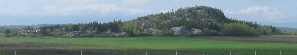
The penultimate photo is the same rock formation as in the back of the farm photo. The first three photos are on the south side of the freeway; the church is in St-Philippe-de-Néri off Sortie 456.
Côte de la Mer EB at A-20 Sortie 496.
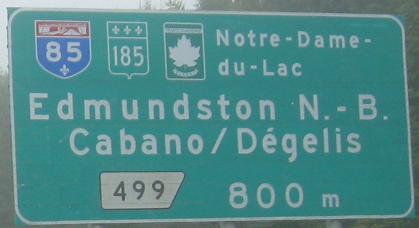
Two of the three directions covered at the interchange, with the second sign on A-85 NB. It's the last link in a Trans-Canada Highway freeway from Ottawa into Nova Scotia, finally connecting the two major freeway systems in eastern Canada once it's completed.
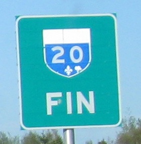
The end of contiguous A-20, at least for now, after passing Rivičre-du-Loup. There's a 65-km gap in A-20 for the time being, although with so many other Autoroute construction projects wrapping up, and A-85 already planned out over the rest of the decade, the completion of A-20 could be in the relatively near future, first out past Trois-Pistoles and then all the way to Rimouski.
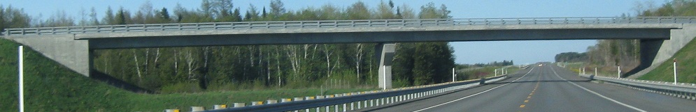
The Rimouski bypass is built as a Super-2 freeway on a four-lane ROW, although the current roadway does plenty of switching between sides. The first photo is at Sortie 610 (QC 232) and the next two are at Sortie 614 on the other side of Rimouski. The last photo is the Route Carrier overpass.
The second and final end of A-20, and likely the permanent one, south of Aéroport Régional de Mont-Joli. (You can figure that one out without knowing French!) The reason this is likely to be permanent is that QC 132 splits just to the north in Ste-Flavie, so traffic from A-20 will divide in half here to head around the Gaspé Peninsula. Now, very far in the future, I could see A-20 ultimately extending along the southern QC 132 leg toward the New Brunswick border, hooking up with the NB 11 expressway toward Bathurst. (And that would then connect with the freeway into Moncton.)
Continue west to Montréal on Autoroute 20
Back to A-20 main page
Sortie 120 to QC 227
Onto A-55
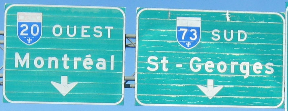
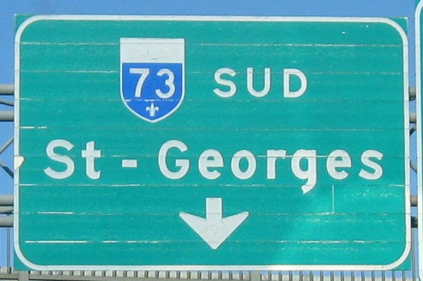
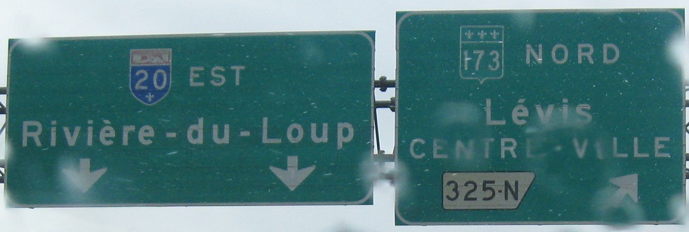
Onto Autoroute 73
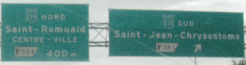
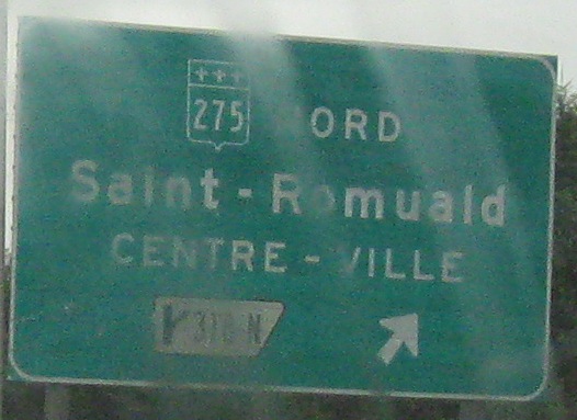
Sortie 318 to QC 275
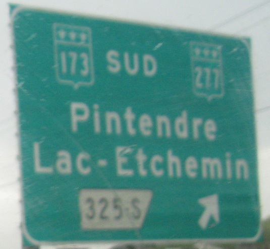
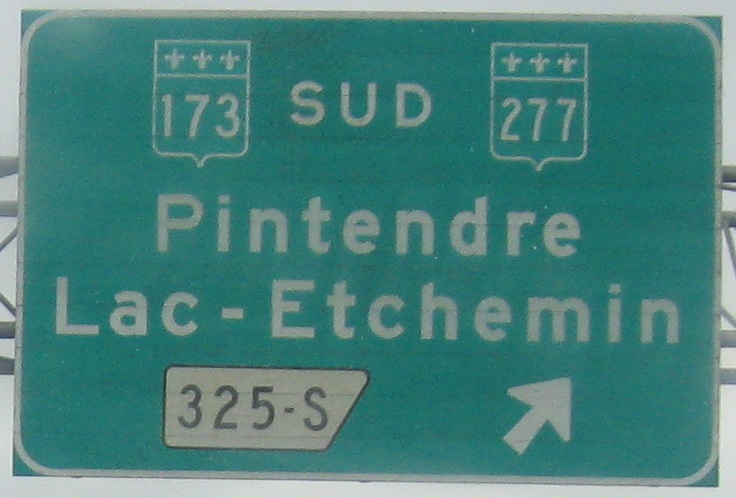
Sortie 325 to QC 173
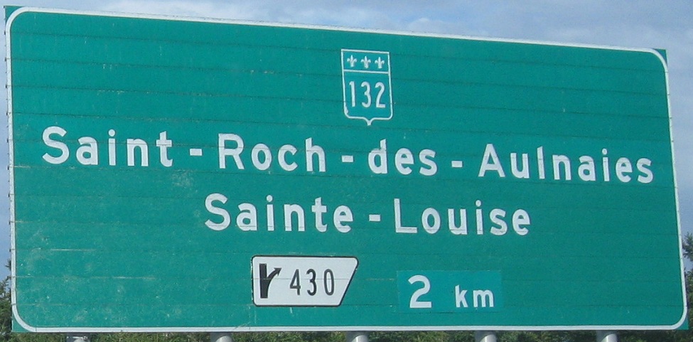
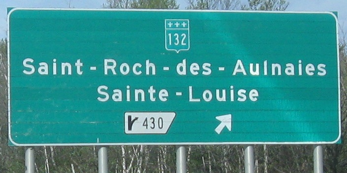
Sortie 430 to QC 132
Back to Québec Roads
Back to Roads