Pennsylvania Roads - US 13 (Philly and N.)/Girard Ave.
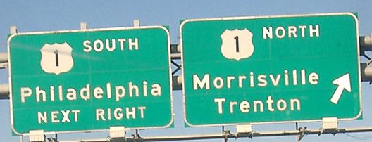
 Philadelphia and north, and US 13/Girard Avenue
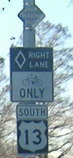
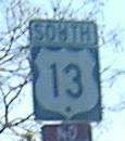
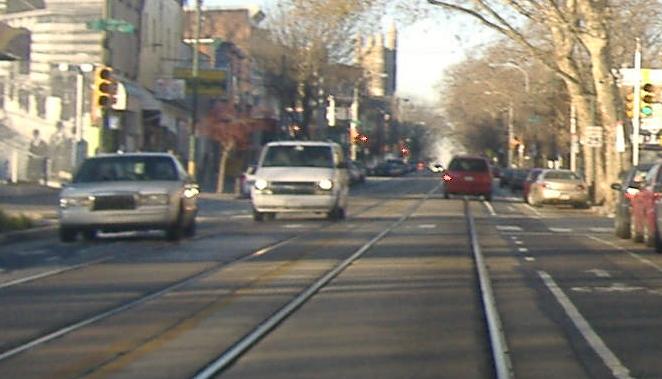
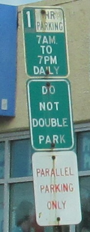
Looking west on Baltimore Ave. and south on US 13, with the trolley tracks on the same spot as the photo atop this page. Where else does a trolley follow a US highway? (Answer: Philadelphia again - on US 30.) There's a very small and old Snow Emergency Route diamond atop the first photo.
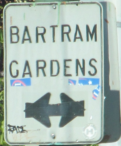
Bartram Gardens seems to be all around me, which is the point in the horror movie where the killer strikes from behind. (Answer: To the left when traveling SB.)
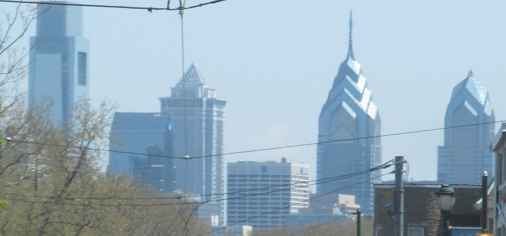
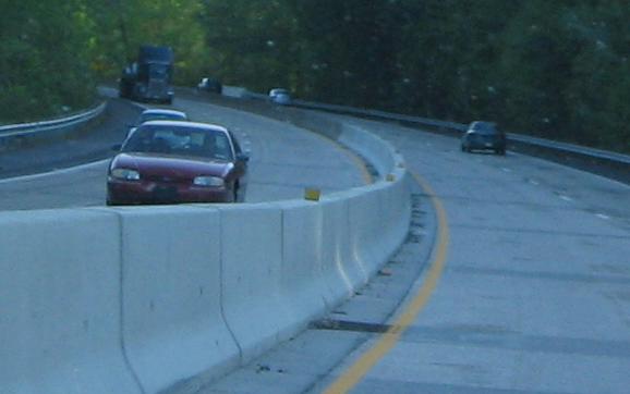
The skyline looking east (NB) from around 48th St.
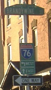
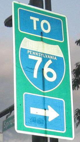
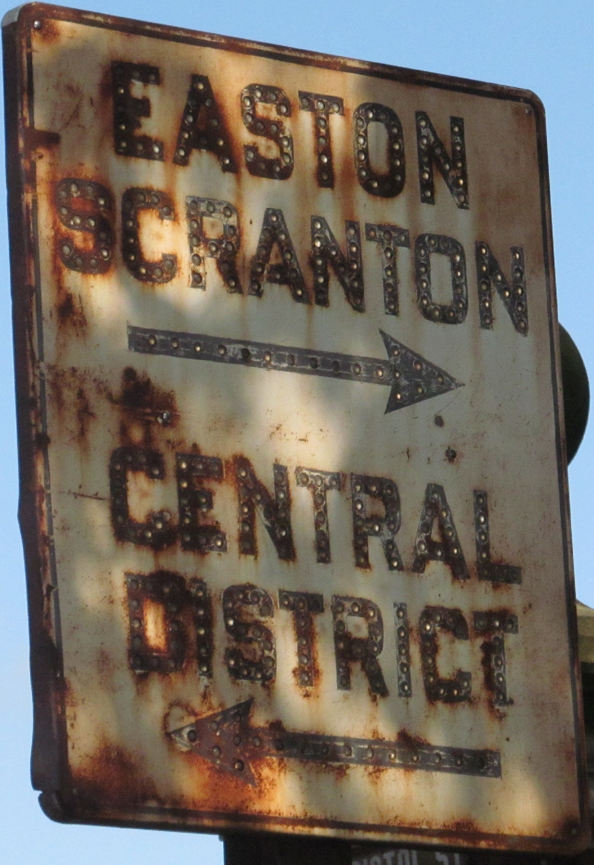
The first sign is SB on US 13/34th St., paired with NB 33rd St., approaching Spring Garden St. The second photo is on Spruce St. EB at US 13/University Ave., the connection to UPenn.
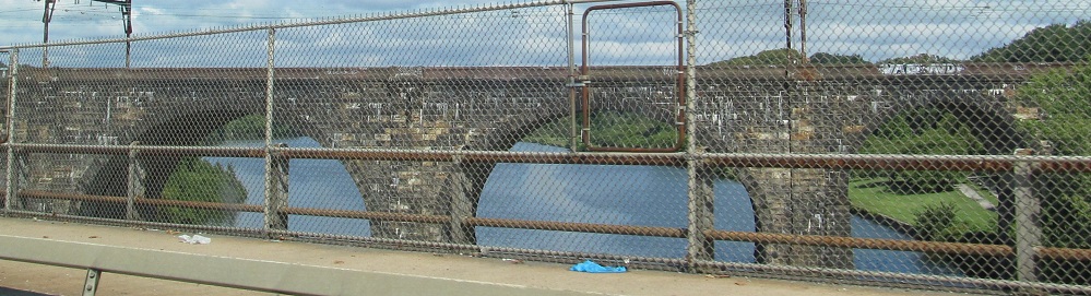
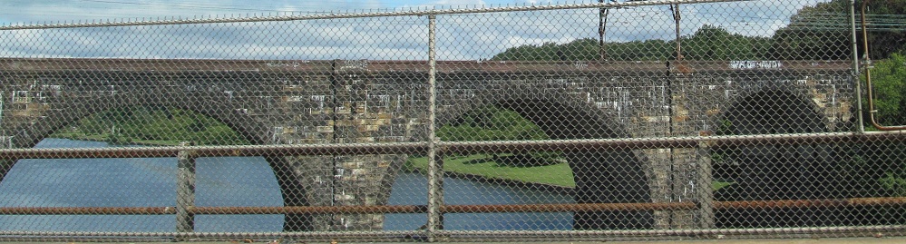
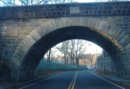
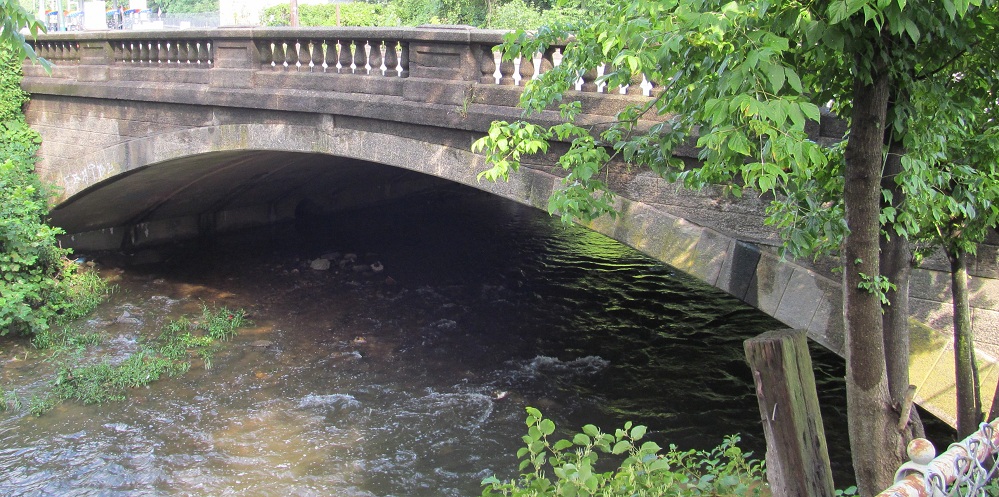
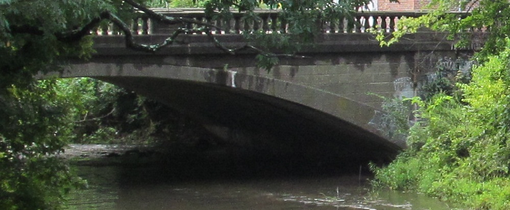
Across the Schuylkill River on Girard Ave., with a nice railroad bridge to the north for company.
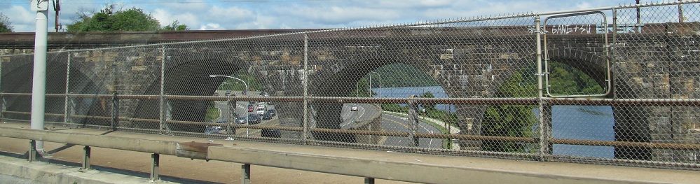
It also crosses the Schuylkill Expressway (I-76) and West River Drive.
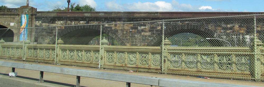
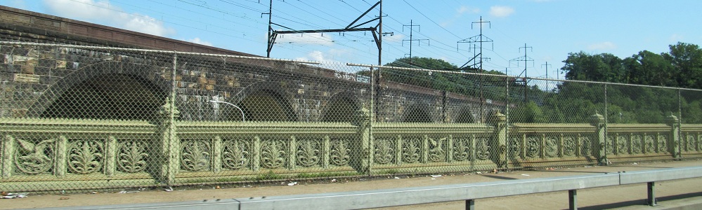
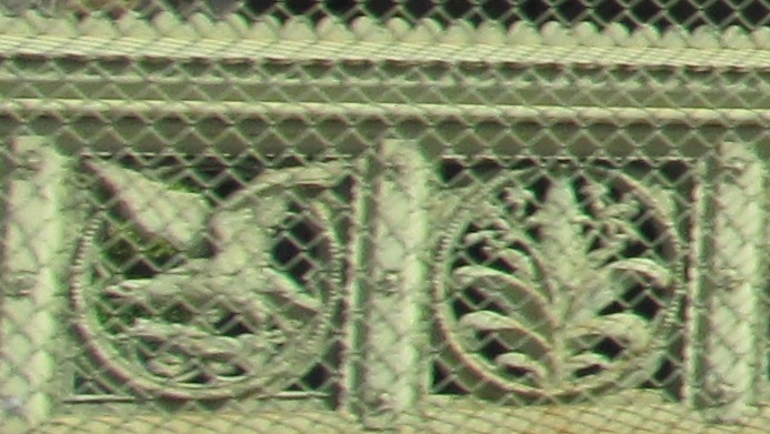
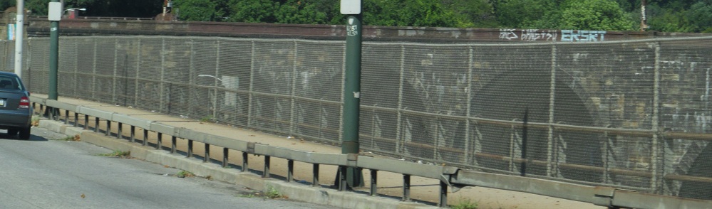
At the western end of the bridge (southerly along US 13), Girard Ave. gets a pretty railing while crossing I-76.
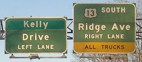
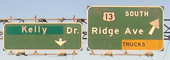
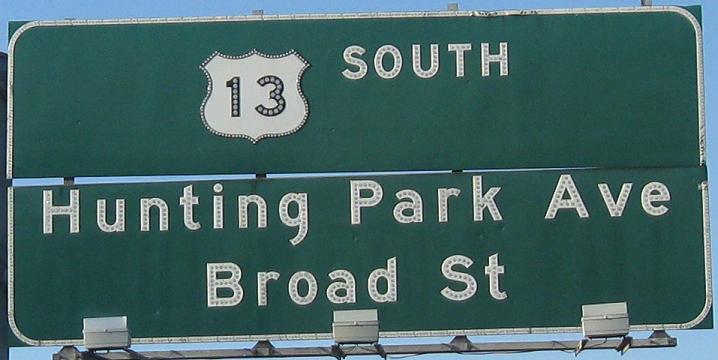
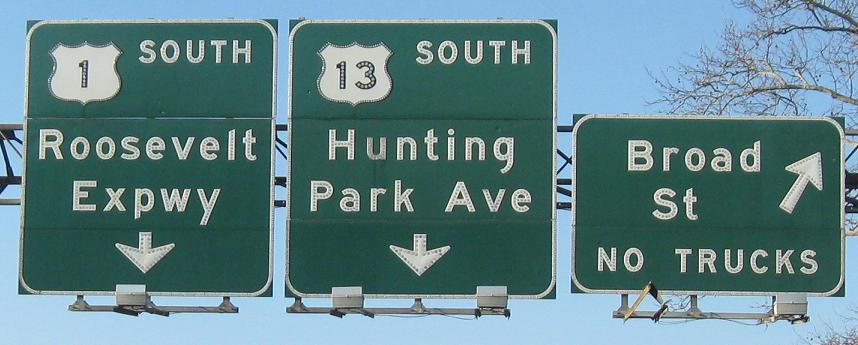
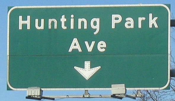
Southbound where US 13 separates from Hunting Park Ave., which continues underneath Ridge Ave. (which becomes US 13 to the south) in the third photo. Kelly Dr. was formerly East River Drive, connecting to Wissahickon Drive which is now Lincoln Drive. Must have been some extra people to honor.
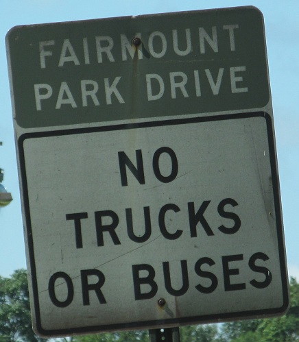
Ridge Ave. SB along Fairmount Park, and looking west just after it in the median of Reservoir Dr.
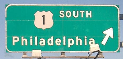
SB leaving the Roosevelt Boulevard multiplex with US 1. For a less angled view of the first photo, see Lou Corsaro's version on the US 1 page, link at bottom. At the southern end, US 13 traffic is directed to the local lanes, which soon drop off, while US 1 traffic is directed to the express (inner) lanes for the beginning of the Roosevelt Expressway freeway. Yes, it would be easy to extend the freeway up the middle of the Expressway, and no, I don't know why it hasn't been done yet.
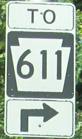
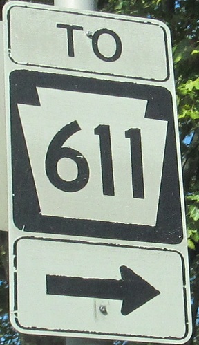
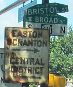
Upon leaving US 1, US 13 SB crosses Old York Rd. and comes to Broad St. But first, avoiding left turns at a major intersection between two formerly critical through routes (US 13 predating I-95, and US 611 predating the Northeast Extension), traffic is directed to use a short piece of Bristol St. to get to Broad. You'll want to turn here regardless of your destination (I continued on US 13 from there via a left and quick right), and it's not because of these Philly-style shields (especially because of the last one).
This is why we are road enthusiasts. This is why we stay up writing captions past 1 AM on a weekday despite having to be at work at 7 AM the next day. For cats' eyes in embossed steel. For enamel street signs baked into brick, even when inadvertently captured. For relics from when cars were toys for the rich. For these things, I give you a white sign closeup upon clicking. You're welcome.
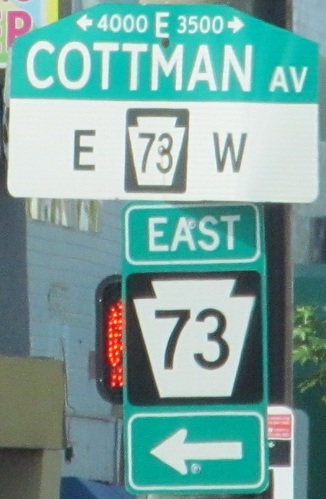
Humorously wrong fonts, SB on Frankford Ave. to where US 13 turns off along Levick St. The first one is exacerbated by the redundancy of having PA 73 in both a street sign and a shield.
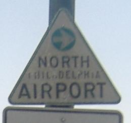
These old airport signs are slowly disappearing, but this one still stands southbound at Grant Ave. The reason these are disappearing is that this is now Northeast, not North, Philadelphia Airport.
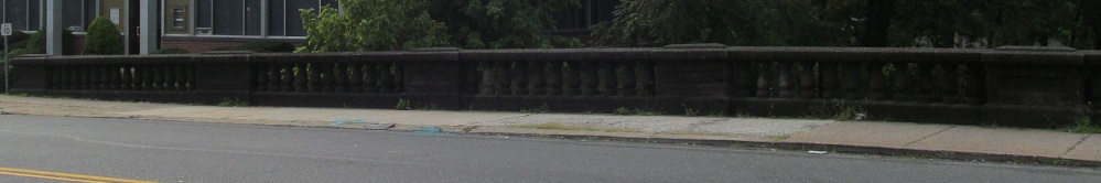
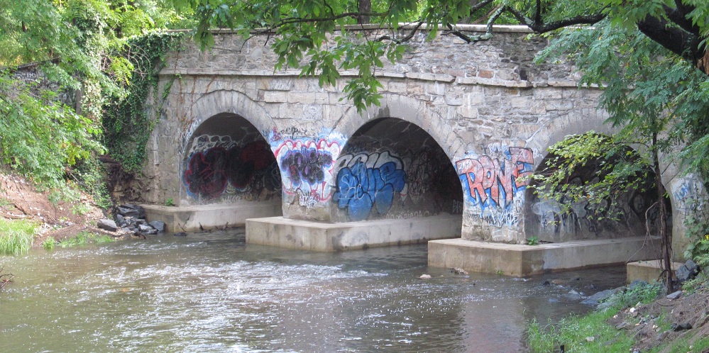
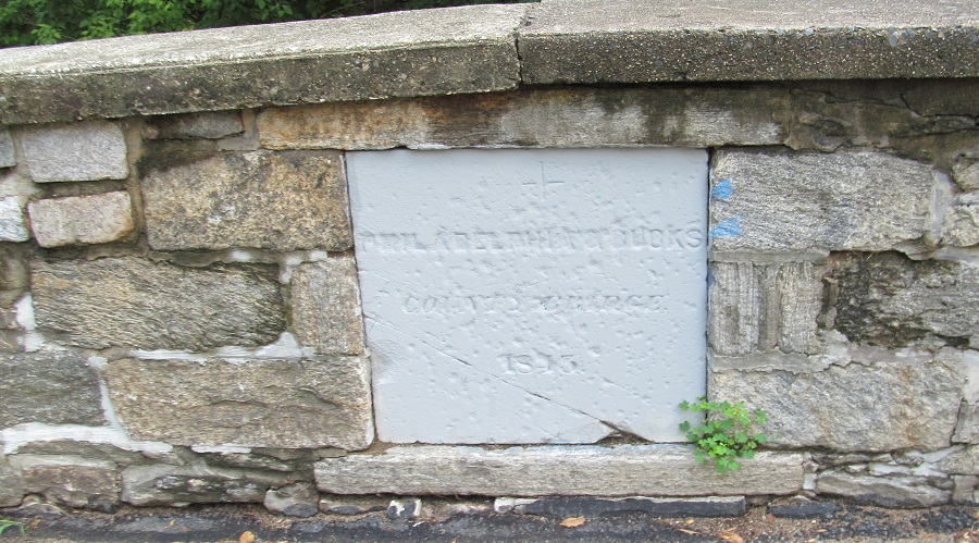
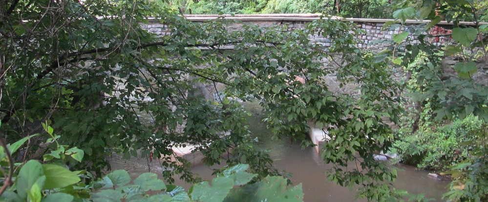
The NB parapet of the old bridge over Poquessing Creek, linking Philadelphia to Bucks County. How old is it? You won't get the answer from this side.
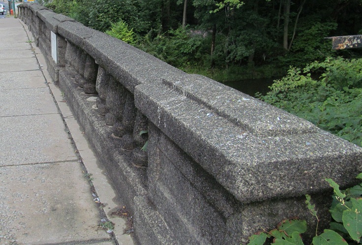
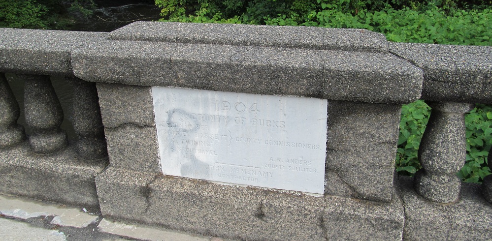
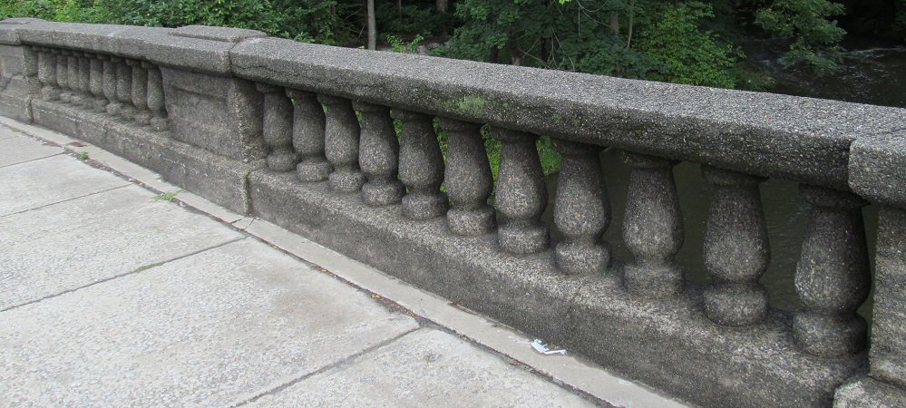
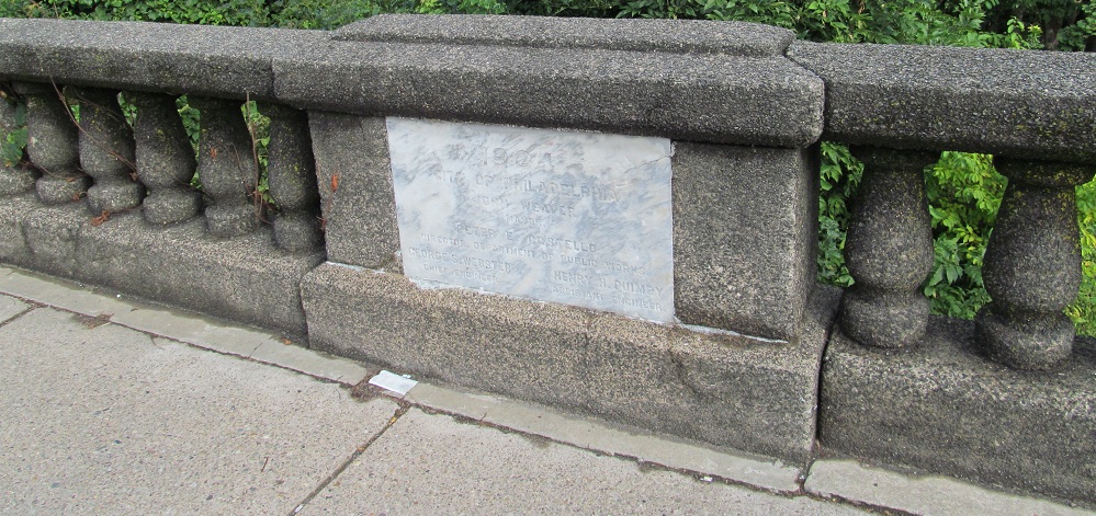
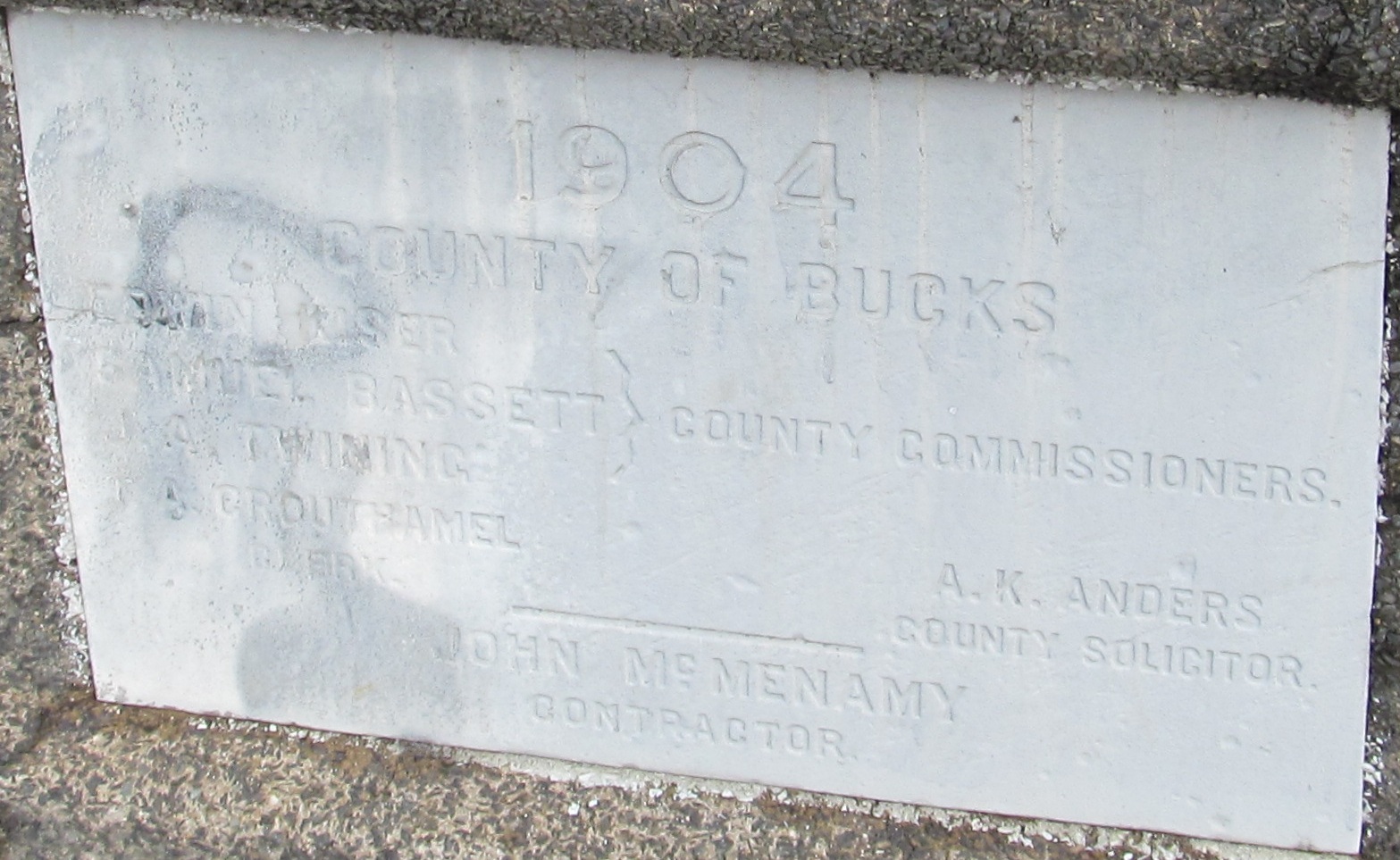
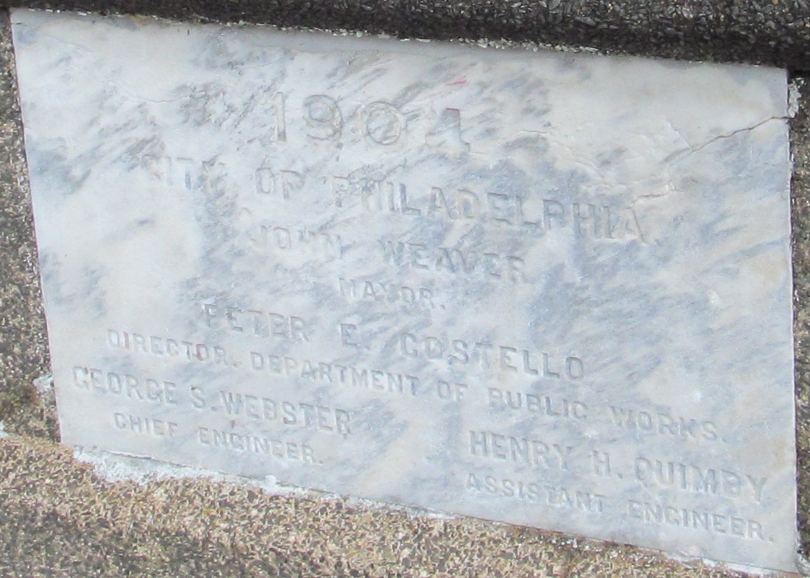
The SB side is where it's at. Bucks County and Philadelphia (County, same as the city) each installed marble plaques on their respective end of the bridge. Click on each of the plaques for a closeup.
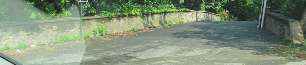
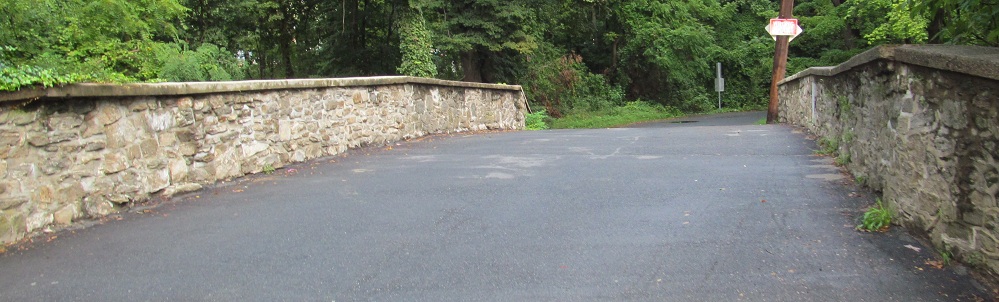
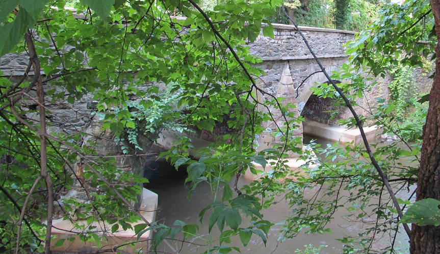
Looking west at the bridge through some trees, then an easier vantage point, looking east from Red Lion Rd., which also crosses Poquessing Creek, with a closeup in the final photo.
So now that you've seen all of the US 13 bridge, have a peek at the Red Lion Road bridge, looking north along the creek from 13. Why, that looks interesting in its own right!
And right you are, it is interesting! It even predates the Civil War! Take THAT, Bristol Pike! (On the other hand, it combines both counties in a single plaque, instead of the delight of having two.)
Just make sure to park and walk this bridge, because Red Lion Rd. is one-way out to 13. That said, if you screw up, at least the officer can't say you should have seen the "wrong way" sign.
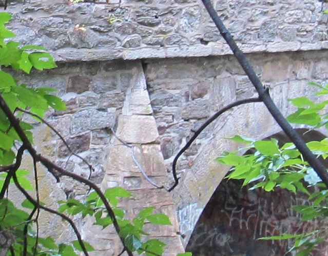
As hard as it was getting through the trees for a shot of the US 13 bridge on the southeast side, it's pretty much impossible to get a good view of the Red Lion Rd. bridge from the northeast. Why would a short one-way road have such a cool bridge? Well, follow the name "Red Lion" and keep going in a straight line from the bridge, and after two subdivisions and an airport, it pops back out and becomes PA 63. So yeah, it actually once was an important road.
Before I leave the old bridges, here are NB and SB embossed signs on the north side of the creek.
NB in Bensalem and SB at Belmont Ave. in Croydon.
The SB ramp to the Pennslyvania Turnpike includes a (sickly) trailblazer to its New Jersey counterpart. No surprise, because it's just a short hop (and a large toll) over the Delaware River to the NJ Turnpike Pennsylvania Extension (or Pearl Harbor Memorial, keeping the "P").
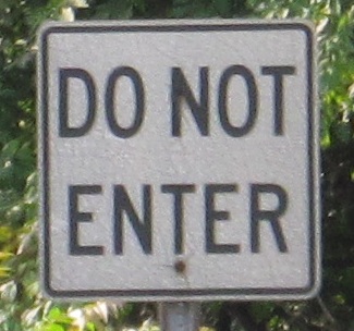
A pair of ancient signs on the east side of the road. The second photo is entering Levittown-Tullytown Station parking, and the first is Do Not Entering the NB jughandle to the shopping center just to the south.
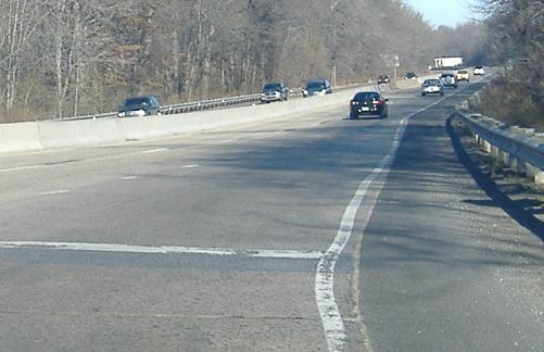
Original concrete on the 1950's era freeway north of Philadelphia, first photo courtesy Scott Colbert and second photo heading north from the Tyburn Rd. WB onramp.
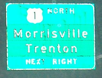
South on Pine Grove Road in Morrisville, into the beginning of US 13. I traveled southbound that morning, which is why the photos have been getting darker as you read down the page.
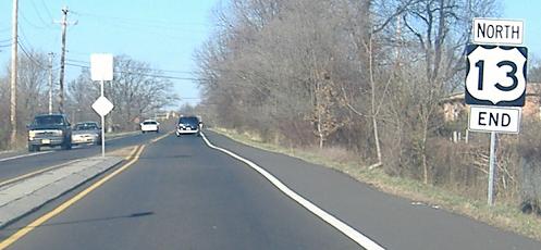
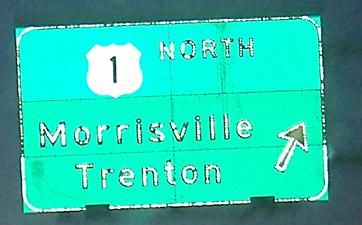
The very end of US 13. That's right, after multiplexing with US 1, US 13 comes back to end there. The strangely bold end sign is posted on Pine Grove Rd. at the end of all the ramps and pavement associated with the 1/13 interchange, but 13 officially ends right at 1.
Onto Roosevelt Blvd., US 1 and US 13/1
Onto Girard Ave. alone
Continue south on US 13
Former US 13
Back to US 13 main page
To I-76
Onto Kelly Drive to the Gustine Lake interchange
Onto Ridge Ave., old US 422
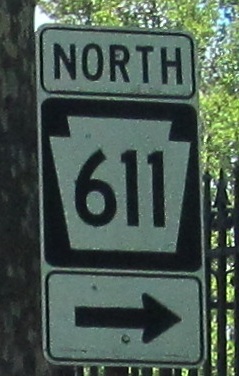
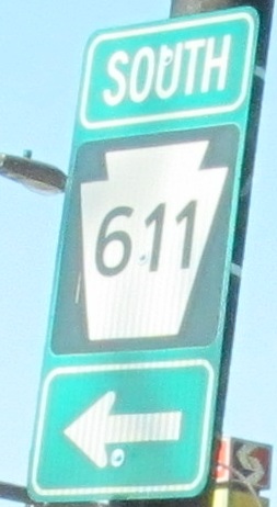
Onto PA 611
Onto PA 73
See more of Philadelphia
To the NJ Turnpike, I-95
Onto the US 1 freeway
Back to Pennsylvania Roads
Back to Roads