Pennsylvania Roads - I-76 - Abandoned Tpk. EB 3
Abandoned Pennsylvania Tpk. (I-76), Breezewood
Eastbound page 3
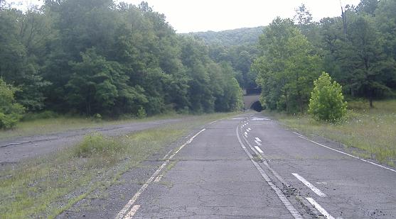
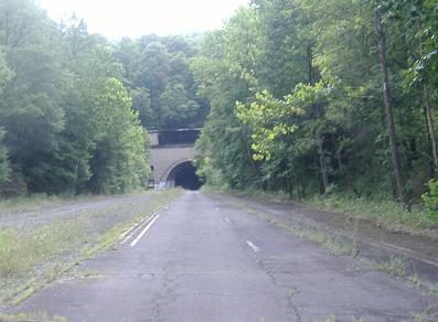
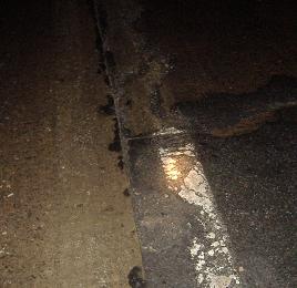
Continuing the striping test from the second page, which in the first photo goes right over the original double-white tunnel approach striping. In the second photo, you can see the shoulder stripe slowly converging from the right.
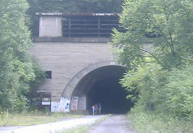
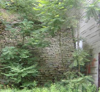
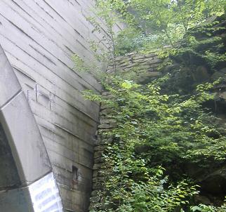
As I approached the entrance to the Sideling Hill Tunnel, I found another group of interested tourists. I dutifully snapped my shots of exposed reinforcement steel along the tunnel face (most likely from water dripping down and eroding the concrete), and then the manmade stone walls on the westbound and eastbound sides, respectively. Note how the eastbound side's wall segues into a natural rock face.
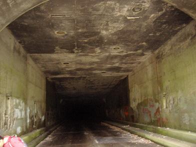
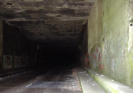
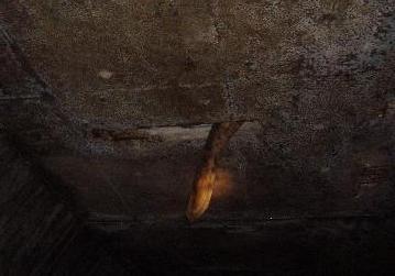
Into the tunnel, with holes overhead where recessed lights once hung, and rectangular openings for ventilation. I was able to explore more of this tunnel, as linked at the bottom of this page, and by following that link (it begins with "Into") you can see the tops of the round and rectangular holes. Continuing into the tunnel, I give you a flash- and flashlight-lit center stripe photo, and then a mysterious spaceworm trying to kill you. I guess the rectangular holes are space portals to Saturn (catch the '80's movie reference?). No, really, please tell me what this is, and it better not be a dead body. Or an undead body.
Emerging from the second tunnel, with a photo of the rounded median curb that was not present at the Ray's Hill Tunnel. Somehow, it was preserved better here (and at the western portal - switch to the westbound lanes via the link at bottom to see it), and you can watch it widen into a grassy reservation.
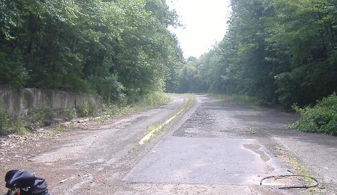
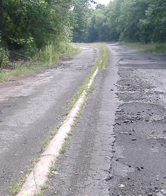
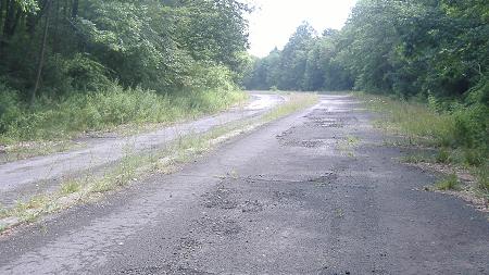
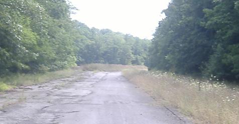
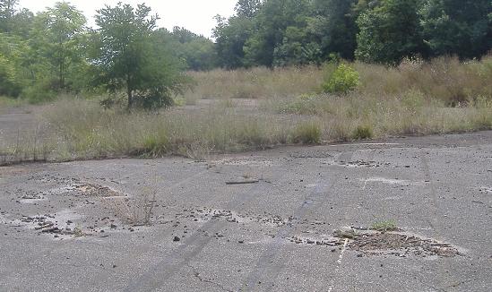
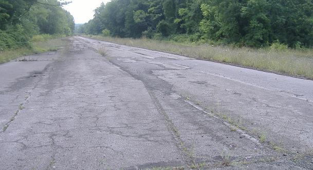
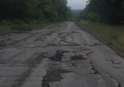
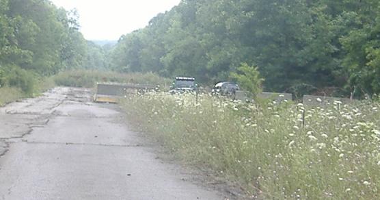
Slowly making my way east toward the end of the Pike2Bike trail. These patches were applied toward the end of the life of this part of the Turnpike, and have held up horribly.
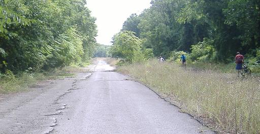
Up to the westbound rest area. There is one perfectly good lane on my side, and none on the eastbound side, so I don't know what those bikers are doing there.
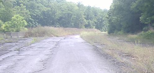
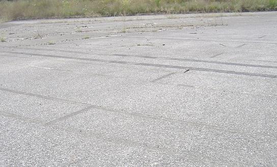
Into the rest area, looking east (the wrong way) and west at the original truck parking stripes. You can see traces of even earlier stripes among them.
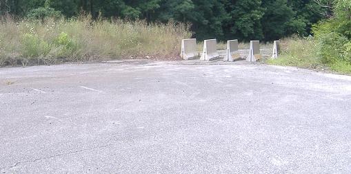
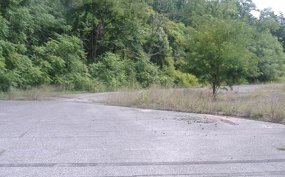
Looking west toward the westbound on-ramp, curiously barricaded (just like the other end, as you'll soon see). Both ends of the Turnpike are gated, so there's no reason at all to do this. All I can think of is that this area was closed before the rest of the Turnpike, and the Turnpike Commission left the barriers there when traffic went away. I have to say though, those barriers are in awful good shape if they've been left there thirty years.
Through the parking area, and back the wrong way into the westbound lanes.
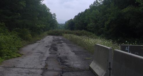
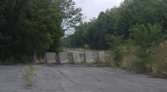
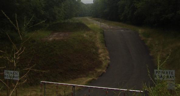
Just after the rest area, here's the parking area at the other end of the trail, surrounded by more Jersey barriers to keep motorized traffic off the ex-freeway. On the other side of the grass mound is a drop to Pumping Station Road, which used to have an overpass that was removed to prevent continuity of the bike trail with Turnpike property (property that leads back to the Turnpike itself, and is long enough at 1-2 miles to still allow striping tests).
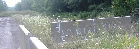
That's Pike2Bike, not Bike Pike.
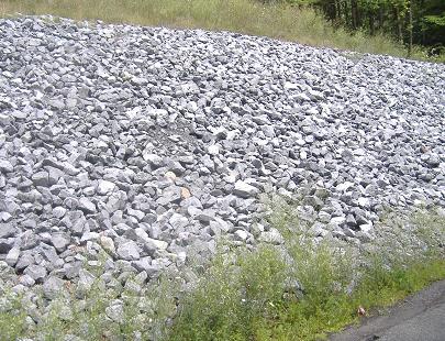
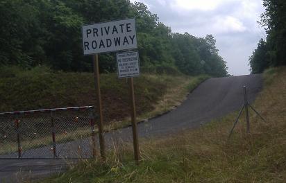
Just like at US 30, one of the two embankments is covered in gravel. I didn't attempt to climb down this one, though, opting for the road out from the parking area you saw above and taking a quick jaunt north on Pumping Station. Unlike the western section of abandoned Turnpike, which I really didn't know was Turnpike-owned, this side really leaves no plausible deniability.
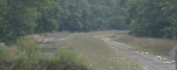
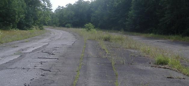
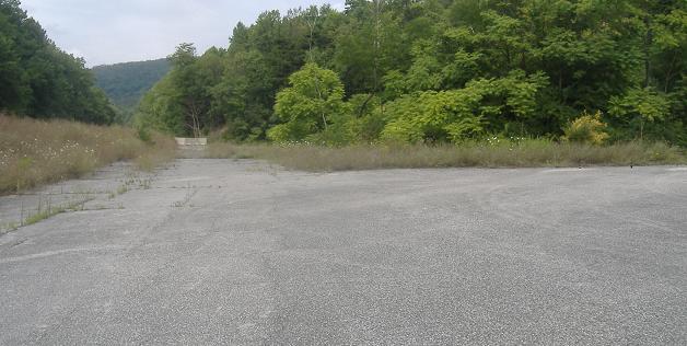
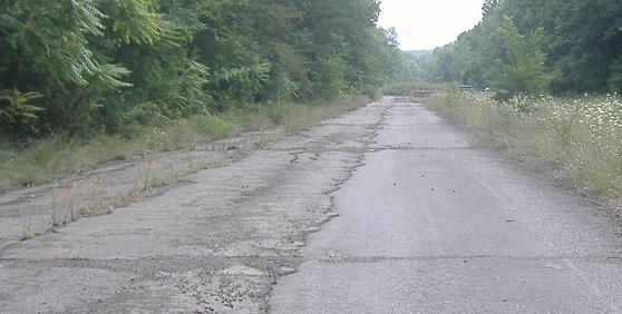
Still, that doesn't mean I can't go to the very end of the Pike2Bike side of the embankment and look across at the old lanes there, and then use my zoom to get all the way to the next curve. As I said above, the eastbound lanes here are very actively used for striping tests. The westbound lanes look to have gotten some use as well, but aren't maintained in as nearly a good condition.
Switch to heading westward
Back up facing eastward
Into the Sideling Hill Tunnel
Back to Abandoned Turnpike main page
Back to I-76 main page
Back to PA Roads
Back to Roads