Pennsylvania Roads - I-76 - Abandoned Tpk. EB 2
Abandoned Pennsylvania Tpk. (I-76), Breezewood
Eastbound page 2
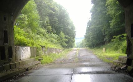
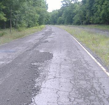
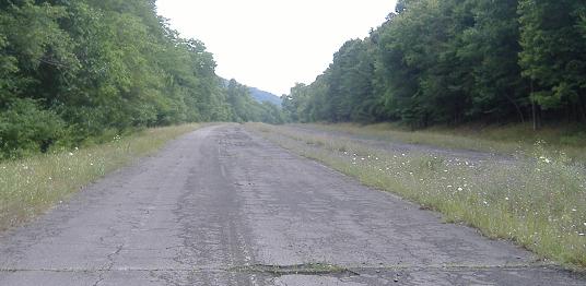
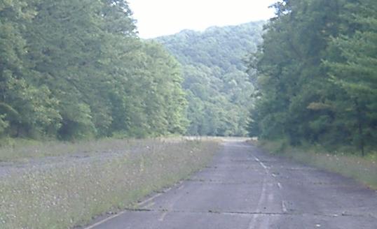
Emerging from the Ray's Hill Tunnel, and slowly widening from two undivided lanes into four divided lanes. You can see the original concrete pavement of the tunnel approach underlying the asphalt; as more and more time passes, the asphalt of the entire abandoned Turnpike will gradually be broken apart, and more of the original pavement will show through. The fact that it's already appearing here tells you how much traffic wore on the approach - the rigors of combining two lanes of traffic with a lot of slow trucks will do that.
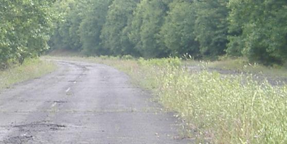
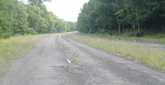
Some closeups of the westbound lanes into the tunnel, first showing the shoulder stripe next to some of the deteriorating pavement, then the double-white stripe that preceded all of the Turnpike's lane merges (stay in lane for the alternate merge, a lot more orderly than New Jersey's "good luck" approach), and then the single-white lane stripes still very much apparent from the days of traffic.
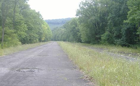

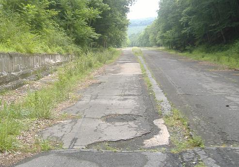
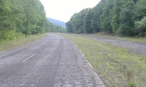
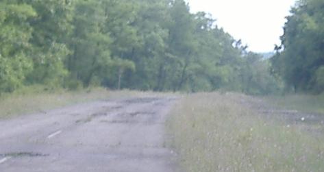
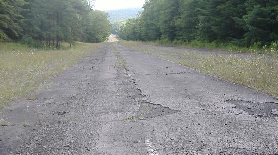
All the way down the steepest hill on the abandoned Turnpike in the westbound lanes, because as bad as they may sometimes look in the first eight photos, the eastbound side as seen in the last two photos is clearly very much worse.
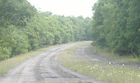
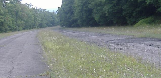
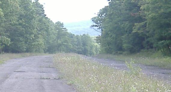
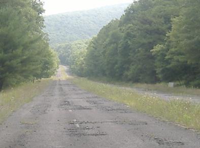
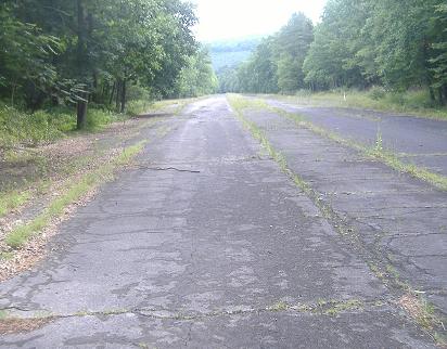
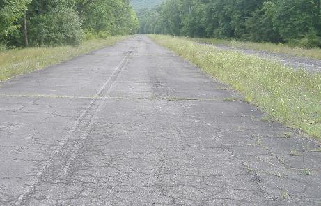
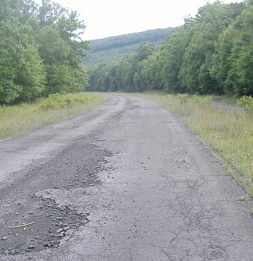
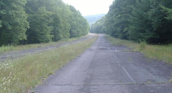
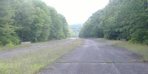
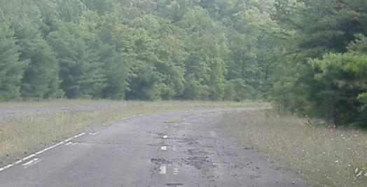
Around the curve, and now the hills are going both up and down in a rather more gentle fashion. I-76 was in a demi-valley here, but very much above sea level as it traverses the ground between two tunnels.
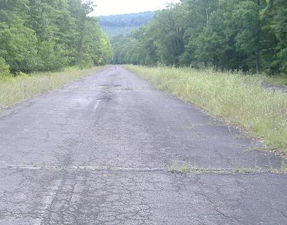
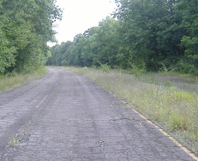
As you saw in the last photo of the previous run and as you see in the second photo of this one, all of a sudden the westbound lanes, which I had been following so faithfully for the first 55 photos, have become the worse ones, and so I switch to the eastbound lanes, which have recovered sufficiently from their state of disrepair further west that they now have old lane stripes themselves.
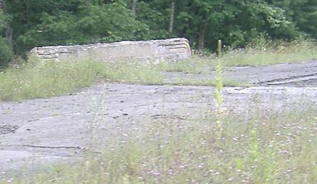
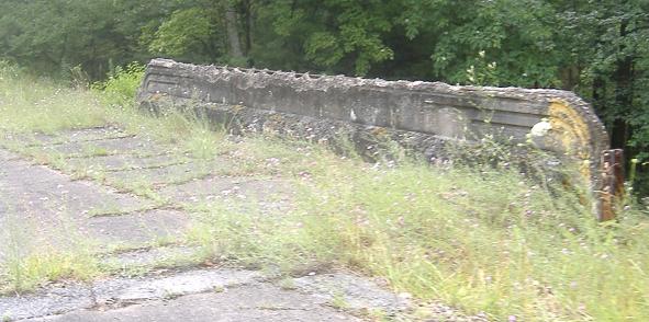
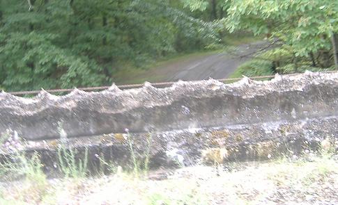
The Oregon Road underpass looks quite a bit worse than the Mountain Chapel Road underpass from the first eastbound page. As you can see from the westbound (first photo) and eastbound (second photo) railings, the concrete has been chipped off, possibly from accidents or just maybe from general age, and the rebar (reinforcement steel bar grid around which concrete is poured; the steel gives concrete tensile strength) shows through. Oregon Road is seen looking south in the third photo.
\
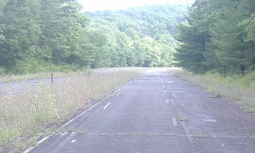
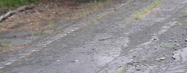
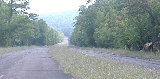
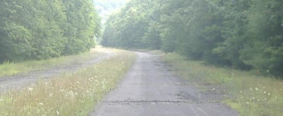
There are a few too many stripes here for their own good, so apparently there was a striping test conducted on this isolated section of abandoned Turnpike sometime not too long after it closed (judging by the degree of fade of the stripes). I don't know why the machines would have come all the way out here, between the two dark tunnels, rather than use one of the more easily accessed stretches of roadway on either side. In theory, this could be a remnant of construction during the last days of this part of the Turnpike, possibly having both directions of traffic on one side of the Sideling Hill Tunnel approach and then the other, and then finally having stripes once more for a few weeks until the new Turnpike opened. I doubt it, but again, I also doubt this is the right place for a striping test.
Continue eastward
Switch to heading westward
Back up facing eastward
Back to Abandoned Turnpike main page
Back to I-76 main page
Back to PA Roads
Back to Roads