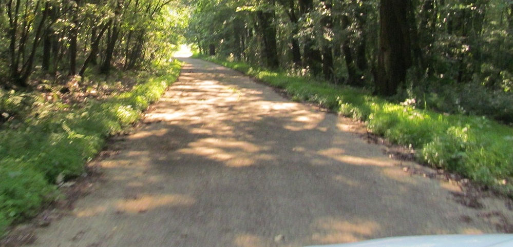
Pennsylvania Roads - Old US 22 - E. of Armagh
Old US 22 east of Armagh
Gas Center Rd. EB becomes Ropers View Rd. after crossing US 22, but you can't get there from here.
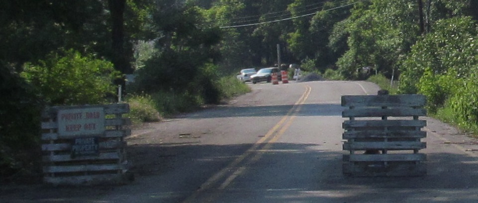
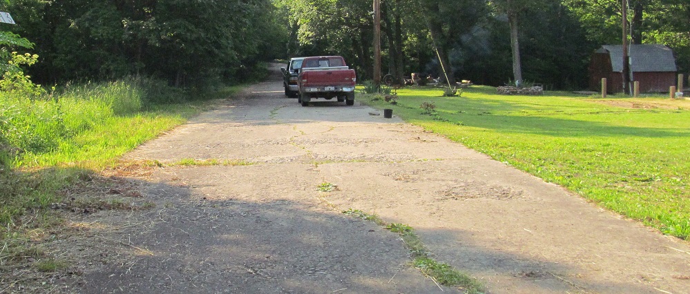
County Line Road is a regular street that the residents have decided no one can follow. I'm not sure if that's legal.
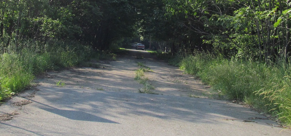
Olympian Way WB in Vintondale turns into a sidewalk road that the residents don't think anyone would want to follow. I think you would.
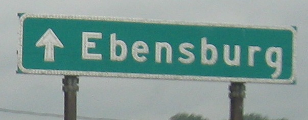
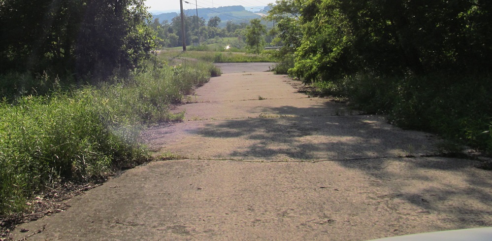
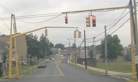
WB past the US 22 interchange on the east side of Ebensburg where US 422 briefly re-began (taking into account the disconnected "other" US 422 on the east side of the state).
EB, same spot.
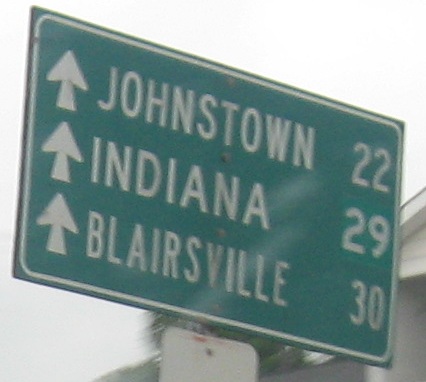
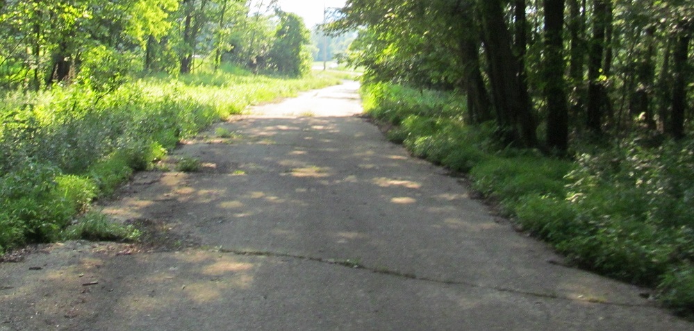
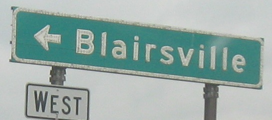
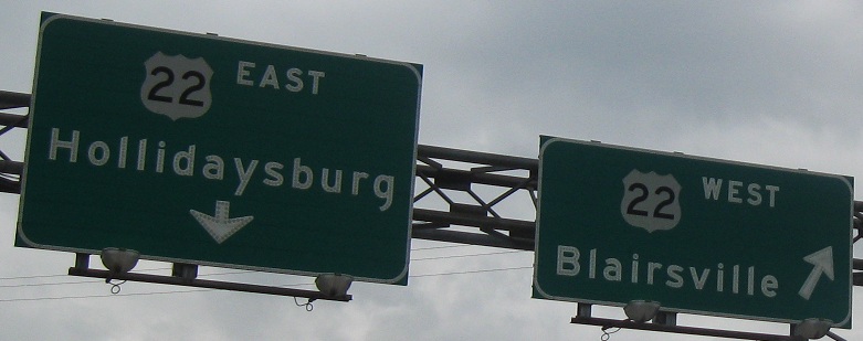
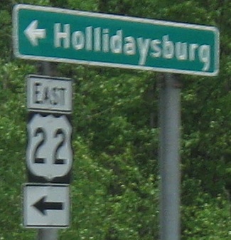
WB leaving Ebensburg, with distances for three different routes - US 219 (via the freeway, since the old road through town never multiplexed), US 422, and US 22. Originally, 422 forked from US 22 on the west side of town. However, after the 22 bypass was constructed, all of old 22 in Ebensburg (starting at the interchange you'll see below) became part of an extended US 422. At some point, trying to get traffic out of town, PennDOT rerouted US 422 onto 219 to connect to 22, and dropped this back to an unsigned secondary route.
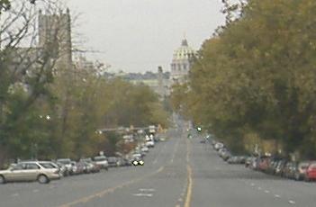
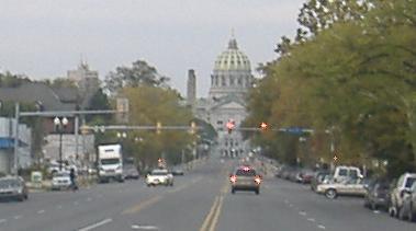
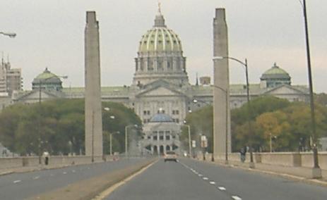
State St. WB heading straight for the Capitol in Harrisburg.
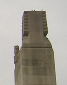
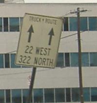
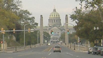
On top of one of the two tall concrete pillars of the State St. bridge is the year 1776, which obviously is not when the bridge was built. Across that bridge, the State St. alignment and old US 22 curve around the Capitol on 7th St. The truck route may be an indication of the original route of US 22, but I believe it followed Forster St. to Front St. and continued north along the east shore of the Susquehanna.
Walnut St. EB leaving Harrisburg, and the last photo from this section of Old 22 (because US 22 is about to join its original alignment for a little while).
Jonestown Rd. WB at the end of the next Old 22 alignment, a long one that lasts all the way out to PA 343 and crosses US 22 three times along the way. All traffic turns onto Johnson St. to get to US 22 because, as you can see, the road has been stubbed.
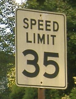
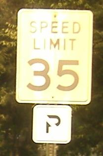
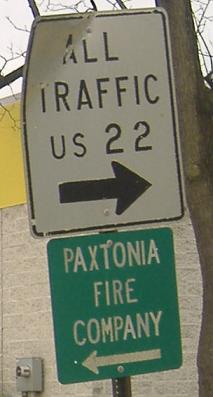
The signs of Jonestown, all westbound. The speed limit font is old or just wrong, even when adorned by the tiny No Parking sign.
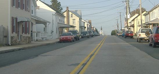
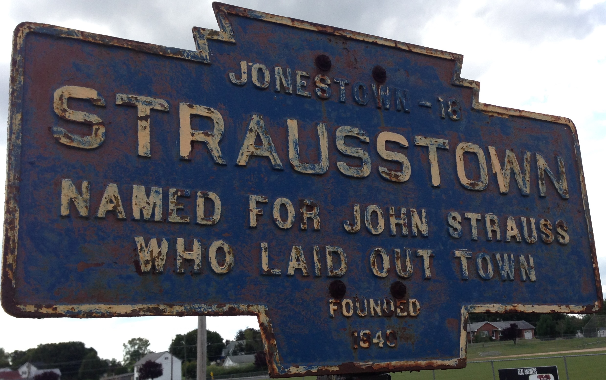
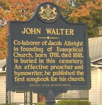
The original concrete highway through downtown Jonestown.
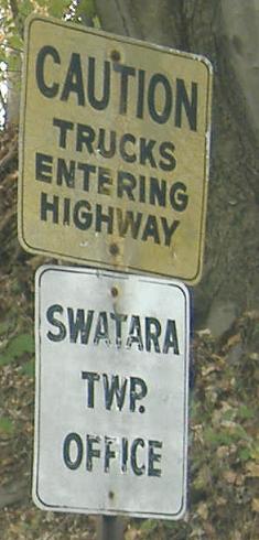
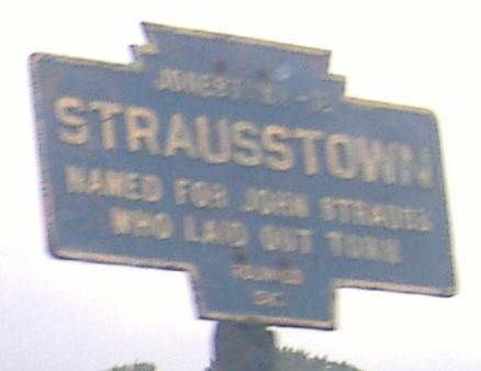
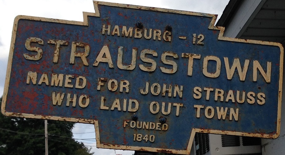
Jonestown is within Swatara Township, which also includes Fredericksburg to the east (where this old alignment comes to an end).
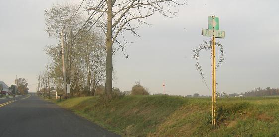
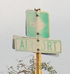
The last photo(s) from the Jonestown Road alignment of Old 22, here known as Airport Road. Yes, the airport is to the right, but road signs are supposed to be followable by traffic, and this is clearly just pointing out to the runway. Do not turn right here.
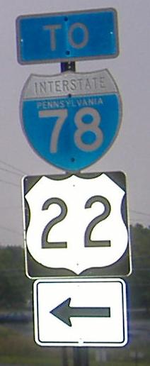
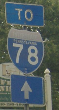
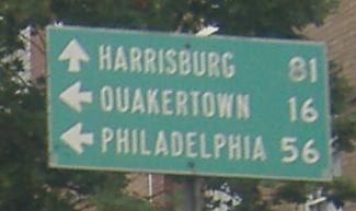
WB and two EB photos, now on the part of Old 22 paralleling the I-78/US 22 duplex. Jonestown is on Old 22 (as you just saw), and obviously that first sign was made before I-78 took 22 off of this road. The second sign is courtesy Lou Corsaro, and click on the first one for a closeup from Lou.
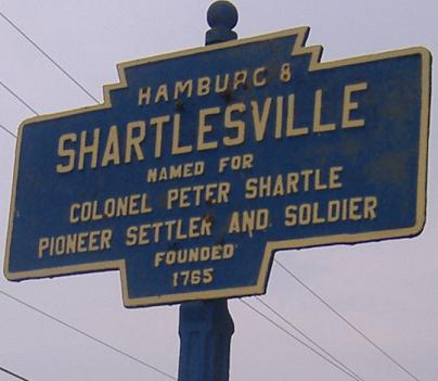
This is on the right side of the same photo as the Shartlesville sign, pointing along Mountain Rd.
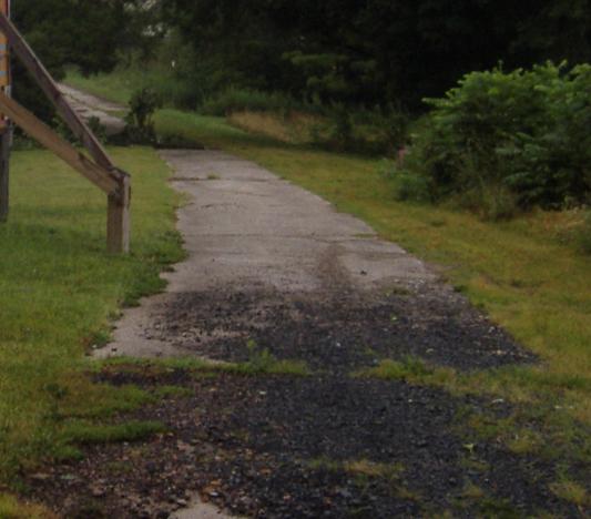
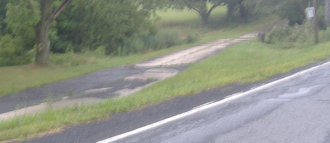
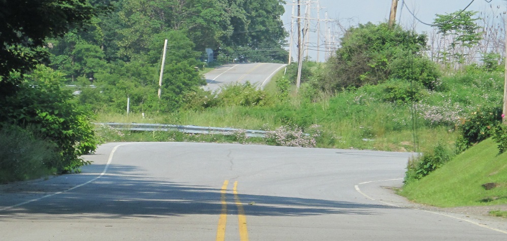
EB at the west end, and WB at the east end, of the original concrete two lane that passes to the right of the previous two photos at Mountain Rd. The elevation is a few feet lower along the old road, so I guess that when Mountain Road was built, this piece of US 22 had to be adjusted to intersect it.
Facing west under PA 61, or rather, the current alignment of PA 61. When old 22 was US 22, PA 61 was a surface road in Hamburg (4th St.).
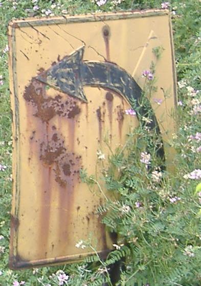
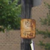
This sign probably is original to when this became US 22. The fact that the spur was yellowed out proves that at least into the 1950's, someone knew where this sign was, because only then would the side road have been removed for the US 22 freeway (now I-78/US 22). I get the feeling, though, that no one knows where this is anymore, and I even barely saw it as I went whizzing by at 55 MPH.
EB at PA 100, and if you couldn't tell by it being black and white, this photo dates to the 1970's (1979 to be exact). Courtesy Michael Summa.
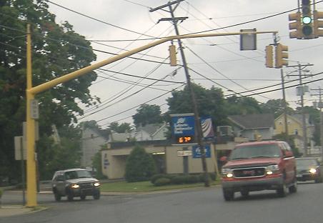
On the left and right sides of old 22 eastbound, and then a little further down by the US 22 overpass. The arrow for I-78 should not be bent so sharply - in fact, it's a remnant of when I-78 was on the US 22 freeway (until NJ completely gave up on completing its side of the freeway), and it should be pointing straight along old 22 to take traffic onto PA 309 SB.
WB in the same area. Admittedly, the To I-78 sign with wicked old shield (New England left its mark on me) is far enough west of the interchange not to confuse motorists, but there really should be an EAST in there (via PA 100).
WB at 7th St. in Allentown, PA 145 SB. PA 145 NB is on 6th St., four blocks behind me (the numbered streets are the major ones, but not the only ones). This LGS is non-reflective and has arrows from the 1960's.
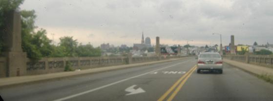
Crossing west over the Lehigh River into Allentown on Tilghman St.
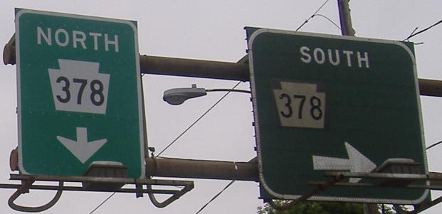
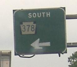
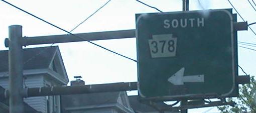
EB and WB on Union Boulevard. If you haven't guessed, Tilghman and Union are both part of Old 22. The space on the BGS's is probably from when there would have been two shields - I-378 and PA 191. It's because 378 was demoted from Interstate (once I-78 moved to its current alignment and orphaned this child) that these shields were pasted on with black backgrounds, as opposed to cutout original equipment on any other sign (such as the new one in the first photo). PA 378 was more recently extended along PA 191 back to PA 309, and 191 was truncated back to US 22. Click on the first photo to make the left BGS as old as the right one, thanks to Doug Kerr.
Courtesy Scott Colbert, I think this continues from the EB and WB signs above, and thus this is most likely on 3rd Ave SB at the actual on-ramp.
Main St. SB at Union Blvd. in Bethlehem, where old US 22 WB turns. That rusty white sign definitely dates to when this was US 22, and may have been PennDOT's original form of mile marker. I have linked the main page to Jeff Kitsko's US 22 page because he gives an excellent history of where the highway has gone east of Harrisburg. Tilghman-Union-Main-Elizabeth-Easton is the most modern routing before it moved to the freeway.
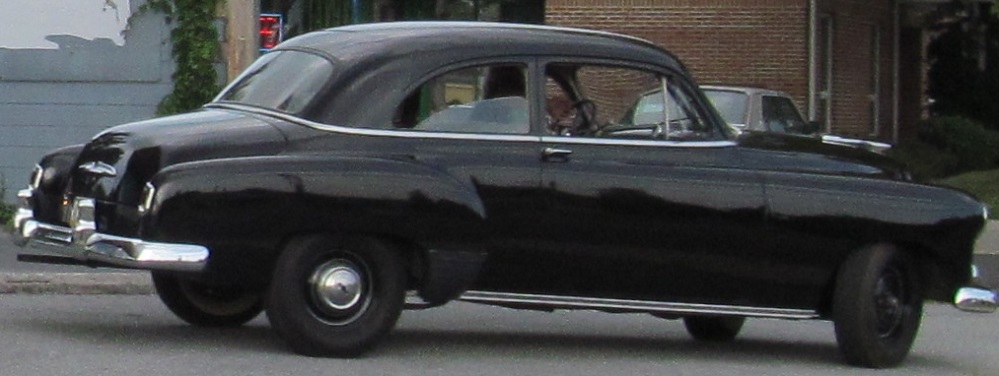
Union Blvd. WB past 3rd Ave. in Bethlehem and then an early 1950s Chevy Styleline is parked by Wall St.
Butler St. WB leaving Easton, before becoming the William Penn Highway (the name for all of US 22, except where it applies to the old highway, as here). The signal heads are new, but the poles are very old.
Old street sign on the only way to follow old 22 WB through Easton. Butler St. is now one-way EB here, forcing Washington St. to become the one-way pair of a route that's not here anymore.
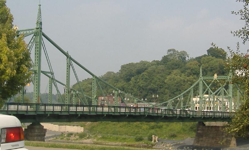
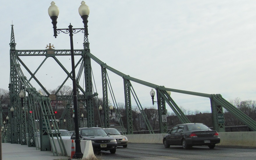
The free bridge from NJ (into NJ is free on any bridge), and the end of old US 22 in Pennsylvania, taken from PA 611.
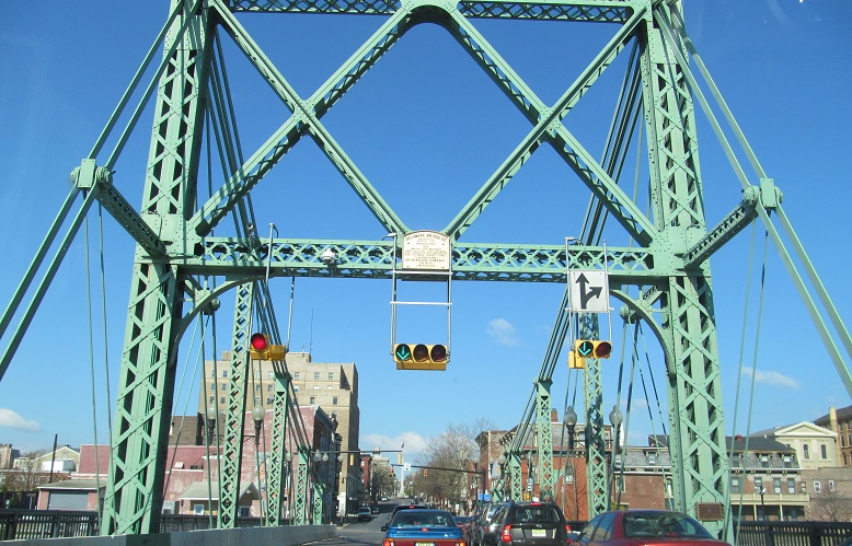
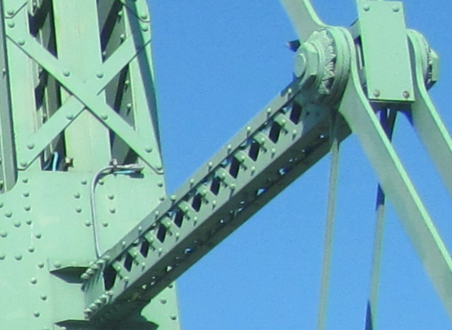
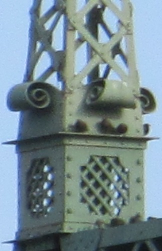
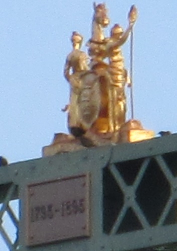
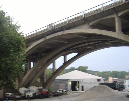
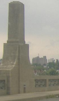
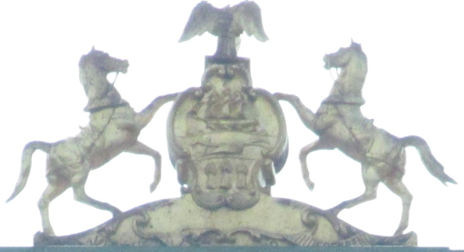
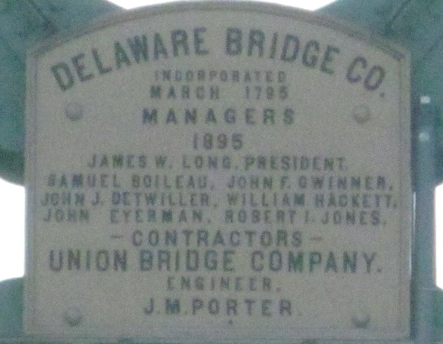
Heading west on the bridge and various architectural details. I don't know what the plaque on the side facing outward is, but I'm intrigued to find out.
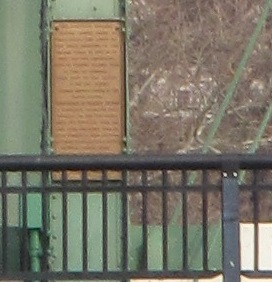
Westbound under the western pier of the bridge, whose plaque and ornament are the same as on the eastern pier.
Back west on old US 22
I-78 (with US 22)
Modern US 22
Back to Old US 22 main page
To US 322
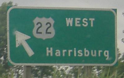
Up onto PA 61
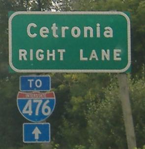
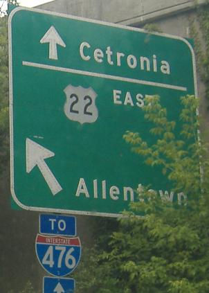
To I-476
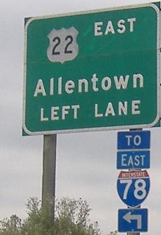
Into Allentown
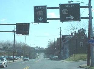
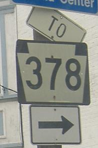
Onto PA 378
Back to Pennsylvania Roads
Back to Roads