Pennsylvania Roads - Centralia - Into town
Around Centralia
Pennsylvania has done a good job of relocating Centralia residents and removing their houses. All the driveways and all the yards have nary a plank of wood from the original town. However, just like with highway projects, not everyone is willing to pick up no matter what the price, and since it's not like fires are erupting all over town, Pennsylvania hasn't forced the hand of the few, proud remaining Centralians. There are no amenities left in town except for a 1960's-era municipal building (why fix it up if no one's left?), so anyone from Centralia who wants to do anything must go to Mt. Carmel or Ashland. Due to the number of photos, I have separated this into two pages, taken chronologically on a short loop through the town. This page picks up where the Park St. page (linked at bottom) leaves off.
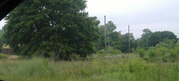
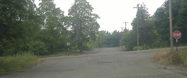
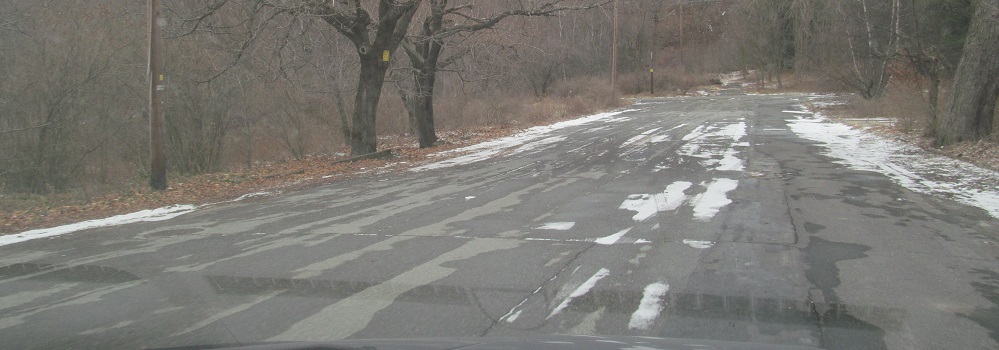
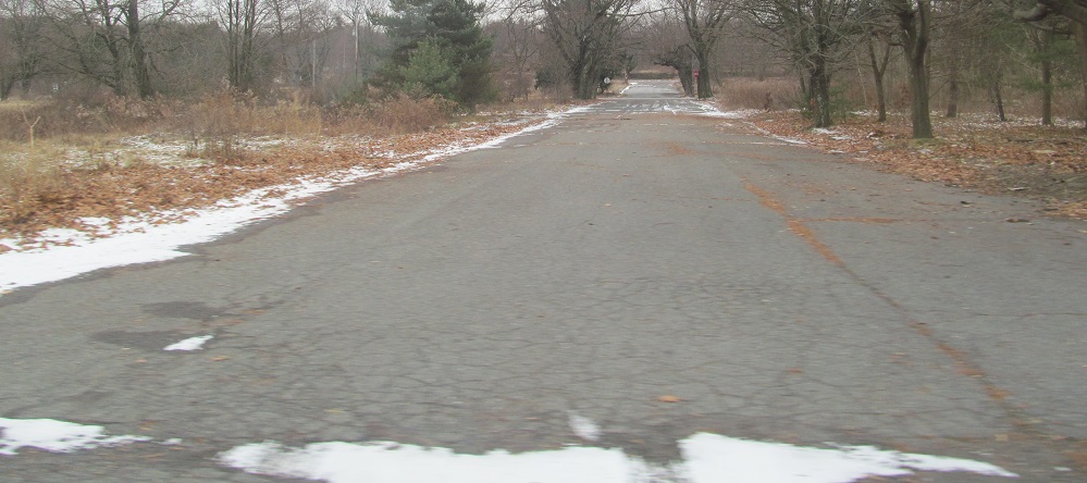
Taking a look around from the divided street on the east side of Centralia. It has no name, but that's okay, because no one lives on it anymore. At least it still has a stop sign (at Big Mine Run Road, PA SR 4029).
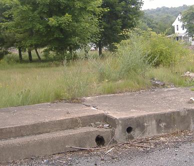
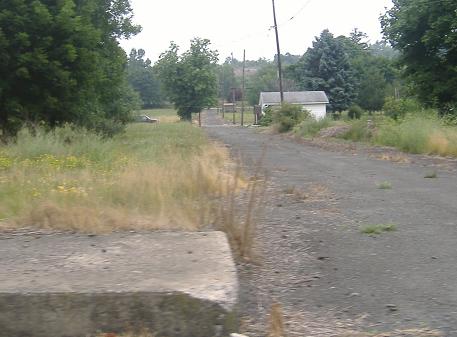
Coming to the end of the street (which I drove northbound in the SB lane, so what are you gonna do about it?), looking at the west side where there are still steps up to someone's sidewalk, but nowhere to go from there, and then another side street with at least one house on it. The car is parked there, proving someone still lives in the town.
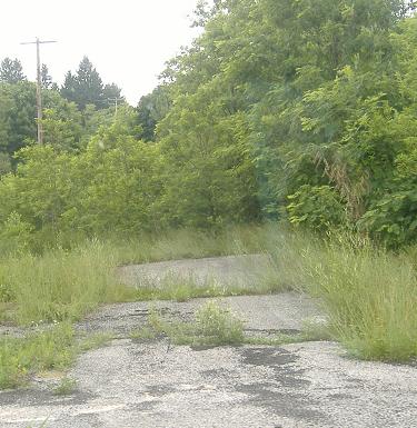
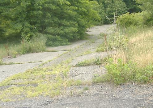
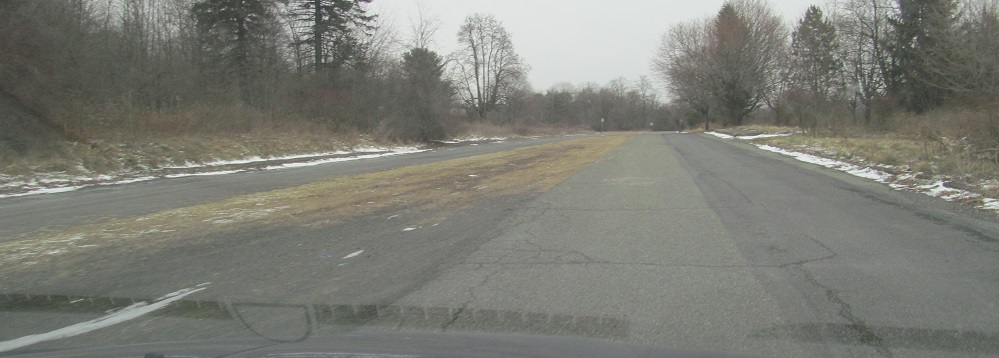
The utility poles continue north, even though the divided street becomes completely impassable.

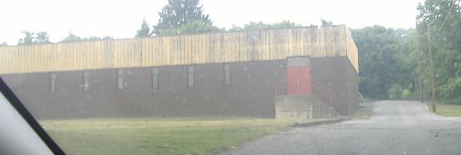
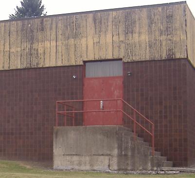
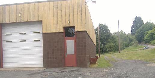
Jogging west over to the next street, and then heading north to the municipal building. Come on in! The front is on PA 42.
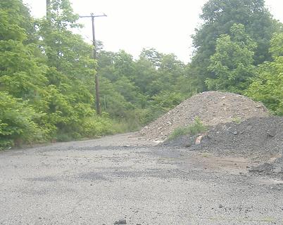
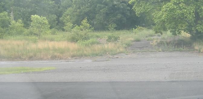
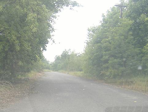
Yet another road ends, so I have to turn left back to PA 42. I'm already pretty far up the next hill, so I'm not going to find much more of Centralia to explore.
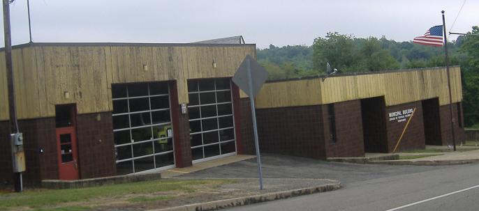
Down the front of the municipal building.
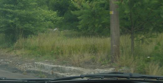

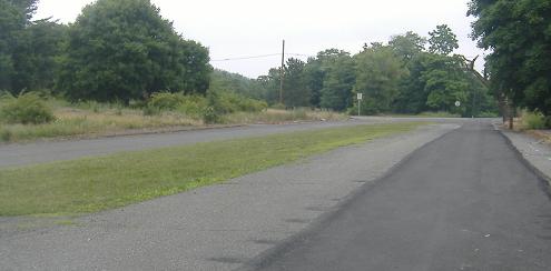
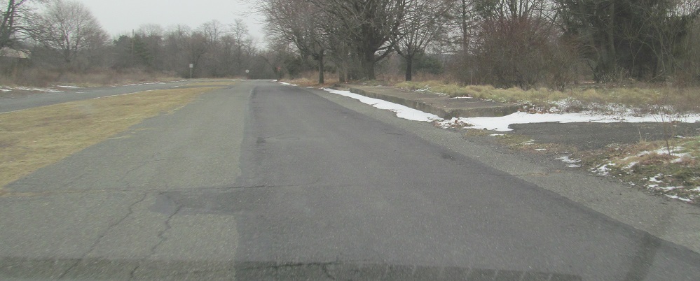
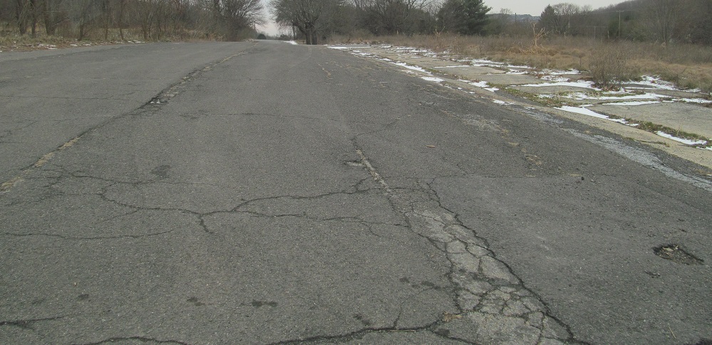
More steps to nowhere on PA Secondary Route 4029, then looking south and north at the next cross street past the divided one you saw at the top of this page. After this, 4029 heads out of town and eventually curls back to PA 54. If you really want to follow my exact photo trail, head there next, then pick up US 209.
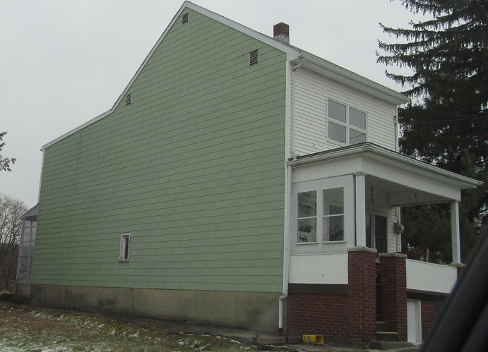
I returned to Centralia years later with a friend and explored some different roads. This is Troutwine St. north across PA 61, with one of the rare intact houses that someone must be holding onto until death.
Turning east onto Railroad Ave., unusual in that it's a nice divided parkway that people should want to live on normally. It even had a sidewalk!
Heading back south across PA 61 on Paxton St., itself with sidewalk.
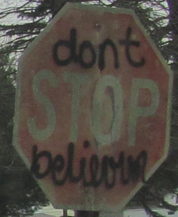
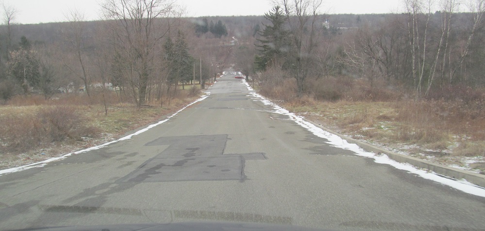
Main St. WB at Troutwine St. I'm havin' trouble believin' that Centralia will come back.
See more of town on Park St.
Up onto the hill
Abandoned PA 54/61
Back to Centralia main page
Back to Pennsylvania Roads
Back to Roads