and Elgin County/Niagara Regional Road 3 eastbound
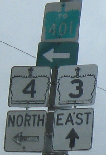
Elgin CR 3 EB becomes Highway 3 at Elgin CR 4 (to the south) and Highway 4 (to the north), the opposite of the photo on the main page. At least old signs survived in the EB direction (especially with the cut-corner "4"), probably because both of these directions are still King's Highways.
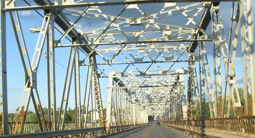
Haldimand CR 20 EB.
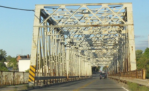
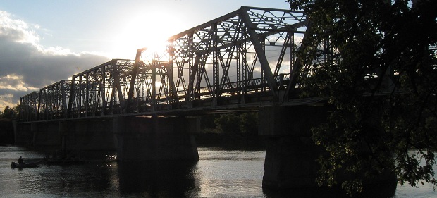
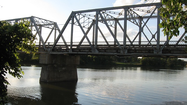
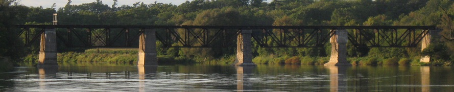
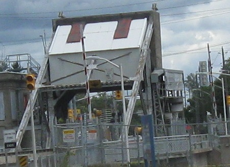
Across the Grand River.
More views of the bridge, looking northward, and of a railroad bridge in the distance behind/upriver.
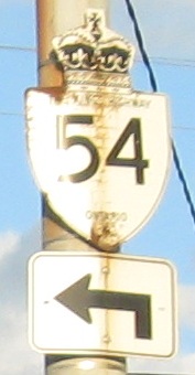
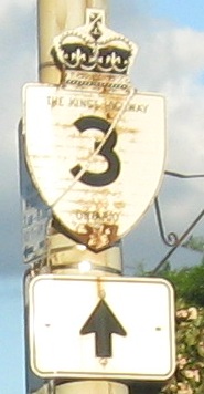
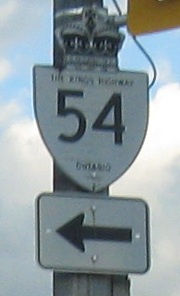
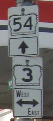
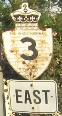
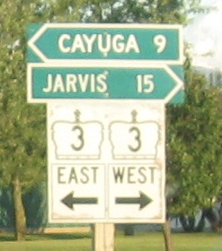
In Cayuga at the beginning of... Haldimand CR 54. This was Highway 54 until 1997, and the signs very clearly date well before that. The first photo atop the page is from just past this intersection and obviously just as old.
Highway (well, former) 54 SB and Munsee St. NB at that intersection. You know how old the signs are from the notched-font 3's.
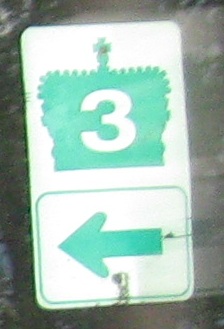
The second photo is on Killaly St., RR 5 entering Port Colborne. Although both halves of RR 5 line up with Highway 3, they're not old alignments. This trailblazer shield shows every sign of being region-erected, but at least it gets the crown outline reasonably correct.
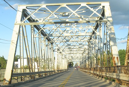
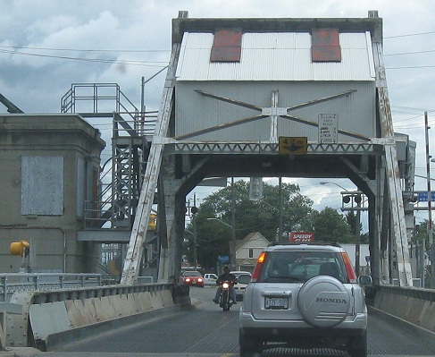
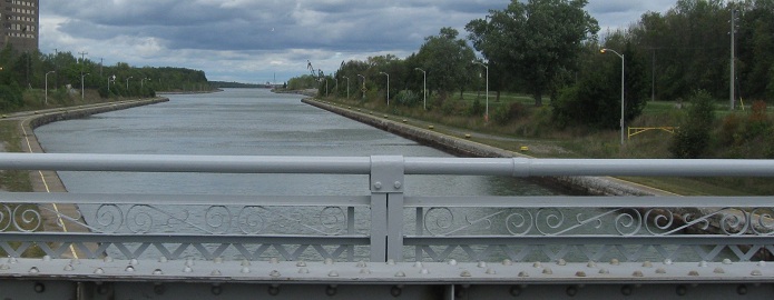
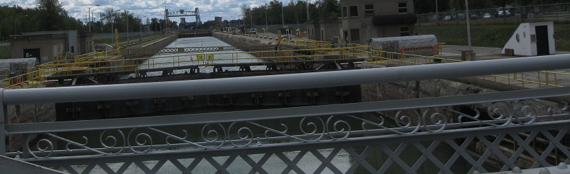
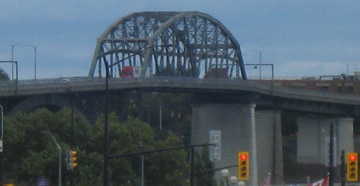
Across the Welland Canal on RR 3 in Port Colborne, looking south and north, obviously in the immediate vicinity of a lock. The truss structure of the bridge makes it look like a church entrance with a cross above.
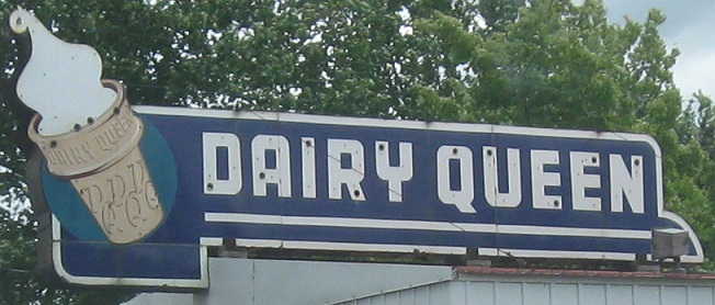
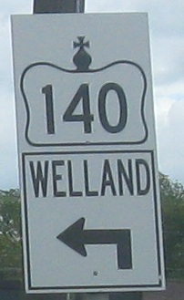
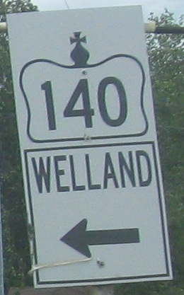
Niagara RR 3 ends for now and Highway 3 picks up again at Highway 140. Not only do the ugly one-piece signs completely demolish the historic crown shape, but they fail to do justice to directions. How about "North?" Only the QEW is privileged enough to use cities for directions. Dairy Queen: Neon-free since '93 (or something).
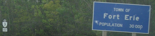
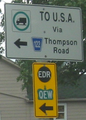
By the time Highway 3 gets near downtown Fort Erie, it's become a Regional Road again (i.e. by the second photo). Isn't it eerie that the population is exactly 30,000? EDR is an emergency detour route, and once again the crown has been destroyed for the QEW.
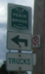
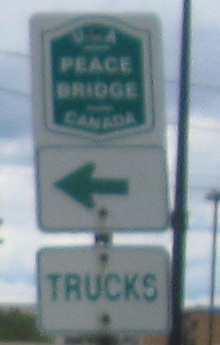
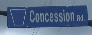
Concession Rd. (leading to the Peace Bridge) is former RR 126, but there's no evidence that a "126" was removed from the shield - I guess whoever made the new sign just copied the old one, which probably had a taped-over 126 inside. There are a couple of reverse 3 shields on overhead signs in Fort Erie, this one at King St.; most are the correct outlined style.
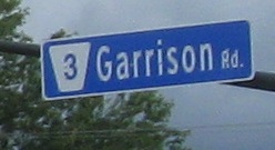
Great view of the Peace Bridge and the USA. RR 3/Garrison Rd. ends at those signals at Central Ave./RR 124.
 Haldimand CR 20 EB.