Ontario Roads - Niagara River Pkwy.
Niagara River Parkway


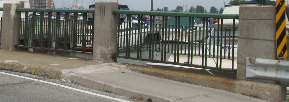
NB under the Peace Bridge.


SB views of the same.


NB under the International Railway Bridge, owned by Canadian National (CN).


Southward views of the same, showing it in relation to the Peace Bridge to the south.


NB across two creeks, one of which is named Bakers. The Niagara Falls faux skyline is in the background along the river.


Continuing NB past Netherby Rd., the Fort Erie/Niagara Falls boundary road. QEW trailblazers are supposed to be yellow on blue, but this just looks like it faded. The Niagara Falls skyline is entirely caused by a casino (including the fake mini-CN Tower) and the associated tourist development - there's no business center, hence my assertion that it's not real.

This is the former power house upstream of Niagara Falls, replaced by a modern structure spanning the entire Niagara River. The official name is Electrical Development Company of Ontario, Ltd., operated by the Toronto Power Company. I'm assuming it's so named because it powered Toronto, since it's based here and not in the big city.

Looking south from the power house at the increasing rapids of the Niagara River shortly before the Falls. The bridge in the background spans partway across the river and ends at an island that's technically on the NY side; I presume it belongs to either Customs or the power company, because there's no access to the public.

The NB approach to the famous falls, with the Rainbow Bridge looming in the background. The best views are from the sidewalks on the Canada side, although the bridge itself must have a decent view. The plume of fog rising from the falls creates a conical cloud that can be seen for dozens of miles (or kilometers on this side).


Normally I present southward photos in order from north to south, but in this case I present them from south to north in the order I took them so you can understand what the scene looked like to me, traveling north, as I turned back southward for Falls photos. There's the river at the height of its rapids, a lot of tourists and a hint of something spectacular, and finally the Parkway gets far away enough from the Falls without losing its line of sight to afford by far the best view from the road. The tourist-clad view is of the Horseshoe Falls, something you have to park expensively and wade through a sea of foreigners (which in this context includes Americans) to see properly. The much prettier and less crowded view is of the less powerful, less awesome, but probably more artistic American Falls. In that last view, far to the right, Bridal Veil Falls comes down with slight separation from the rest. The bridges in the background of the last photo connect Niagara Falls, NY to recreational Goat Island.


Views of the Rainbow Bridge, with its characteristic hour-long wait. This is Sunday afternoon of Labor Day weekend, so 1 hour may be hopelessly optimistic. The architectural treatment of the bridge approach is mirrored on the American side.


Tourists don't need quality, so why pay any attention to these NB signs at Falls Ave.? People who are allowed to use the Whirlpool Bridge (NEXUS users, those who are pre-screened to cross quickly) already know where it is, so there's no need for those silly whirlpool signs to be visible. Downtown? Who's going there? The Falls are right here, and there's a nice, shiny casino! Wrong font? One-piece signs? Why do we care, we just want to get back before we need to buy gas!

Skipping northward a bit to East-West Line, Niagara RR 85, which leads across to RR 55 and thus to the QEW. Straight ahead is Niagara-on-the-Lake only, so even though this requires backtracking southward, it's the best way to the QEW from way up here if you're Toronto-bound.


Into aforementioned Niagara-on-the-Lake on Queen St. (marking the end of Niagara River Pkwy.), at the former Niagara District Court House and a current cenotaph. To spare you looking it up, a cenotaph is a memorial for those buried elsewhere, although in this case it doubles as a memorial for those buried nowhere, since apparently no one nearby died in the Korean War. The courthouse was only in use for less than 20 years before St. Catharine's took over important functions due to its position on the Welland Canal. It became the Town Hall for awhile but is now just a theater.
Up onto the Peace Bridge to NY
To Queen Elizabeth Way
To Highway 420
See more of the Niagara Region
Back to Ontario Roads
Back to Roads