Oklahoma Roads - Old US 64, Pawnee Co.
Old US 64, Pawnee County
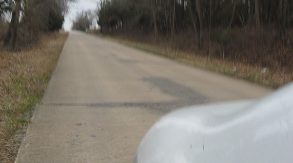
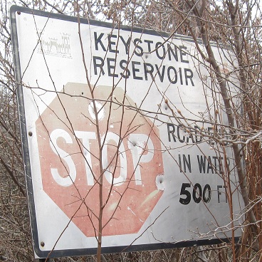
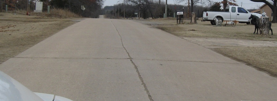
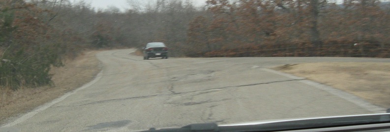
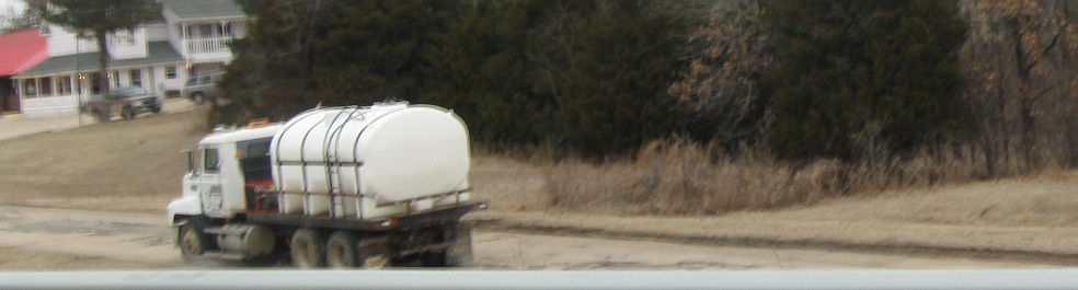
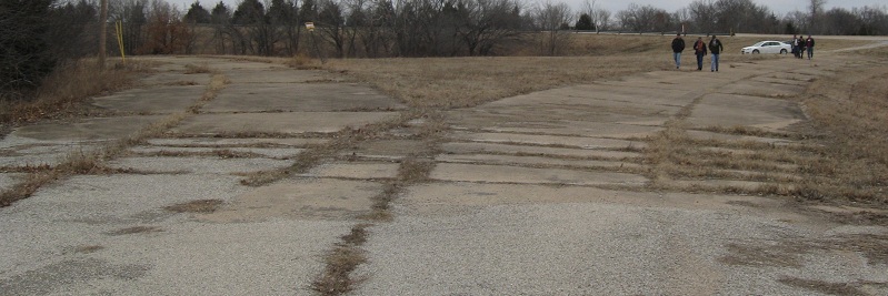
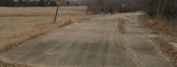
Heading EB on the old alignment to one of the stops of the Tulsa Road Meet. And you definitely stop when there's a stop sign like this.
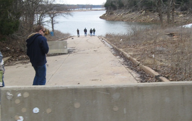
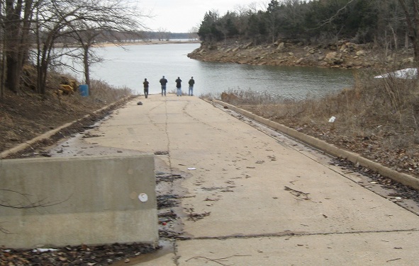
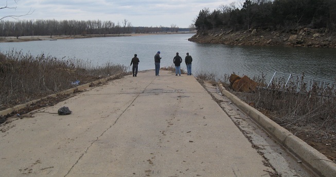
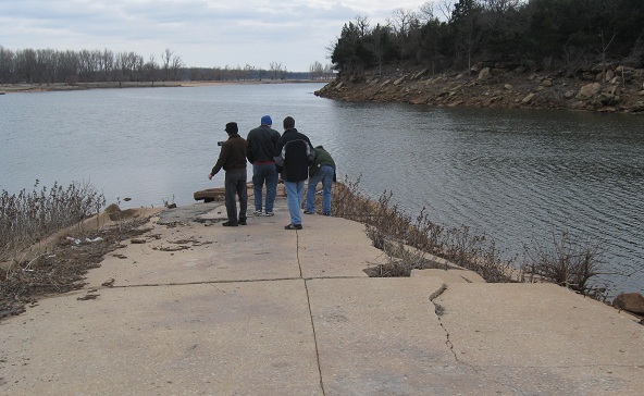
The crew plays around near the water, but it's February, too cold to wade in.
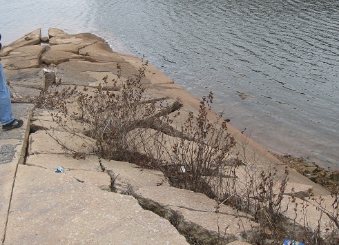
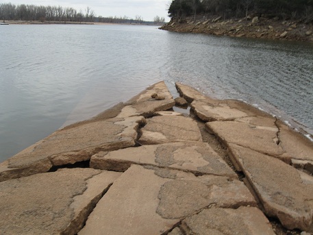
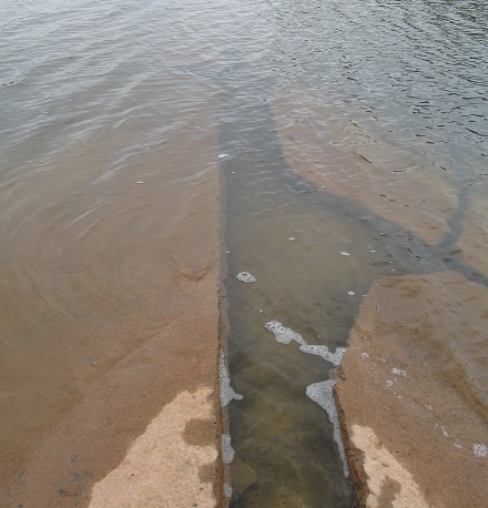
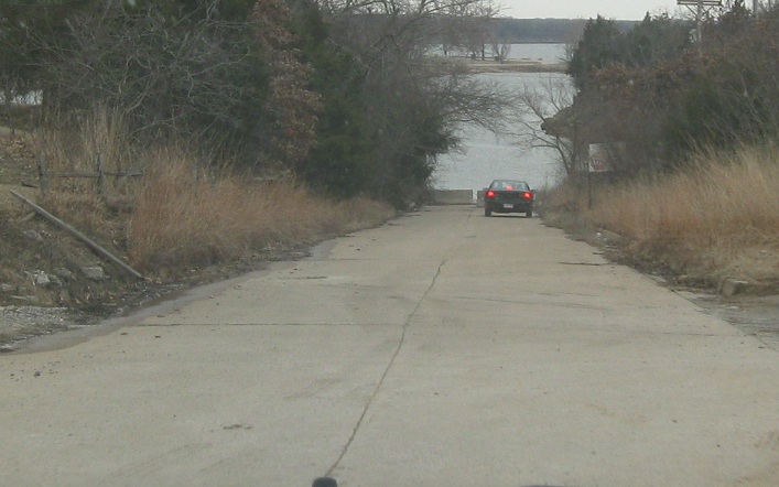
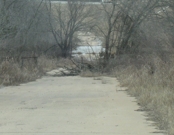
Since the dam was put in, the water has eroded the ground supporting the roadway, leaving old US 64 to slowly crumble into the lake.
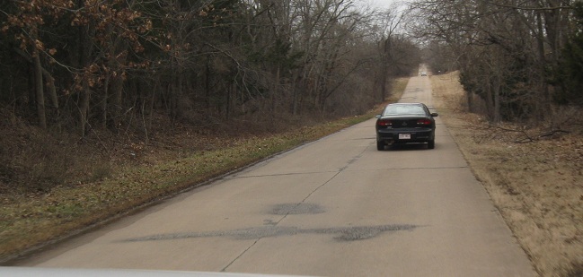
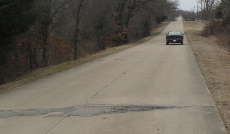
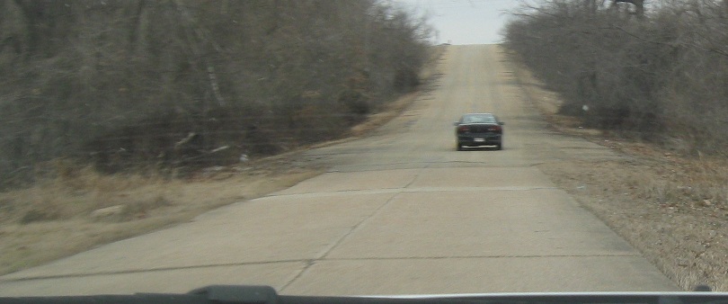
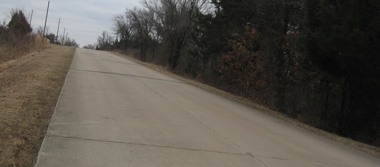
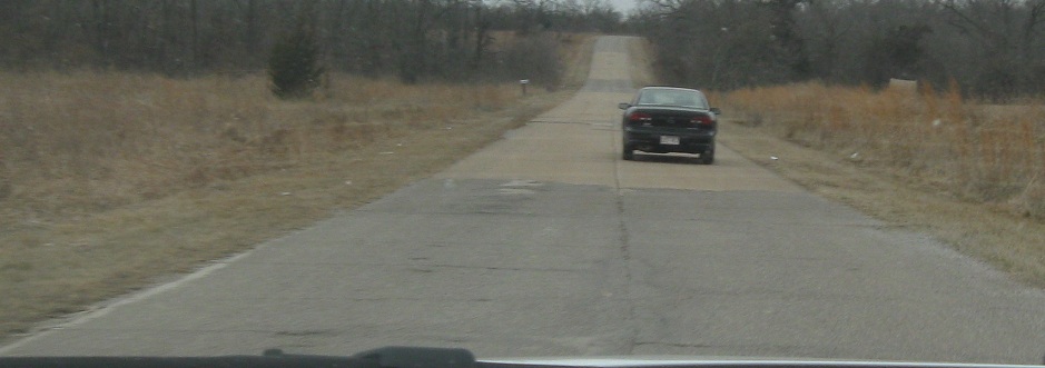
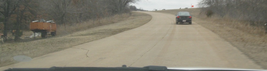
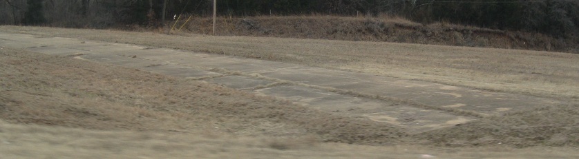
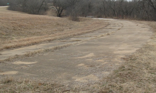
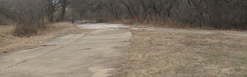
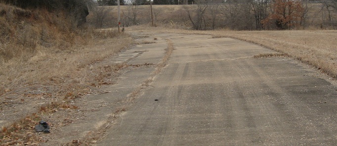
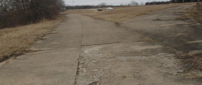
Heading back out for a few miles. The concrete was laid very nicely around the curved spine of the roadway centerline, so you can trace the even rhythm of the old slabs through the asphalt.
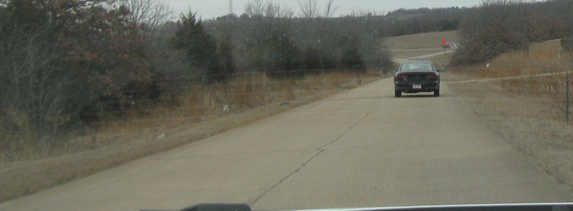
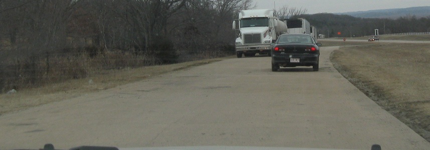
On to the next section of old US 64, northwest of where the current route leaves the Keystone Expressway (and the Cimarron Tpk. continues west).
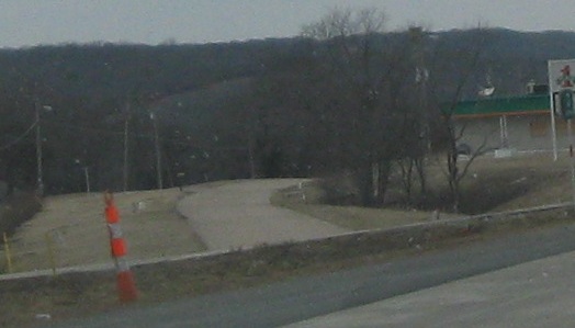
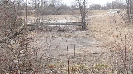
Another short section bends off to the left and around the back of a few buildings. I don't think there's a bridge behind those trees, maybe just a culvert, but it's enough to not let traffic continue ahead to 64.

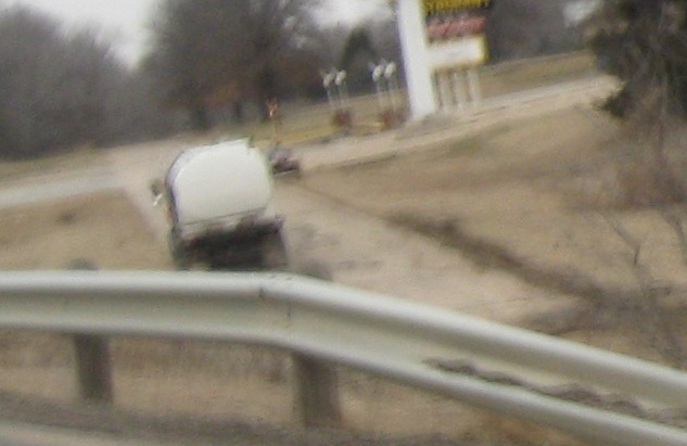
The next section west is by Cleveland Municipal Airport. Not the Cleveland you're thinking of.
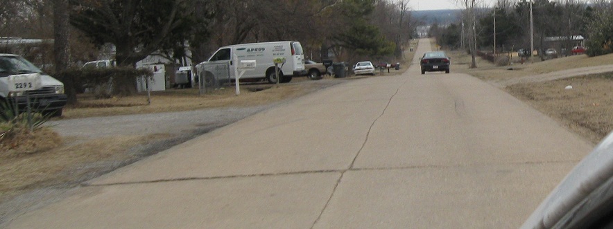
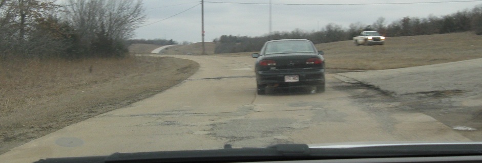
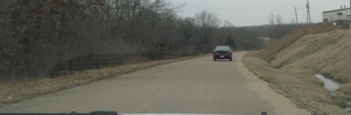
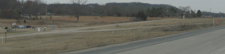
After that next section comes back toward US 64, it crosses straight over and continues to the right as seen here. Continuing west, it's inundated by the upper reaches of Keystone Lake, then reappears in Cleveland as Dunlap St., curving into Caddo St. where US 64 and OK 99 now turn to come together. (Back then, US 64 didnt' have to turn.)
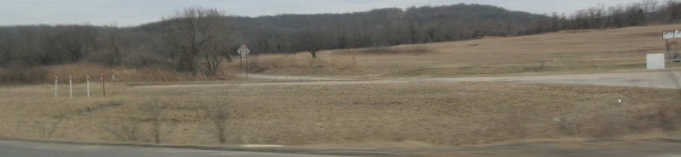
Speaking of US 64 and OK 99, just to the right of the US 64/OK 99 wye is another wye in the grass, about the same size and oriented the same way. So while I'm taking this out the passenger side window from the US 64 EB roadway to OK 99 SB, this curve starts from former US 64 WB and heads to former OK 99 SB. And this was also a stop during the Tulsa Road Meet.
The first leg I walked is the one I just showed you, US 64 WB to OK 99 SB. Because OK 99 is paired with US 64 to the east, this was the OK 99 SB mainline. It's cut off by a creek that's no longer bridged, and continues on the other side up the hill to merge into the current alignment.
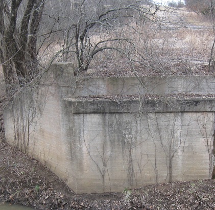
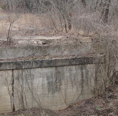
Turned around northward, where OK 99 NB went right but I head left toward former US 64 WB as the rest of the meet comes down where I was. The last two photos are the two sides of the far abutment that once had a US 64 bridge on top of it, and you can see the old alignment trailing back from there.
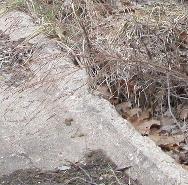
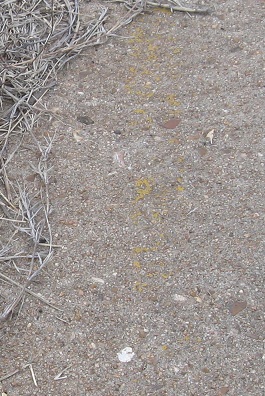
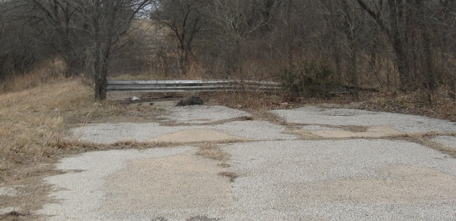
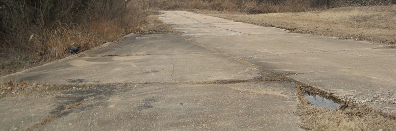
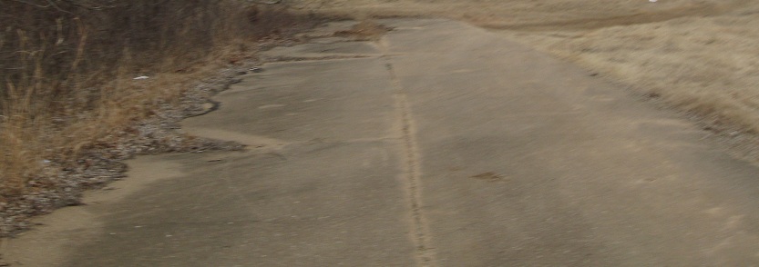
Details of the old roadway: molded curb that appears to be part of the base concrete, and the trace of a former center stripe out behind the guiderail. What guiderail? See the next photo.
Heading back out from the US 64 non-bridge and following the old path from 64 EB to OK 99 SB.

Two views from the northern leg of the Y, the US 64 mainline, facing east and west.
Continue west on former US 64 to Garfield County
Modern US 64 mainline
Back to US 64 main page
The 2/22/10 Tulsa Road Meet
Back to Oklahoma Roads
Back to Roads