Ohio Roads - I-70 EB (Columbus & W.)/I-71 NB
I-70 EB, Columbus and west; I-70 EB/I-71 NB
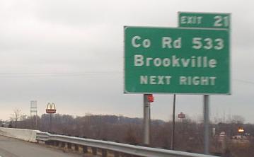
Just inside the state line, courtesy Bill Donovan.
The nighttime, barely reflective photo (second to last) is courtesy Bill Donovan, and the rest of these signs are courtesy Doug Kerr.
The overpass in the background is pretty new - this was a full cloverleaf until the NB-WB ramp was turned into a flyover. First two photos courtesy John Krakoff, last courtesy Doug Kerr.
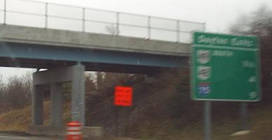
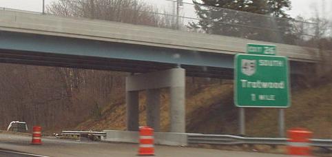
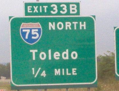
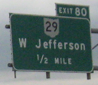
The first photo is an overpass for the railroad through Taylorsville Metro Park, courtesy Doug Kerr. Second photo is courtesy Bill Donovan, and used to say Ľ MILE. Pieces of I-70 were already losing their button copy, although usually entire signs were replaced at once - I don't know where this arrow came from. A lot more button copy is gone now.
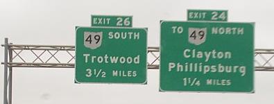
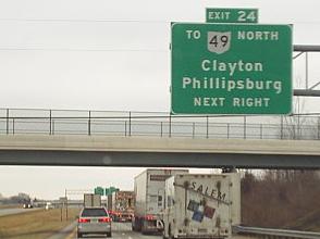
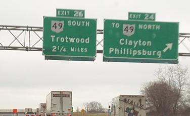
The last six photos are mine, and the rest are courtesy Doug Kerr.
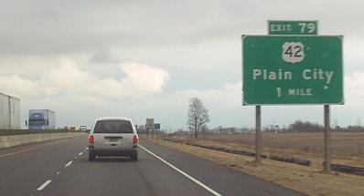
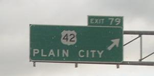
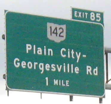
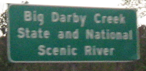
All courtesy Doug Kerr except the third photo. That's not a narrow freeway in the latter photos, it's just reconstruction of the WB side has pushed everyone together temporarily. I don't know why PLAIN CITY feels the need to advertise its plainness so blatantly. It may be a relic never replaced from a previous generation of signage, or a one-off for construction.
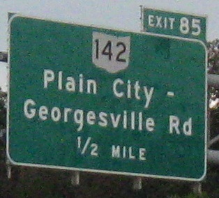
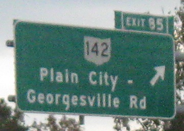
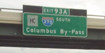
Alert the FHWA, improper use of a banner! And at Exit 85, improper sizing of exit tab. I could say the same about Exit 93A (ignoring the center exit tab that should be on the right, since all older signs have that feature), but I don't know whether that's all one sign or black sun glare blockers attached on either side of the exit tab. The last two photos not of blue signs are again courtesy Doug Kerr.
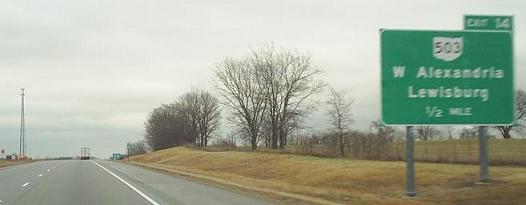
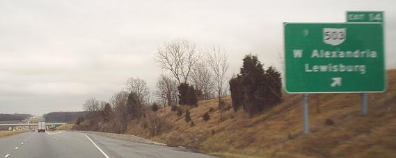
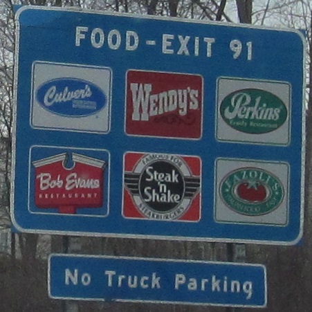
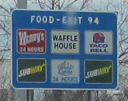
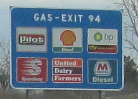
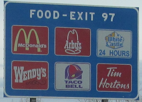
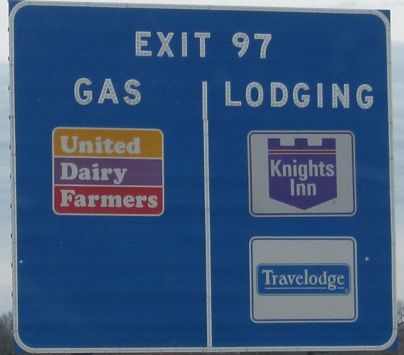
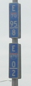
Backing up a couple of miles, the first photo is on the Exit 94 ramp and the second is on a light pole east of Exit 95, once showing the milepost but now faded beyond recognition.
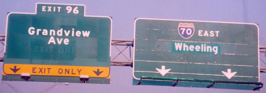
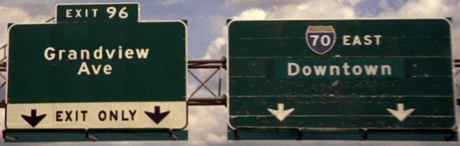
Courtesy John Krakoff, from the time before I-670 was complete. The ramps only made it one exit, which is Grandview Ave. Click on the first photo to see it at an earlier time when it looked like the second photo. The signs date before I-70 was moved to its present routing - it would have used I-670, but according to Sandor Gulyas, the complicated interchange with OH 315 was the death knell for the idea. I'm inclined to believe the failure to complete I-670 also played a role, though it did eventually get built unlike many other planned freeways.
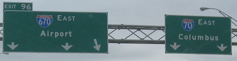
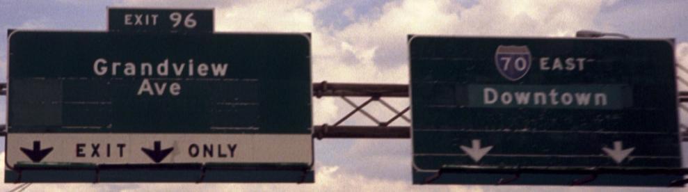
Modern-day signage, where I-670 somehow begins before it begins. I don't care if the westbound side hasn't merged in yet (and it's still wrong, because you can see both mileposts outlined on the reverse side), you can't be on I-670 when you're still on I-70. The second photo is just pure cheapness, with ODOT failing to extend the sign all the way over the third lane. Signs aren't as expensive as accidents.
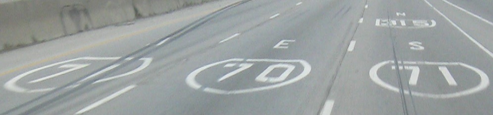
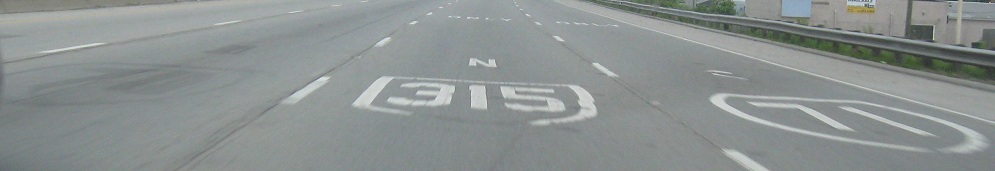
Pavement shields, current and former. Why bother scraping off I-71 N and I-70 E in the second photo? They weren't hurting anything.
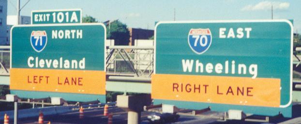

EB/NB on I-70/71 courtesy John Krakoff, from the time when their northeastern interchange was under reconstruction (obviously). These signs seem to have been pretty well abused for that purpose, so I'm sure they're gone now.
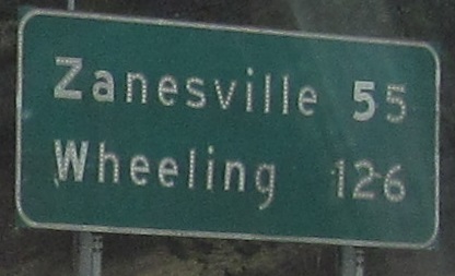
Technically these are in Columbus, not east of it. Don't hate me because I'm beautiful.
Continue east on I-70 EB
Over to the WB side (and intersecting roads)
Exit 101A to I-71 alone
Back to I-70 main page
Into Indiana on I-70
Exit 1 to US 35
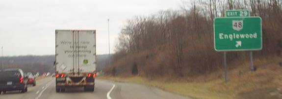
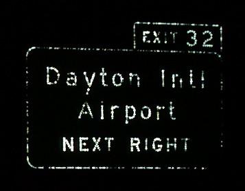
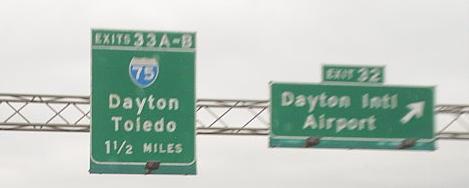
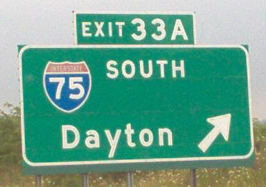
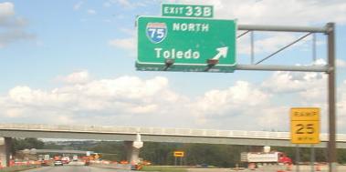
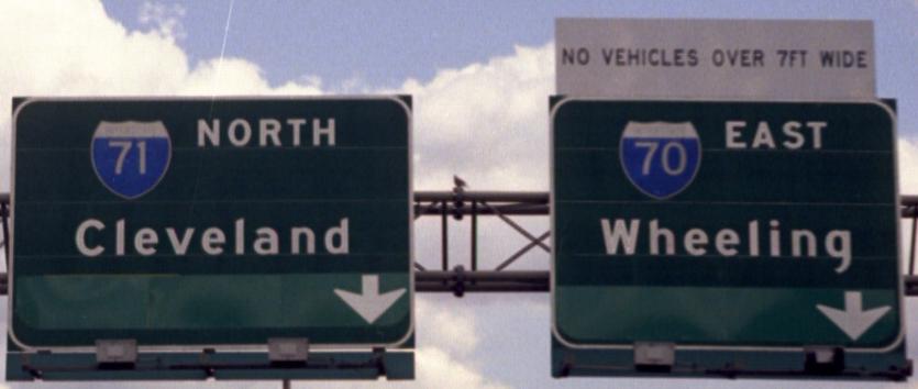
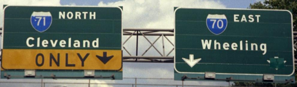
Exit 33 to I-75
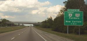
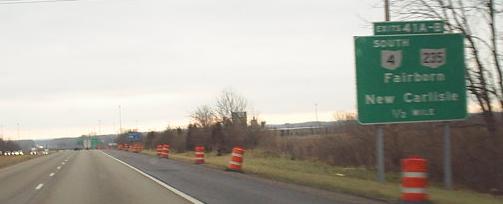
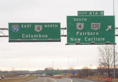
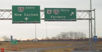
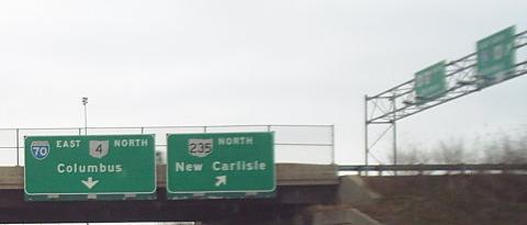
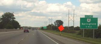
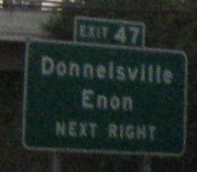
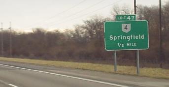
Exit 41 or 47 to OH 4
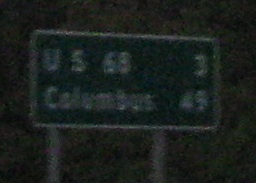
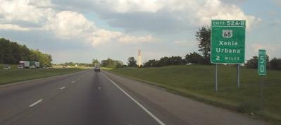
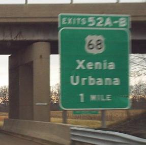
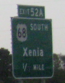
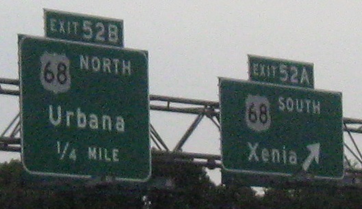
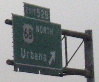
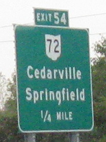
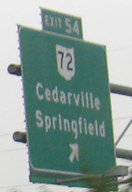
Exit 52 to US 68
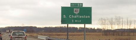
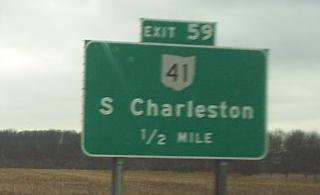
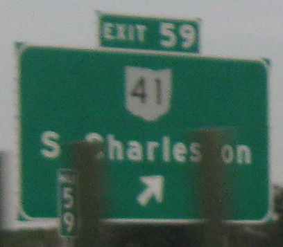
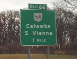
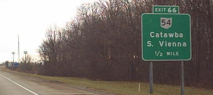
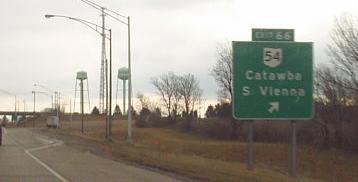
Exit 59 to OH 41
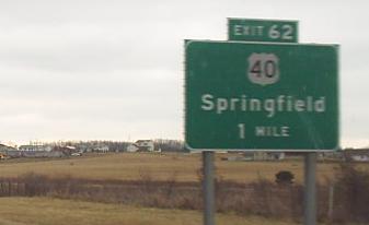
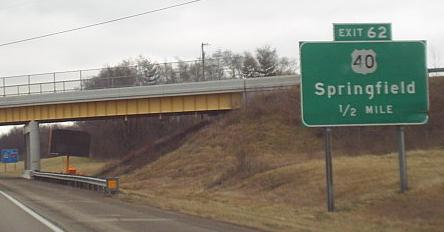
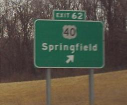
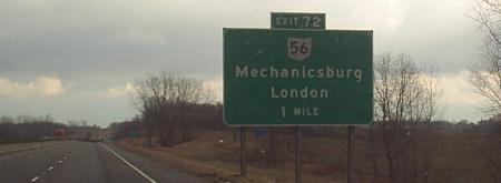
Exit 62 to US 40
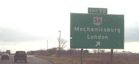
Exit 79 to US 42
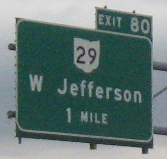
Exit 85 to OH 142
Exit 93 to I-270
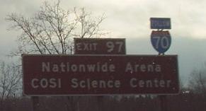
Exit 96 to I-670
Onto OH 315
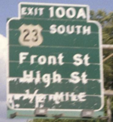
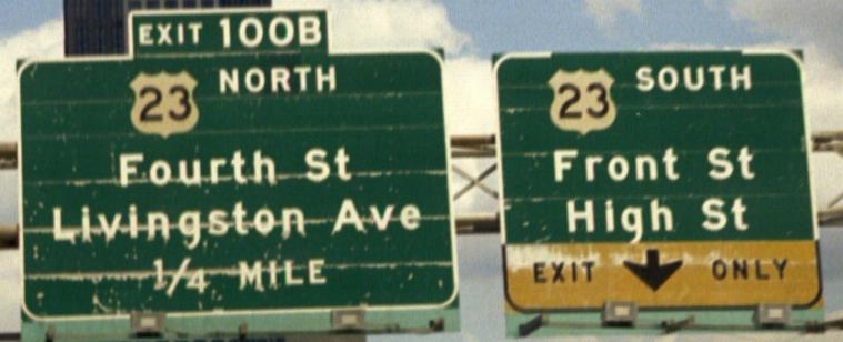
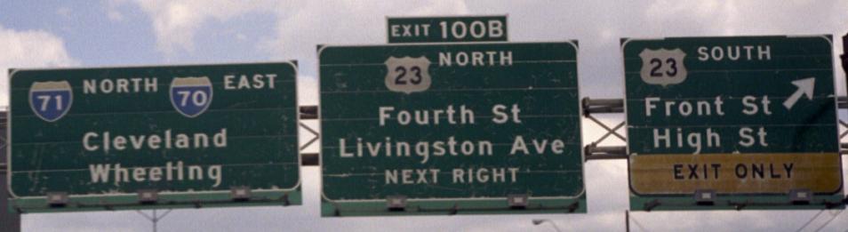
Exit 100 to US 23
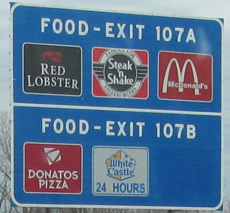
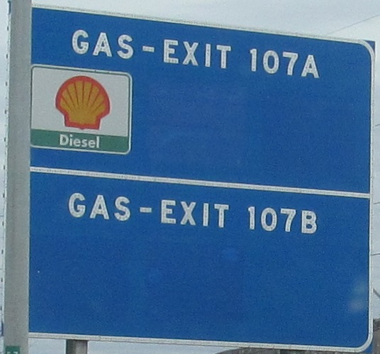
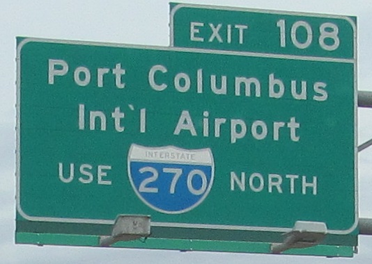
Exit 108 to I-270
Back to Ohio Roads
Back to Roads