New Zealand Roads - NZ 1 - S. Island - Belfast and S.
 (South Island), Belfast and south
All photos were taken northbound unless otherwise noted.
So of course, the very first caption includes a SB photo (2nd), capturing New Zealand's old font in Balclutha.
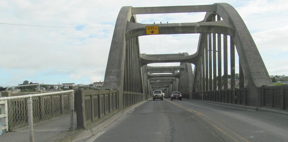
So of course, the very second caption also includes a SB photo (the last one). In a very Gaelic manner, befitting many of the place names and settlers found around the country (but especially in the South Island), the river next to Balclutha (and crossed by the Balclutha Bridge) is the Clutha.
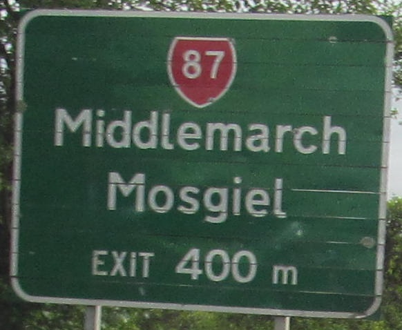
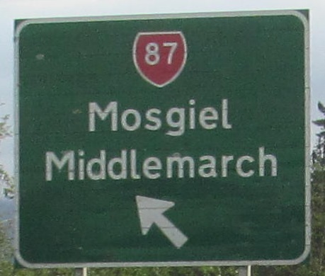
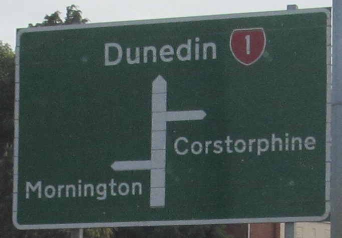
A run of old signs between Salmonds Creek in Milton and Andersons Bay Rd. in Dunedin.
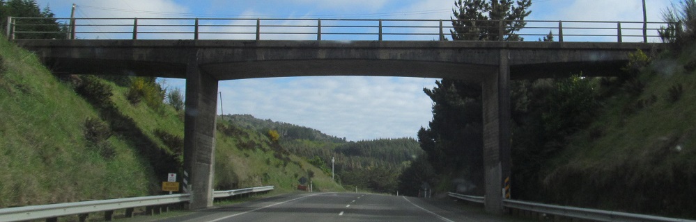
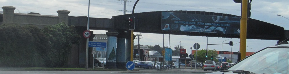
NZ 1 becomes the Northern Motorway for a brief stretch after Dunedin, but it's just a super-2. This overpass is Dryden Rd. I was probably passing someone as I took this photo.
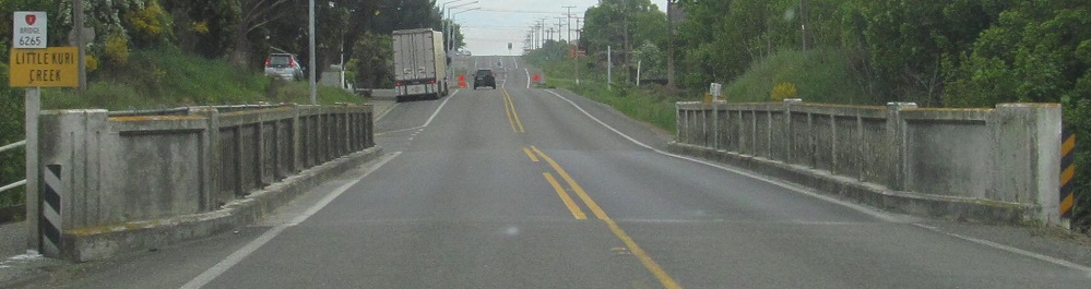
Starting at Little Kuri (now Kurii̅ti) Creek, then across the much broader Kakanui River in Maheno.
Old Oamaru signs.
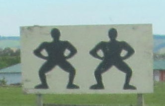
The Waitake River is pretty. This local's sign just north of it is either very ugly or just bizarre. I never encountered much racism in New Zealand so I hope it's the latter.
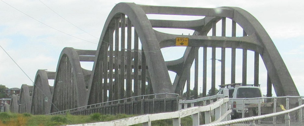
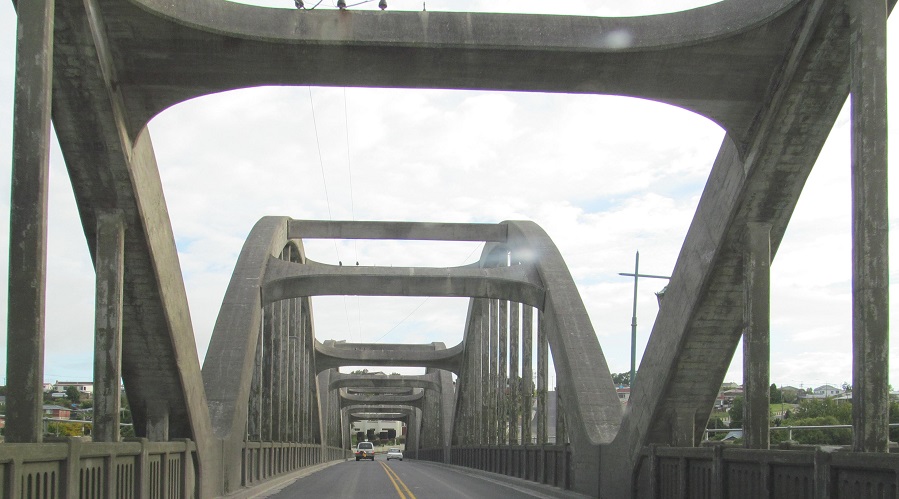
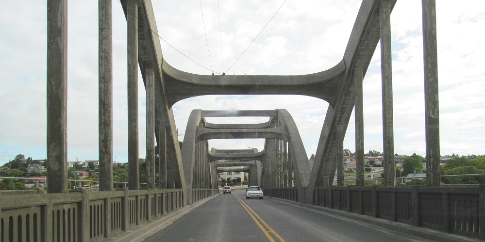
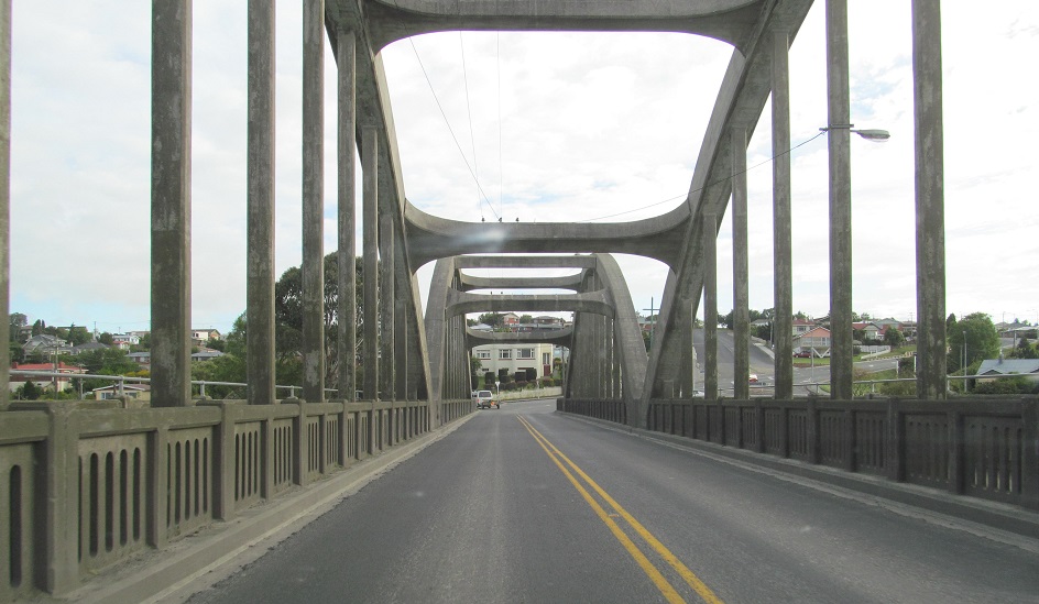
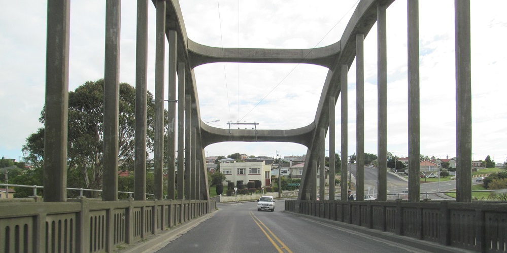
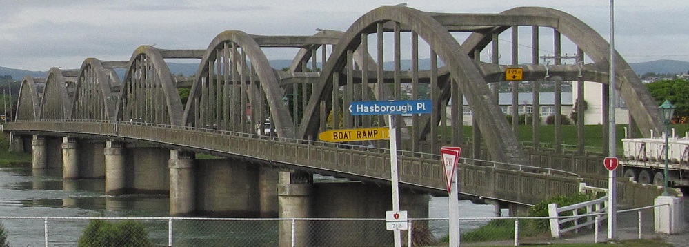
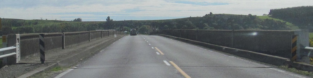
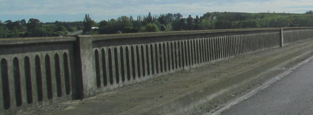
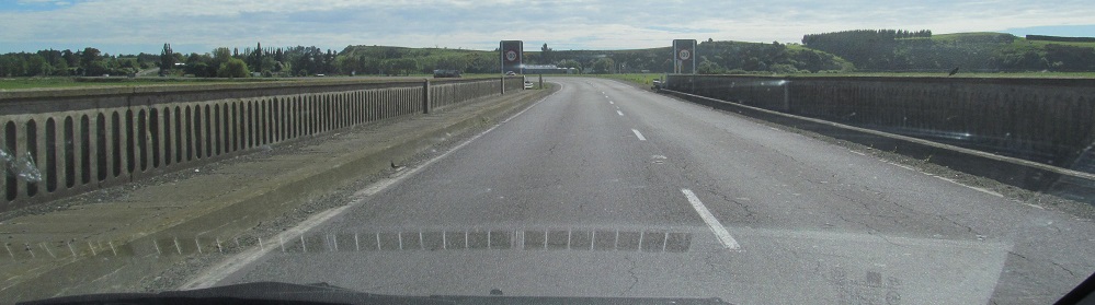
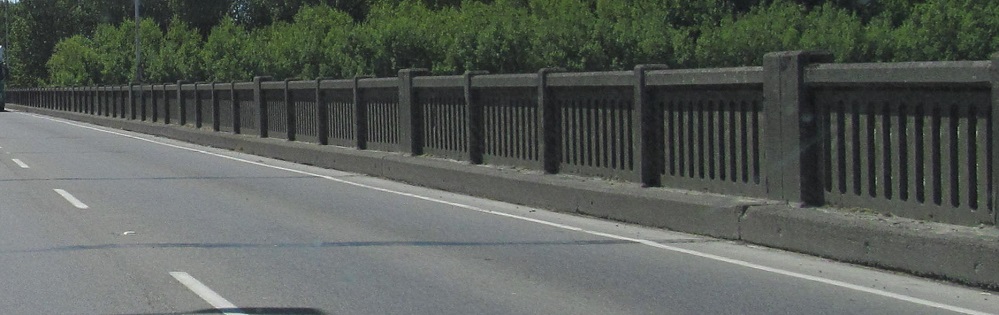
Across the Waihao River. Most old bridges around New Zealand look the same, but they're still old.
 SB, unofficial sign.
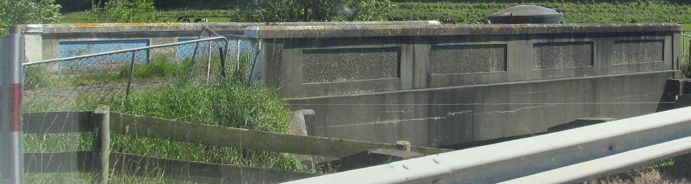
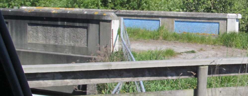
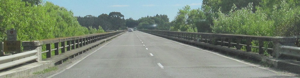
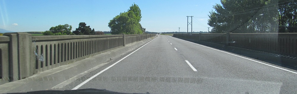
The new road makes quick work of bypassing the old Horseshoe Bend Creek bridge. It's very unusual for New Zealand that the old bridge was left behind.
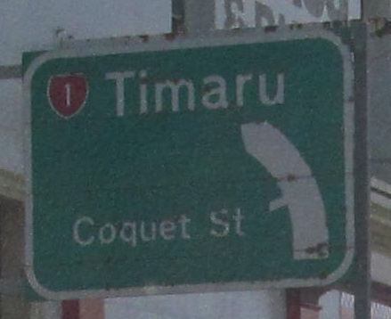
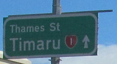
Old curve sign at White St. in Timaru, the same city as this page's header photo. New Zealand now uses black on yellow.
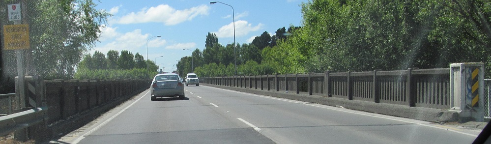
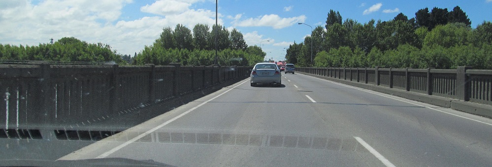
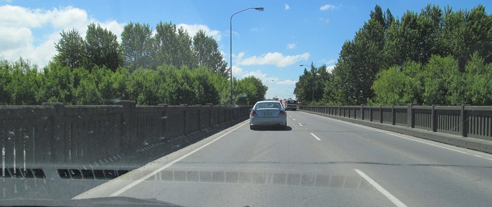
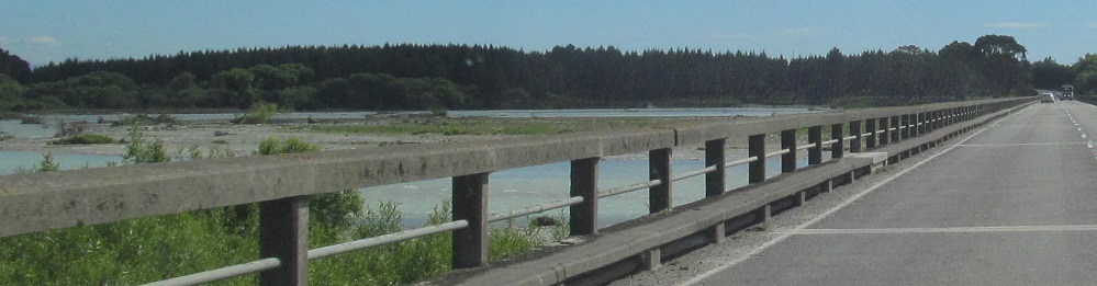
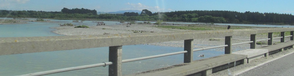
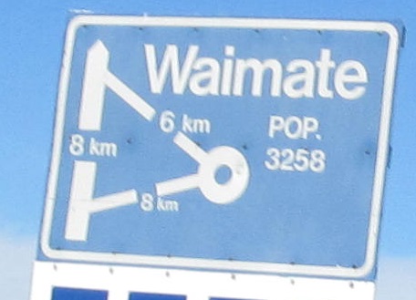
Across the Ashburton (Hakatere) River. I wouldn't be surprised if it's already just the Hakatere, in an effort to reinstitute Ma̅ori place names.
Ongoing dualization on the west side of Christchurch.
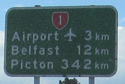
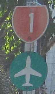
My guess is the word "Airport" was added more recently to explicate the symbol.
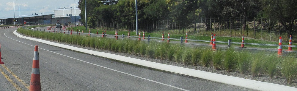
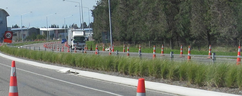
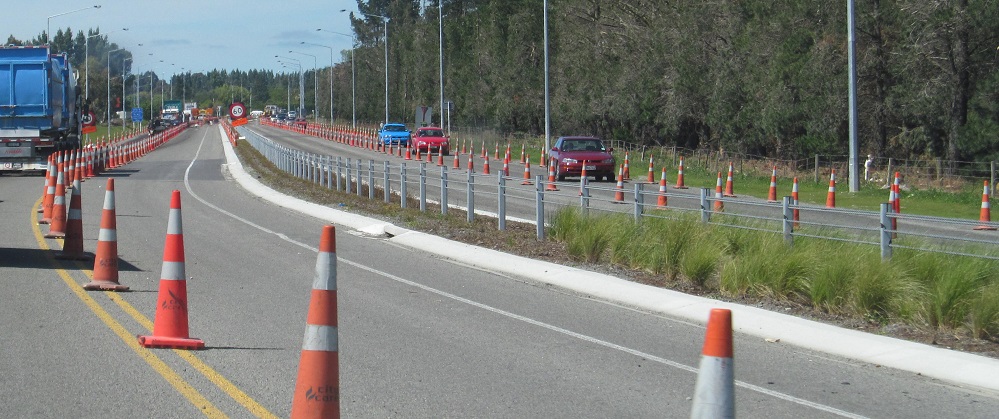
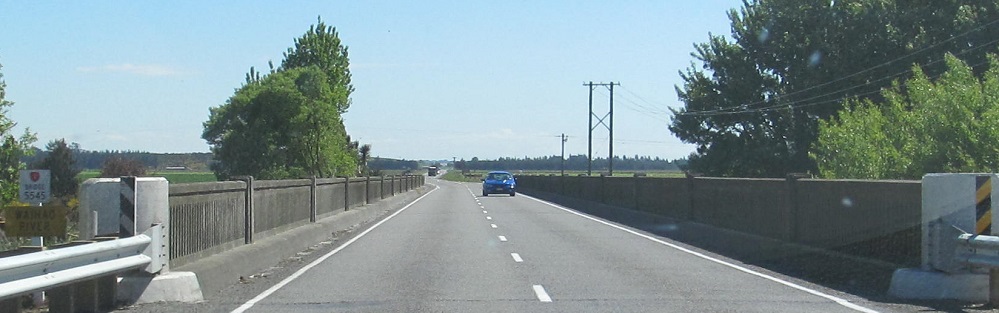
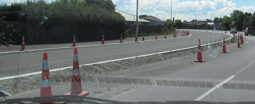
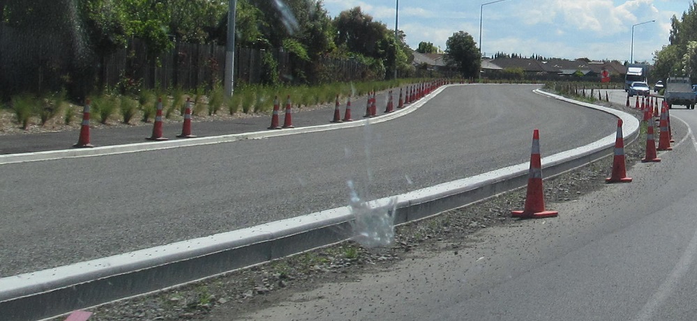
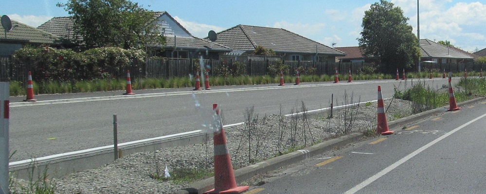
Heading north through construction of the NZ 1 Western Belfast Bypass, which is dualizing the 2-lane road I traveled in 2013.
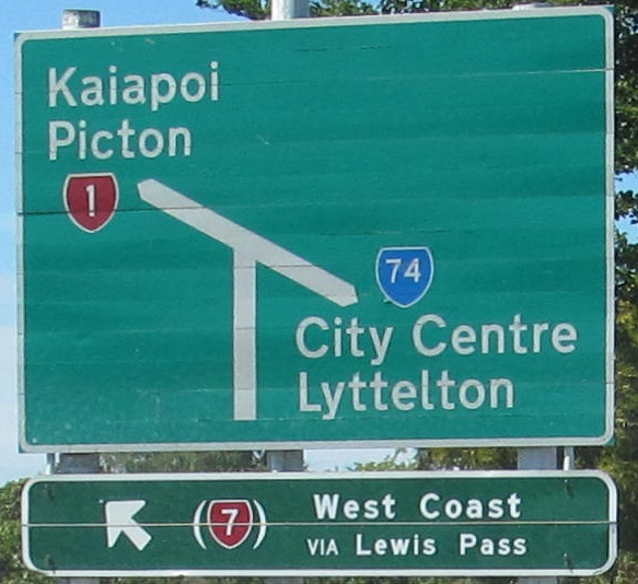
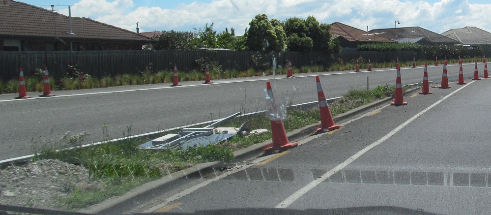
Extension of the bypass also means NZ 74 is extended north along old NZ 1 to meet it, which means that this old NB sign is now inaccurate and long gone. It was on what's now just Johns Rd. Until some point in the distant past, NZ had a classification system of primary and secondary routes, where the secondaries (all of the 2-digit routes that branch off of their 1-digit parents) were signed with blue shields instead of red. NZ 74 is still a branch of NZ 7, but now all routes get the same red shield. Incidentally, if NZ 1 originally went straight into Christchurch as I suspect, the first 4 km of NZ 74 to the right is along original NZ 1.
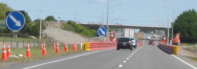
Looking back south at the future tie-in of the freeway and surface road.
Continue north on NZ 1
Back to NZ 1 main page
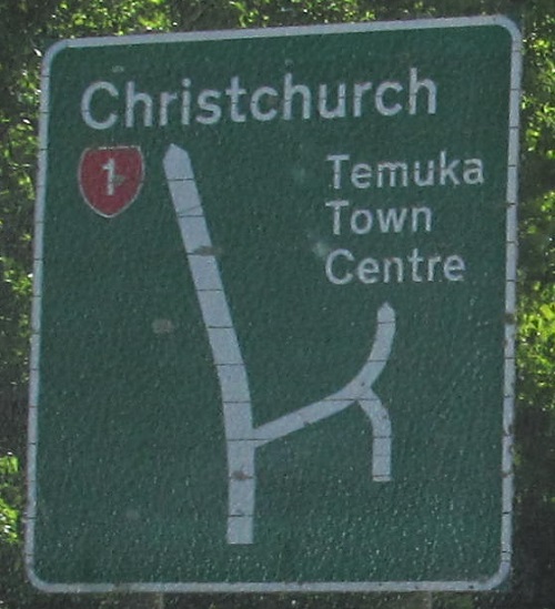
See more of Christchurch
Back to New Zealand Roads
Back to Roads