New Zealand Roads - NZ 1 - N. Island - Auckland and N.
 (North Island), Auckland and north
All photos were taken northbound.
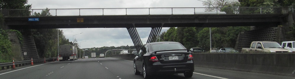
For some reason, NZ 1 is mileposted from north to south, so exit numbers count up as I enter Auckland. Hill Rd. is Exit 451, just inside the city limits of Auckland. The NZ 16 shields should be the same width as the 1s; I get the feeling New Zealand is starting to relax that rule.
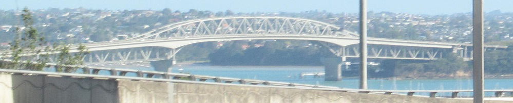
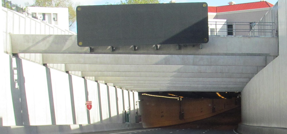

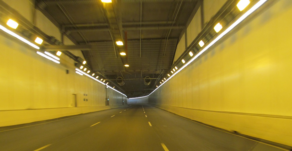
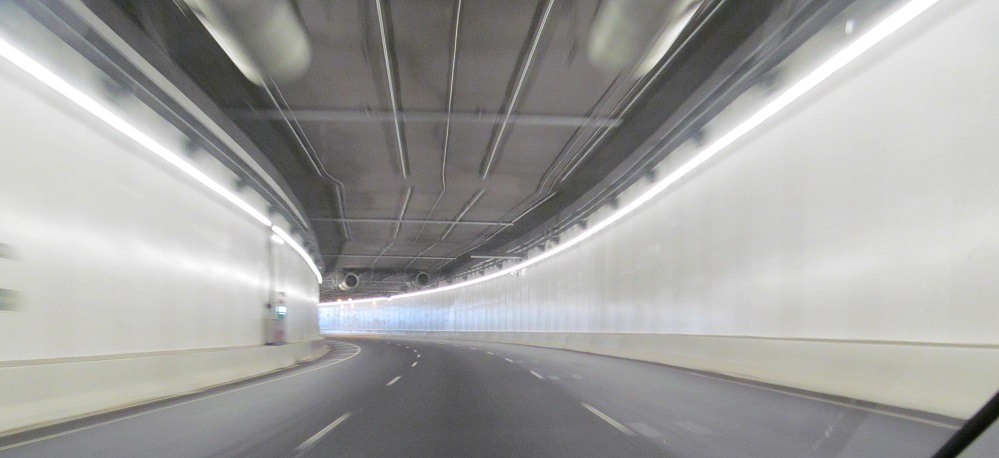
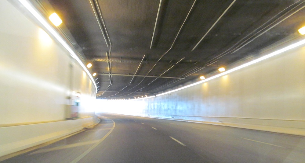
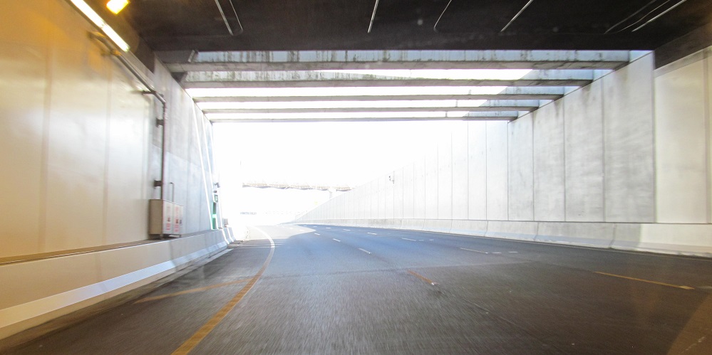
I can see the Auckland Harbour Bridge, but before I can cross the bridge, I must first go through a tunnel. The four original freeway lanes elevated above Victoria Park now are all dedicated to SB traffic, with the old SB side leading to NZ 16 and the old NB side now the NZ 1 SB through lanes. In order to not further disturb the park, the new 3 NB lanes are underneath.
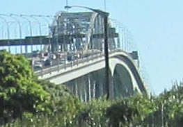
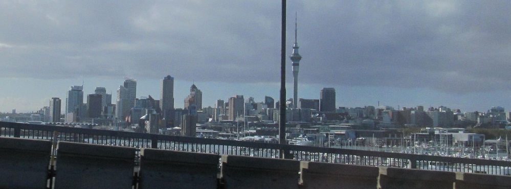

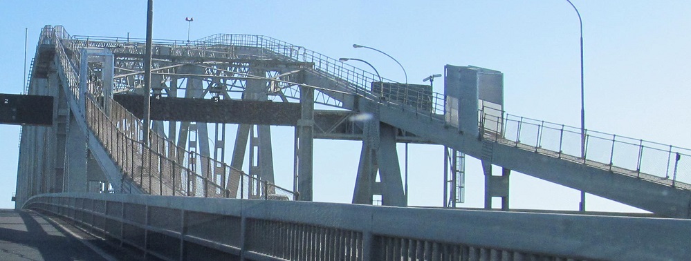
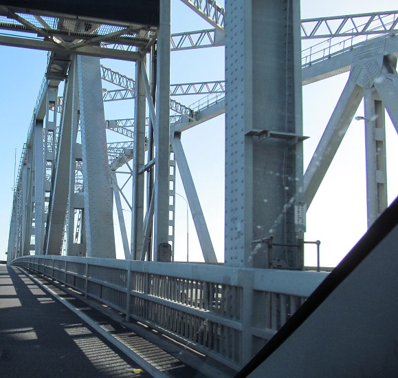
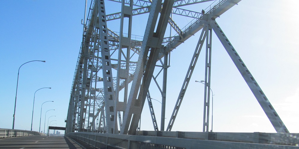
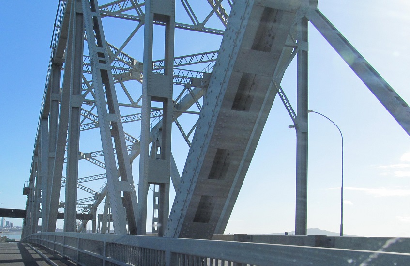
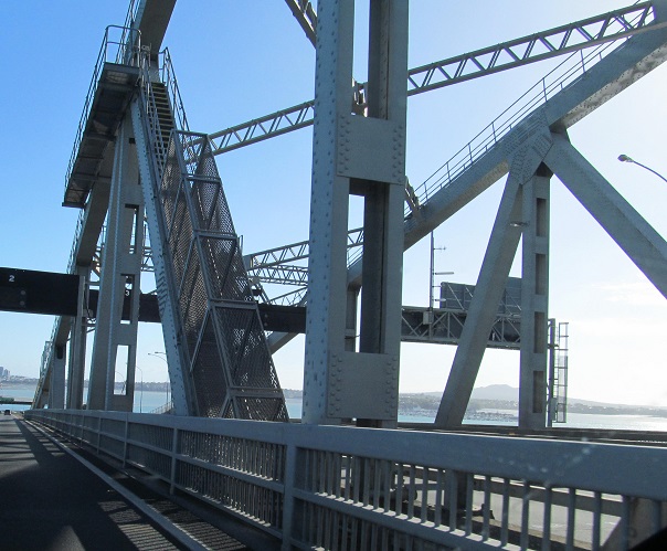
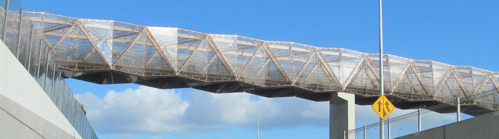
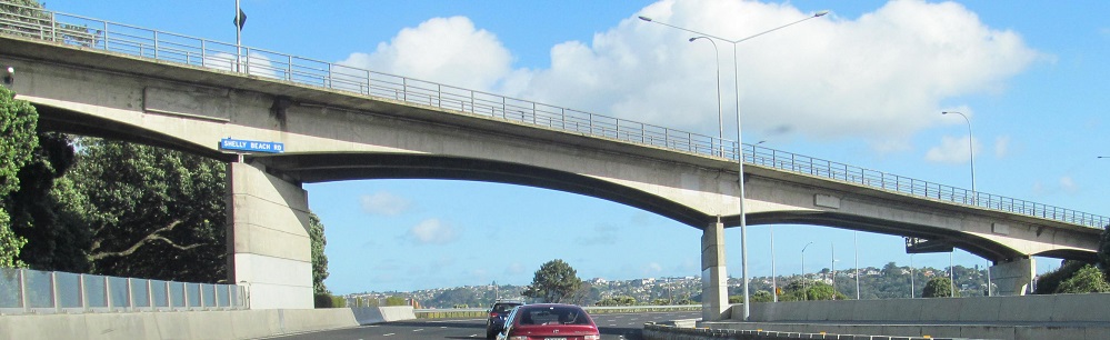
I opted for the side view as the lanes in both directions split around the original 4-lane truss. A balanced widening was chosen instead of a second parallel span. To the southeast, you can see the Sky Tower dominating the Auckland skyline.
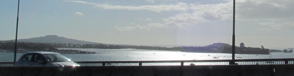
Devonport is an old neighborhood to the east of the north side of the bridge, originally on an island before being connected to the mainland by a causeway.
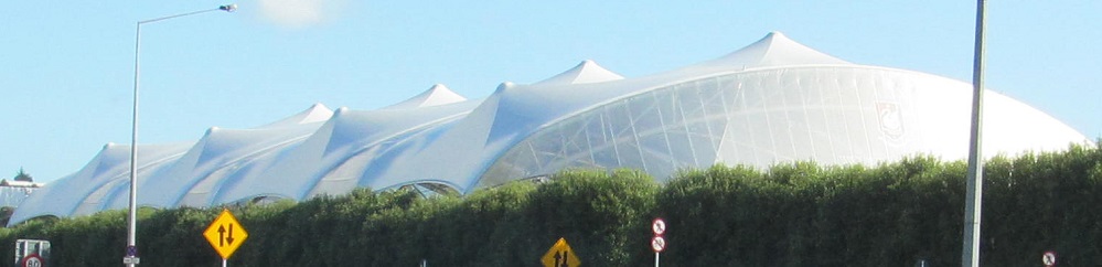
This looks more interesting than it is - just covered tennis courts at Westlake Girls High School.
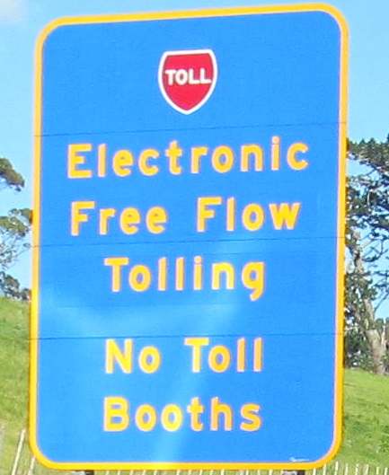
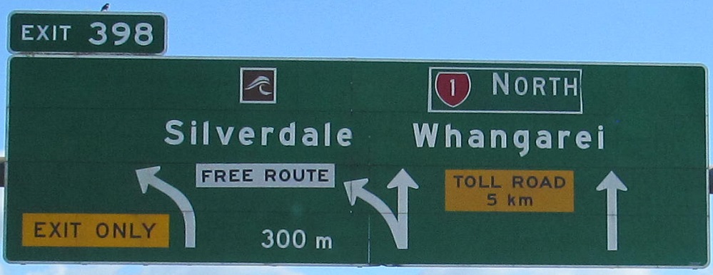
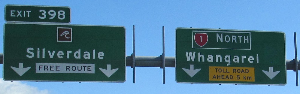
Not a fan of the yellow on blue toll scheme. The "Free Route" is the Hibiscus Coast Highway, old NZ 1 through Orewa. I'm not sure what to make of the little highway guide sign (New Zealand never includes the number) because that sign is still on the Exit 398 ramp, meaning that I just intentionally exited the highway, and the old route to continue north is to the right, not the left.
Back on the highway after the tolled section. The last photo is exactly why large signs have two poles: so that you can crash into one of them without losing the sign. I'm sure that's why.
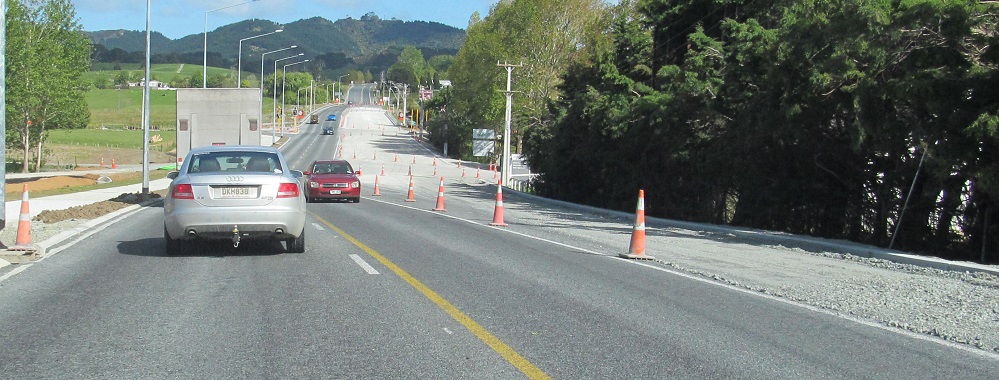

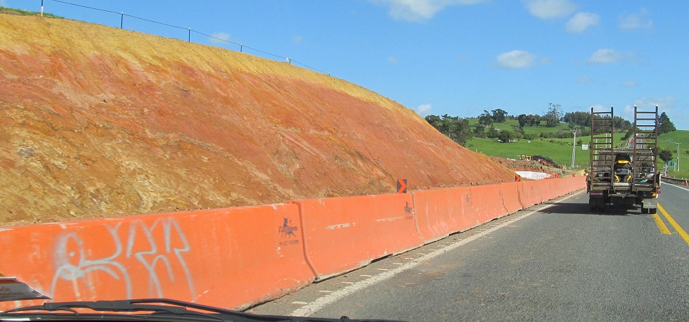
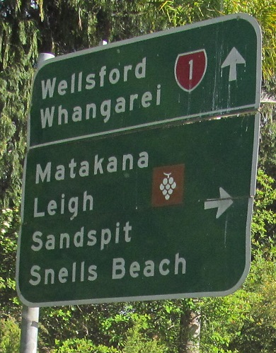
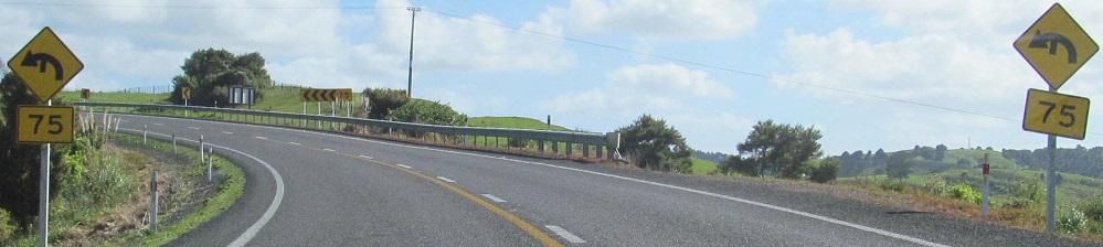
Minor widening in the towns on either side of the Dome Valley, Warkworth (2 photos) and Wellsford.
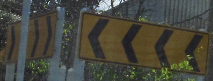
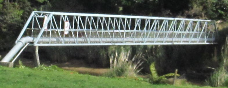
The chevrons are in Kaiwaka. The pipe truss is near Waipu.

Heading north across the Otaika River. I noticed a trend of not cutting out work zone diamond signs. Laziness.
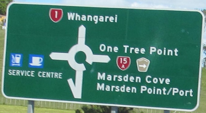
Clearly there used to be another leg on this sign.
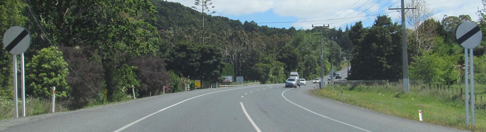
No speed limit leaving Whangarei.
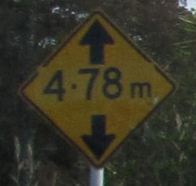 Floating decimal at View Rd., Hikurangi.

End of this route in Pakaraka. Wokka wokka. The ENDS sign should also be white on red.
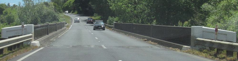
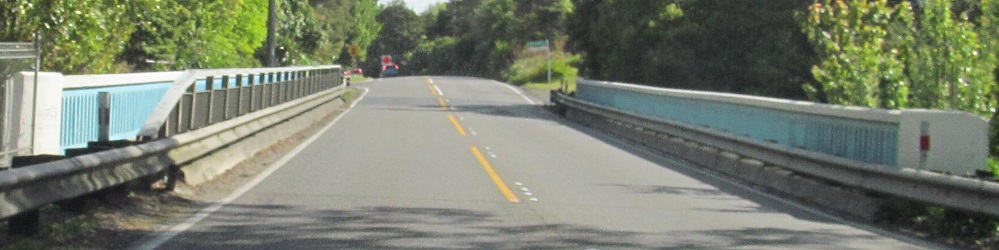
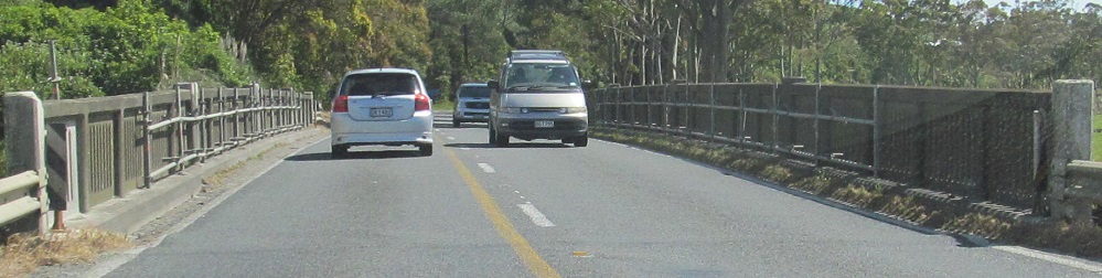
Across the Waiaruhe River.
Exit 398 to former NZ 1, Hibiscus Coast Hwy.
Back south on NZ 1
Back to NZ 1 main page
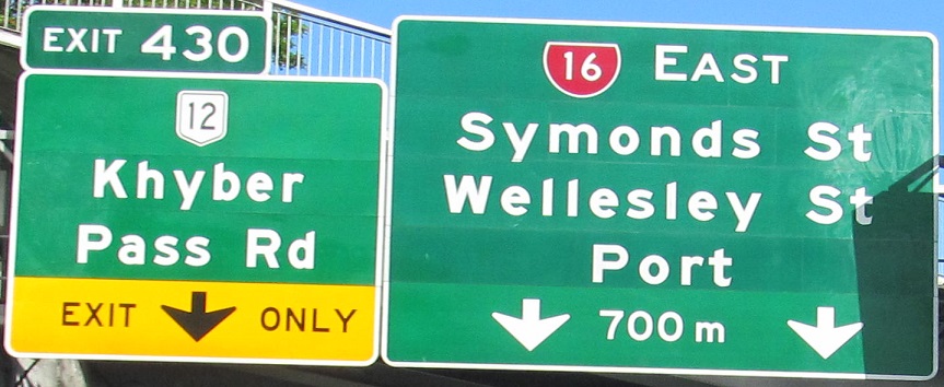
Exit 430 to Urban Route 12
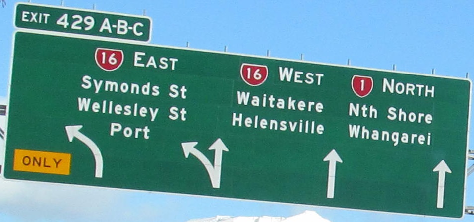
Exit 429 to NZ 16
Back to New Zealand Roads
Back to Roads