New Zealand Roads - NZ 1 - N. Island - Wellington
NZ 1 (North Island) in Wellington
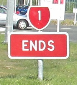
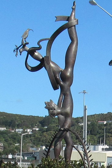
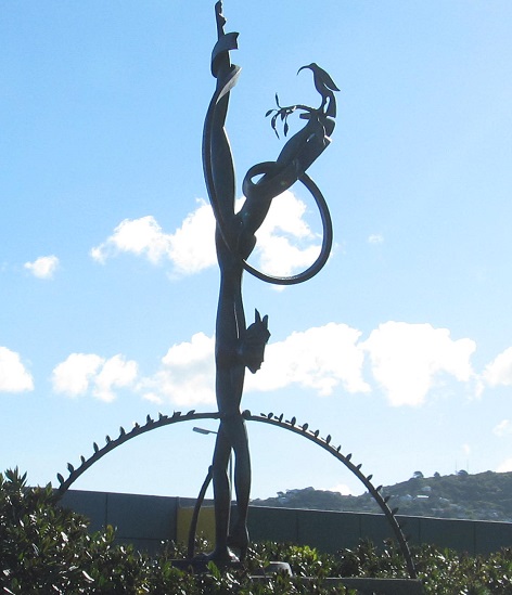
NZ 1 only ends here on the North Island, but there are several hundred km on the South Island to explore. The art in the centre of the roundabout at Broadway looks like a Ma̅ori native doing a handstand with a kiwi bird on his/her foot. Right now, that's the best I've got, because no combination of words is helping me find the actual name or artist.
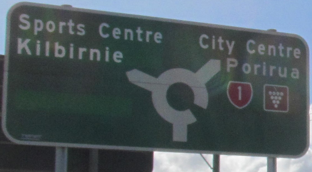
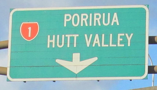
Everything except Porirua is a greenout, NB after the next roundabout up NZ 1. Going back to 2008, I can at least ascertain that the lower left greenout was Kilbirnie while the upper left read Rongotai, another neighborhood right off this roundabout leg. There was a lot of inexplicable space between the two as if a highway shield were once pasted in the middle, but that was clearly pre-2008 if at all. My best guesses for the other greenouts are that City Centre once read Wellington - either because the city limits were more confined, or because these other neighborhoods were considered separate from downtown - and the NZ 1 / wine trail overlays just a plain NZ 1 shield.
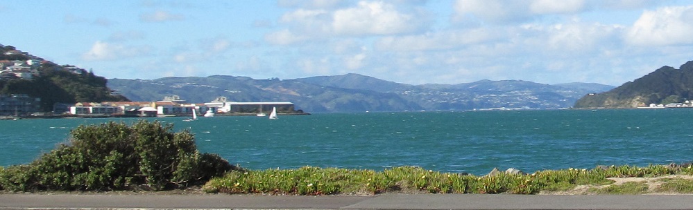
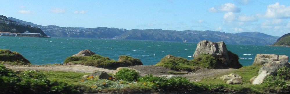
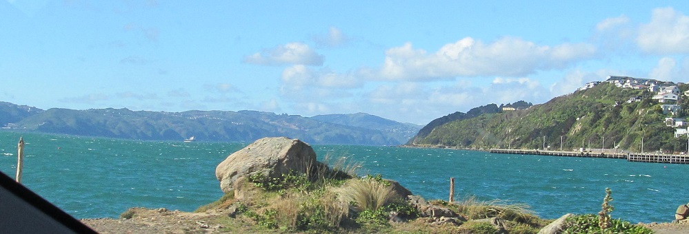
Views from north to south of Evans Bay.
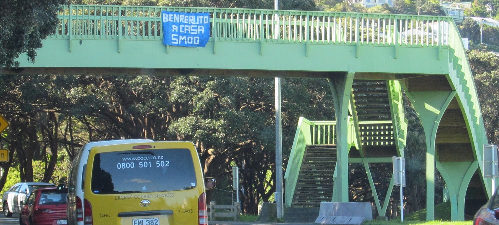
NB at a pedestrian overpass, approaching Taurima St.
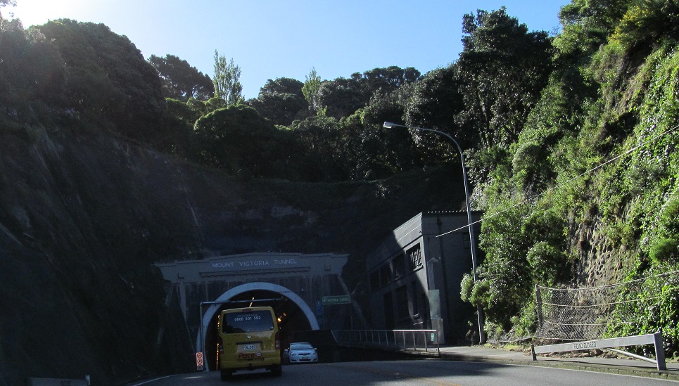
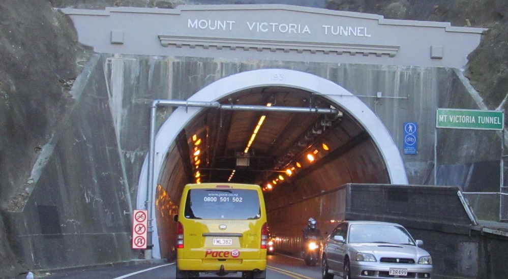
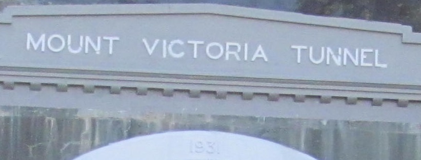
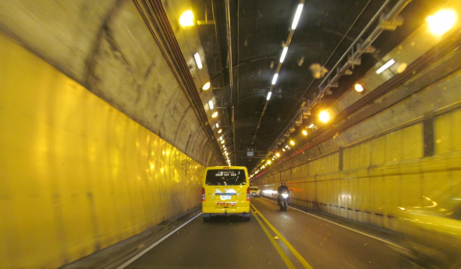

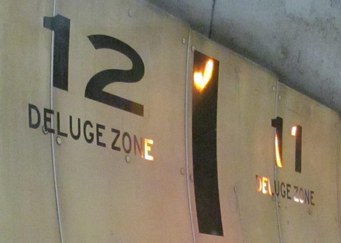
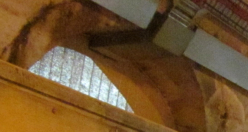
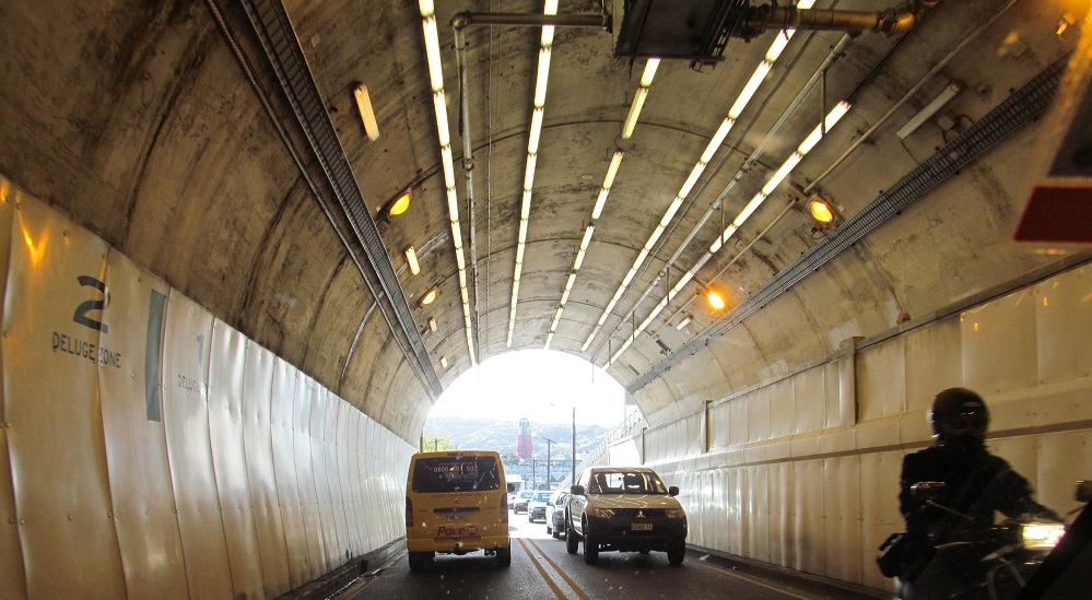
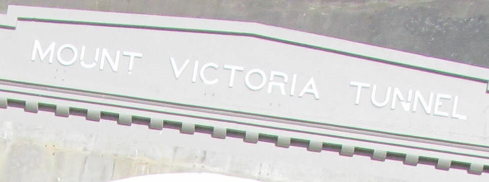
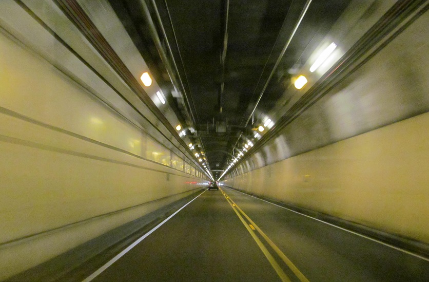
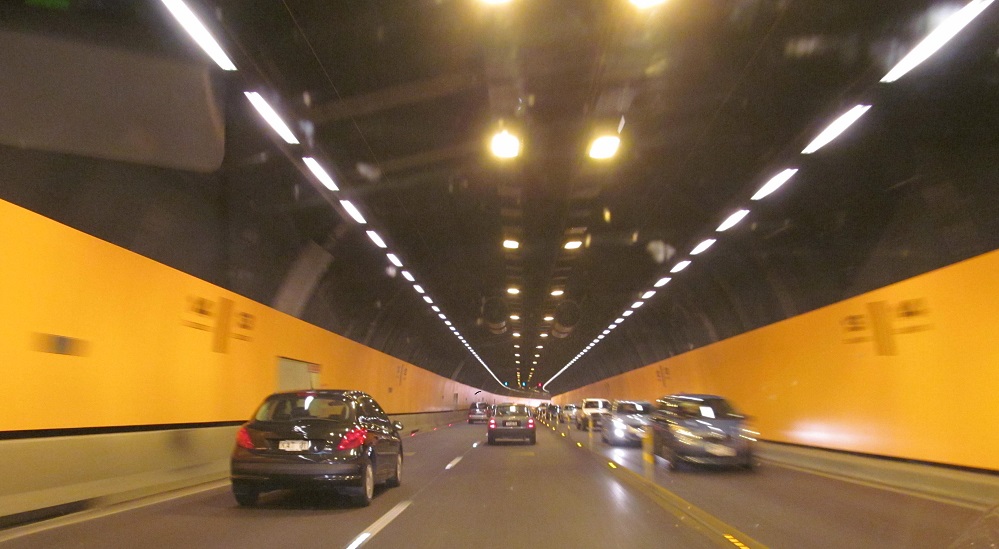
NB under Mount Victoria in the 1931 tunnel (thanks, green sign), with a small window to the outside (but don't get out to peek). Deluge Zones have nothing to do with flood avoidance, but are Kiwi for fire protection zones (i.e., if there's a fire, which sprinklers would be activated).
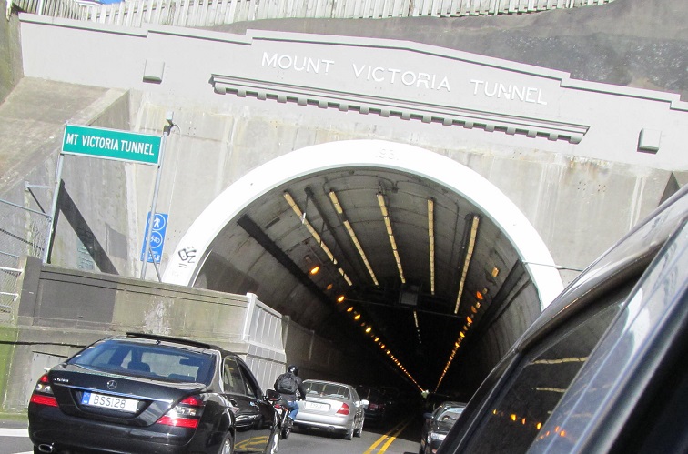
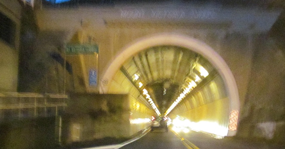
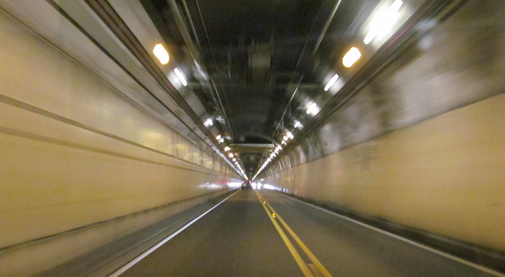
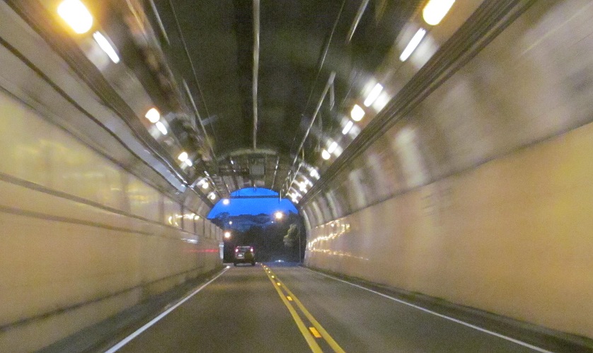
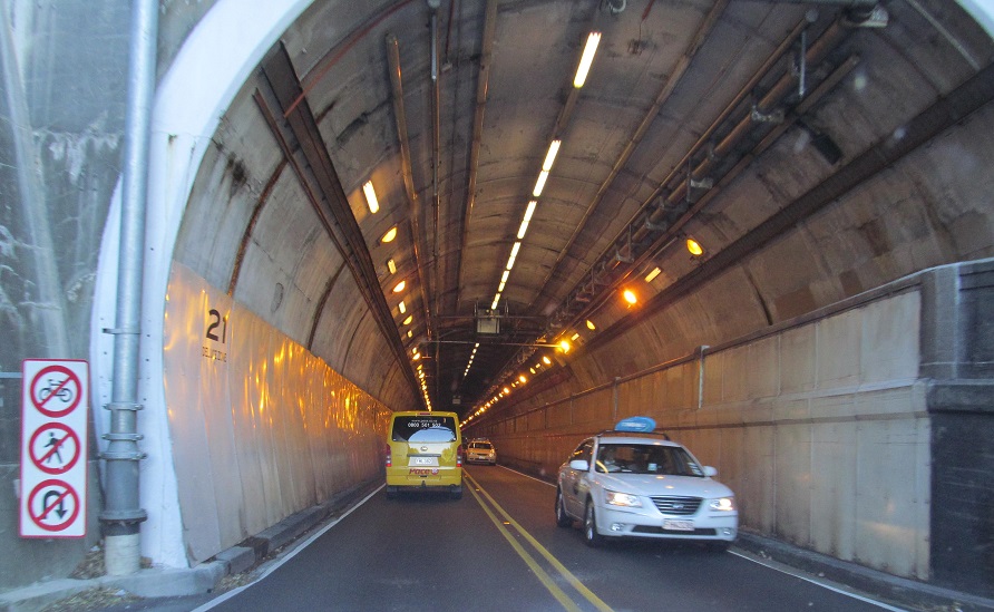
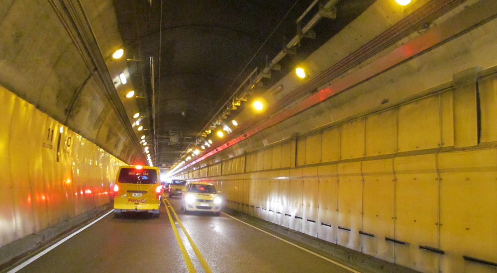
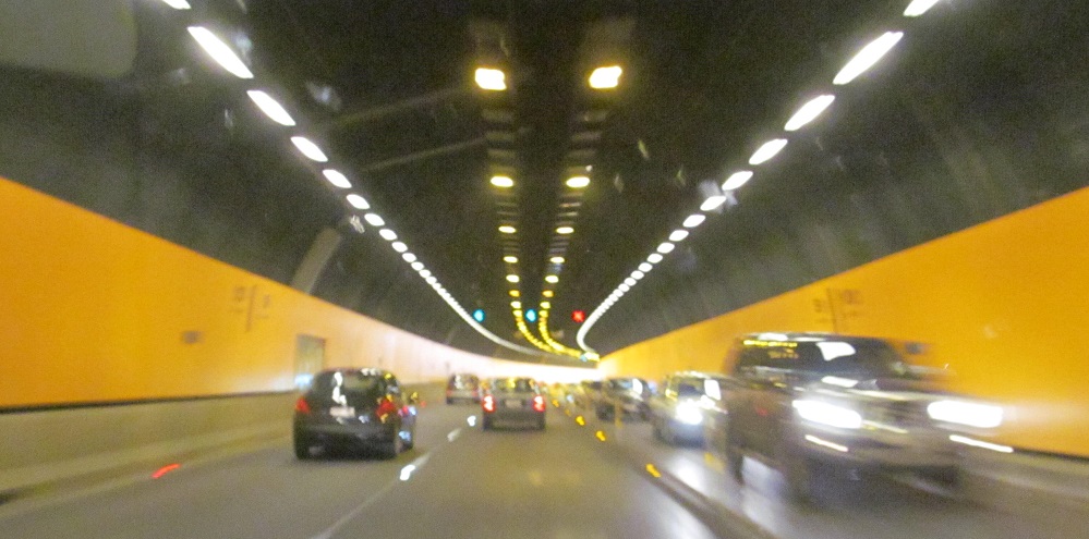
SB through same, mostly at a very early hour.
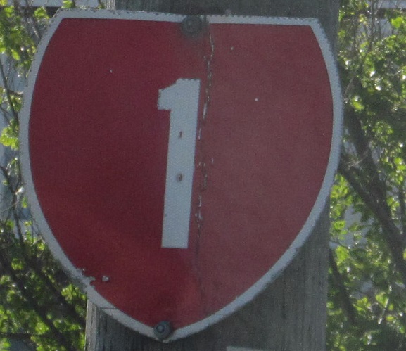
Older shield heading around the Basin Reserve square.
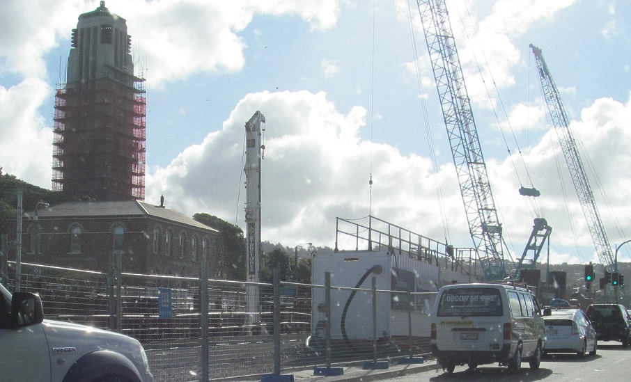
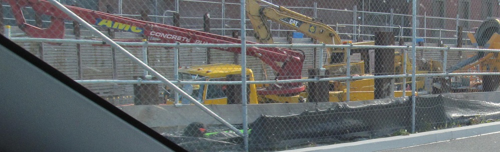
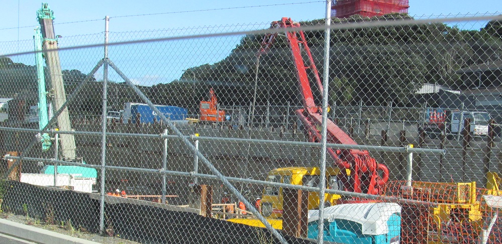
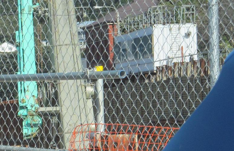
As NZ 1 NB exits the Basin Reserve onto Buckle St., there is heavy construction to my left. This is for construction of the Arras Tunnel, a cut-and-cover deal that opened in 2014 (I was there in 2013). The covered roadway is now topped by parkland in front of the historic Mount Cook Police Barracks and War Memorial.
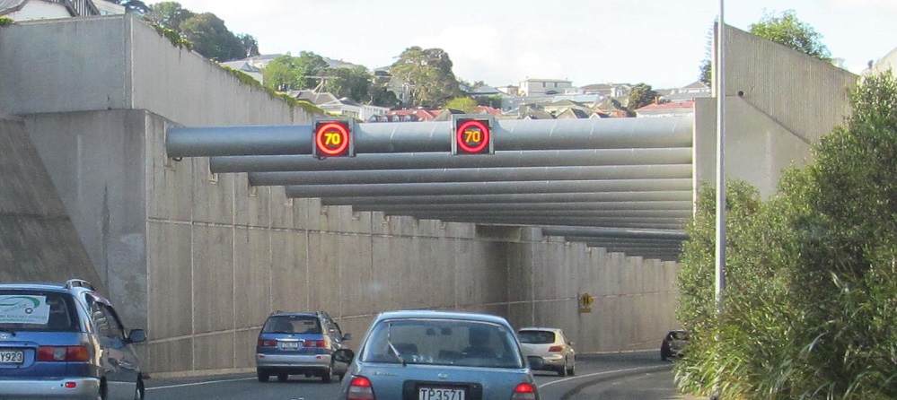
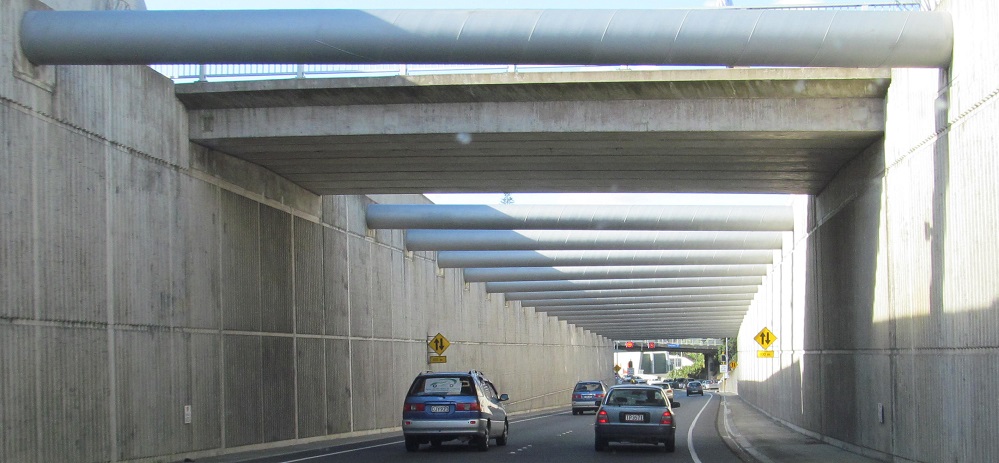
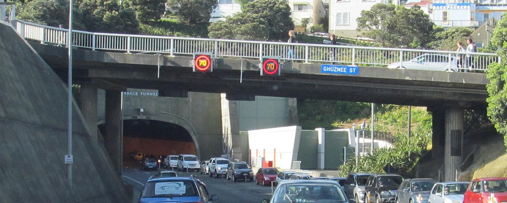
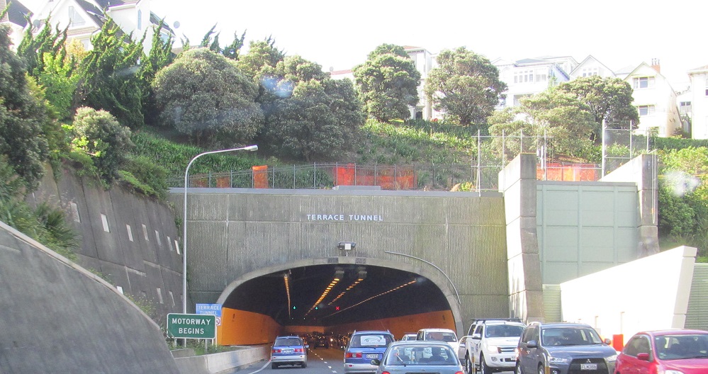
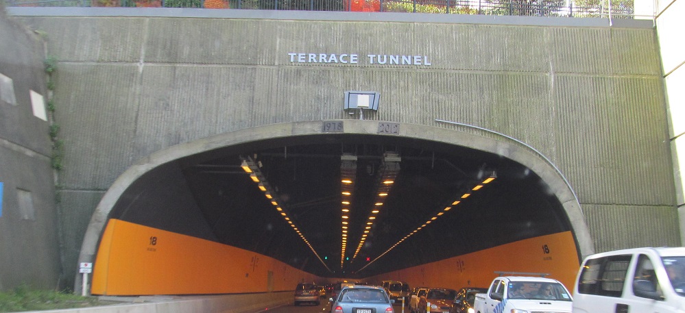
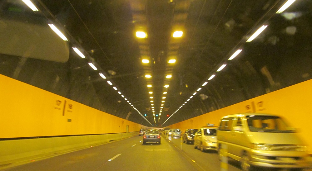
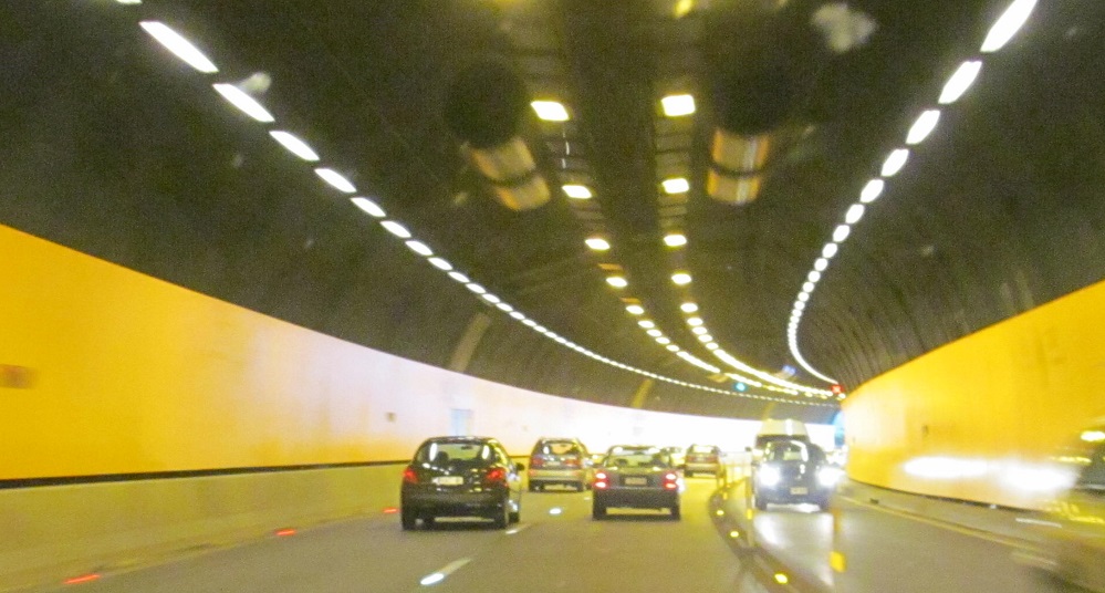
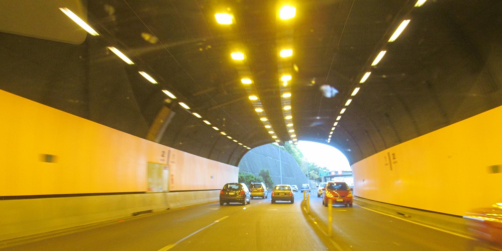
NZ 1 experiences several tunnels as a necessity of bypassing downtown closely instead of in the mountainous perimeter - where, to be fair, it would also have to go through tunnels. After undercrossing Buller St. in a trench where I think the overhead pipes help hold up the retaining walls, Terrace Tunnel is the very last before NZ 1 NB emerges as a proper motorway out of the city. (The sign says it's one now, but a 3-lane undivided road is unconvincing.)
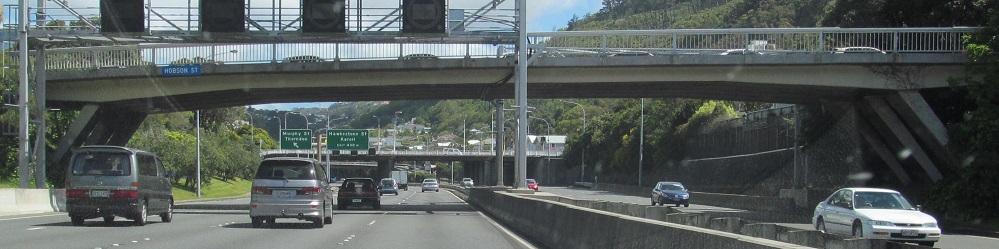
SB on the north side of Wellington proper at Hobson St.
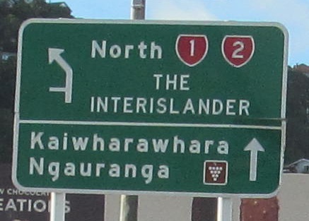
Signs new and old from Aotea Quay NB onto NZ 1. The Interislander Ferry is to the right, which de facto carries NZ 1 between North and South Islands, although there is clearly more NZ 1 in Wellington south of this point. NZ 2 has not at all begun yet and "North" should be capitalized. The second sign is on the Quay ramp toward the ferry.
Continue north on NZ 1
Continue south on NZ 1 to the South Island
Back to NZ 1 main page
To NZ 2
See more of Wellington
Back to New Zealand Roads
Back to Roads