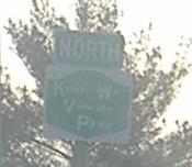
New York Roads - Richmond Pkwy. - W. of Richmond Av.
Richmond Parkway west of Richmond Avenue
Credit goes to Scott Colbert, who gave me many photos to establish my original Richmond Pkwy. page before I was able to get out there myself.
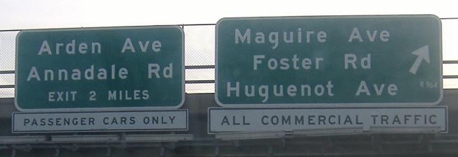
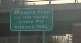
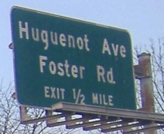
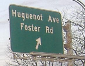
Commercial traffic from the Outerbridge Crossing gets a chance to exit, and those lucky passenger vehicles get a sign that doesn't need to be there anymore. Or maybe it does, considering I still won't give in to the renaming, but with shields like in the second photo I think the message is clear enough.
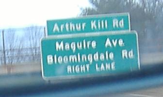
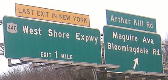
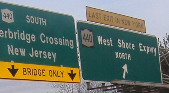
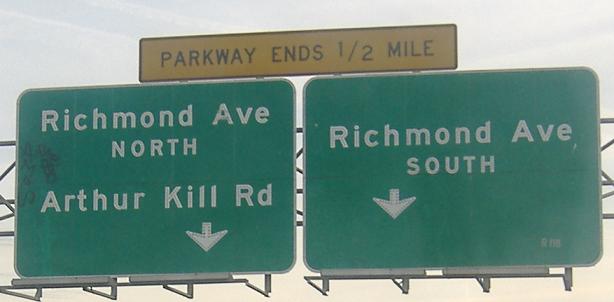
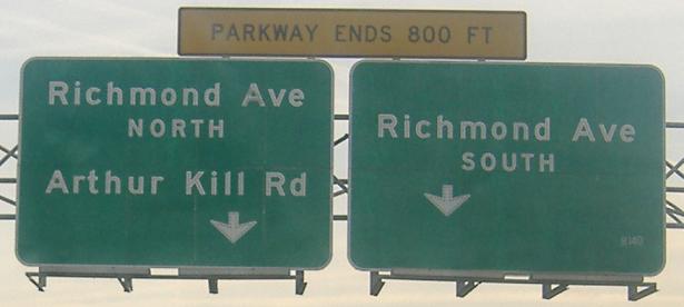
All of these southbound signs were either taken over my shoulder or in my rearview mirror. The one new sign out of the bunch is the only one that's wrong - that is, if you ignore the NJDOT shields (i.e. with black background) on the old signs. Usually the Port Authority does a better job than this - this looks more like a DRPA job from the Philadelphia area.
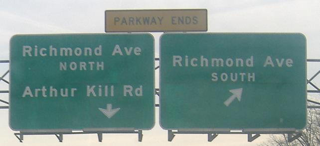
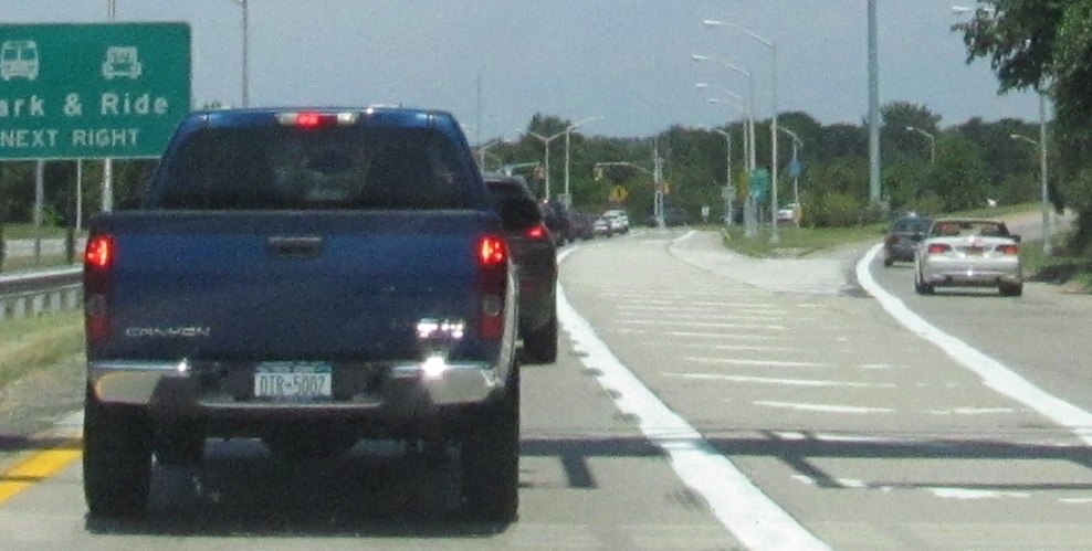
The NB Parkway runs out of time and runs into Richmond Ave. The left branch until recently was striped for two through lanes in each direction, as it was the through route for NY 440 before the West Shore Expressway opened. The Park & Ride got greedy, though, and wants traffic going between any two points in this interchange to follow a single lane.
All southbound, again all taken out my window (traffic was incredibly light).
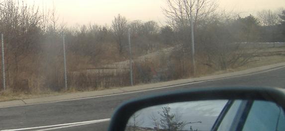
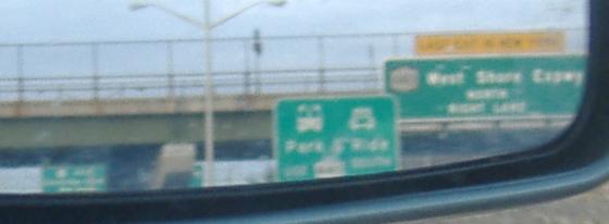
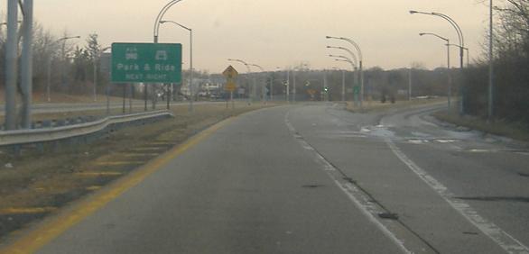
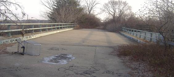
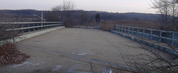
As I pull into the Park & Ride, here is the view straight ahead (but behind a fence) of the northbound lanes that wish they could take me up to the Staten Island Expressway.
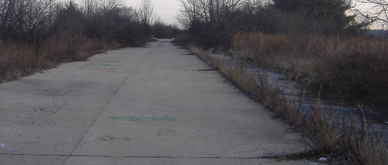
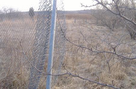
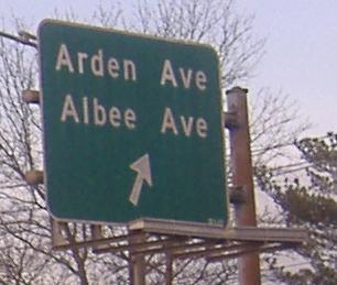
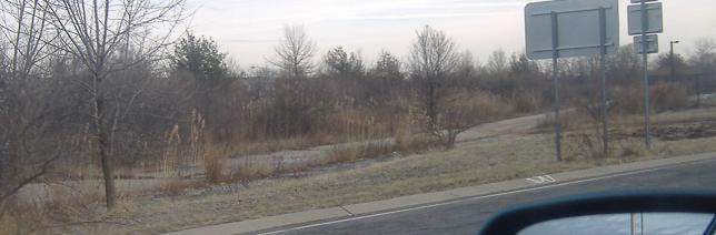
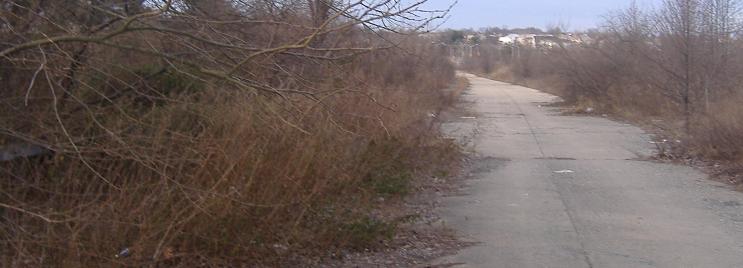
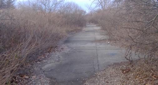
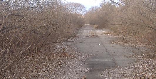
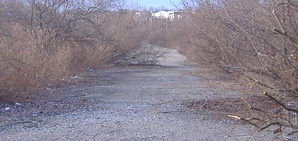
Walking north in the northbound ghost lanes, paved in concrete with an asphalt shoulder and slowly turning into grass. The first overpass is for Arthur Kill Rd., and the second diagonal one is for Richmond Ave. Through the fence that marks the end of pavement, the additional guiderail with posts marks the actual end of Richmond Pkwy. right-of-way.
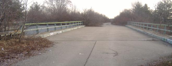
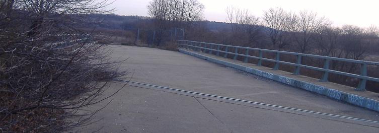
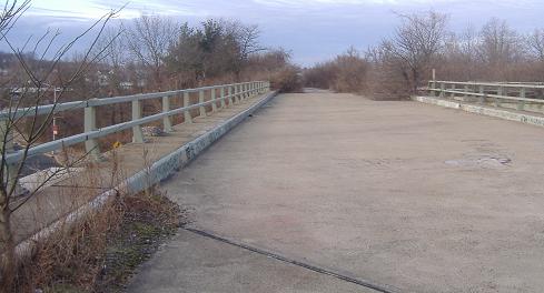
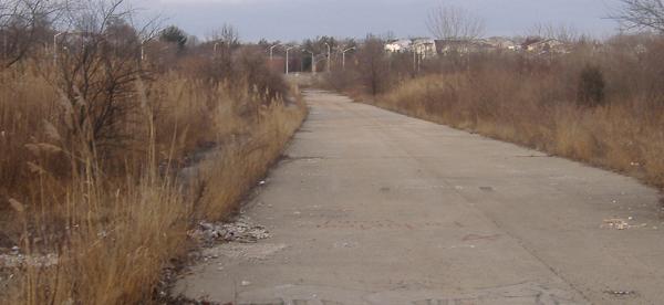
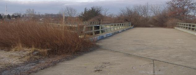
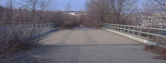
Looking west from the NB to the SB overpass over Richmond Ave.
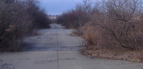
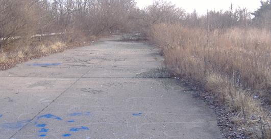
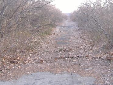
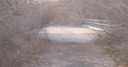
Now walking south in the NB lanes, retracing my steps back to where I started and using a zoom lens toward the end of the stub at the currently traveled road. In the next-to-last photo, a bit of original box girder guiderail peeks out of the trees to the left. I'm sure glad I didn't try to walk this in the summer.
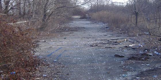
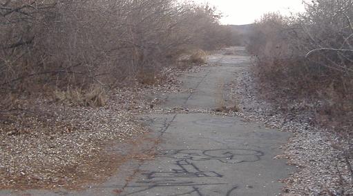
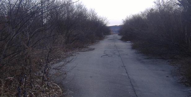
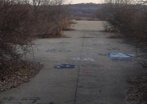
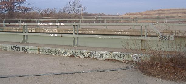
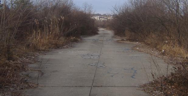
Over to the SB lanes, walking north once again toward the northern end of the ghost freeway. (In reality, I just pivoted and took one photo in either direction at each point, so I didn't have to retrace my steps.) Vagrants and drunken youths seem to like the SB side a lot more - it was filled with broken glass and had more graffiti, and you can see in the third photo that someone was having fun with a shopping cart race (at least, I can't think of what else to do with a cart on an open highway).
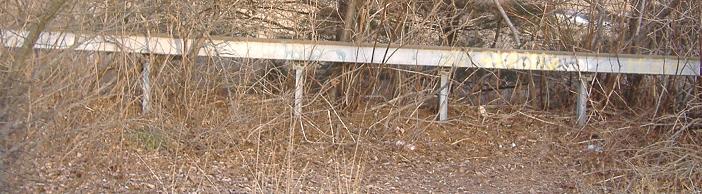
Looking to the left during that run, here's an unobstructed view of guiderail that could still take a good hit today.
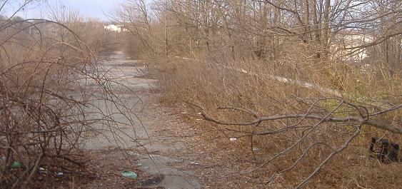
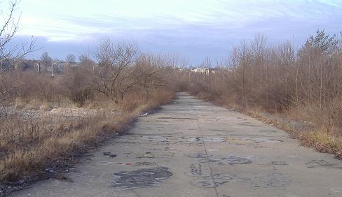
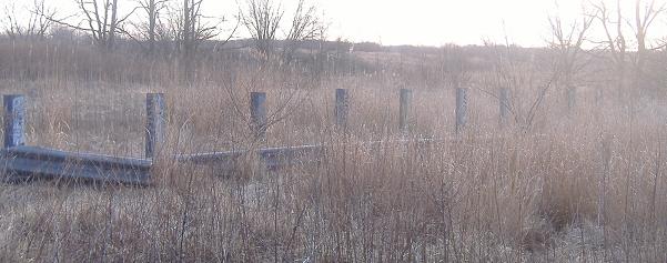
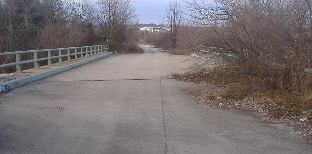
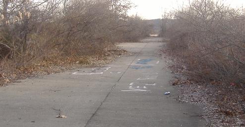
Back to the top of the SB ghost lanes, walking southward to the Park & Ride lot to finish my tour. Notice all of the debris between the two overpasses (which are slightly farther apart on this side due to the diagonal orientation of Richmond Ave.) and again note the sad state of affairs to the south.
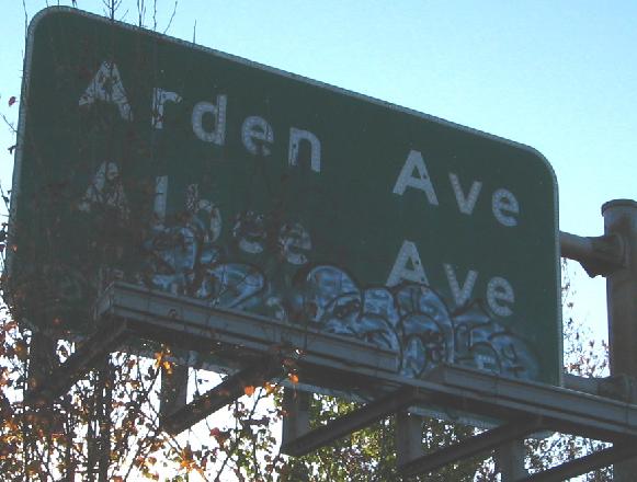
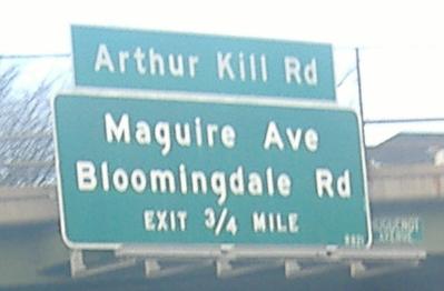
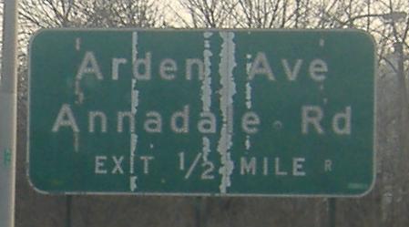
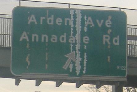
Saving the best for last, this ľ-mile advance sign was for through traffic that never existed. The exit itself does serve through traffic coming off of Richmond Ave. SB, but this sign was on the SB ghost freeway. Because of the uselessness of the sign and its attractiveness to unsavory sorts, it was removed before I got to explore here. This is the remaining photo on this page from Scott Colbert's visit to the stubs.
Continue east to the abandoned I-278 interchange
Back to Richmond (Korean War Veterans) Pkwy. main page
Onto the Shore Front Drive stub at the Park and Ride
Onto NY 440
See more of Staten Island
Back to New York Roads
Back to Roads