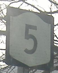
New York Roads - NY 5 - E. of Little Falls
 east of Little Falls
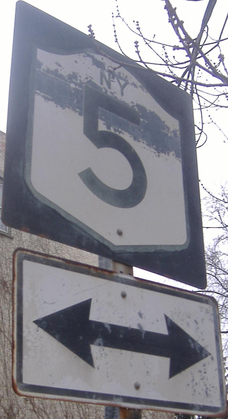
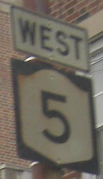
Normally shields don't have yellow backgrounds. This one's because of a weight limit over the Erie Canal, but that's no excuse.
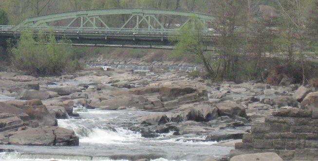
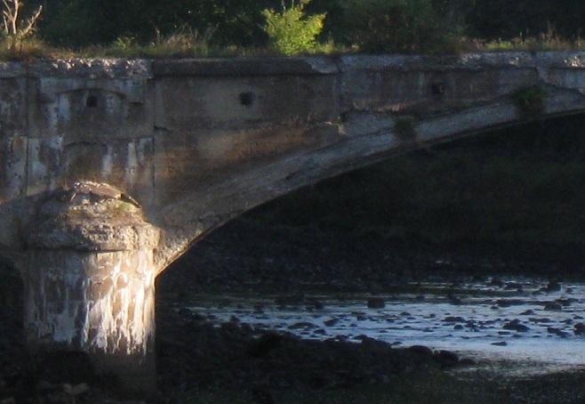
A former mill dam is in the foreground of this zoomed photo, and the Hansen Island bridge is in the background. This and the previous one were taken from W. Mill St. under NY 167, a block south of NY 5.
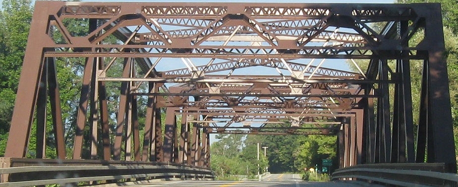
WB across East Canada Creek at the Herkimer County line.
Looking south at a parallel railroad bridge.
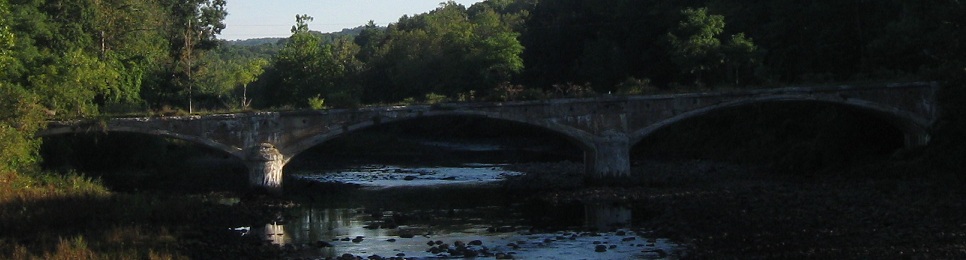
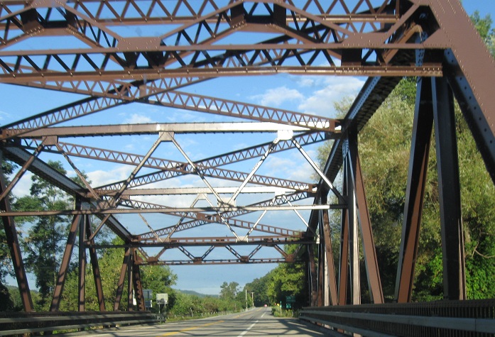
Now looking north at an even more interesting bridge, original NY 5. In its advanced state of deterioration, the only traffic it's allowed to carry is small mammals and flightless birds. Even the deer get ticketed.
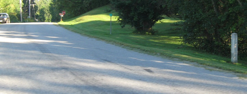
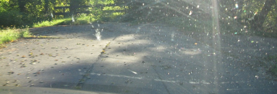
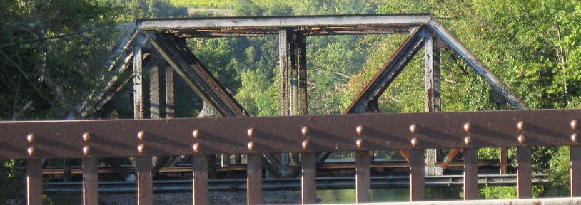
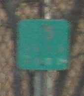
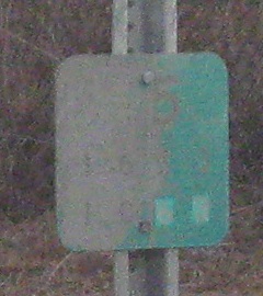
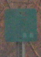
Old State Rd. WB at East Canada Creek up to the closed bridge. Sadly, that's not an ancient reference marker in the first photo, just a green reflective square, but you do get an old guiderail post in the foreground.
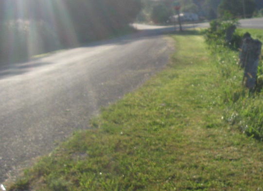
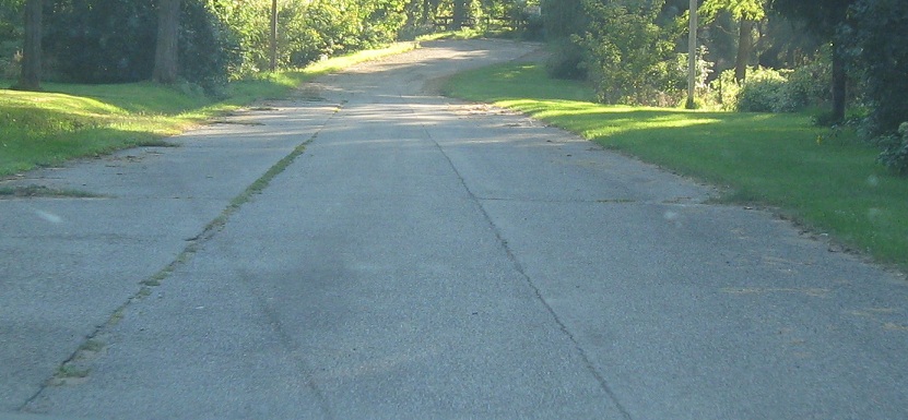
Looking east where Old State Rd. rejoins the current state road, and a second eastward view west of the creek from Snells Bush Rd.
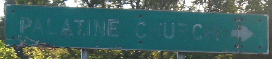
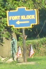
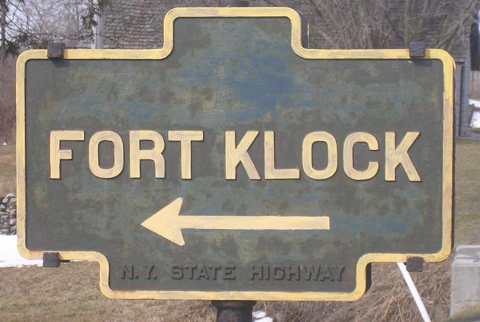
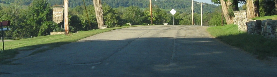
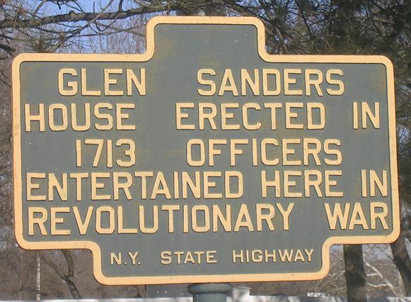
WB at Palatine, just east of St. Johnsville, at an old alignment (Old Mill Rd.). There's more to see on it, so click over at the big link at bottom. You can also click right here on the Fort Klock sign to see a closeup courtesy John Krakoff.
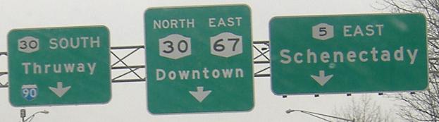
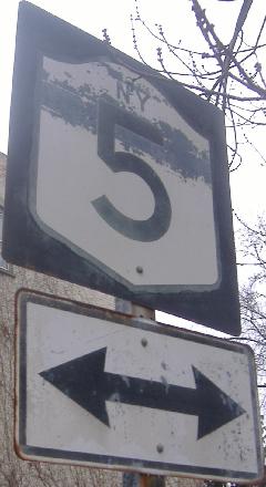
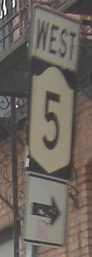
EB approaching NY 30 (and the end of the NY 5/67 duplex) in Amsterdam, and then WB at NY 30 SB. These aren't old signs, but the arrangement of shields and arrows leaves much to be desired.
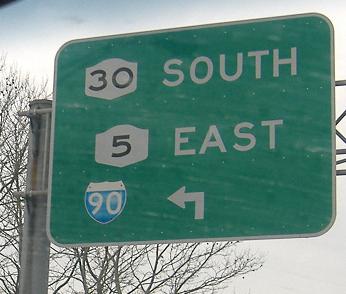
EB past the NY 30 bridge, this button copy sign is here as an extension of a gantry for the NY 30 NB offramp; visit the NY 30 page linked below to see the rest of the gantry.
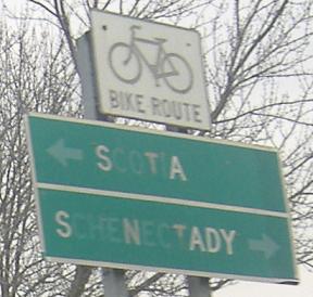
Two more old signs, now in Scotia, first photo courtesy John Krakoff.
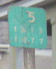
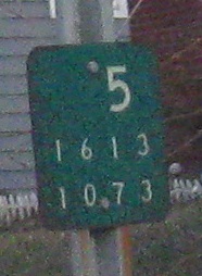
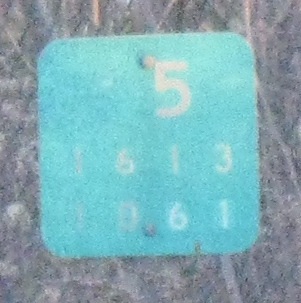
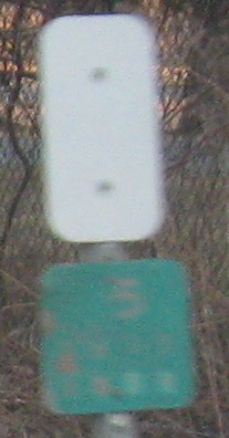
A parade of old reference markers guides motorists west from NY 50 to NY 890. NYSDOT used to employ child labor to affix those tiny numeral patches on the reused markers, but thanks to new labor laws, they now employ midgets and trained cats.
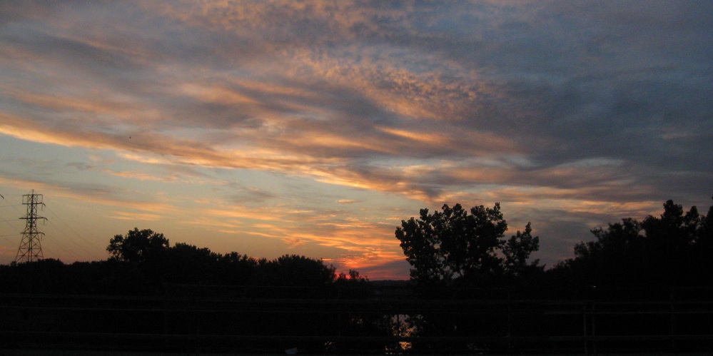
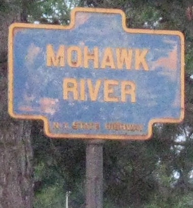
Sunrise over the Mohawk River in July (so, to the north).
Exiting the Schenectady County Community College onto NY 5 East. This sign is so old it dates to before there was an underpass to the westbound side. Now traffic is forced right.
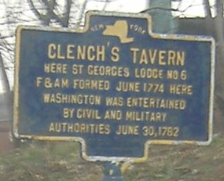
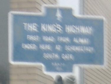
Both on the westbound side, but on opposite sides of Schenectady (you see the second one as you enter the city from the east). For some reason the King's Highway letters have faded to white but Clench's Tavern is still gold.
Church St. SB has the first NY state-name shield I've seen in person, but thankfully not the last. Click for a closeup of this roadgeek treasure.
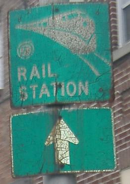
So old I can't make out the logo, but it sure isn't Amtrak. Eastbound approaching Erie Boulevard.
Getting progressively newer with the signs, first heading west from Erie Blvd., and then on Erie SB. The first sign still has New York's old font, but is just barely too new for the state initials.
Newer still, these signs were just replaced in the same color scheme of the original: gold on black (Albany's colors), instead of white on green.
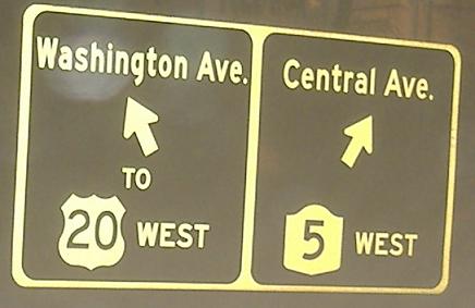
Taken from Washington Ave. EB at that same intersection.
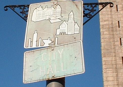
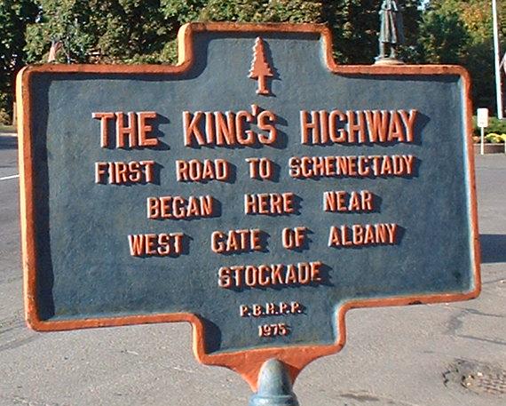
On NY 5 WB near City Hall in Albany (just west of 5's end). Finally, in 2007, I've paired my beginning and ending signs for the King's Highway.
Continue west on NY 5
NY 12 and NY 5/8/12
I-790 and 790/NY 5
Back to NY 5 main page
Old NY 5 in Palatine
Old NY 5 in Tribes Hill
Onto NY 80
Onto NY 30
Onto NY 67
To the New York Thruway, I-90
The Albany Road Meet
See more of Schenectady (city and County)
Back to New York Roads
Back to Roads