New York Roads - NY 30 - Blenheim and S.
NY 30, Blenheim Bridge and south
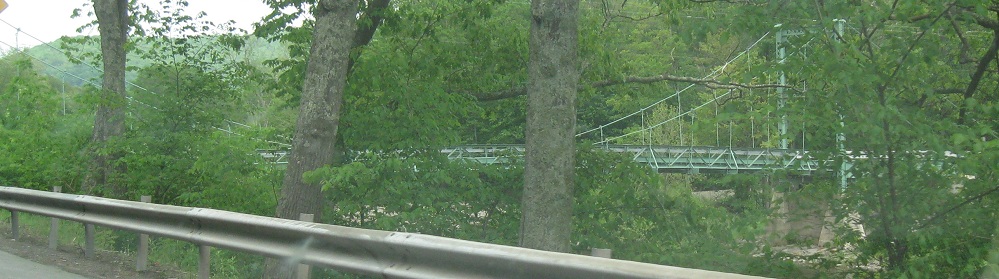
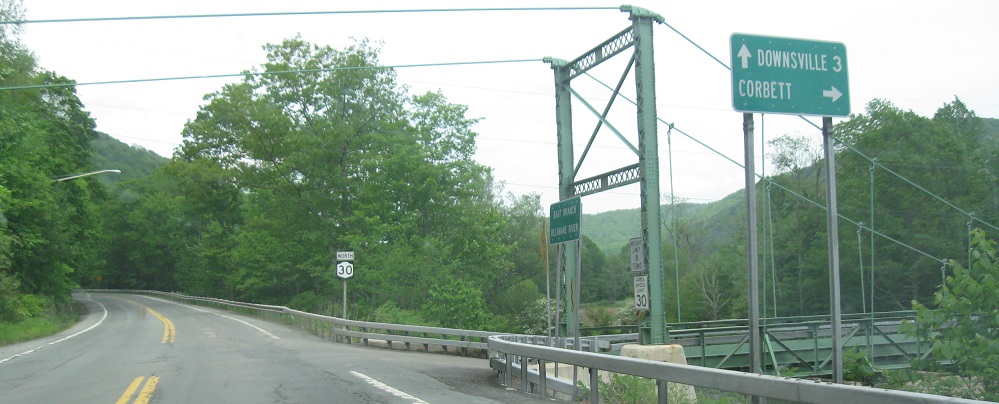
From boring Harvard to interesting Corbett, where Corbett Rd. crosses an unusual suspension bridge. Because the towers are at either end of the river, there's nothing to support beyond them, so the cables just go straight into their supports instead of being weighed down in a catenary shape.
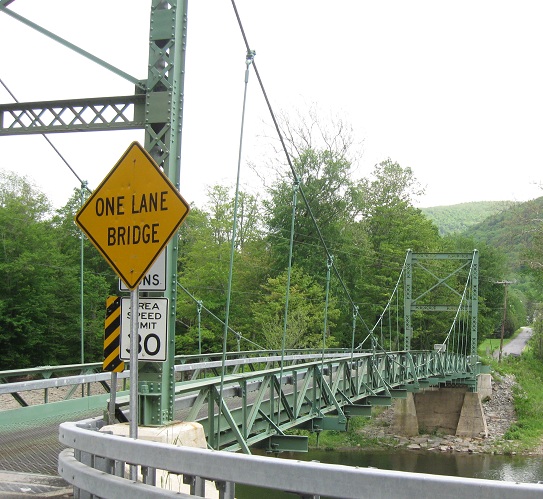
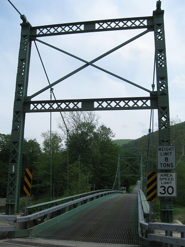
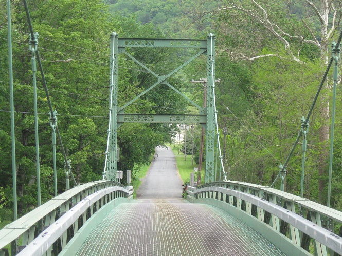
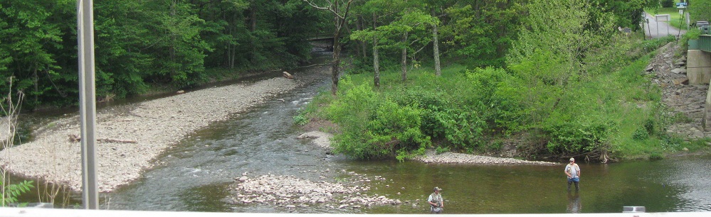
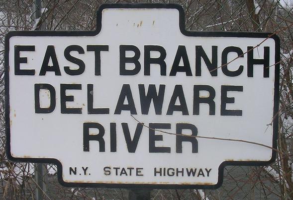
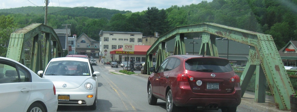
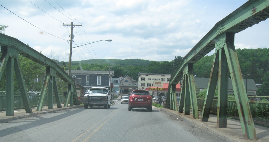
Looking east along the bridge and just north of it, where the East Branch Delaware turns away.
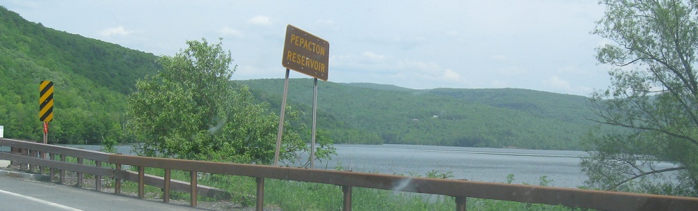
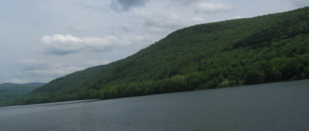
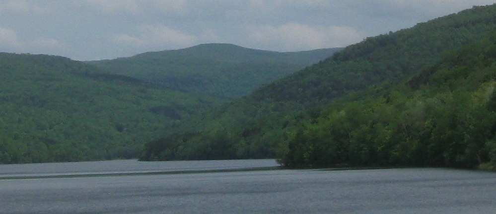
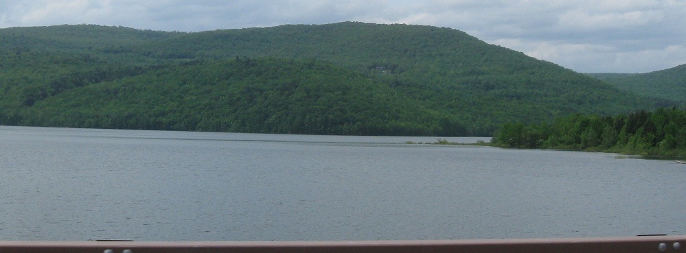
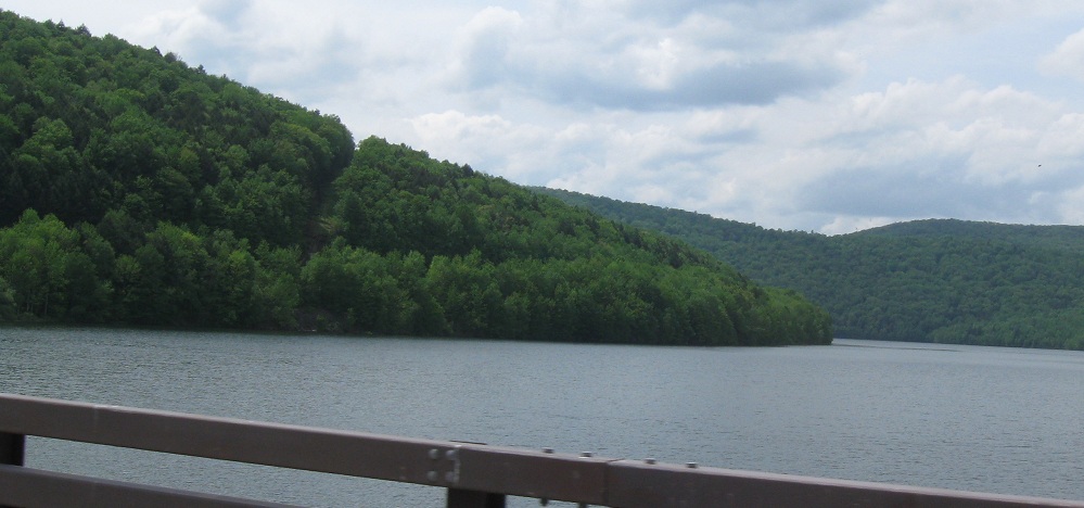
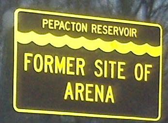
Skipping Downsville and NY 206 (see big link below, which includes a nice covered bridge), this is one of NY's several reservoirs that has swallowed several towns (four, with a total of 1,000 people in them - they were moved out of the way first). It supplies Ľ of New York City's drinking water via a series of reservoirs and aqueducts. All photos look north and east.
In Margaretville, Main St. SB at Fair St. just southwest of the NY 28 junction, courtesy Michael Summa from 1975, followed by an even older sign photographed in the present day by John Krakoff. I know the first sign uses an older font, but the 3 and 8 look like they were flipped vertically. I checked it out - it's just that the loops are identical size, whereas in most fonts the top loops are smaller.
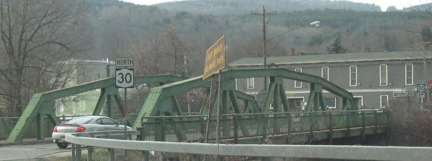
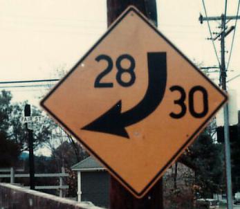
Crossing the East Branch Delaware River after spending so much time along it, leaving the intersection with NY 28 that you'll see in the other direction below from Michael Summa. In the back of the first photo is a new-style NY 30 shield that contrasts poorly with the old style in the foreground.
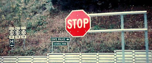
Courtesy Michael Summa, SB at NY 23 and then NY 28 in 1975. The letters and numbers on the green signs may look subtly different - the notched 2 being the most obvious - and that's NY's old font. Michael called it the "Thruway font", but clearly this has nothing to do with the Thruway. The STOP sign is on what are known as Z bars, a type of support system usually used for route shields (they're there in the background of that photo too).
NB and SB at an old alignment of NY 30 that goes through said town.

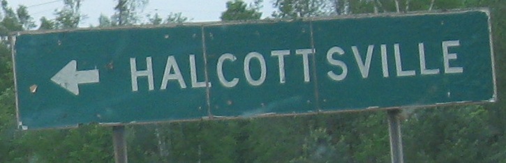
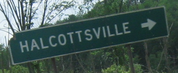
Heading north through Roxbury.
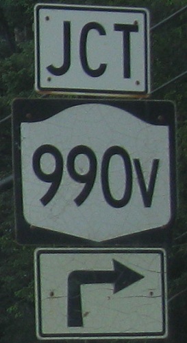
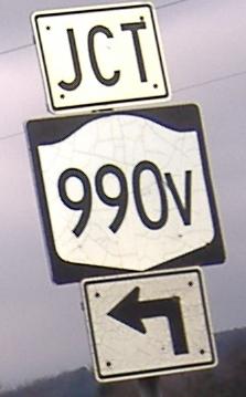
Northbound and southbound, respectively. NY 990V is by far the best signed of the routes that are supposed to remain secret, with a detour sign on NY 23 at one point and full signage in all directions at NY 30. Here, especially from the NB arrow, you can see that this route was signed many years ago and the signs have persisted. No new error is this.
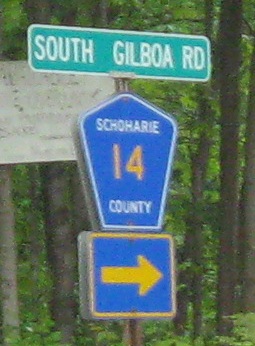
Similar shields, SB just south of 990V and NB just north of it.
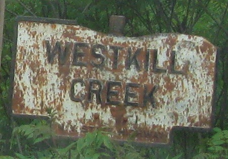
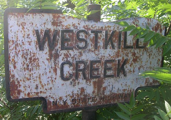
Take a bite out of sign! Take an even bigger bite by clicking for closeup courtesy John Krakoff.
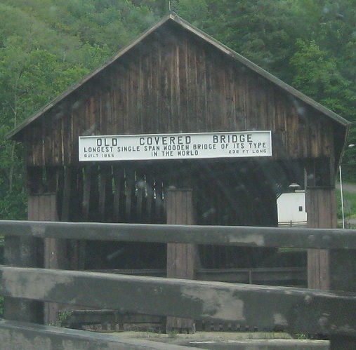
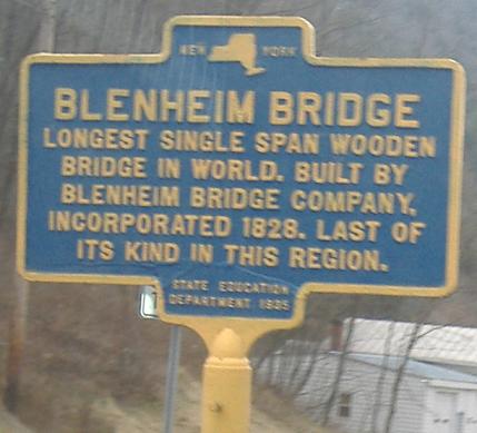
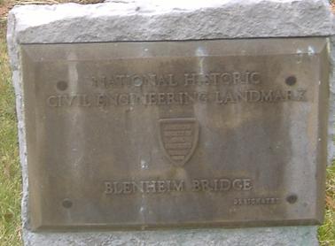
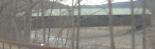
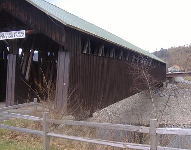
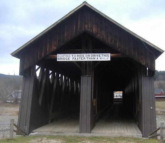
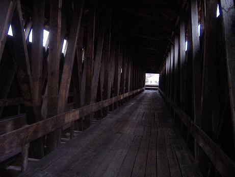
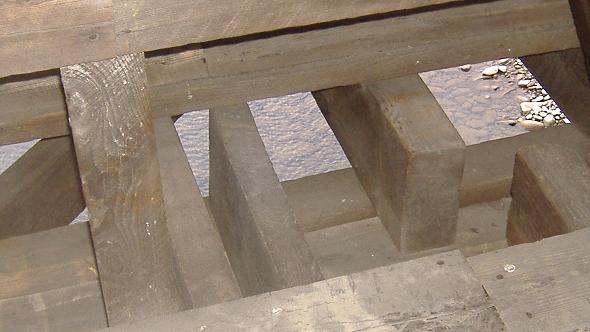
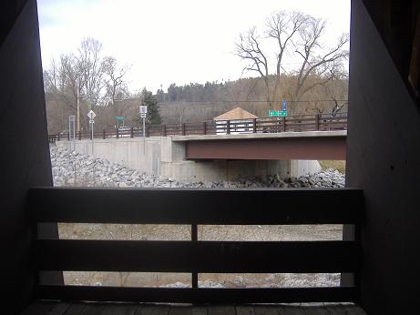
They sure don't make 'em this way anymore - not connecting to dry land, that is. The Blenheim Bridge, built in 1854, was the longest single-span covered bridge in the world, at 232 feet long and 210 feet suspended over Schoharie Creek. The reason it doesn't connect to anything at the western end is because the bridge was extended in 1869 to cover a new wider channel that was the result of a heavy spring thaw, possibly combined with rainfall. That extension was subsequently replaced by an iron extension, which simply doesn't have the life of a wooden bridge (somehow). When the bridge was bypassed in 1931 on an alignment closer to the current NY 30 bridge, the covered part was kept as a historical landmark. Unfortunately, Hurricane Irene ruined those plans in 2011, leaving just some photographs and the next big link below.
"Drive" the Blenheim Bridge eastbound in this video
Continue north on NY 30
NY 206 and NY 30/206
Back to NY 30 main page
Onto NY 28
Onto NY 23
Onto NY 990V
See more of Delaware County
Back to New York Roads
Back to Roads