New York Roads - NY 27 - NYC/Nassau Co.
 , New York City and Nassau County
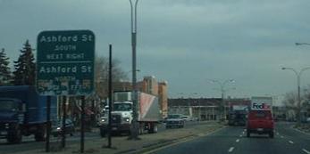
Above: Linden Blvd. WB and EB, respectively, just west of Conduit Blvd., Queens.
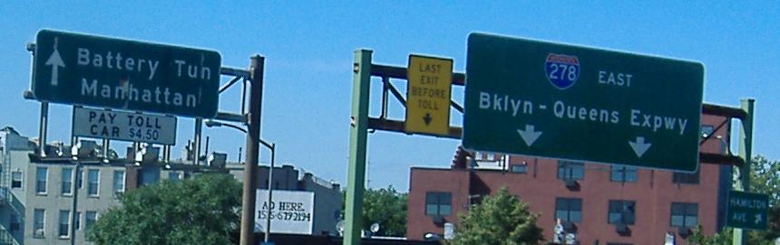
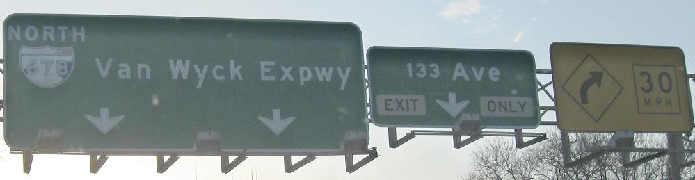
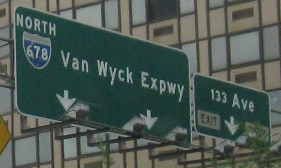
WB on NY 27 and NB on the Prospect Expressway, as these both end at I-278 and the Battery Tunnel (aka I-478).
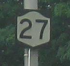
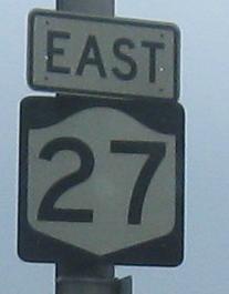
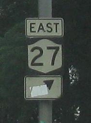
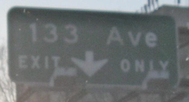
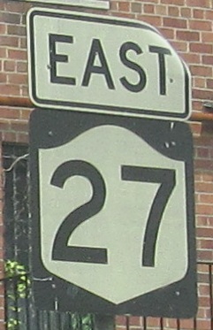 First EB shield after the Prospect Expwy. ends.
Eastbound on Linden Boulevard in Brooklyn (still not the Sunrise Highway yet), courtesy Doug Kerr.
An EB Brooklyn photo of my own taken at E. 91st St. There are a few exit numbers off of Linden Blvd., specifically on one stretch a little west of Conduit Blvd., but there are no interchanges, just ramps to the outer ("frontage") roads.
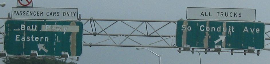
EB on Conduit Blvd. with a very wide median that is clear for over a mile. It was supposed to hold I-78, the Bushwick Expressway, but even though that concept has long died, nothing happens in the median until NY 27 dips down, ready to begin the Nassau Expressway (NY 878). What could have been under the patch on this sign? Declan Hughes informs me it's a flip panel that says CLOSED for the rare times a park would be closed.
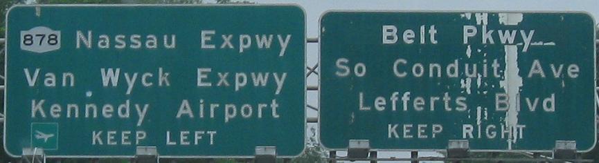
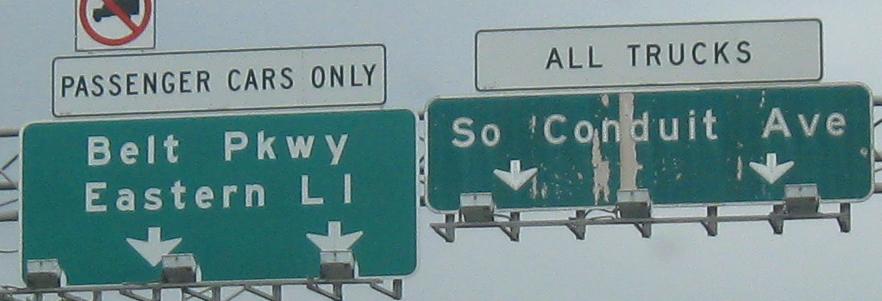
EB past the beginning of NY 878; the third photo is just a closeup of the right (button-copy) sign in the second as NY 27 exits back (left) to the surface.
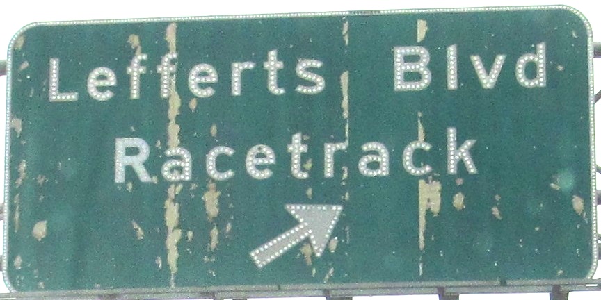
More buttons on Lefferts Blvd. NB.
I'm on the NY 27 EB level of this stack. The Nassau Expressway (878) flies overhead, and then the top level is the ramp from Belt Parkway EB to NY 878. The second level is only the EB direction of 878, because WB ends over a mile to the east. This was supposed to be a doubled overpass with a WB direction, and then the freeway would have continued up Conduit Blvd. as I mentioned above. Now it's the only official one-way Interstate according to the FHWA, but NY just signs it as a state route.
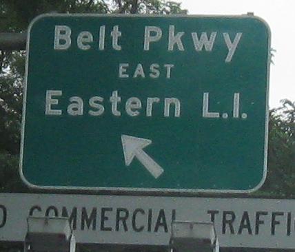
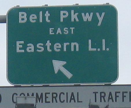
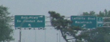
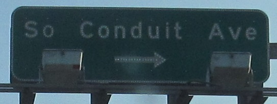
EB along the side of Belt Parkway, still Conduit Ave. The last two photos are of different entrances, one before and one after Springfield Blvd.
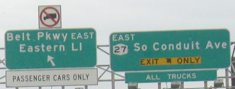
The first entrance (third photo above) has been reduced to this atrocity. This is harder to read than non-reflective nighttime button copy (at least aesthetically).
You do get some old signs if you head toward I-678, most likely because traffic passing under these signs is also coming (separately) from NY 878 and Belt Pkwy. WB.
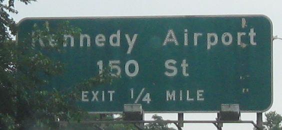
Westbound on Conduit Ave., second photo courtesy Mike Byrnes, and the location is courtesy Declan Hughes: at 150th St.
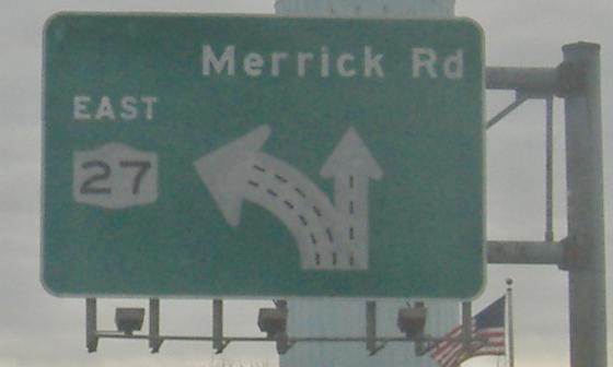
Once again EB, now legitimately on the Sunrise Highway. Merrick Rd. is old 27, and later on becomes 27A.
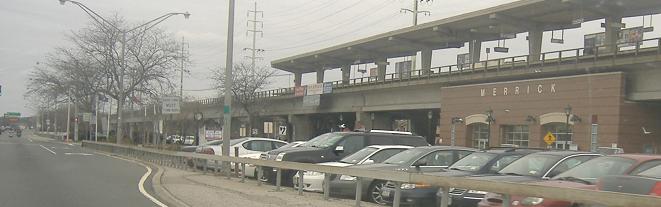
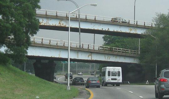
The LIRR runs along the north side of NY 27 for several miles, completely on elevated structure (even the stations, as you see). This provides ample room for parking and lets local traffic through whenever it wants, but is quite costly.
Last interesting assembly (EB) before the Suffolk County line. There are a lot of signs here, and the "Entrance" looks most out of place. It's unnecessary.
Continue east on NY 27
Back to NY 27 main page
Merrick Rd., old NY 27
Into the Battery Tunnel
Onto I-278
Onto Hamilton Ave. under the Gowanus Expwy.
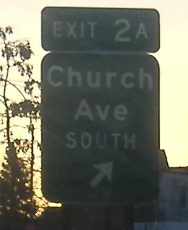
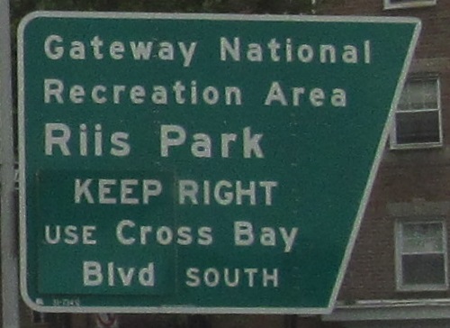
Onto Cross Bay Blvd.
Onto NY 878
Onto Belt Parkway
To I-678
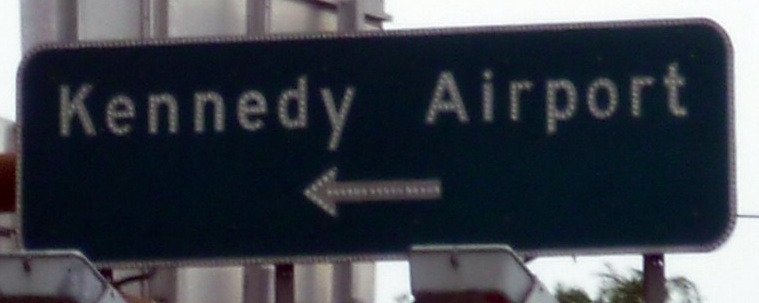
Into Kennedy Airport
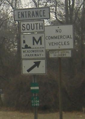
Onto Meadowbrook State Parkway
Into Brooklyn
Into Queens
Into Nassau County
Back to New York Roads
Back to Roads