New York Roads - NY 27 - Suffolk Co.
 , Suffolk County
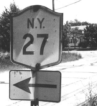
Above: Courtesy Michael Summa, on the old alignment in Amagansett in 1975.
Eastbound in the mixed signal-interchange area before the freeway begins, first photo at CR 47 courtesy Mike Byrnes. All of the shields are typical on Long Island; compare the regular Suffolk CR shield to the newer style on the BGS's. It's growing on me to remove the word "COUNTY" from BGS shields in order to maximize room for the number. I would rather see the county name above the number for consistency with the standalone shields, and narrower shields for numbers as low as 3.
 WB on the frontage road.
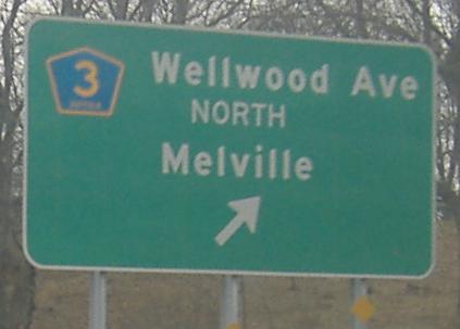
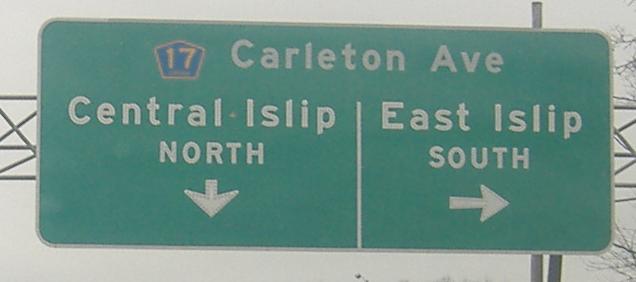
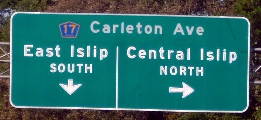
Now the Sunrise Highway has become a freeway, although it's never the Sunrise Expressway. The last two photos are on the EB service road (hence the sharp right on a freeway), and the third photo is courtesy Mike Byrnes. Note the use of North and South instead of the proper NORTH and SOUTH.
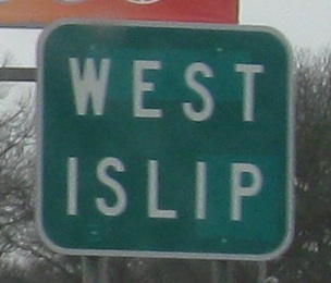
Two more Mike Byrnes photos, on the WB service road.
Still EB, showing that the original text was replaced every time the new CR shield appears. The last two photos are once again on the EB service road; very little of the freeway lacks service roads. The Sunrise takes over the function of the Southern State Parkway, which ends at the Sagtikos Parkway and Robert Moses Causeway (née Captree State Parkway) and turns into the Heckscher State Parkway. There were once plans to run the Atlantic Expressway from the Belt Parkway through Queens, turning into a full freeway alignment of the Sunrise Highway east of there to Babylon, linking with the current freeway, but this was one of the less promising canned freeway candidates. The Bushwick Expressway had a better chance than this.
A similar sign on the WB service road, again courtesy Mike Byrnes.
At the end of the EB Exit 46A ramp, where NY 27A ends and CR 85 obviously begins. I wonder if there have been problems with people turning off the ramp into oncoming traffic.
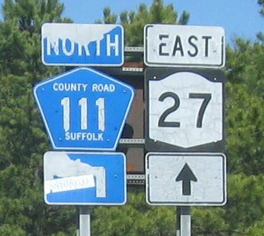
CR 51 SB at NY 27 Exit 61, then EB on the Exit 62 offramp. CR 111 (Captain Daniel Roe Hwy.) was supposed to continue to the south as well, so to see evidence of those plans, click over to the CR 111 page linked at bottom.
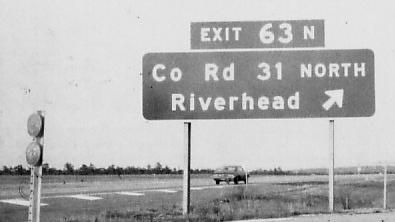
NY 27 EB and CR 31 SB in 1975, courtesy Michael Summa.
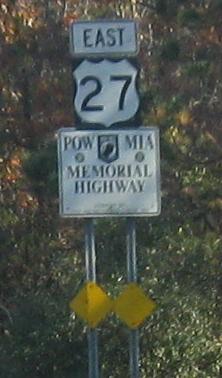
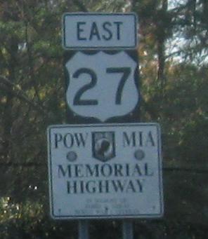
The only US shields that I spied with my little eye, EB just before the end of Sunrise Highway.
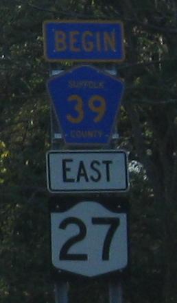
For a short distance, NY 27 is county maintained as it transitions from Sunrise Highway back to Montauk Highway. This was intended to be a temporary affair, but it's unlikely the freeway will push any farther through the Hamptons. CR 39 is impeccably signed with NY 27 while the two are together.
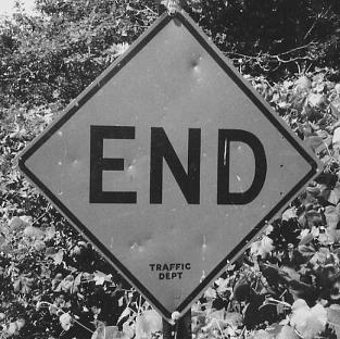
Another 1975 Michael Summa photo from the South Fork of Long Island, on the short dead-end of Tara Rd. off of Old Montauk Highway in Montauk Beach. The practice of signing END on streets that are four or five houses long has lapsed for obvious reasons.
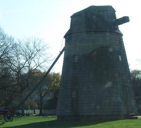
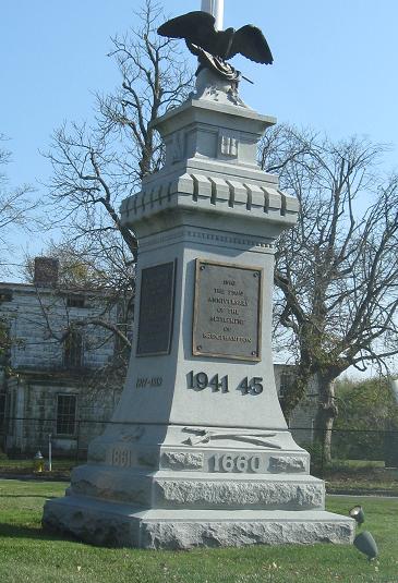
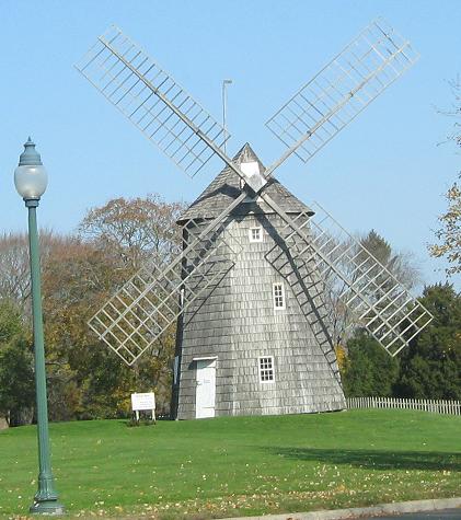
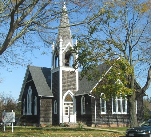
From Southampton to Bridgehampton to East Hampton (last two photos), the most famous part of Suffolk County includes many windmills for some reason (one per town) and a war monument at Sag Harbor Drive erected in 1910 as the 250th anniversary of Bridgehampton's settlement (hence "1660" on the bottom). Obviously, World War II was added to the monument later.
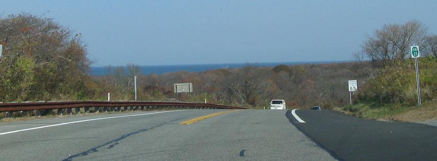
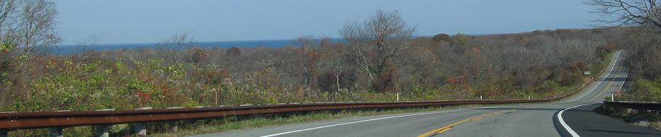
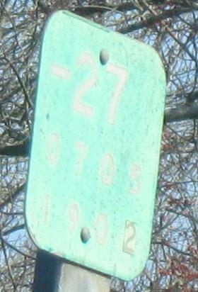
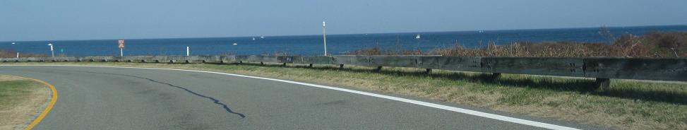
EB on Montauk Point State Parkway, which is not signed like a Parkway but appears to just be the road that traverses Montauk Point State Park. It has a ton of the original-style reference markers with the dashes, too, more perhaps than any other road in the state.
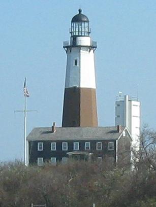
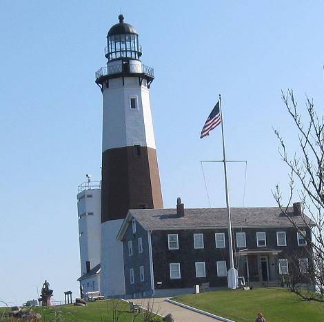
The lighthouse marks the end of Long Island and the point where NY 27 EB becomes WB. Looking out across Long Island Sound, you can almost see Block Island in the distance, a stepping stone to Rhode Island.
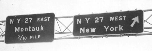
Continue west on NY 27
Back to NY 27 main page
Onto NY 27A, old NY 27
Suffolk CR 80, old NY 27 and former NY 27A
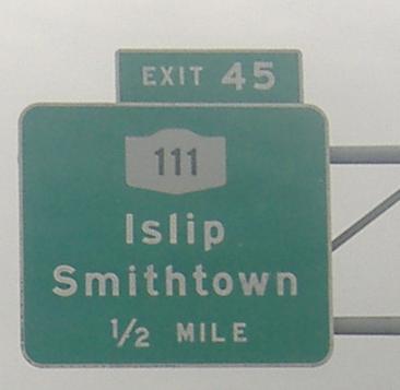
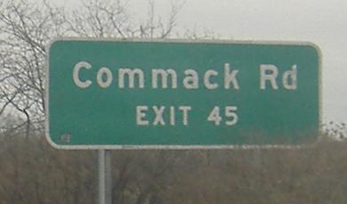
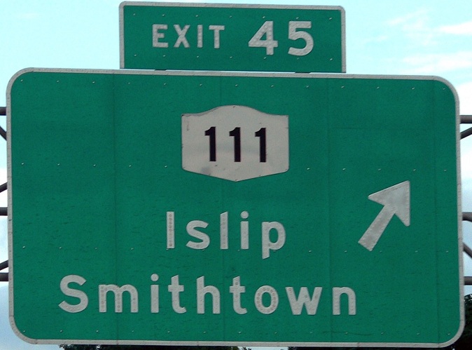
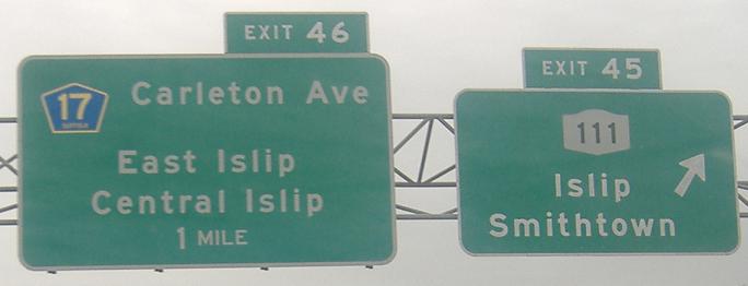
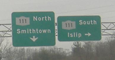
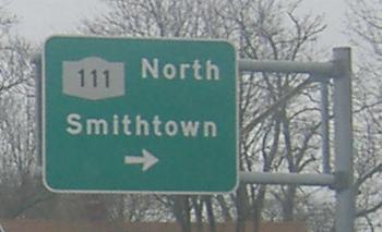
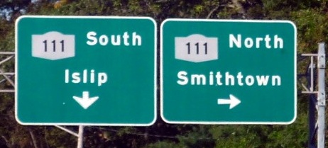
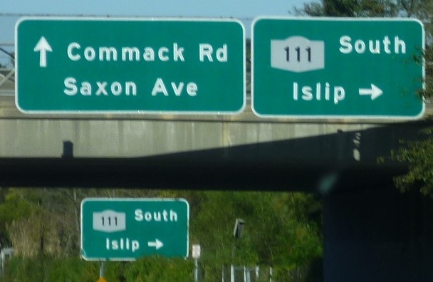
Exit 45 to NY 111
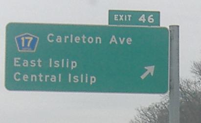
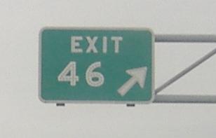
Exit 62 to CR 111
Into Suffolk County
Back to NY Roads
Back to Roads