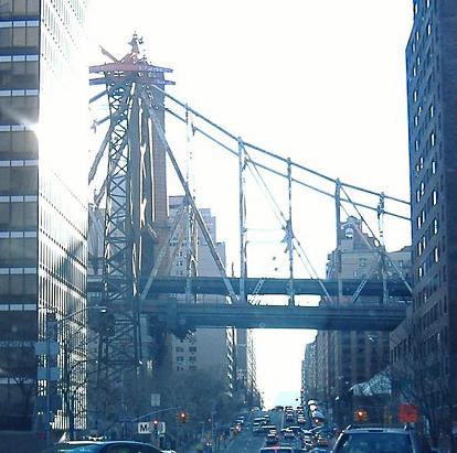
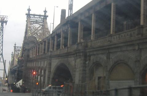
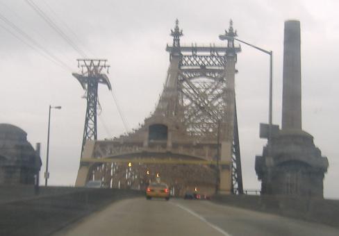
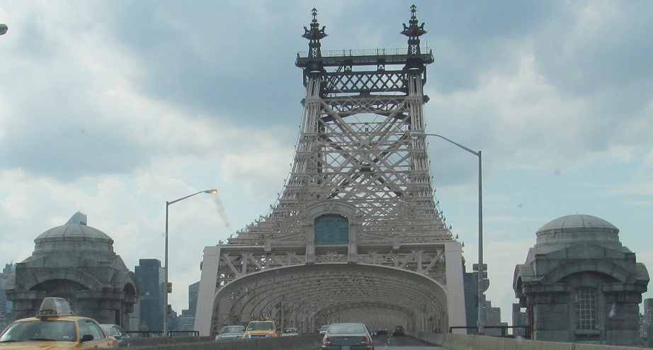
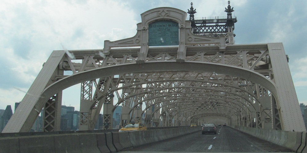
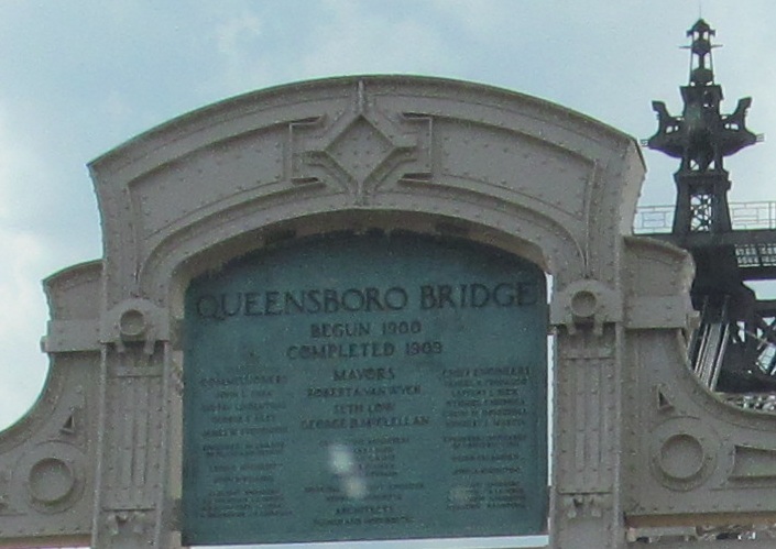
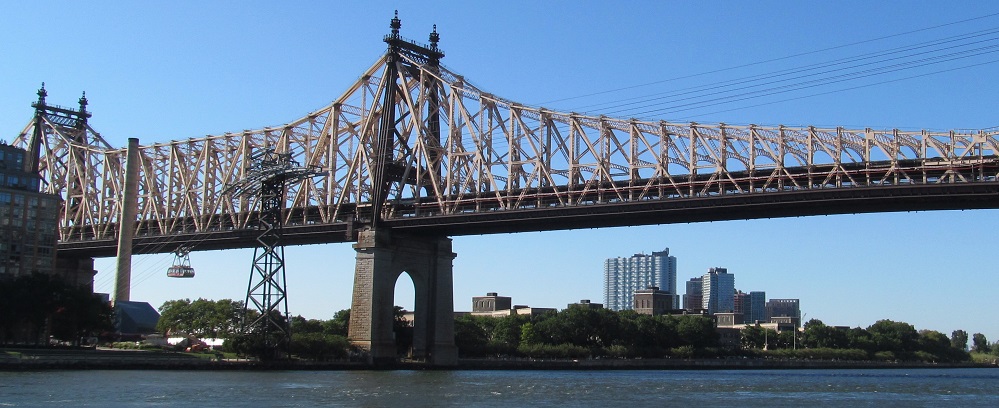
Photos start in Manhattan with the Queensboro Bridge, which seems to have mostly shed the 59th St. Bridge moniker from the days of Simon and Garfunkel.
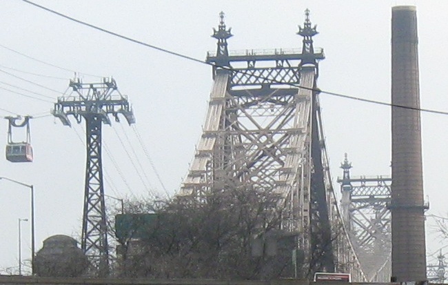
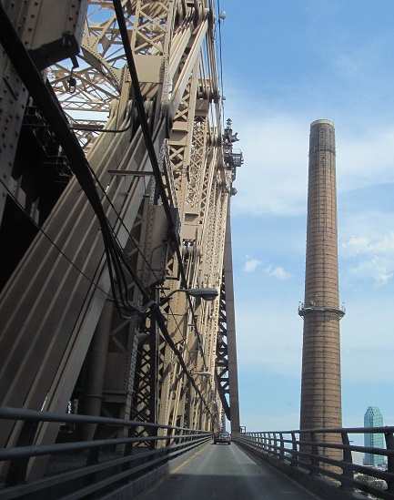
York Ave. SB and a glimpse of the Roosevelt Island tram, maybe the best way to see the bridge (see big link at bottom).
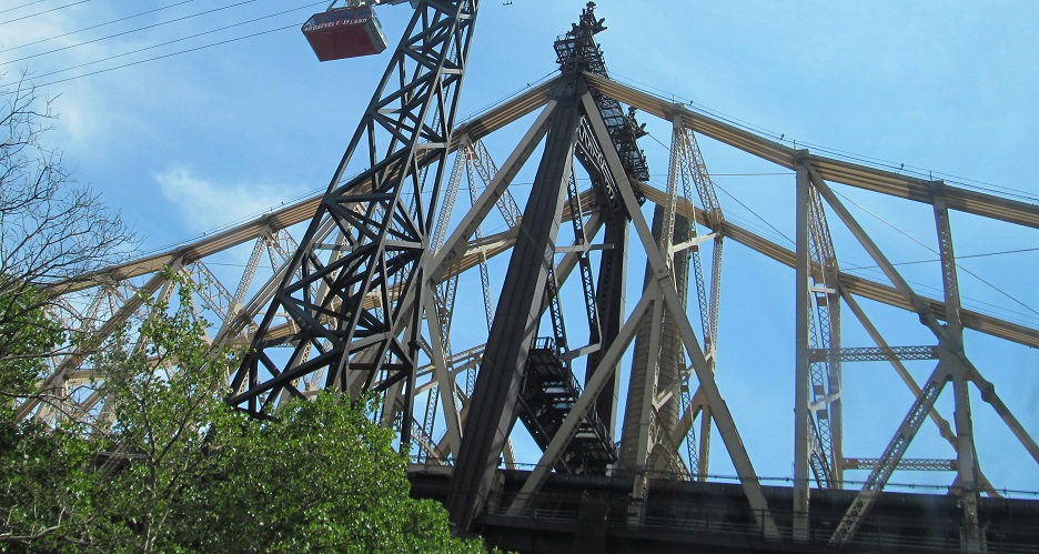
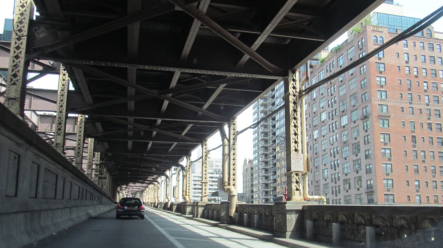
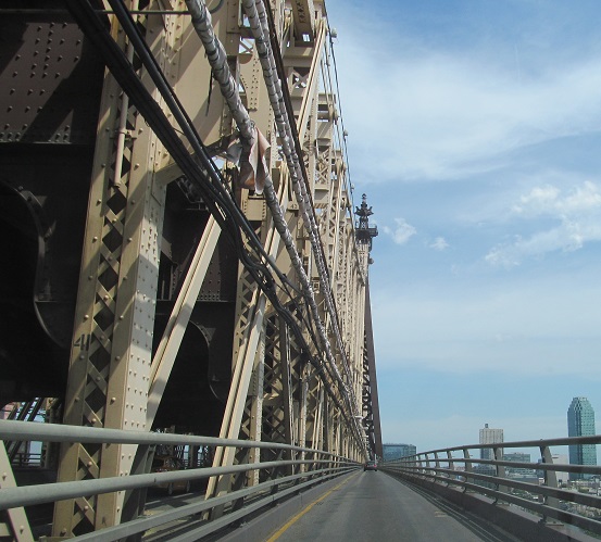
59th St. EB, with the Upper Level approach passing over. The extra tower to the left is for the Roosevelt Island tram. If you like bridges, you'll love the tram ride - see the big link at bottom.
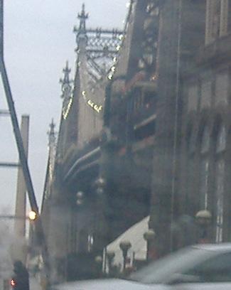
60th St. EB, and the lights come on at dusk.
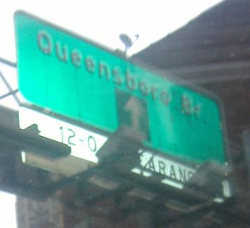
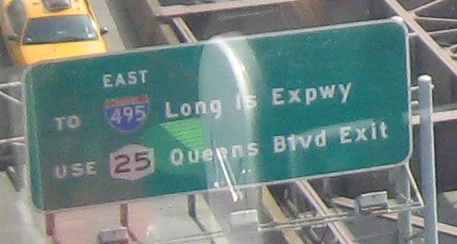
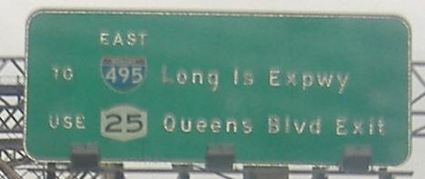
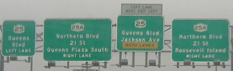
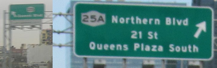
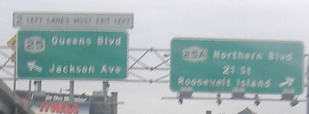
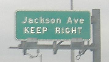
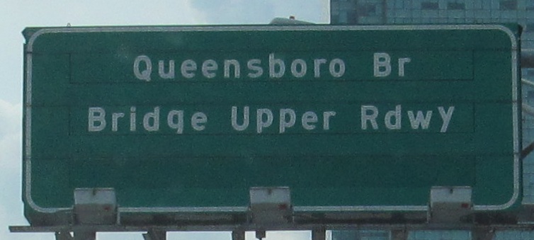
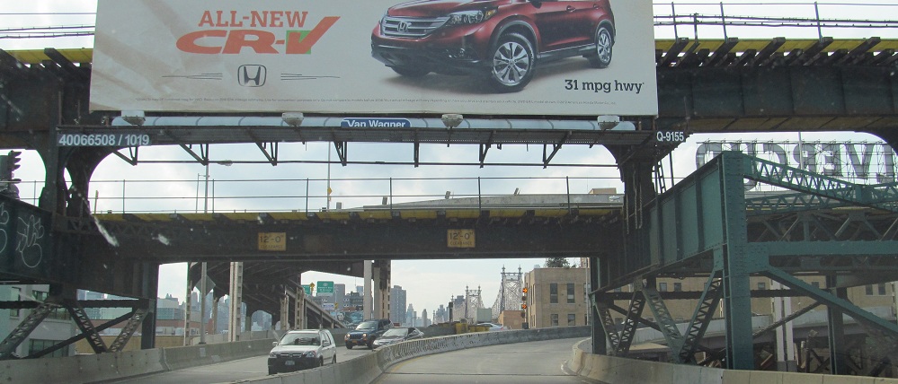
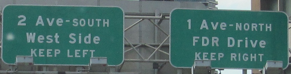
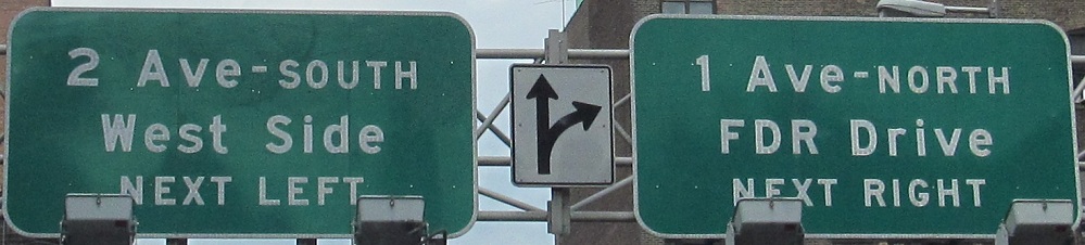
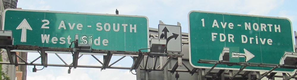
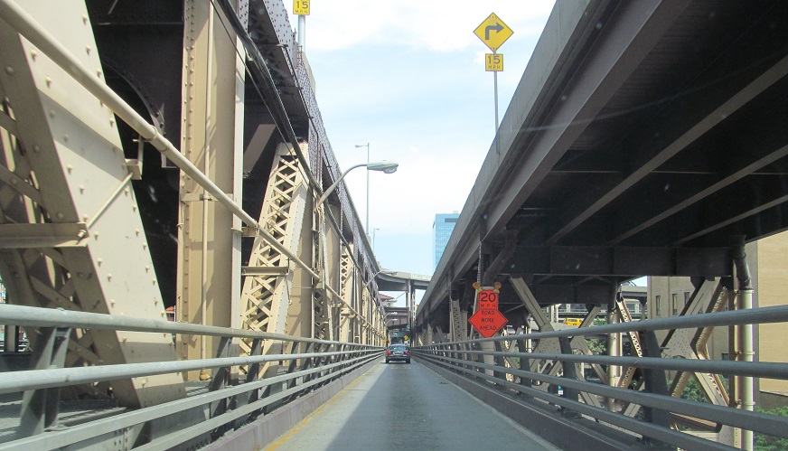
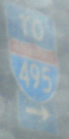
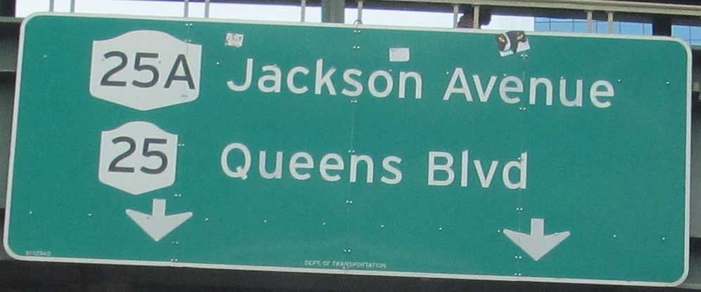
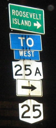
Button copy abounds, EB heading into Queens and the beginning of the long spur route (25A is nearly the length of 25). In the fifth photo, the messages seem to be mixed in terms of which lanes go where - and why are there so many signs? The upper roadway of the bridge can be reversed during rush hour, so the WB side needs EB signage for the occasional traffic it gets, such as the matching signs in the second and third photos. That's why the sixth photo is blurry (well, the left half I wasn't able to retake) - it's a photo of signs all the way over by the WB lanes. By the time I get to the last photo, this isn't NY 25 anymore - 25 technically uses both levels, but only the lower level is a continuous route onto Queens Blvd. - the upper level needs to use Thomson Ave. to get back there.
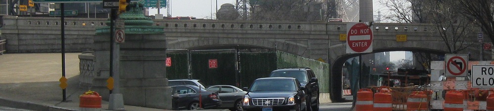
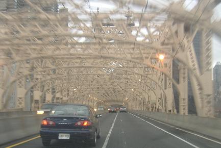
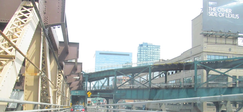
WB starting on Thomson Ave., across the Upper Level, and down to 2nd Ave. These photos run concurrently with the westbound video I took.
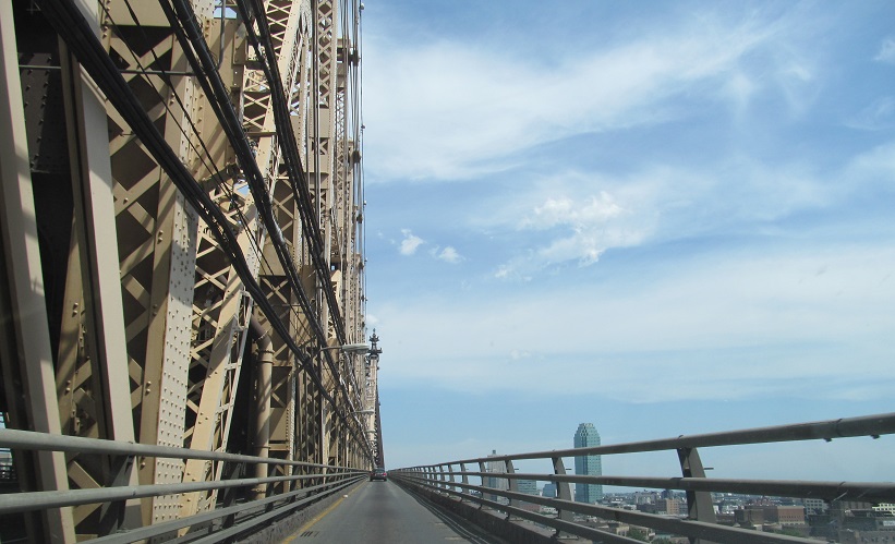
My second shot east follows a unique path, the outer lower roadway. It's a single lane that can only be accessed from 59th St. WB - not even EB - serving 1st Ave. and Sutton Pl. The corresponding lane on the WB side of the bridge is for bicyclists and pedestrians only, so while it would lead to even better and more varied photos, it would go a lot slower. It has the only bridge views not obstructed by heavy truss members. Not recommended for acrophobes. The last two photos show the Upper Level ramps leaving on the Queens side and the 7 train coming in overhead.
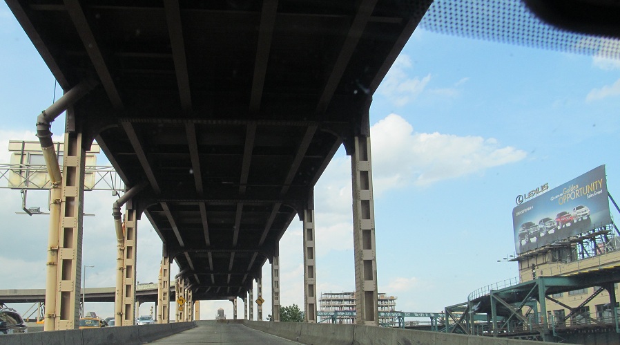
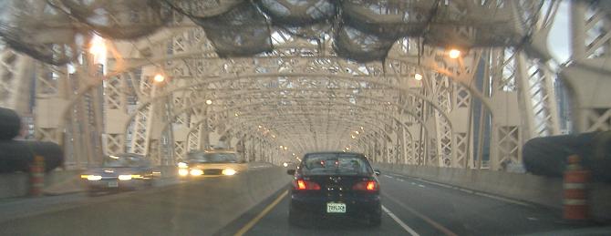
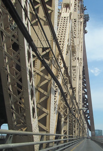
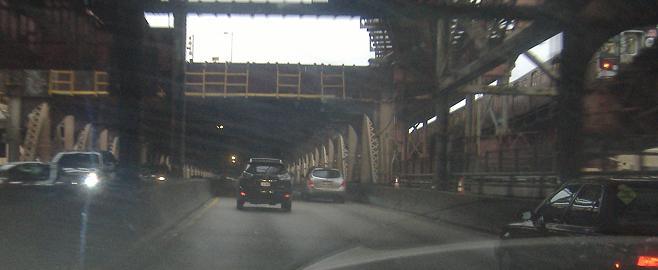
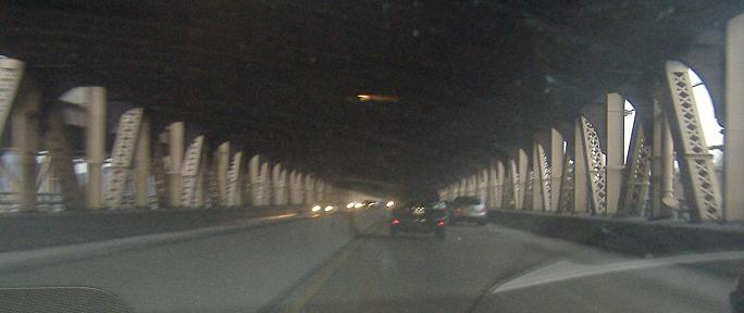
Now WB over the lower level. Before this trip, I hadn't driven this bridge once on either level. This level is a lot more Bohemian, and in the second photo you can see the subway train at least as well as its passengers can see you. You don't get to see that from the upper level.
A view south from the east shore of Manhattan.
Completing the picture, click to drive the lower level EB.
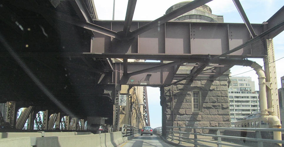
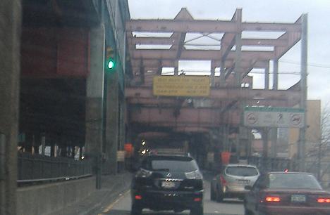
EB just off the Queensboro Bridge up to 28th St. The overhead sign appears to use a discount substitute for Highway Gothic, and the confusing assembly should just drop the NY 25 shield and stretch the others out.
Looking north at Queensboro Plaza (in the median of NY 25) from 27th St. The 7, N, and W subway lines stop here.
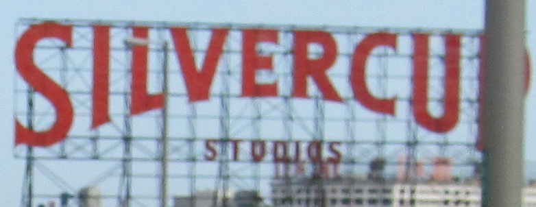
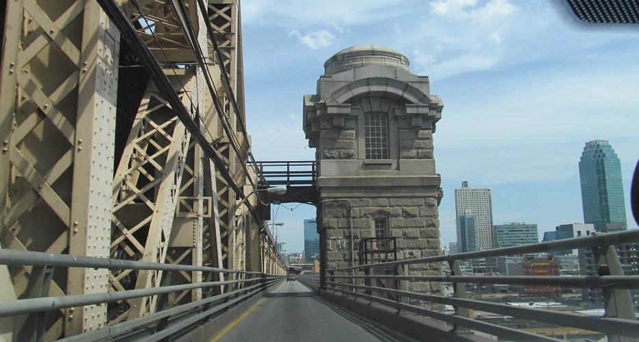
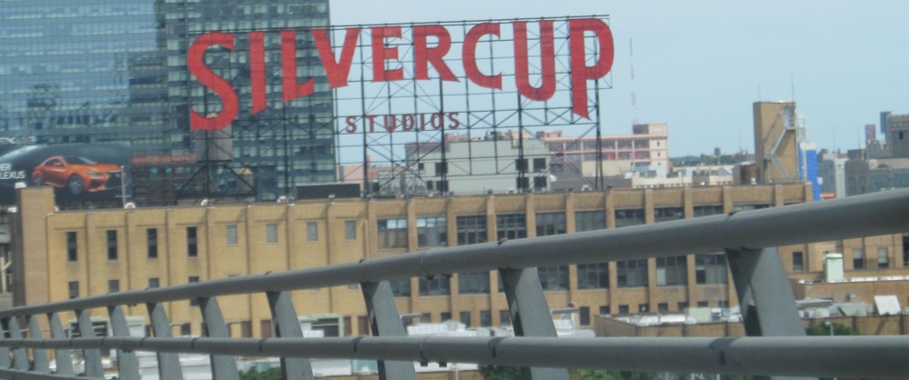
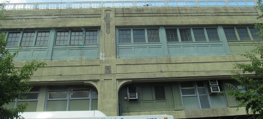
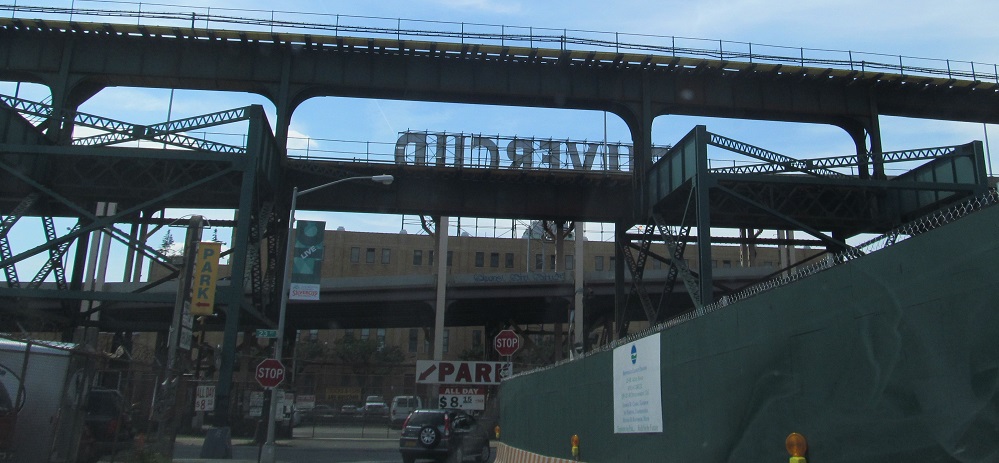
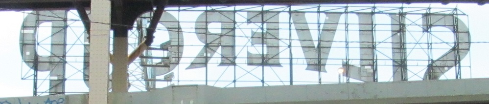
Curled back west on 42nd Rd. at 23rd St., the overhead structures carry the 11th St. and 21st St. ramps to the Upper Level, with the lowest level serving Thomson Ave. And more Silvercup, because it's important.
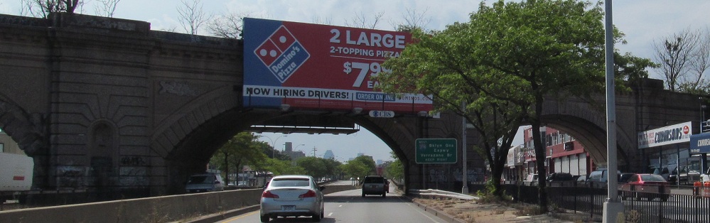
Nothing should be allowed to deface a historic railroad overpass, but at least graffiti doesn't obliterate large parts of the structure. This is WB at 74th St.
EB at Jewel Ave. Queens Blvd. (NY 25) has a quad roadway configuration, similar to Roosevelt Blvd. in Philadelphia except with parking on the outer roadways. Right turns are only allowed from the outside, left turns only from the inside.