New York Roads - NY 25 - Nassau/Suffolk Cos.
NY 25, Nassau and Suffolk Counties
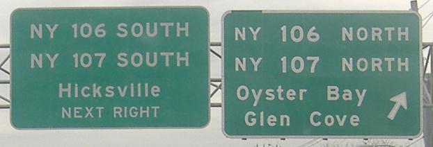
Old Nassau County signs, EB courtesy Lou Corsaro up to I-495 Exit 40.
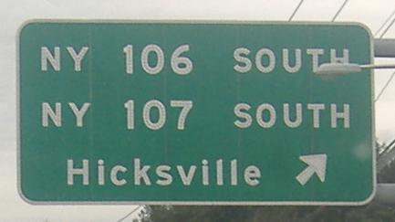
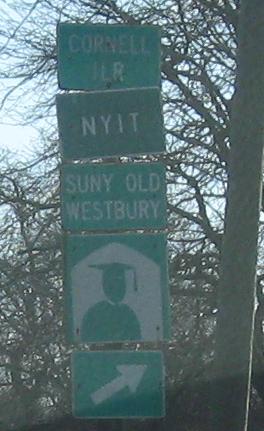
The westbound counterpart that I took. These signs should either be smaller or have destinations on them.
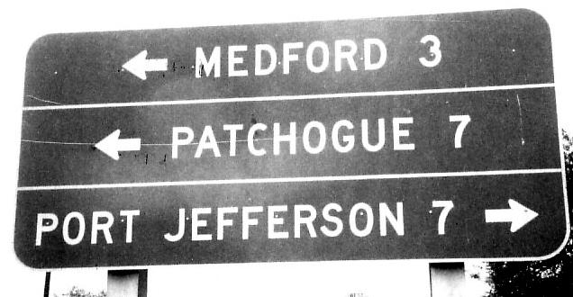
WB on 25, last photo (west of I-495) courtesy Doug Kerr and gone now. I wonder who lives in Hicksville. Tee hee. Etcetera.
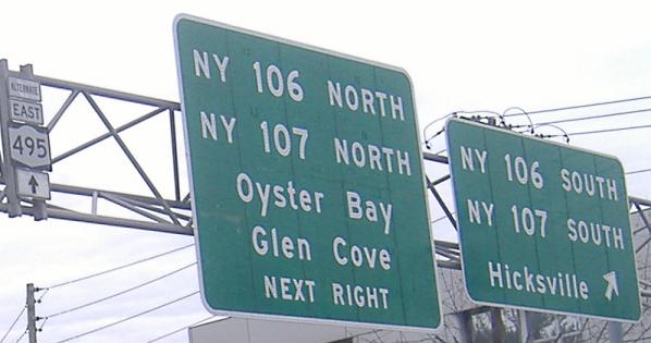
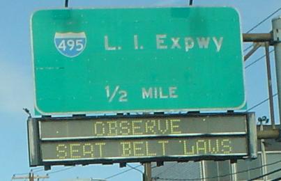
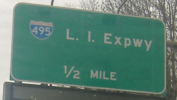
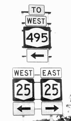
Now EB. Notice the NY 495 shield - Long Island used to think that much of 495 was a New York route. Well, actually, blame NYSDOT, who finally figured out they could extend I-495 all the way east but left a lot of shields like this hanging around.
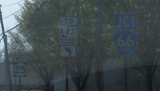
The Seaford-Oyster Bay Expressway originally was supposed to tie into the Wantagh Parkway. This EB sign originally said Wantagh as the destination, and only when NYSDOT was sure the extension would never happen was the destination revised.
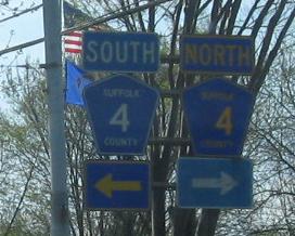
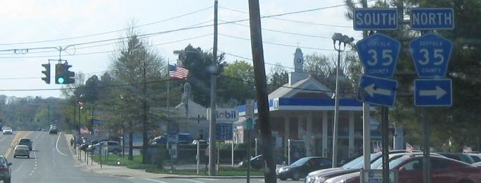
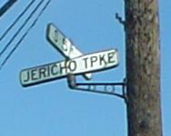
WB from Commack, starting at Town Line Rd./Commack Rd. with a shield borrowed from CR 14 (most likely) or some other x4 route. CR 14 is most likely because it's just a touch to the east. The CR 4 and 35 shelds are older and a rare style, because most Suffolk County shields are unnecessarily wide. The CR 66 shield is just unique, because shields omitting "Suffolk" on top are only otherwise found on overhead signs, and are again in that wide style.
 Old LGS EB at NY 454.
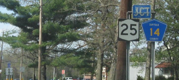
As promised, here's CR 14, seen at its beginning from Harned Rd. NB. Harned Rd. was the northern spur of the Long Island Motor Parkway.
Old LGS back when it was still new, WB at NY 112 in 1975, courtesy Michael Summa.
The first photo was somewhere in Calverton from before FHWA approved the eastern extension of the Interstate designation, and the second was on Moore St. in Greenport. Both are again in 1975 and courtesy Michael Summa.
EB at CR 58, once more a Michael Summa 1975 photo. That NY 495 was entirely accurate at the time - New York wanted it to be an Interstate in 1970, but had to wait until 1983.
WB at the short CR 94A in Riverhead, just a link to NY 24. Peconic Ave. also does this function to the east, but CR 94A is county maintained whereas Peconic Ave. is town maintained. (It was once state maintained as NY 113.)
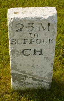
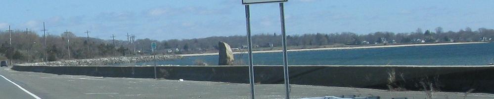
The Suffolk Courthouse has possibly moved somewhat since the 19th century, but this stone remains along NY 25 way up the North Fork of Long Island in the East Marion area. Photo courtesy Doug Kerr.
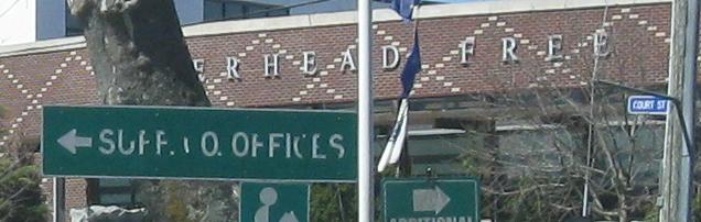
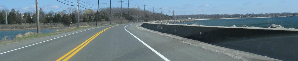
EB in Southold.
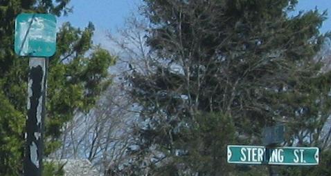
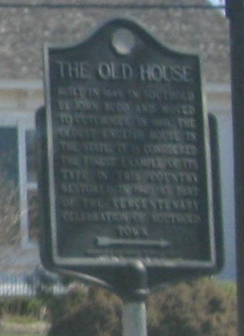
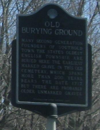
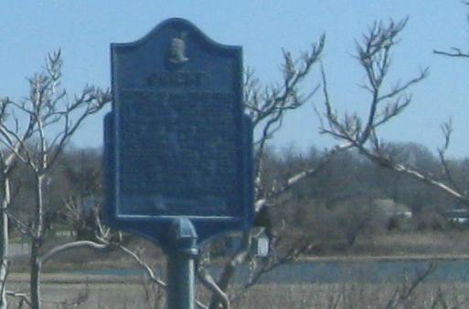
Found one more old reference marker, EB in Greenport. The marker is at Sterling St.
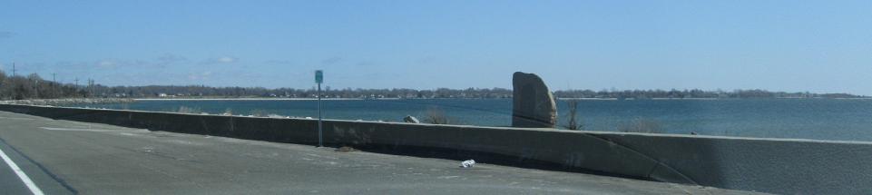
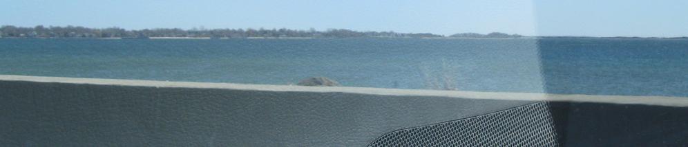
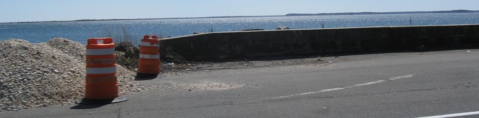
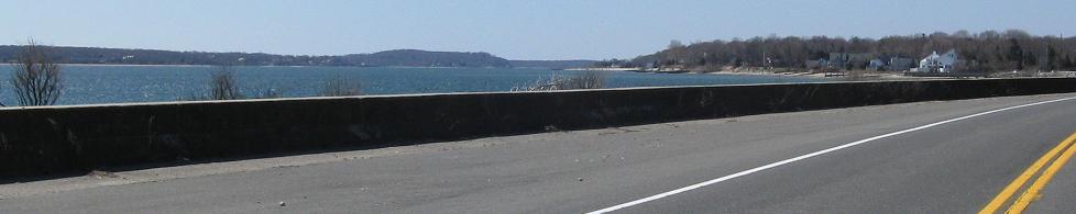
EB around Orient Harbor, near the end of the road in Orient Point. The old sign explains why this area is called Orient (I would assume it's because it's the eastern tip of the North Fork), but I didn't stop to read further.
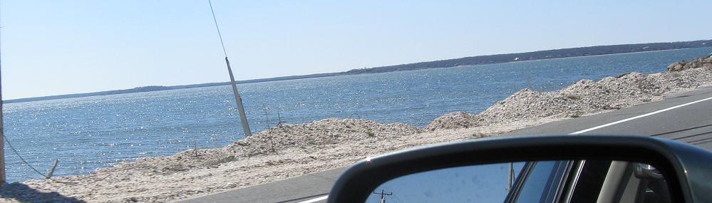
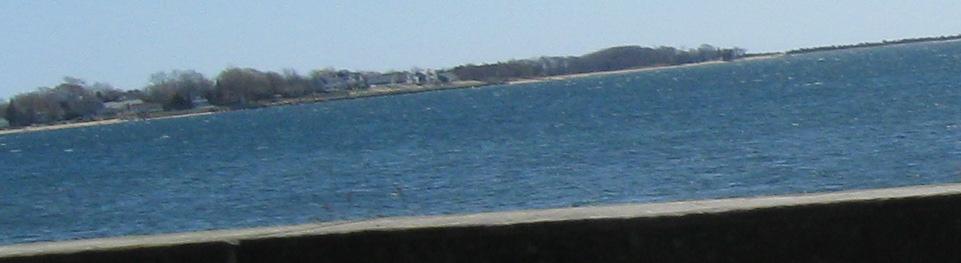

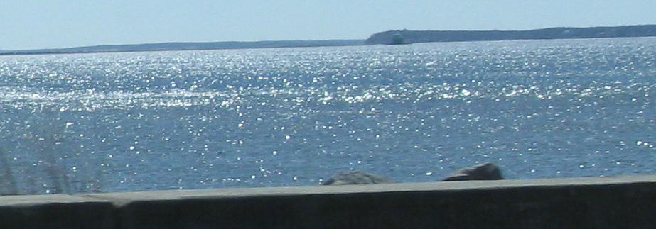
Now WB around the harbor. I do not recommend jogging on narrow, craggy stone walls next to busy highways.
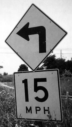
Three Michael Summa photos from 1975, WB starting from the beginning of the route in Orient Point as it comes off of the ferry. The curve is the modern style and thus pretty new, but the 15 are still the old style of numerals.
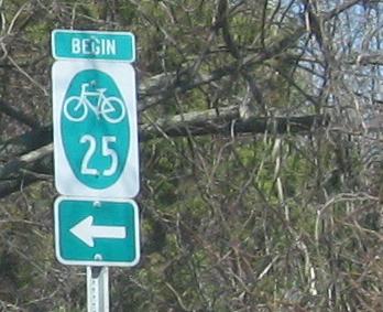
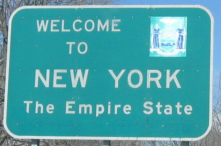
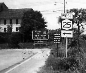
The signs that appear now at the beginning of the route. The first sign for NY 25 is currently for the bike route, coming before ferry travelers are even welcomed to the state, and only then is NY 25 signed.
Continue west on NY 25
Back to NY 25 main page
Onto I-495
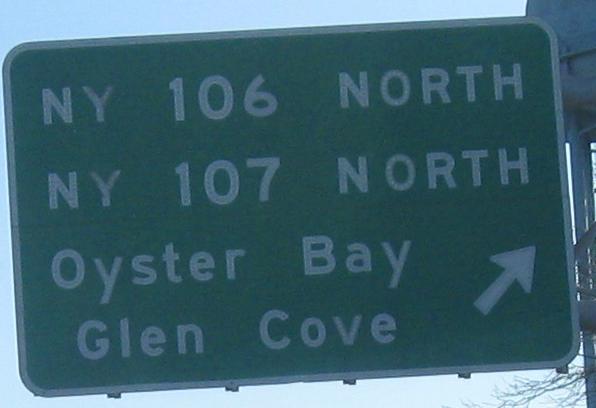
Onto NY 106
Onto NY 107
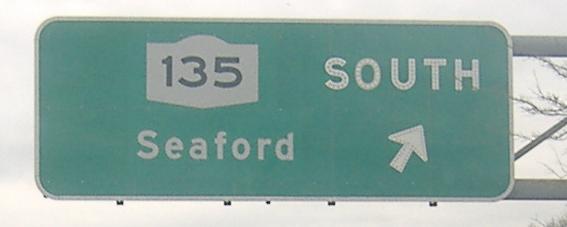
Onto NY 135
Into Nassau County
To Northern State Parkway
Onto NY 112
Onto Suffolk CR 94A
Into Suffolk County
Back to New York Roads
Back to Roads