New York Roads - NY 22 - N. of Millerton
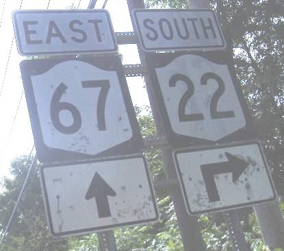
NY 22 north of Millerton
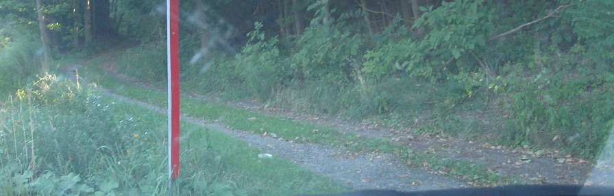
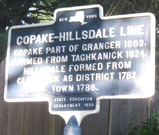
A couple of old alignments, SB nearing Millerton. The first is "Old Post Road 3," but that's in quotes because there's not much road left. The second is certainly traversable, Old Post Road 1 heading up to Dutchess CR 60.
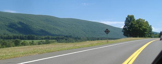
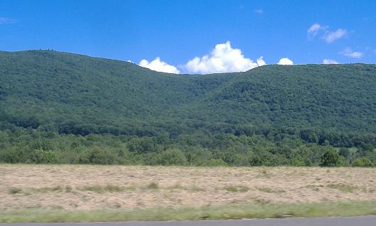
SB from Hillsdale all the way down to US 44 right about where it starts its multiplex southwestward. The beautiful scenery is part of Taconic/Copake Falls State Park.
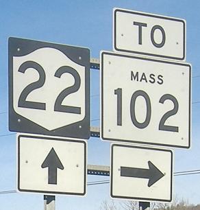
First northbound, next two southbound, just south of the Berkshire Extension of the NY Thruway. This would be fine, since the reference route leading to MA 102 (NY 980D) is about two hundred feet long, except Massachusetts doesn't insert MASS into its shields.
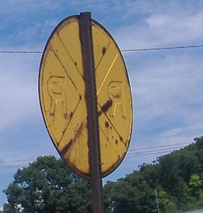
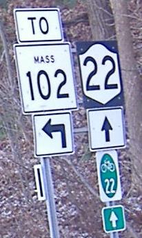
This embossed sign is on Flints Crossing Rd. just north of the MA 102 connection.
 Ancient Thruway shield, southbound.
Older (narrow) Taconic shield, northbound.
SB from NY 2 (flying overhead in the first photo) past Berlin NY, where the road to MA has been cut off due to extensive switchbacks.
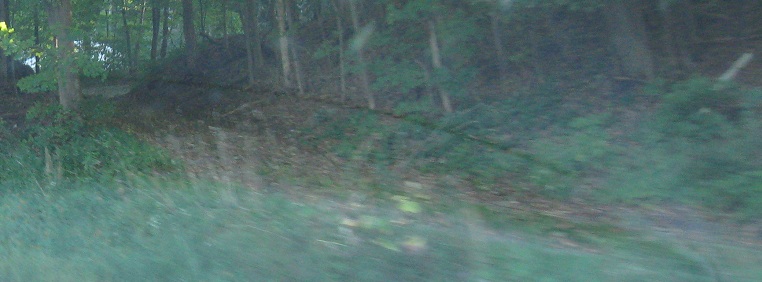
The end of one old alignment, Armsby Rd. SB, just before the beginning of the next one (Head of Lane Rd.).
SB and NB just below NY 313 in Cambridge.
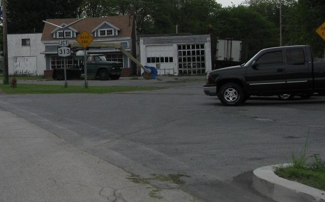
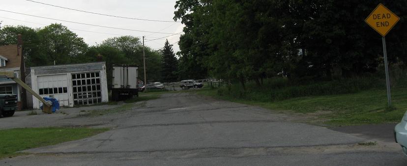
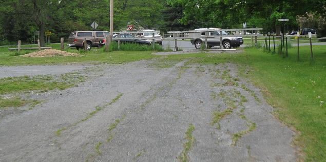
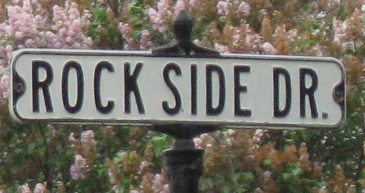
At NY 313, an old wye heads off to the right and joins Rock Side Dr. This was probably how NY 313 originally ended, and was only later modified to end at a T (as opposed to this having been a leg of a true Y intersection).
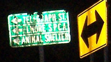
SB photos heading away from Salem.
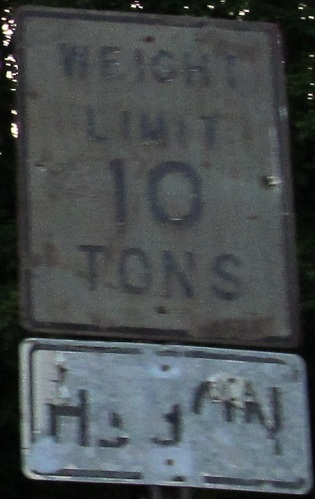
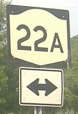
Washington CR 23, Slyboro Rd., heading west from NY 22A just north of the NY 22 junction in Granville. Reused signs quite often lose the second legend (in this case, "AHEAD" is most likely) with the original showing through. Why not flip the sign backwards to prevent this?
Washington CR 18A WB, a very short route that connects to Poultney, VT.
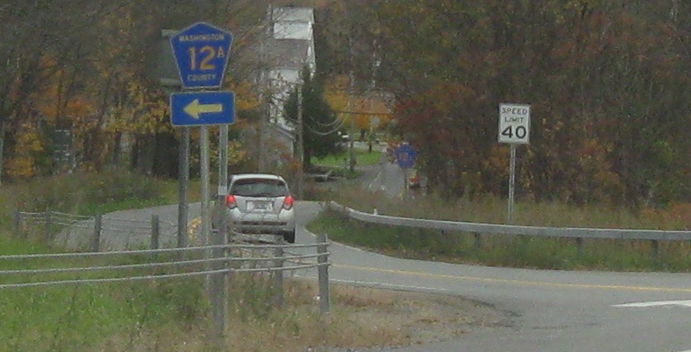
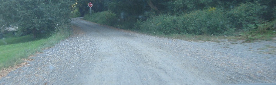
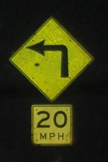
SB at CR 12A, the Truthville Loop, old NY 22 through that village.
 NB, really heading west, in North Granville.

Upper Tpk. comes down from Whitehall and merges into NY 22. This doesn't strike me as an old 22 alignment so much as the original road from Granville, with NY 22 later built to connect west to US 4 instead.
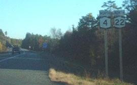
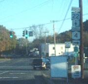
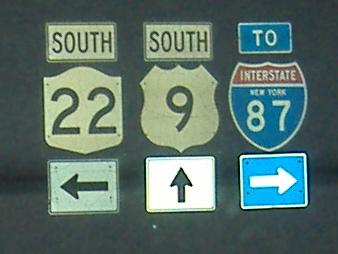
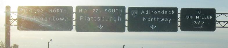
Courtesy Doug Kerr, these should both be US 4. This error is repeated all the way to the Vermont border. And if you squint at that last photo... US 4 should be NORTH, not EAST (4 is E-W through Vermont and New Hampshire, and, as an even number, should well be E-W, but don't tell New York). Chris Jordan sez these are all US 4 shields now.
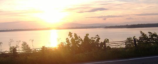
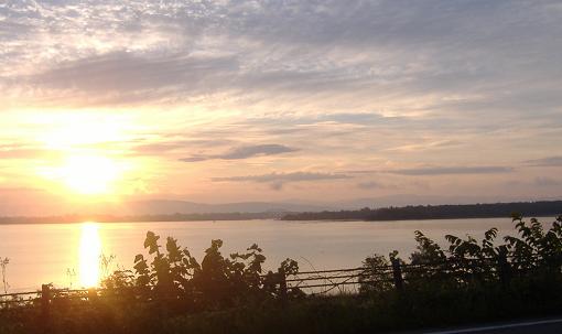
Lake Champlain at sunrise, as I head south through the Adirondacks with NY 9N.
This sign is erected by NYSDOT in the Adirondack Park on NY 22 NB, with its characteristic yellow on brown color setting it apart from regular signage! The park is larger than Yellowstone, but half of it is developed land! By the way, the exclamation point is most definitely not original to the sign! It's much more of a surprise at night, but sadly you can barely see the point of the photo (get it?), so I've kept Doug Kerr's version.
SB from the top of the Adirondacks, ending with signs from before the mid-1970's when the old font and curve style were abandoned. I think the first one is at NY 442, but there's a chance it's at nearby Arthur Rd.
Outside Plattsburgh at the end of NY 374 EB. All of my NY 22 photos seem to be taken either at night or sunrise.
SB out of Canada on Hemingford Rd., one of the border roads that's named for a place on the other side. It seems to no longer be officially NY 22, certainly based on signage. Thanks to Carl Tessier for getting me a photo of the button copy sign between customs stations, obviously erected by New York. I would have done it, but the flash photo would have been suspicious this late at night (and with three other people in the car).
Continue south on NY 22
Back to NY 22 main page
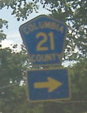
Onto Columbia CR 21
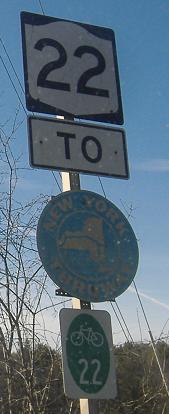
To Mass. 102 via NY 980D
Onto the N.Y. Thruway (Berkshire Extension), I-90
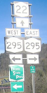
Onto NY 295
Onto NY 313
To Washington CR 12 (no "A")
Onto US 4
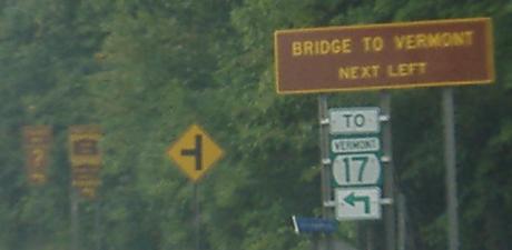
Onto NY 185 (toward VT 17)
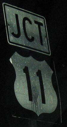
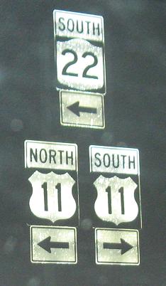
Onto US 11
Back to New York Roads
Back to Roads