New York Roads - I-86/NY 17 mainline/former NY 15
 mainline and
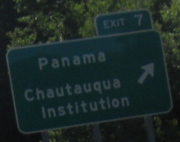 Strange choices just across the border from PA.
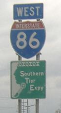
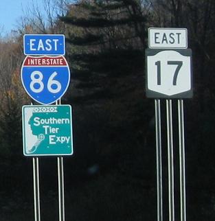
Squint a bit... that's right. I-86, courtesy Doug Kerr. Judging from the all-text signs, NY hadn't yet updated its BGS's to make I-86 appear fresh and lively.
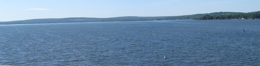
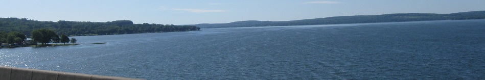
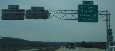
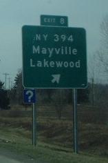
Crossing Chautauqua Lake, looking southeast, north, and northwest.
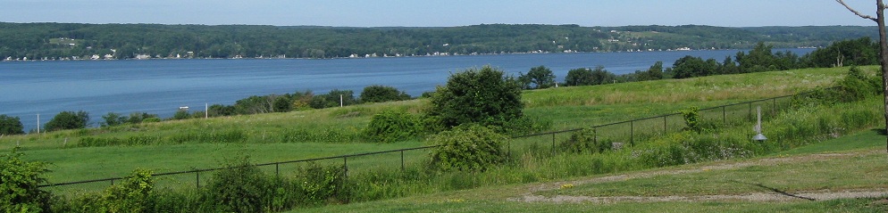
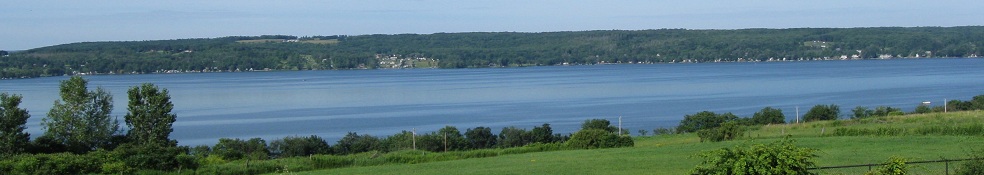
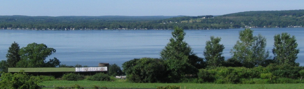
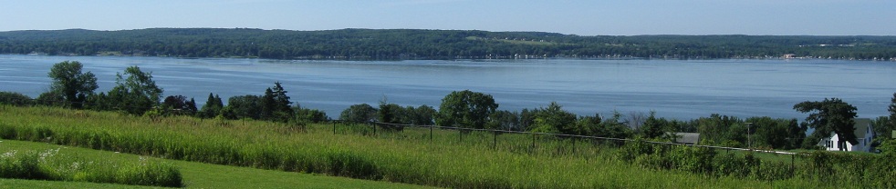

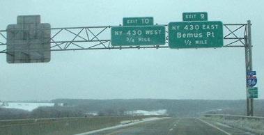
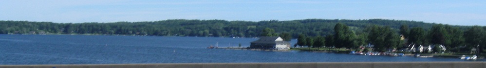
More views of the lake to the south from the rest area past Exit 10, panning from west to east.
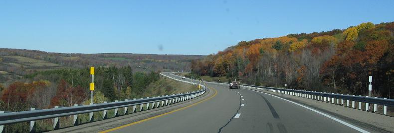
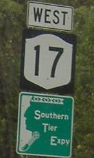
The height of fall color in western New York. There are a lot of NY 17 shields on triple poles in this area. Given that they will all be removed in a few years, I don't get why so many poles would be wasted. One really should suffice, and as you can see from the I-86 assembly, two is clearly enough.
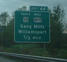
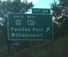
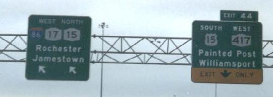
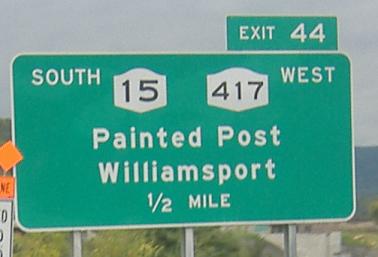
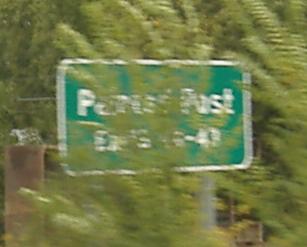
Both button copy and both also courtesy Doug Kerr. In the first photo, the new Exit 44 will be for I-99 when it makes it up this far (2014). For now, it's the now-former end of NY 15 and the beginning of US 15. Visit the US 15 link at the bottom of this page to see photos of that new interchange under construction.
About the only exit full of button copy, even right up the ramp.
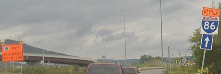
A reminder that there are a few roadblocks before I-86 will finally be a continuous road (there is a short section extending east from I-81).
Awesome old signage. Wicked pissah. And one more NY 17 shield that's dying to come off.
Westbound
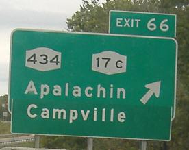
Hey NYSDOT, black backgrounds are NJ's schtick. Back off. And while you're at it, work at your signs. In the first photo (courtesy Doug Kerr), the center sign needs to be, well, centered, and the right sign's font is just verrrrry slightly and annoyingly off. In the second photo (and in the first one), the black-background shield is actually a shield, that will one day be peeled off to reveal an I-86 shield. Clever, no? In the third photo, Campville got a little uppity and forgot to remind NYSDOT to match the dimensions of the parent BGS.
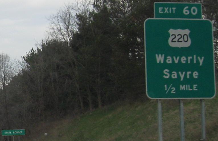
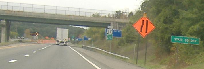
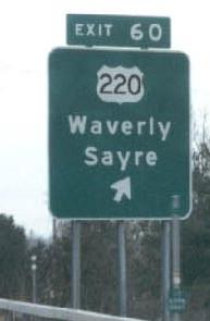
NY 17 nondescriptly dips into Pennsylvania here; it's fully maintained by NYSDOT, but the US 220 exit is technically in Pennsylvania (and the sign appears to have originally been tabless). The reason this happens is because the Southern Tier is quite mountainous; the reason this isn't PA 17 is because PA already has a PA 17, and originally had two (the freeway near Erie is now just I-86). The last photo is courtesy Doug Kerr, and all are westbound.
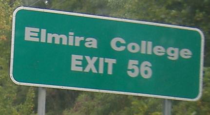
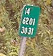
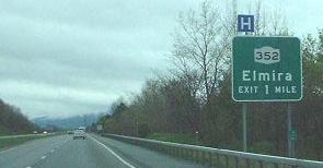
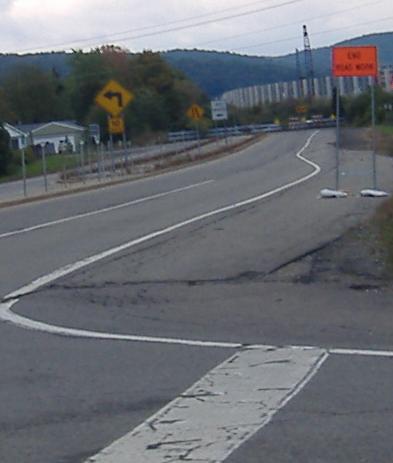
Very random button copy remnant, and seemingly random route number remnant as well. NY 14 originally used NY 352 south of Elmira to get to the outskirts, where it followed the Elmira bypass back up around Elmira and through Horseheads. That stretch is now NY 17, and NY 14 is using a mix of its original alignment and the new Clemens Center Parkway. However, in true NYSDOT fashion, the original numbering of the milemarkers for the Elmira bypass remains even on the new markers.
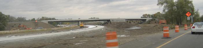
The old NY 13 interchange (Exit 54) is being realigned to allow the new Horseheads frontage roads to exit; all traffic used those frontage roads during construction.
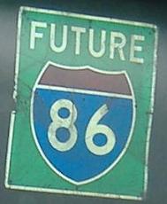
Two will become one; when I-86 is completed, its shield will shove the NY 17 shield right off this sign.
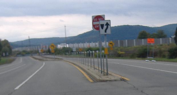
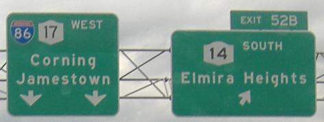
At the end of the Exit 52B ramp (to NY 14 North), traffic to NY 14 turns onto old NY 17. In fact, old 17 serves all the directions of this western Horseheads interchange, and in these two photos is the eastern stub thereof. East of here, NY 17 passes through Horseheads exactly on old 17 (which is why the new 17 cut off its path here), but the Horseheads Bypass, which isn't a bypass at all but passes right thruogh town, is about to open. It will elevate traffic above where NY 17 once sat, and the surface intersections will be served by frontage roads.
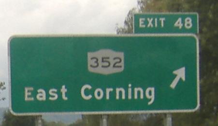
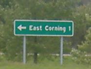
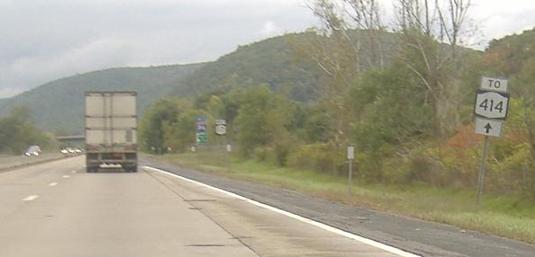
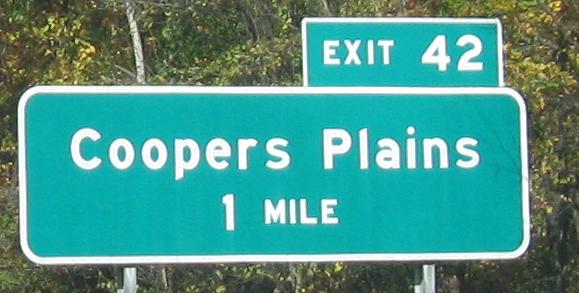
Assorted westbound button copy, ending on a former stub of the STE in Corning. NY 17 had exited at NY 352, and then the Expressway continued one exit to NY 414. The westbound direction was only signed like this (which may be a remnant of that time).
Looks can be deceiving for the US 15 signs - the right arrow comes before the down arrow. Both of these westbound signs, once more coming from Doug Kerr, are gone now.
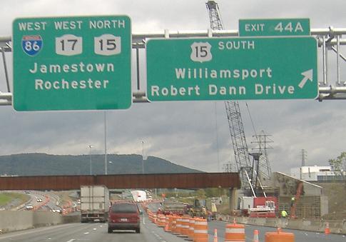
This is what you'd see in September 2006, as construction of the I-86/I-99 interchange (known to us laypeople as NY 17/US 15) nears completion. The half-mile advance sign is an NY-shield goof, probably based on the fact that once Route 15 meets NY 17/I-86, it became NY 15 all the way up to Rochester. New York didn't feel like having a US route multiplexed with Interstates, and it only recently decided it didn't feel like having the NY route multiplexed either, truncating it all the way back up I-390. I can't tell whether the 15 shield on the orange offramp sign is NY (incorrect) or US, but I can tell that contractors just don't cut out Interstate shields anymore.
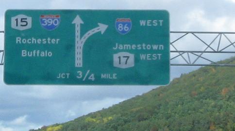
These 8 photos are the entirety of what I found interesting on the former WB/NB multiplex with NY 15, mostly button copy. You do get one sign whose exit tab was made for any other location but this, or perhaps NYSDOT is to blame for not using a longer destination. Then you get a new diagrammatic tailor-made to remove or cover NY 17 as soon as the trigger is pulled on that decision. NY 15 was just pulled back in 2009 off of I-86 and I-390, so you don't even get the multiplex anymore.
More all-text nearing PA on I-86, courtesy Doug Kerr. This is the other sign on the Exit 9/Exit 10 gantry at the top of my EB page.
Horseheads Bypass photos
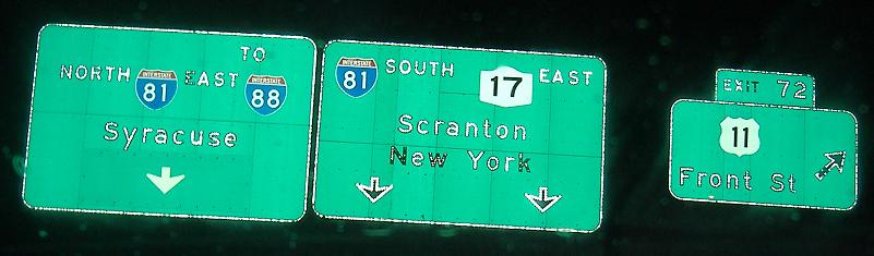
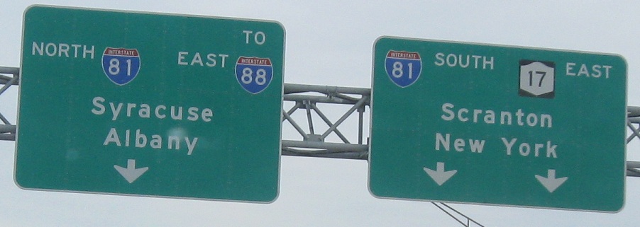
East onto I-81 and I-86/81/NY 17
Continue east on NY 17/future I-86 (Quickway)
Onto NY 15 alone
Back to the I-86 main page
To the NY 17 main page
Into Pennsylvania on I-86
Onto I-390
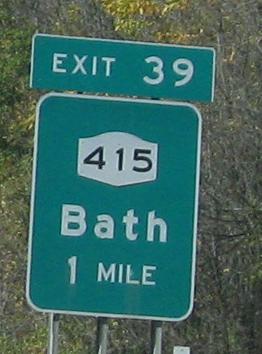
Exit 39 or 44 to NY 415
Exit 44 to US 15
Exit 44 to NY 417
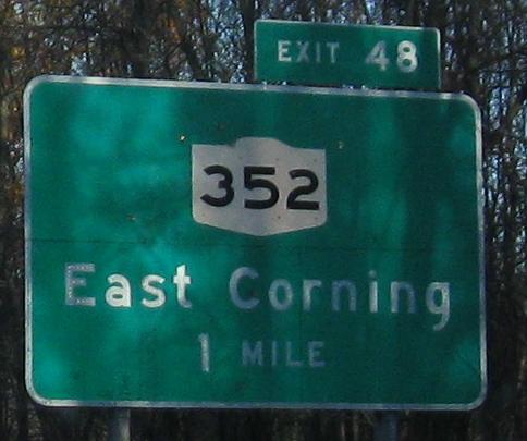
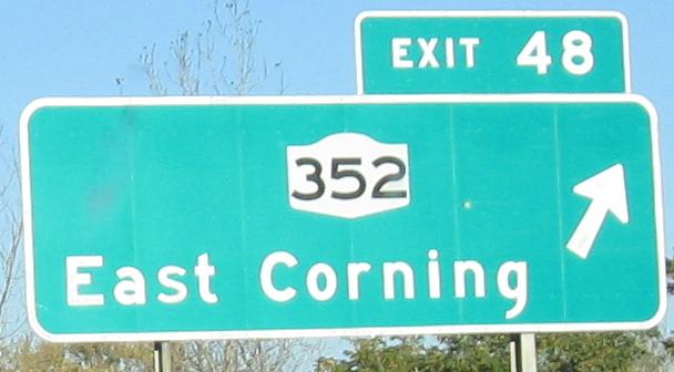
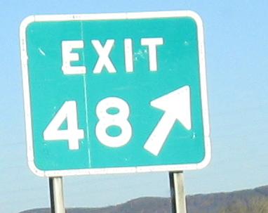
Exit (47) or 48 to NY 352
Exit 52 to NY 14
(Exit 54) to NY 13
Exit 60 to US 220 (in PA)
Exit 66 to NY 434
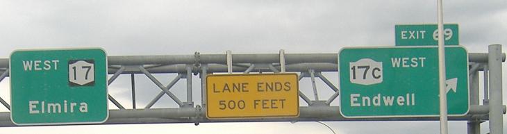
Exit 66 or 69 to NY 17C
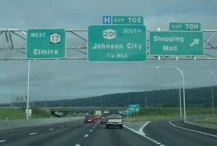
Exit 70S to NY 201
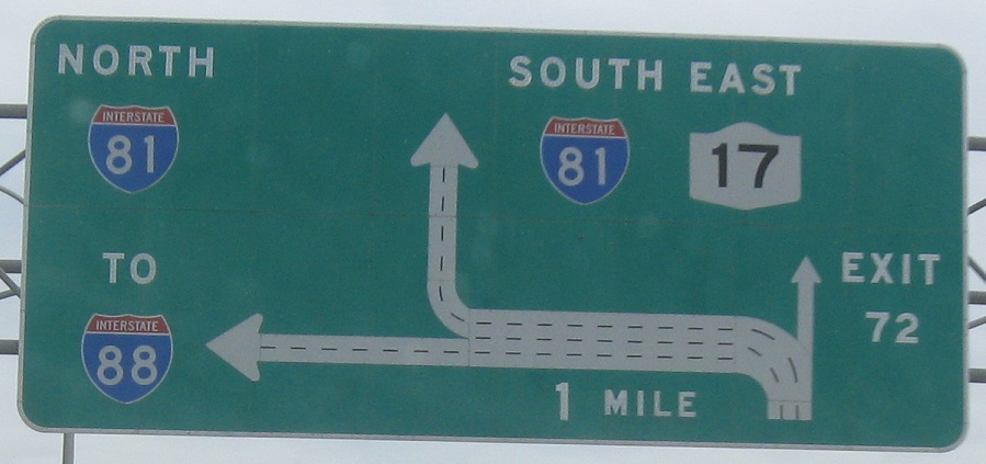
Exit 72 to US 11
Follow I-81 to I-88
Back to New York Roads
Back to Roads