New York Roads - I-278 - Brooklyn-Queens Expwy. - Cross Streets
 Brooklyn-Queens Expressway - cross streets
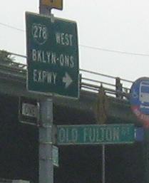
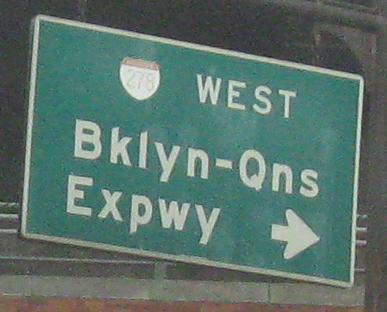
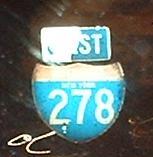
Cadman Plaza West EB at I-278 Exit 28 (Brooklyn Bridge). My retake of the second photo saved you a horribly blurry sign, and instead you can see the pitiful excuse for a shield that hasn't lasted ten years, if that. I'd rather see a little white-on-green shield than that.
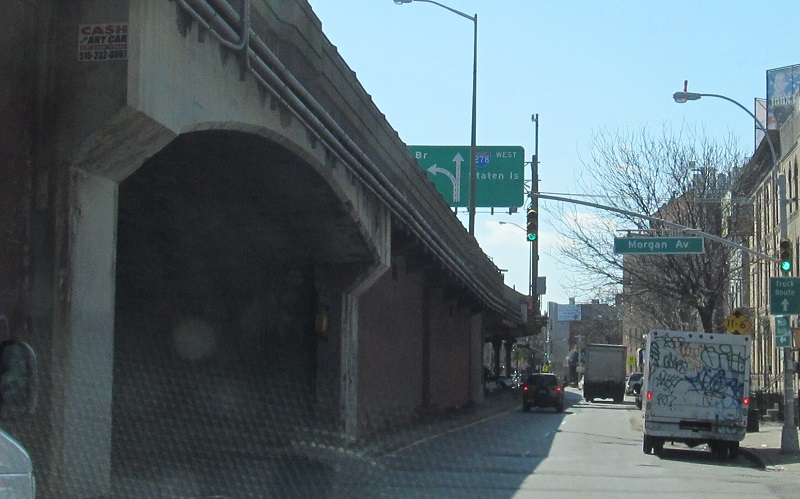
Flushing Ave. WB under the BQE at Exits 30-31. The sign is at Classon Ave.
Replacement of the Kosciuszko Bridge ("K Bridge") destroyed these perfectly wonderful shields on Vandervoort Ave. NB.
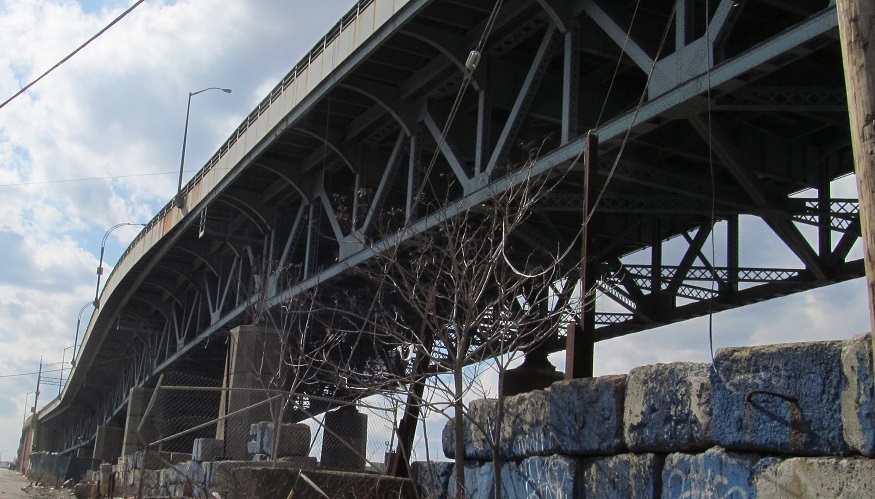
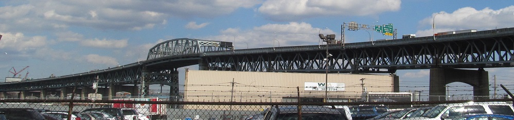
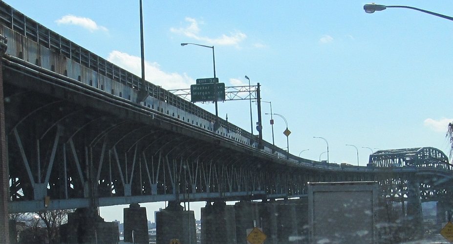
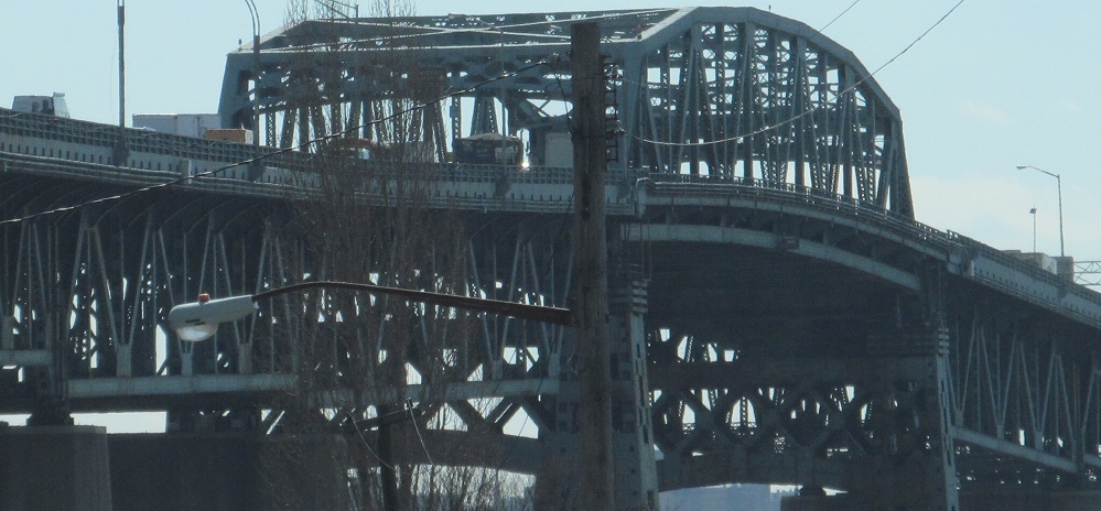
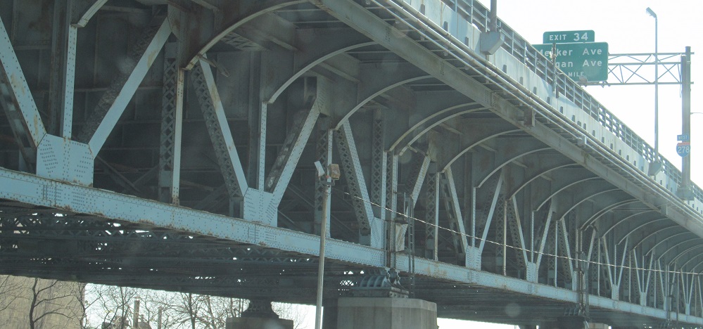
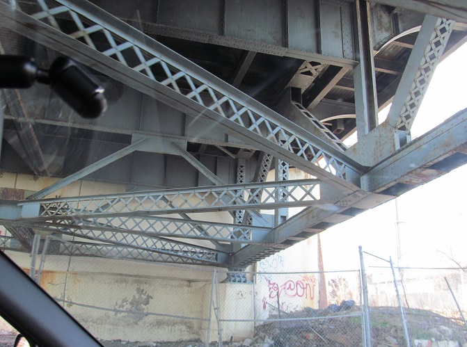
Part of the K Bridge viaduct, the Morgan Ave. overpass seen from Meeker Ave. WB.
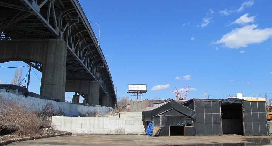
Cherry St. WB alongside the western bridge approach, which touches down just past Stewart Ave. This part of Cherry St. will be obliterated by the new bridge.
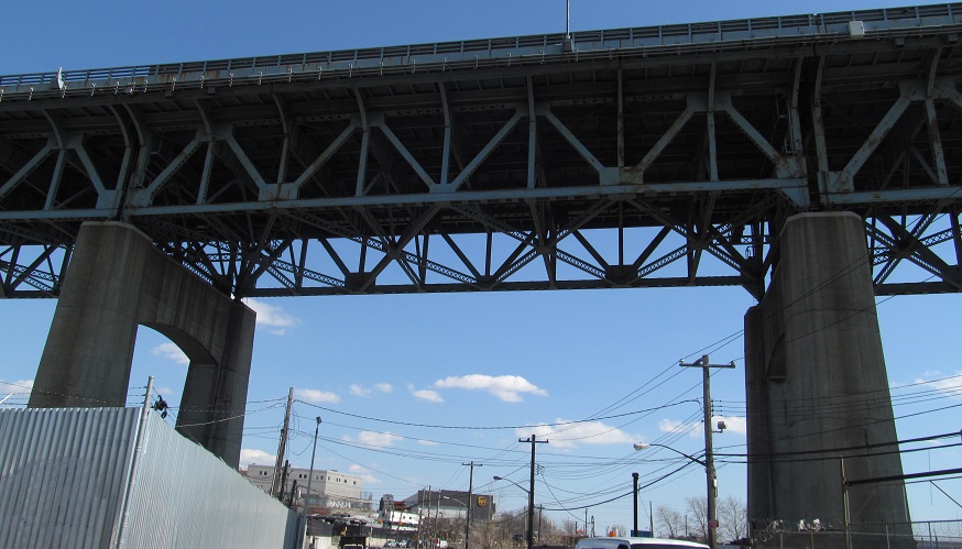
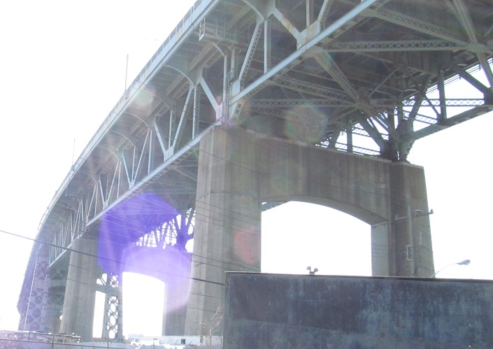
Looking north from Stewart Ave. across Newtown Creek.
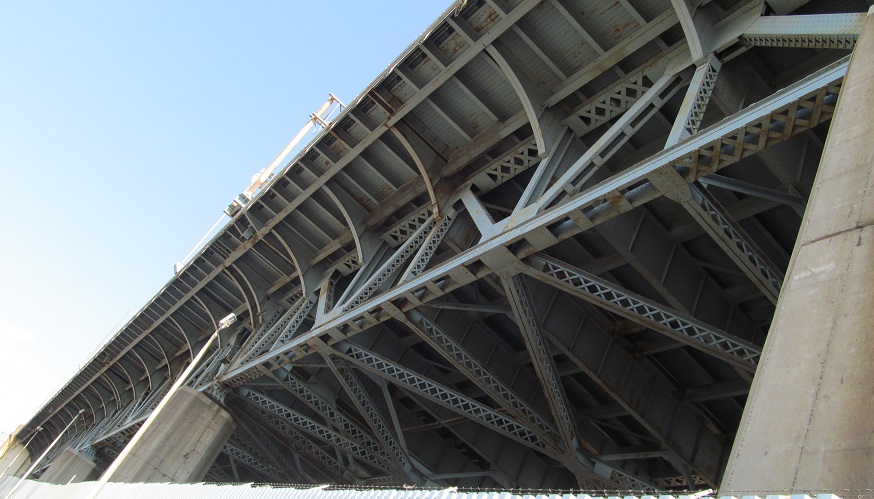
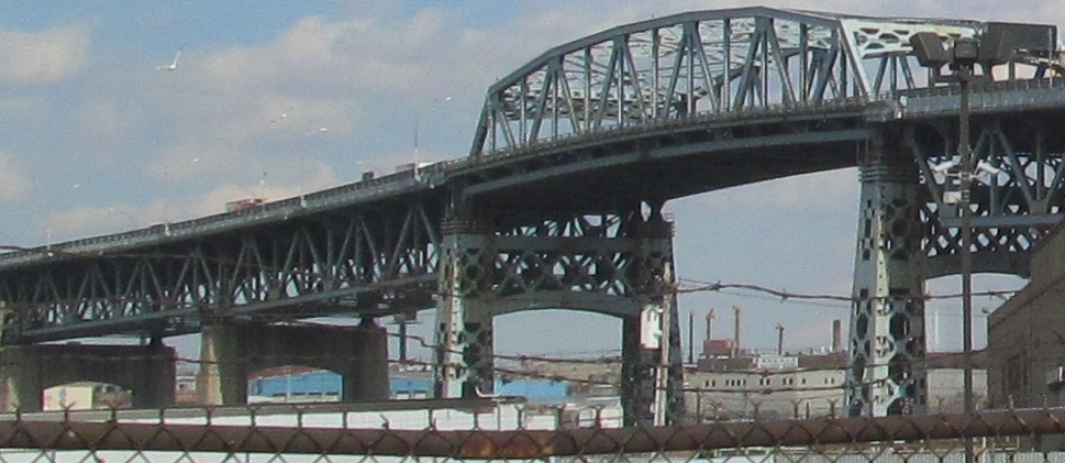
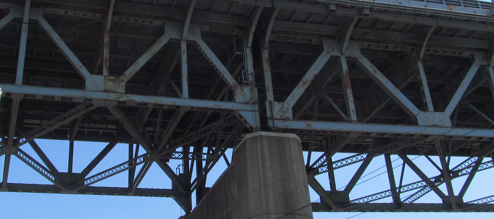
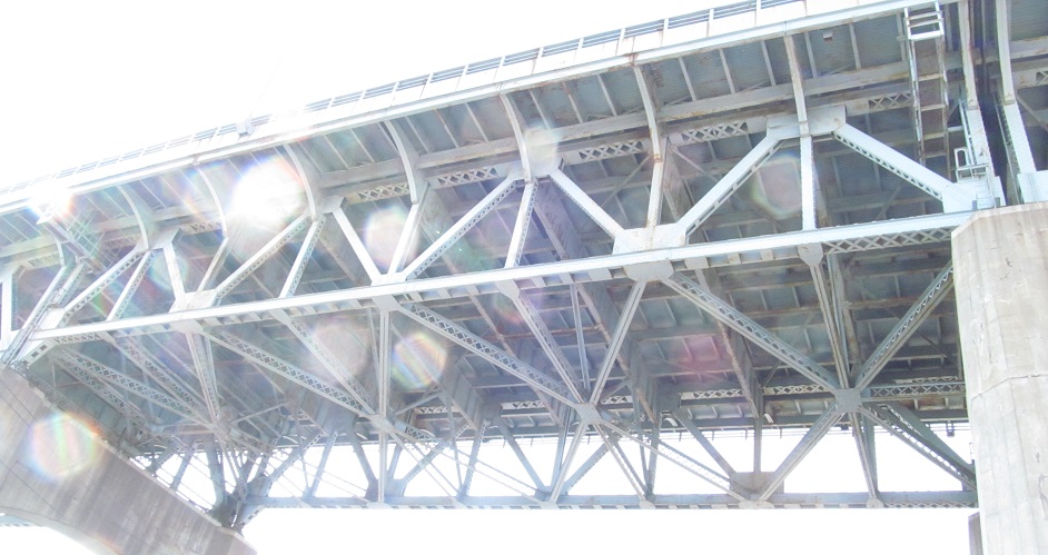
Heading west on Laurel Hill Blvd., the northern frontage of the Queens approach to the K Bridge.
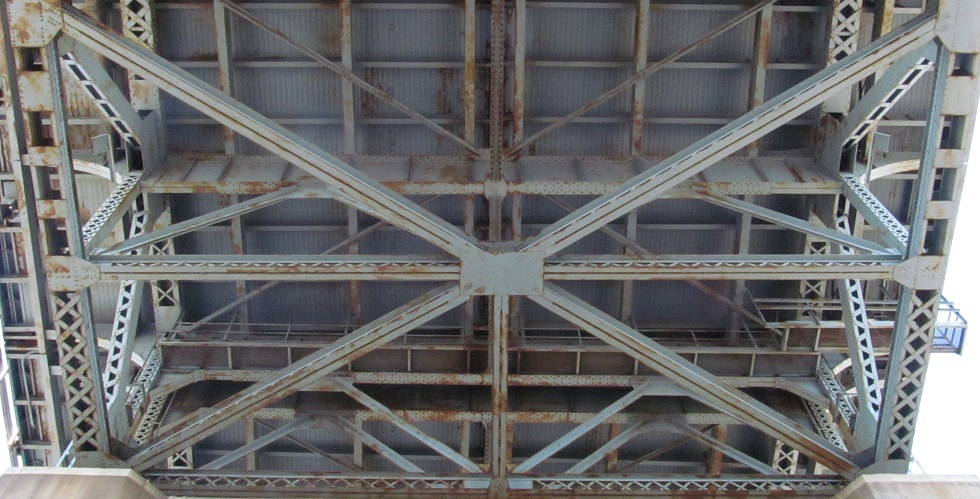
54th Rd. east from Laurel Hill Blvd., the very top of the K Bridge truss.
55th Ave. is a dead end, so all of these photos look west from that stub off 43rd St.
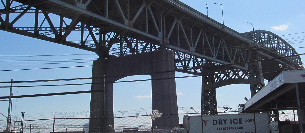
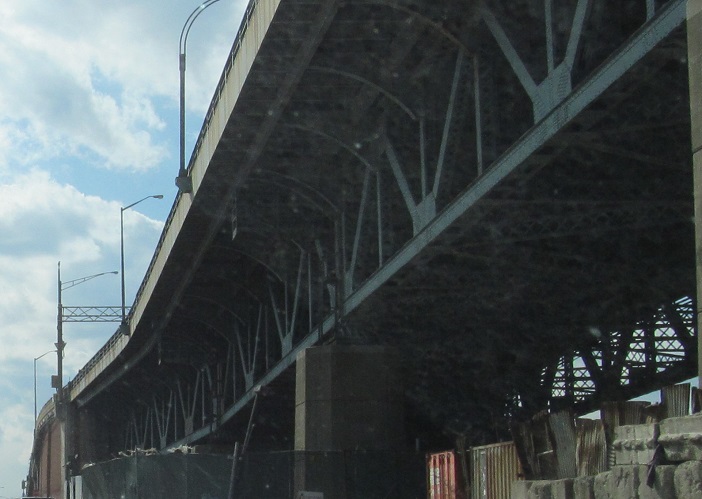
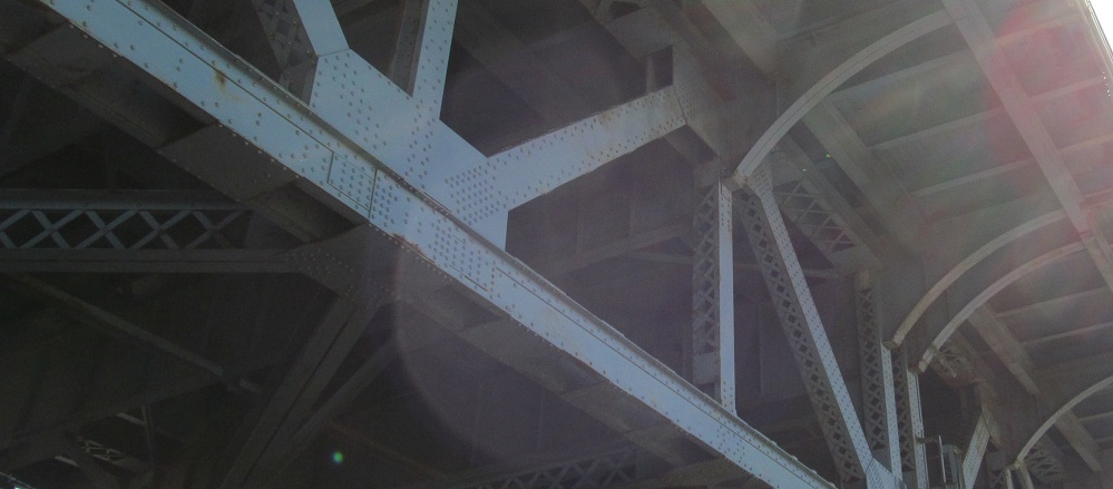
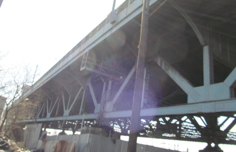
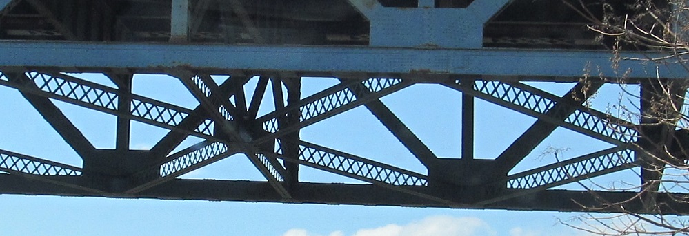
56th Rd. east from Laurel Hill Blvd., the last street before Newtown Creek and therefore one of some consequence. It's also the farthest below the truss one can get in Queens.
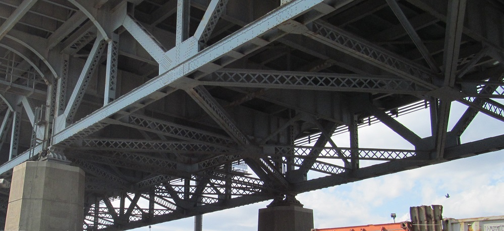
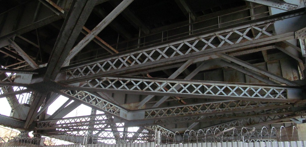
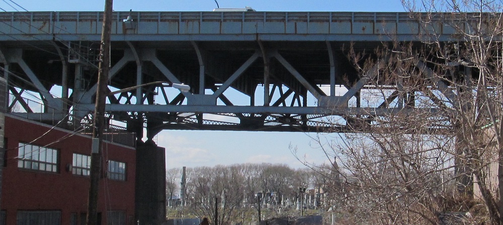
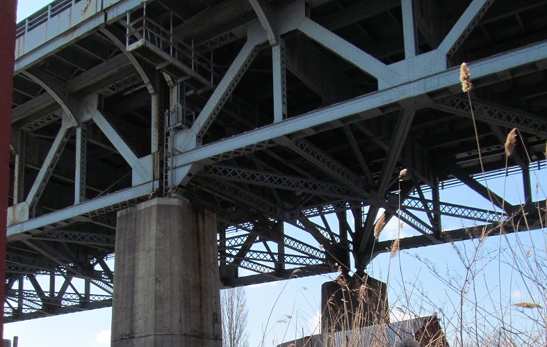
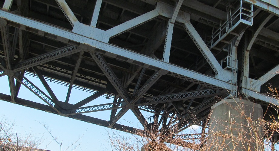
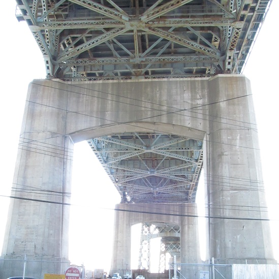
From the east side of the truss on 56th Rd. The last photo looks north along the path of the new K Bridge.
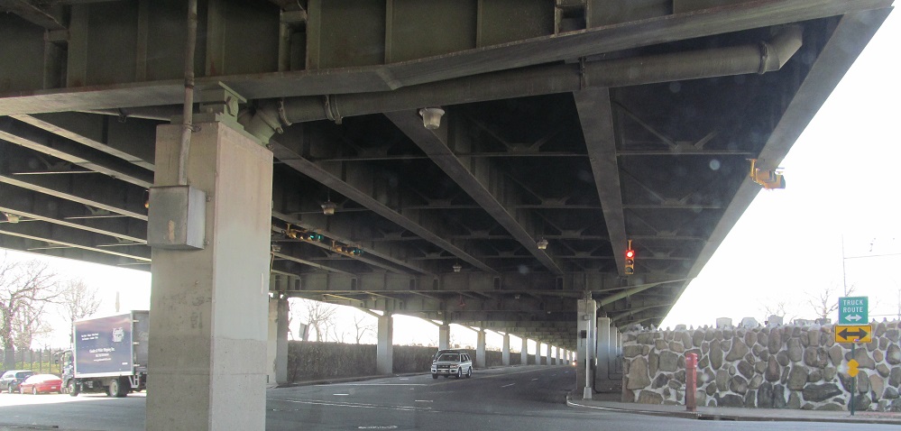
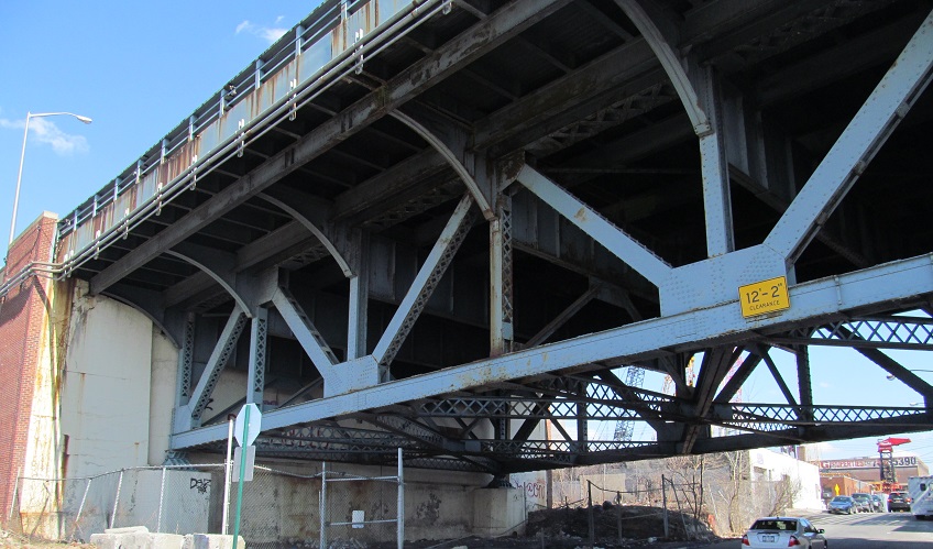
Laurel Hill Blvd. WB at 58th St. underneath I-278. To get the freeway through the cemetery, it had to be built over the boulevard.

Closing it out with a narrow shield on Broadway (of Queens) EB at Exit 40.
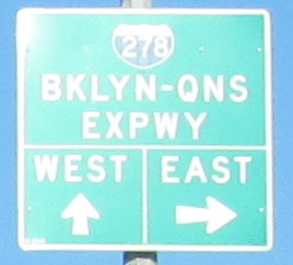
Onto I-278/BQE eastbound
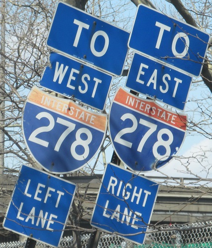
Onto I-278/BQE westbound
West to the Staten Island and Gowanus Expwys.
East to the Triboro Bridge
Back to I-278 main page
See more of Brooklyn
See more of Queens
Back to New York Roads
Back to Roads