Starting north from the Mackenzie Highway (NWT 1), this is one of the clearer versions of this sign assembly in the territory. Trucks are limited to 90% of their statutory per-axle weight on this road. Notwithstanding the patched '9', the '%' is also in need of replacement.
Since completion in 1960, the Yellowknife Highway crossed the Mackenzie River by either ferry or ice bridge, with several weeks of the territory's capital being cut off from the rest of the nation as the ice either formed or broke up. This was finally rectified from 2008-2012 through construction of the signature Deh Cho Bridge. Although it may seem overbuilt for the very low traffic volumes it sees, this is what it takes to span a mighty river that is the region's lifeline.
Crossing the bridge north toward Fort Providence.
On the southward return crossing, it's very clear where the ferry dock used to be, and you can see the old ferry boat across the river. This was, admittedly, a temporary dock while the bridge was being built. It had been in service less than a year when I arrived (11/2012 to 6/2013), hence the remaining trappings of construction.
Click to enjoy a southbound drive across the new Deh Cho Bridge. After several hours of having nothing to listen to but road noise from Fort Liard to here, I present you with the only radio station in Fort Providence, the sweetest sound to my ears at that time.
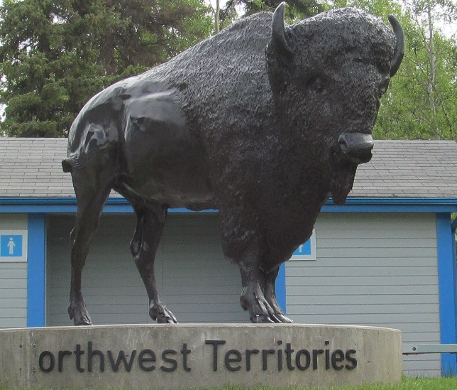
Once across (northward), the NWT-standard sign warns of buffalo for 315 kilometres, which coincidentally is the exact distance to the Yellowknife city limits.
The east end of the Fort Providence access road, which is as far up NWT 3 as I made it on this journey.
The channelized right turn from the access road (one could even call this overkill) merges back into NWT 3 SB with a left curve sign. Yes, the road curves left ahead, but that is not what this sign is for.