New Mexico Roads - Old US 66 - Quay Co. outside Tucumcari & San Jon
Former US 66, Quay County: Outside Tucumcari and San Jon
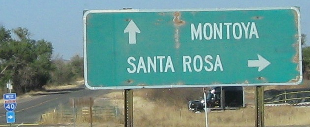
EB and WB at I-40 Exit 311.
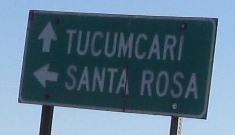
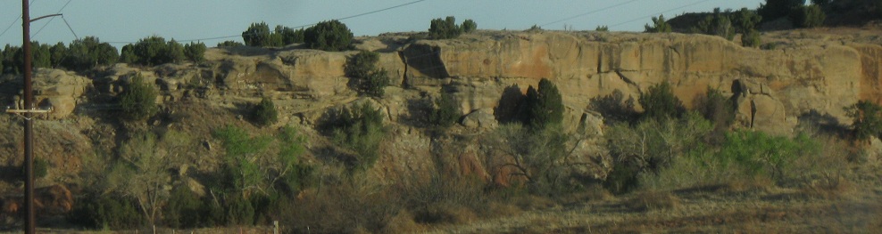
Looking northward in Montoya.
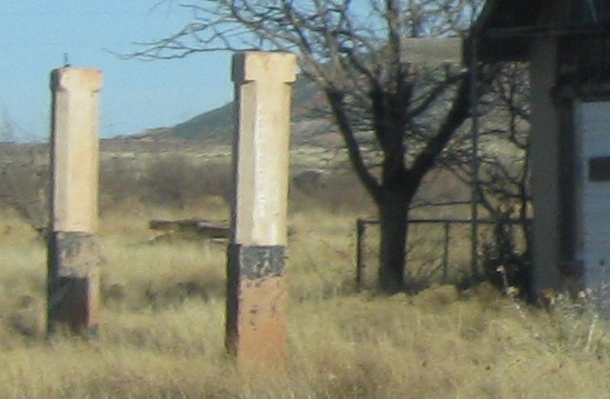

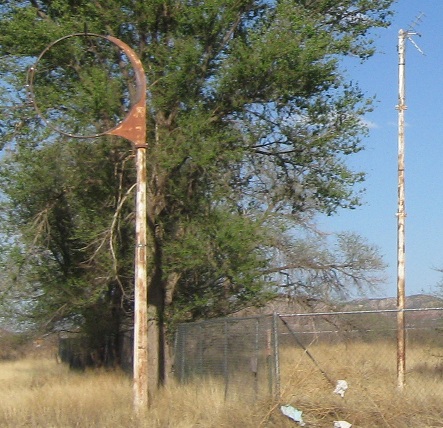
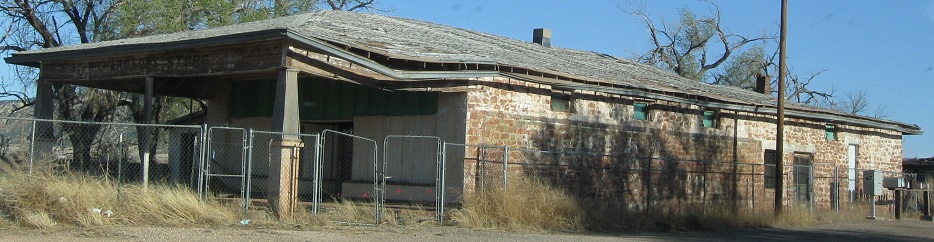
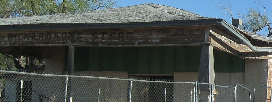
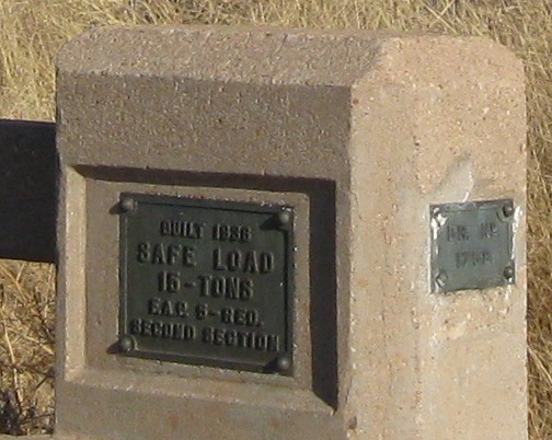
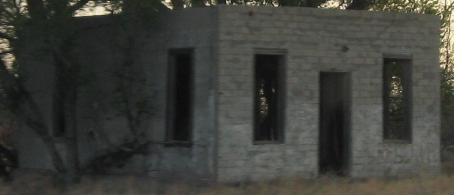
A couple of buildings on the EB side. The pillars may have been holding up a canopy for a gas station or service center.
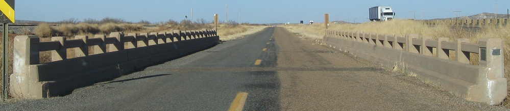

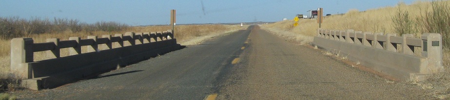
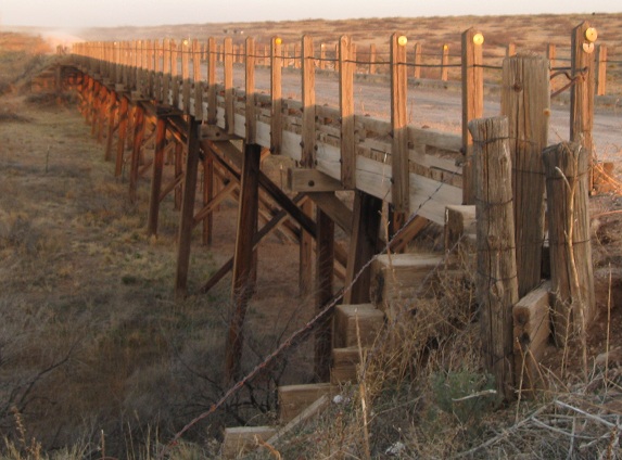
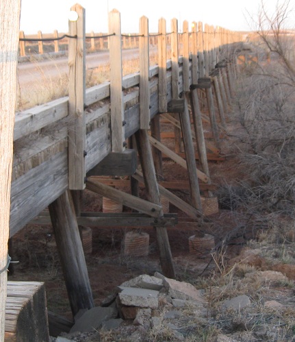
Depression-era bridge east of Montoya. The scenery is to the south, the railroad is to the north.
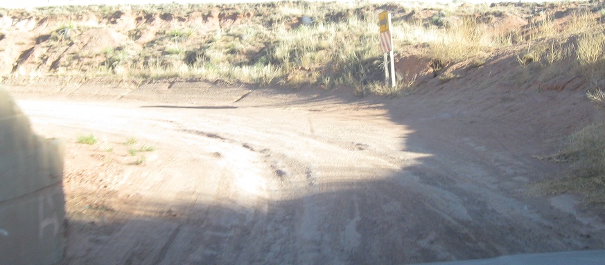
Continuing east, the road crosses another bridge and then comes to the easternmost wash on the road. More common in Arizona and especially California, this is a location dry almost all of the time. In fact, there's not even a path for the water to take under I-40 just to the right, so this must pretty much constantly be dry - except notice that mud has made it across the road. Anyway, rather than bridge something like this, NM just laid the road right onto the landscape, figuring that people would hardly be inconvenienced by something that almost never happens.
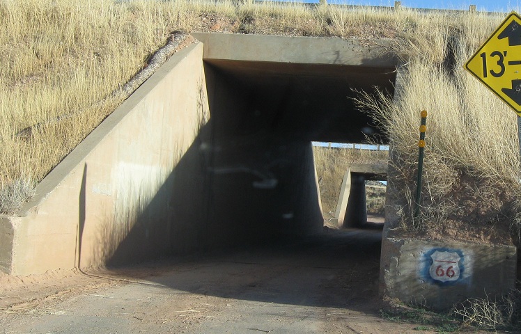
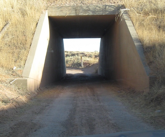
Next up, old US 66 squeezes under I-40 through a glorified culvert. If not for the stencil, you'd swear you made a wrong turn up someone's driveway.
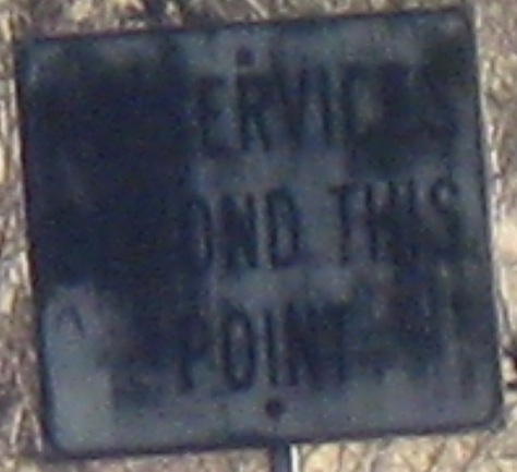
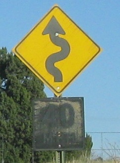
SB at old US 66 from I-40 Exit 321. Once upon a time, there were no services beyond this point. If that was the case even back then, then now there are even less than no services.
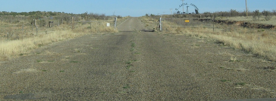

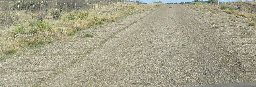
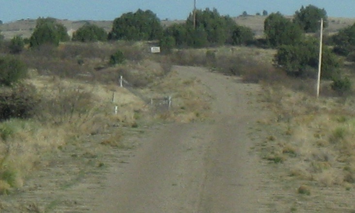
East of Exit 321 is a long dead-end that enters a ranch driveway. Unfortunately, only beyond the gate will you be able to see the old yellow center stripe. I contemplated continuing on to visit the ranch owner, but this seemed a sufficient distance to enter.

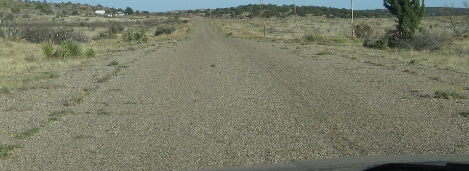
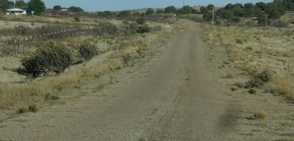
Back out the way I came in, and then on to Tucumcari.
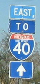
Some EB signs east of Tucumcari (see the Business US 54 link below).
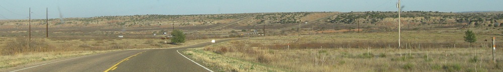
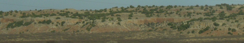
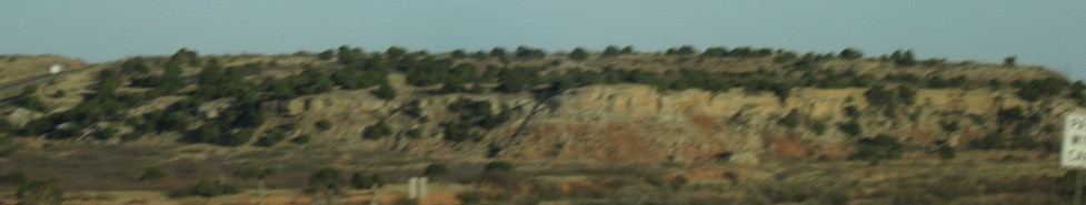
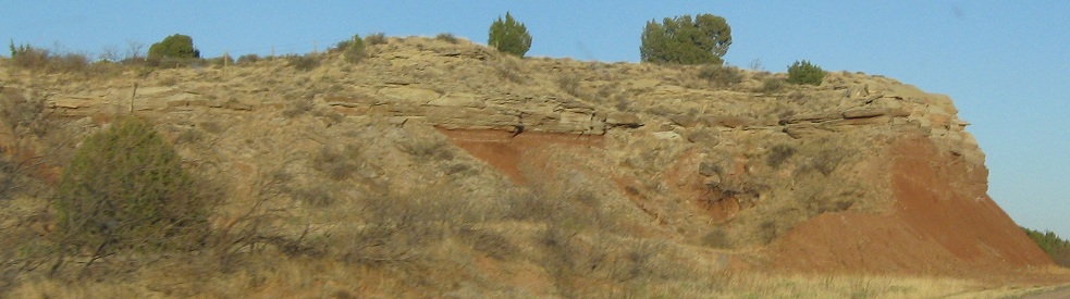
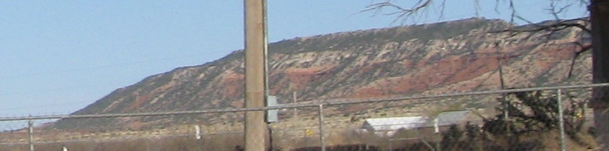
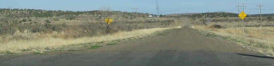
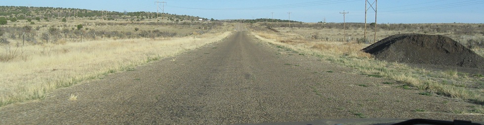
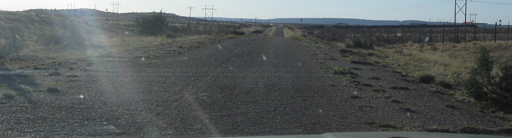
EB desert scenery west of San Jon (see link below).

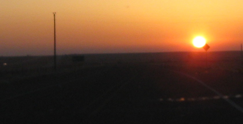
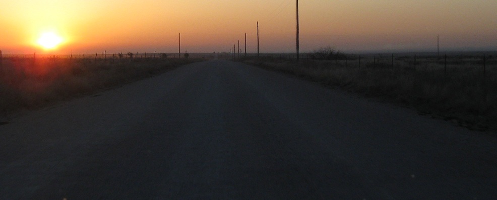
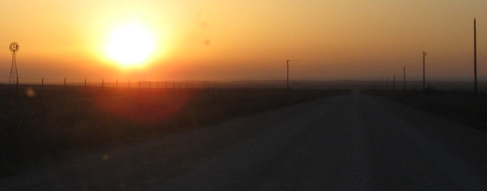

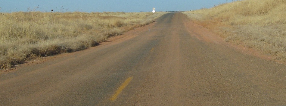
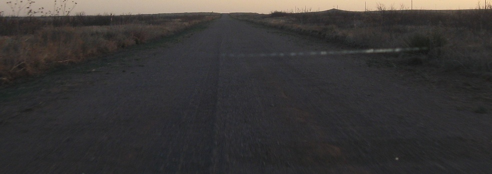
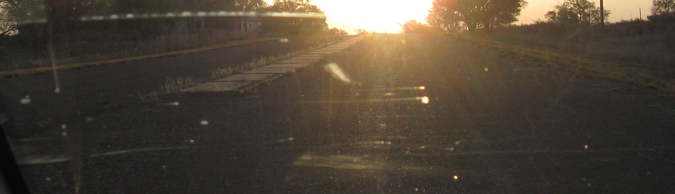
Leaving San Jon at the crack of dawn, continuing ever eastward on the original dirt US 66 trail.
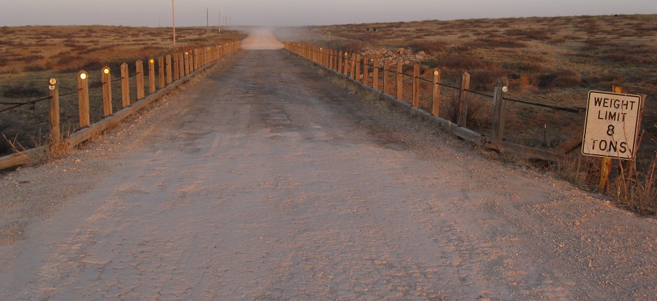
Stopped for a moment at the old wooden bridge and letting the sun help me as I look west.
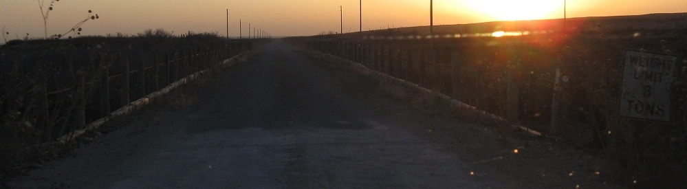
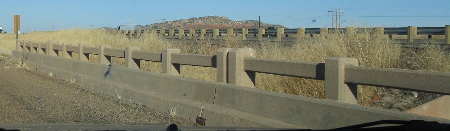
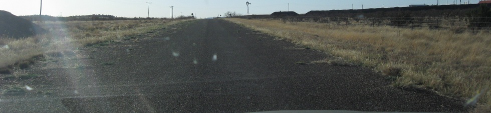
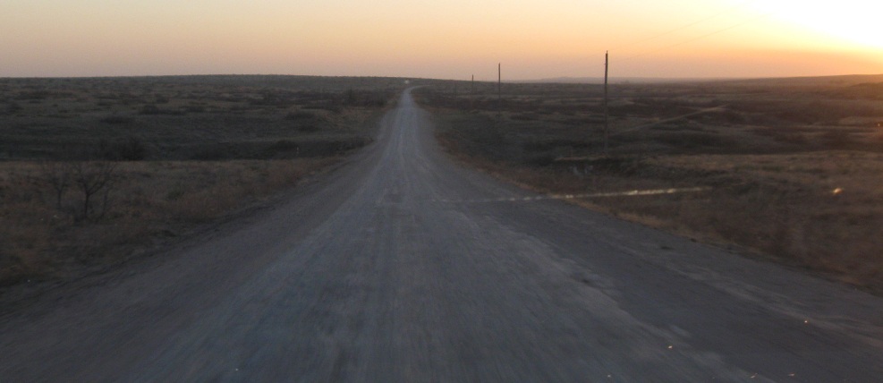
EB and WB views at the next bridge.

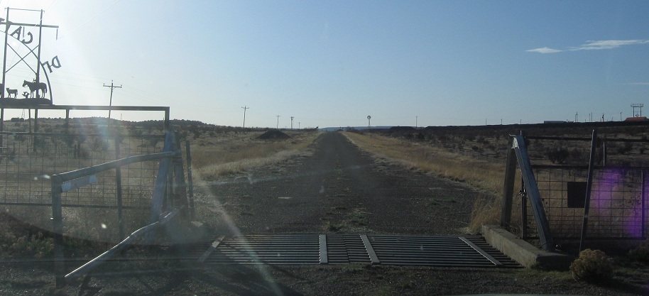
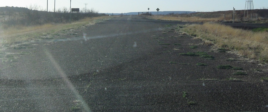
Original US 66 merges into the newer alignment just west of the Texas border, and pavement resumes as a result. "Modern" US 66 follows the north side of I-40 to the east of San Jon and is cut off at NM 392. The last piece from there to here is cut off by I-40 and now on private land. Anyway, just like at San Jon (see link below), the highway now widens out to 4 lanes for a meaningless dot on the landscape.
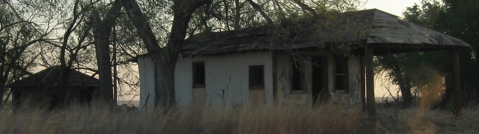
Glenrio is equally abandoned on both sides of the border. It's a lot less impressive than Bristol, VA-TN.
Continue west on old US 66 to US 84/Business I-40, Santa Rosa
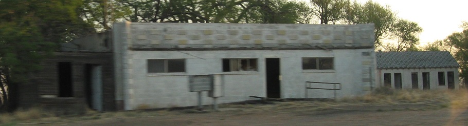
See more of old US 66 in Quay County: Business US 54 and Tucumcari, San Jon
Back to Quay County main page
Back to US 66 main page
Onto I-40 (US 66's successor)
Back to New Mexico Roads
Back to Roads