New Jersey Roads - Route Log - Ends - 7/11N
NJ 7/Historic NJ 11N Ends
11N was renumbered to become the northwestern section of 7 in 1939. Until then, 7 was planned as a continuous route north from the end of the southeastern section, but likely signed on 11N.
Eastern End (Southeastern Section)
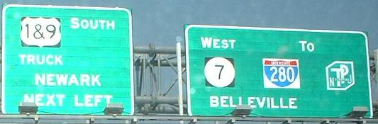
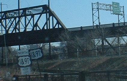
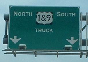
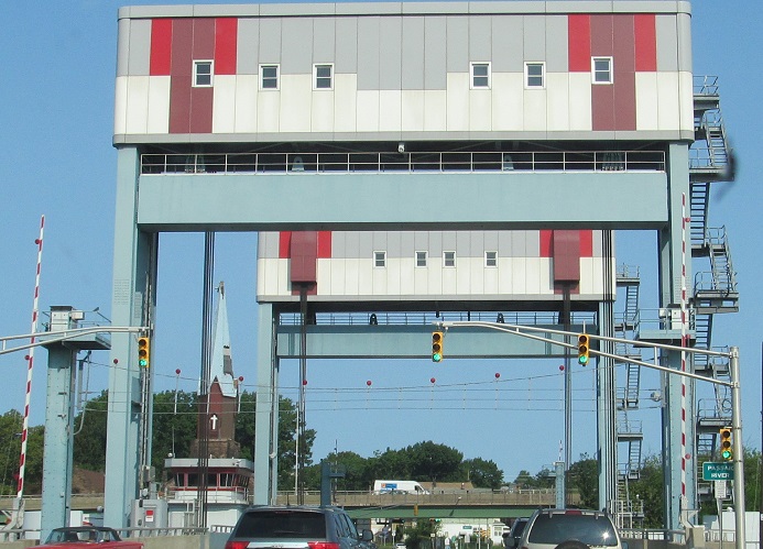
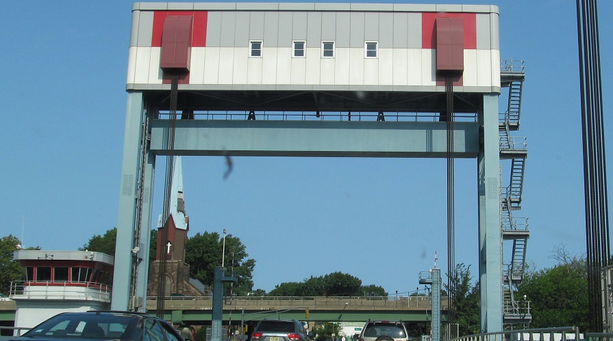
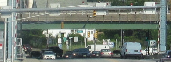
7 ends at US 1 Truck/US 9 Truck in Jersey City at the former Charlotte Circle.
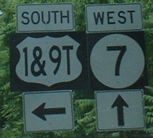
1/9 Truck south at the beginning of 7 prior to construction of the new Wittpenn Bridge.
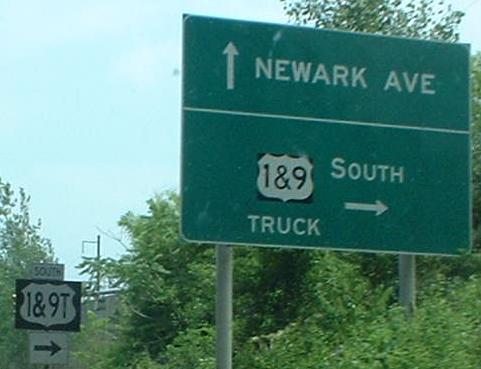
7 east at its end, continuing on the ramp toward 1/9 south.
See the US 1/9 Truck/NJ 7 construction page for additional photos.
Western End (Southeastern Section)
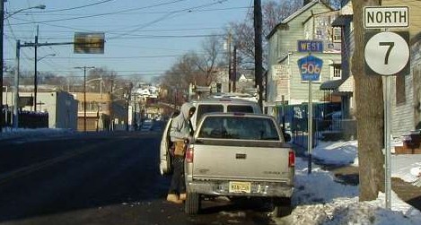
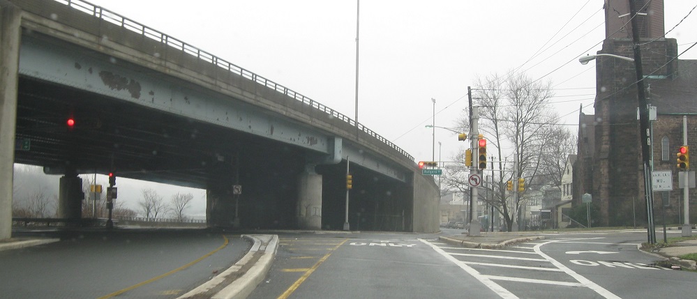
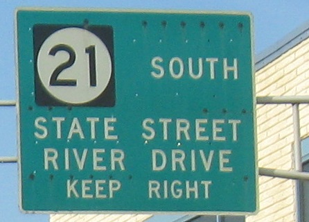
7 ends at NJ 21 and CR 506 in Belleville.
506 east ends at the NJ 21 overpass above and 7 east begins.
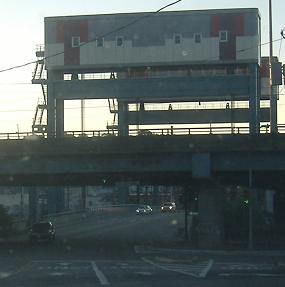
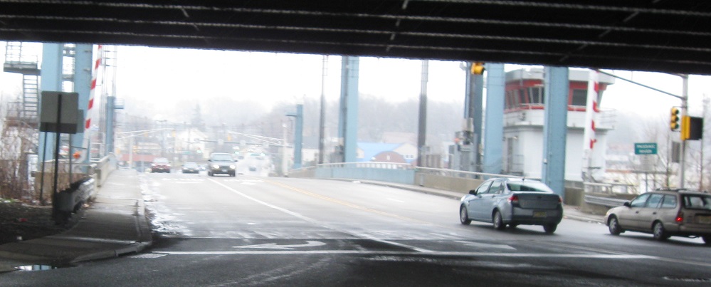
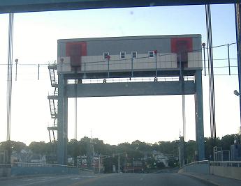
7 west ends across this drawbridge and 506 begins.
7 north/506 west reassurance signage as 506 begins. Officially, 7 west ended at the bridge just behind this photo and 7 north-south is straight ahead on Washington Ave. Second photo was taken 12/8/02 by Charlie O'Reilly.
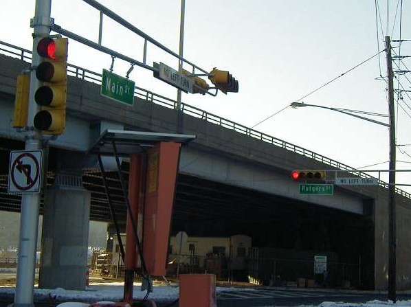
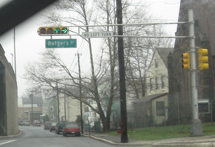
Main St. south at 506 and 7, in the shadow of the NJ 21 freeway. 7 is to the left and 506 is to the right.
Southern End (Northwestern Section)
7 begins along Washington Ave. at the Newark/Belleville border.
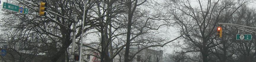
Mill St. west at the beginning of 7 to the right.
Northern End (Northwestern Section)
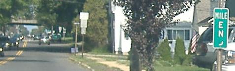
7 begins along Cathedral Avenue at the Nutley/Clifton border. Some signs suggest 7 continues to NJ 3.
7 ends at the border. 3 is on the overpass in the background.
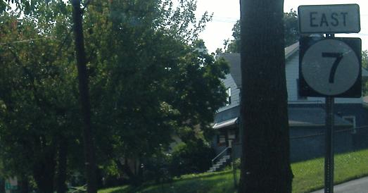
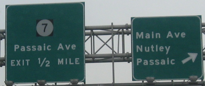
First reassurance on 7 south. East/south and west/north are often interchanged on 7 signs, but the entire route is officially south-north.
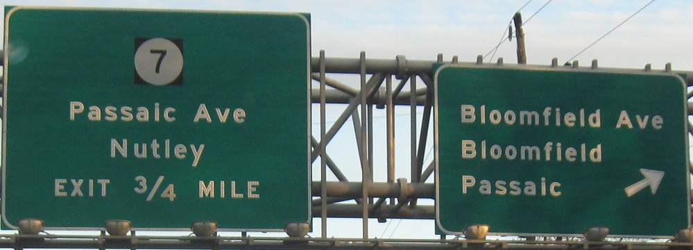
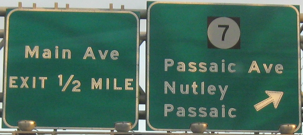
3 east at Passaic Ave., which becomes 7 as it enters Nutley to the south.
3 west at Passaic Ave.
Historic Northern End
From 1929-1939, 7 was defined along an unbuilt routing on both sides of the Passaic River. Part of this became what is now NJ 21 and the east side was simply never built. However, 7 was signed along its original 1927 route (officially NJ 11N in 1929) into downtown Passaic, probably ending along Main Ave. at signed NJ 3 (River Dr.). 7 officially took over 11N in 1939 and was then on its current, 2-section routing.
Passaic CR 601/historic 7 (Main Ave.) north into downtown Passaic, approaching the merge from River Dr./signed historic 3 west.
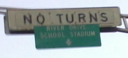
Historic 7 south at Gregory Ave., which is one-way east toward River Dr. to replace the original signed divergence of 3 east.
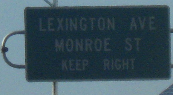
Main St. north/historic 3 west from the end of historic 7. 3 was signed to continue on Lexington Ave. toward its official route on what is now NJ 20.
Original Northern End
From 1927-1929, 7 was a continuously defined route ending along Main St. in Paterson, likely at Market St. (original 5).
Looking north along Main St. at the southwest corner of Market St. and the original end of 7 north.
This is the northeast corner of Main and Market Streets. 7 ended here and 5 originally began to the right.
Back to NJ Route Ends
Back to NJ Route Log
Back to NJ Roads
Back to Roads