New Jersey Roads - Route Log - Ends - 44
NJ 44 Ends
44 was part of US 130 and the designation was removed in 1953, but was then assigned to old alignments of US 130 as they were bypassed, including its current alignment and the segment of former 130 from its current end in Pennsville to the intersection with Hollywood Rd. in Carneys Point. This lasted until 1968, when completion of 295 north of Hollywood Rd. closed the former connection at that point and 130 was returned to its former alignment, obliterating the southern segment.
Original Southern End
44 ended along Broad St. in downtown Penns Grove at what was NJ 48 (Main St.) until 1935.
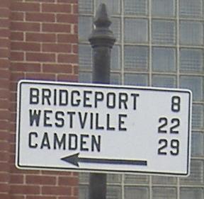
This sign is original to when 48 east came from the Wilmington ferry into downtown Penns Grove. 44 north began to the left.
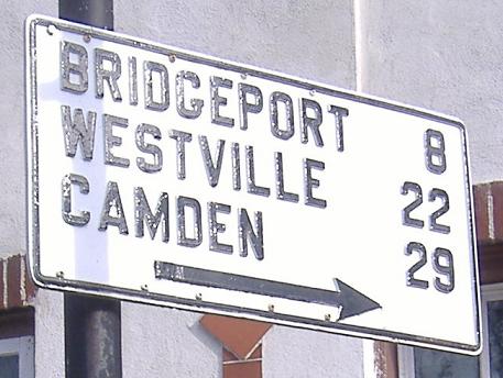
Historic 48 west at historic 44 north.
Historic Southern End
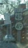
In 1935, 44 was extended south to end at the NJ 45/NJ 49 junction in Salem, where it remained until 1953.
Historic Southern Segment - Southern End
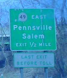
44 ended at 130 (now 295), US 40, the west end of NJ 49, and the south end of 700 (NJ Turnpike) in Pennsville.
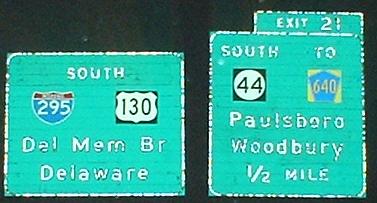
What was then 44 south at its end, now 130 south. It continues straight as 49 east. Second photo taken by Adam Froehlig.
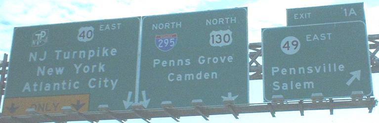
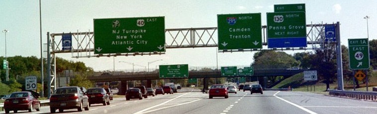
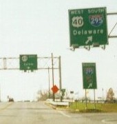
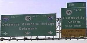
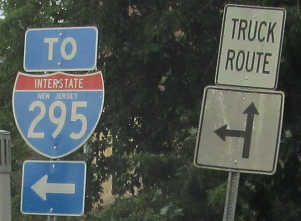
295 north/40 east at the beginnings of historic 44, 49, 130, and 700. Second photo taken by Alex Nitzman and third photo taken 8/10/99 by Ray Martin.
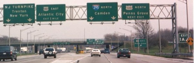
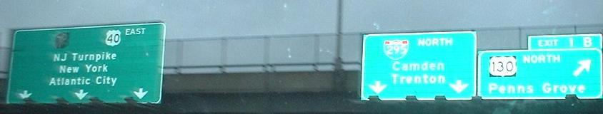
Old signs corresponding to the second photo above. Taken 3/95 by Alex Nitzman.
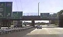
Advance signage on 40 west/700 south for an exit on 40 west/295 south, and then the overhead signage on 40 west/295 south right after 700 south ends. Second photo taken 1/15/02 by Ray Martin.
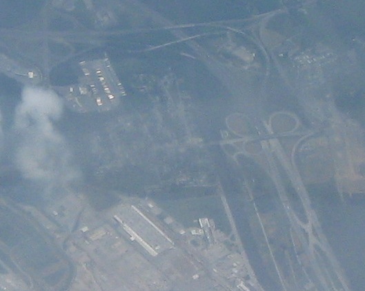
Aerial photo of the NJ side of the Delaware Memorial Bridge. 44 entered from center left (obscured by smoke) and ended over 40/295 right of center.
Historic Southern Segment - Northern End
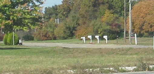
44 ended at Hollywood Rd. in Carneys Point, which was then 130.
Southern End
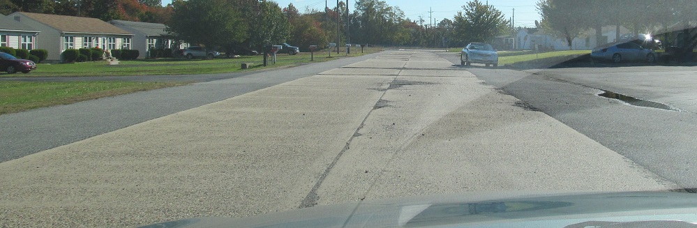
44 ends at Baker Ave. in Bridgeport by US 130.
Looking southwest from the Baker Ave. intersection, former 44/130 continues diagonally as a dead-end road, Springer Ave.
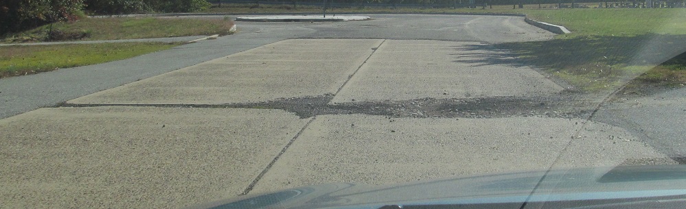
Springer Ave. east at its dead end, facing the Baker Ave./44 intersection.
Historic Northern End
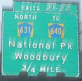
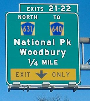
Until the 2019 Straight Line Diagrams, 44 ended at Delaware St. (Gloucester CR 640) in West Deptford.

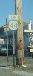
44 north at its historic end.
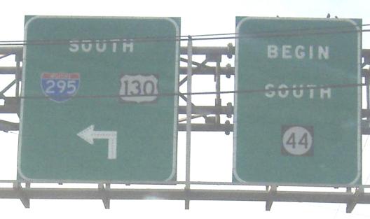
44 south was signed as beginning south from CR 640.
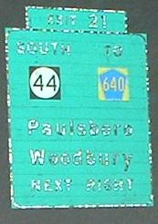
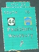
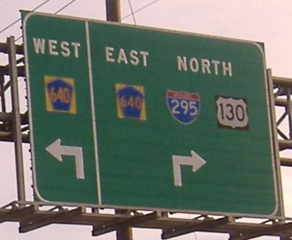
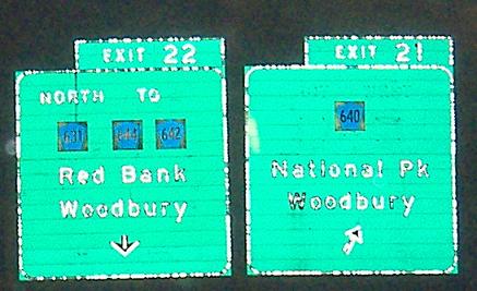
I-295 south at the ramps south of CR 640 where the 44 south "Begin" sign was fount.
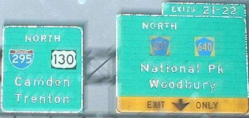
From 295 north, Exit 21 to CR 640 leaves from a C-D road that extends through Exit 22. The new (2019) definition of 44's north end is along the corresponding frontage road along 295 south.
Northern End
44 ends at a U-turn along I-295 south in West Deptford. It was extended north along a state-owned ramp in 2019.
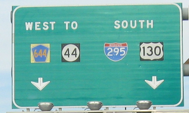
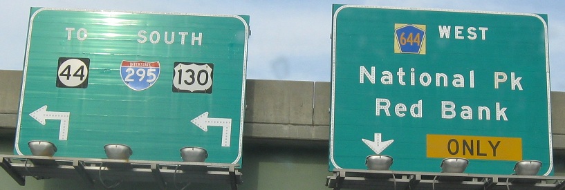
Gloucester CR 644 (Red Bank Ave.) west at 295. The entrance ramp to the left leads to the new north end of 44.
South on the entrance ramp from CR 644. The ramp to the right joins the north end of 44 at its U-turn.
44 north at its former end at Delaware St.
44 south is signed as beginning at the 295 south ramps south of CR 640.
Original Northern End
44 ended along Crown Point Rd. at NJ 47 in Westville until at least 1947, when the current US 130/NJ 45 interchange was built. It may have remained part of 44 until 1953 so I am not including 130/45 as a historic end on this page.
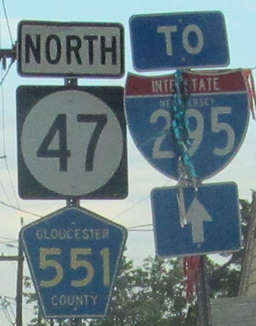
47 north and now CR 551 north from their southern junction to the historic end of 44 a block to the north. 44 south was a sharp left from here and the regular left is River Dr.
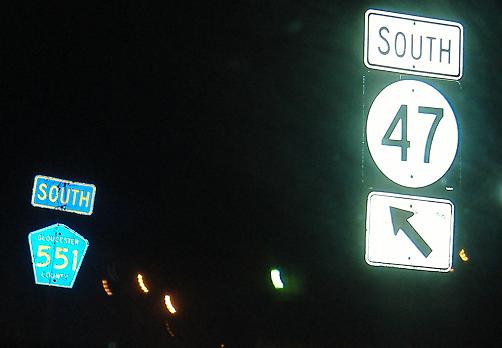
47 south and now CR 551 south from the historic end of 44.
Back to NJ Route Ends
Back to NJ Route Log
Back to NJ Roads
Back to Roads