New Jersey Roads - Route Log - Ends - US 130
US 130 Ends
Original Southern End
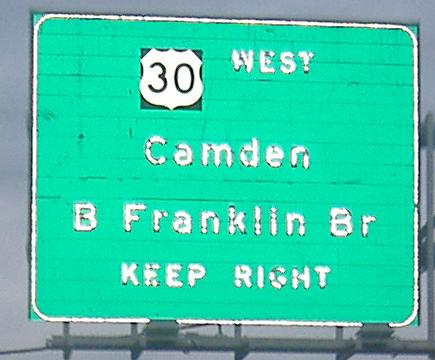
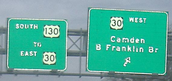
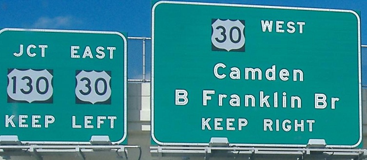
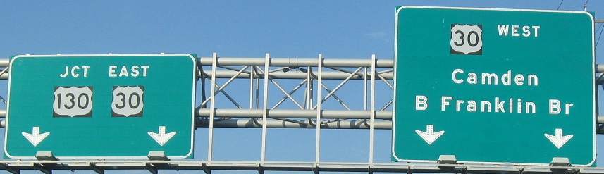
US 130 ended along Linden St./Penn St. at US 30 (now 7th St.) at the base of the Ben Franklin Bridge in Camden until 1929.
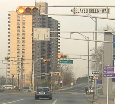
Looking north along 7th St. (historically US 30 west) from Federal St. toward the overpass of I-676/US 30 that was the original location of the Penn St. intersection. 130 north began to the right in the background.
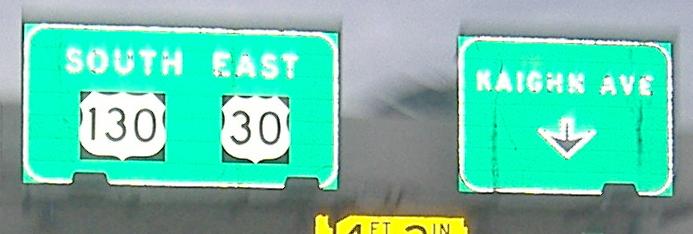
7th St. south at Cooper St. This was once 30 east a block from the beginning of 130 north and two blocks from the end of 130 south.
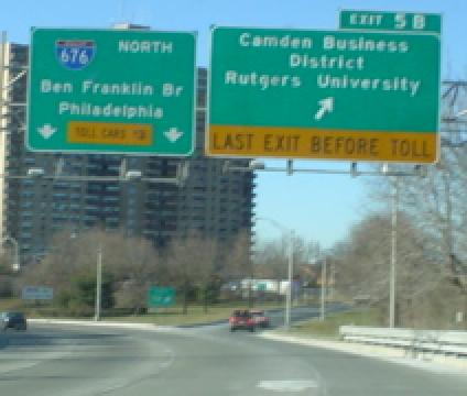
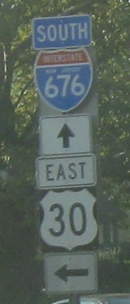
Exit 5B from I-676 north meets Linden St. just east of the former south end of 130. The path of 676 north curving to the left is roughly in line with where Penn St. (130 north) met 7th St. (30) at the original bridge plaza.
Historic Southern End
In 1929, US 130's southern end was relocated to Airport Circle (US 30 and now NJ 38) in Pennsauken.
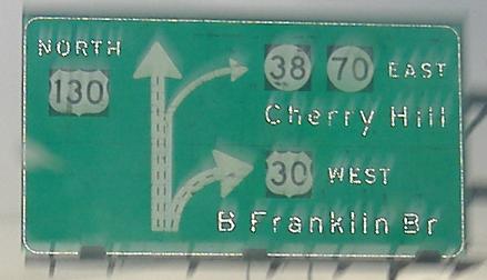
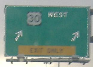
30 west/130 north at Airport Circle, historically 30 west at the beginning of 130 north.
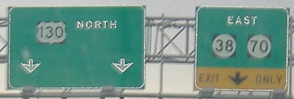
130 north from 30 in the circle.
130 south at and in Airport Circle. 30 east is on a flyover ramp and has not yet joined, but historically, 130 ended where it met the circle before the flyover was built.
30 east at the historic beginning of 130.
38 west approaching Airport Circle.
Historic Extended Southern End
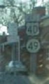
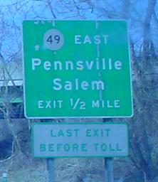
130 was extended south along NJ 44 to Deepwater, then along US 40 (now NJ 49) from Old Pennsville-Auburn Rd. to the ferry in Pennsville, until the Delaware Memorial Bridge opened in 1951.
Southern End
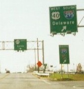
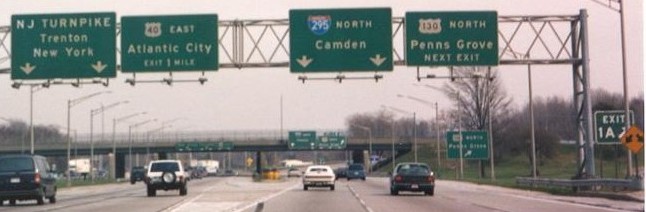
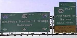
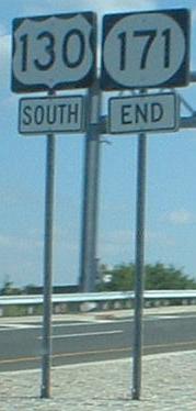
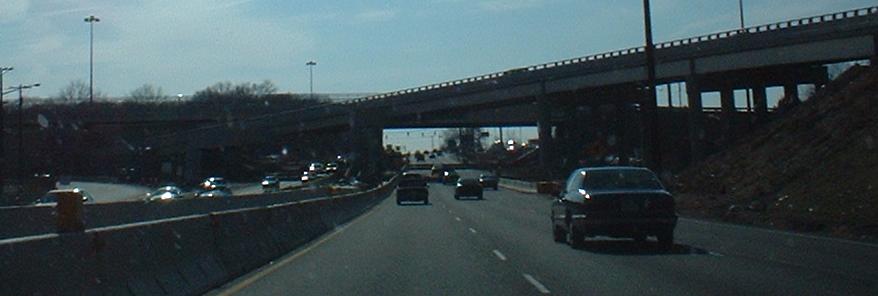
130 ends at I-295/US 40, the west end of NJ 49, and the south end of 700 (NJ Turnpike) in Pennsville.
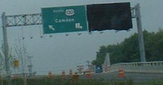
130 south at its end. It continues straight as 49 east. Second photo taken by Adam Froehlig.
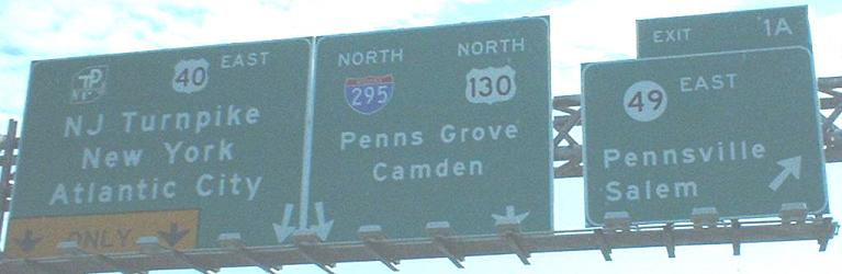
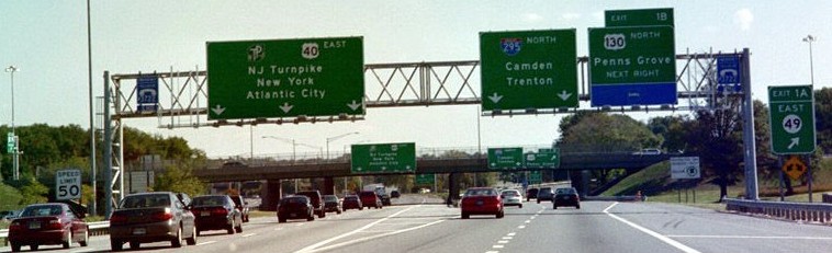
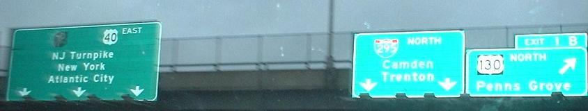
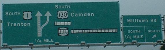
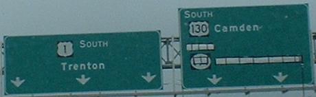
295 north/40 east at the beginnings of 49, 130, and 700. Second photo taken by Alex Nitzman and third photo taken 8/10/99 by Ray Martin.
Old signs corresponding to the second photo above. Taken 3/95 by Alex Nitzman.
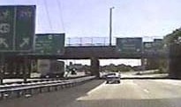
Advance signage on 40 west/700 south for an exit on 40 west/295 south, and then the overhead signage on 40 west/295 south right after 700 south ends. Second photo taken 1/15/02 by Ray Martin.
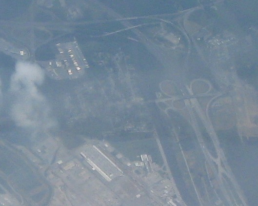
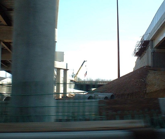
Aerial photo of the NJ side of the Delaware Memorial Bridge. 130 enters from center left (obscured by smoke) and ends over 40/295 right of center.
Original Northern End
US 130 ended at original US 1 in downtown Trenton until 1935, which later became the junction of US 206 and US 1 Alternate.
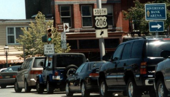
This was 1 Alternate north/206 south where they split on Livingston St. 130 south historically began to the right and 1 went to the left. Taken 5/23/02 by David Greenberger.
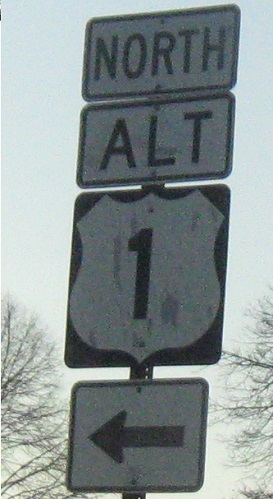
This sign pointed along 1 Alternate north/206 south from 1 Alternate south, originally a turn toward the beginning of 130 south. Taken in 2005.
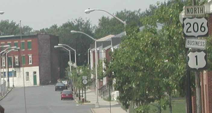
The first reassurance signage on signed 1 Business north/206 north, historically 1 north from the end of 130. Taken 6/23/02 by Chris Mason.
Northern End
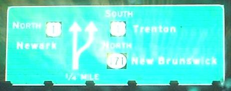
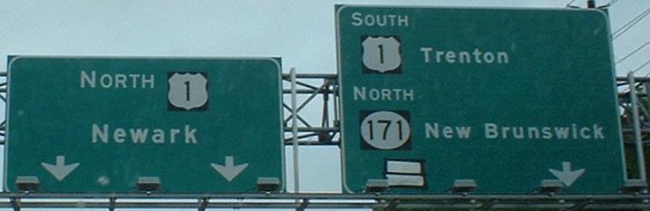
130 ends at US 1 and the south end of NJ 171 in North Brunswick. This was also its end from 1935 to 1938.
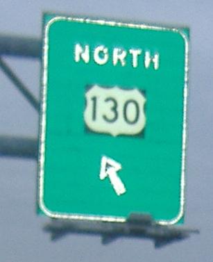
130 north.
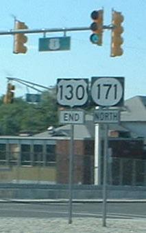
171 south onto the beginning of 130 south.
1 south at the beginnings of 130 and 171. The last photo is on the ramp. 130 officially ends at the junction with the ramp to 171 that branches to the right. Photos taken in summer 2003 before construction was complete.
1 south under the new ramp to 130 south, then looking southeast along 130. Photos taken in summer 2003.
The top of the 1 north ramp to 171/130. 130 south is to the right and the bridge is over the ramps from 1 south-130 south and 130 north-1 north.
Historic Northern End
In 1938, US 130 was extended beyond its current end into downtown New Brunswick, ending along George St. at original US 1 (NJ 27/CR 514/CR 527) until 1963, or possibly earlier in 1958. This later became the northern end of 171.
527 north at 27/514, where 130 north ended. 527 turns left on 27 south/514 west. Taken by Chris Mason.
Back to NJ Route Ends
Back to NJ Route Log
Back to NJ Roads
Back to Roads