New Jersey Roads - NJ 33 - Mainline
NJ 33 mainline


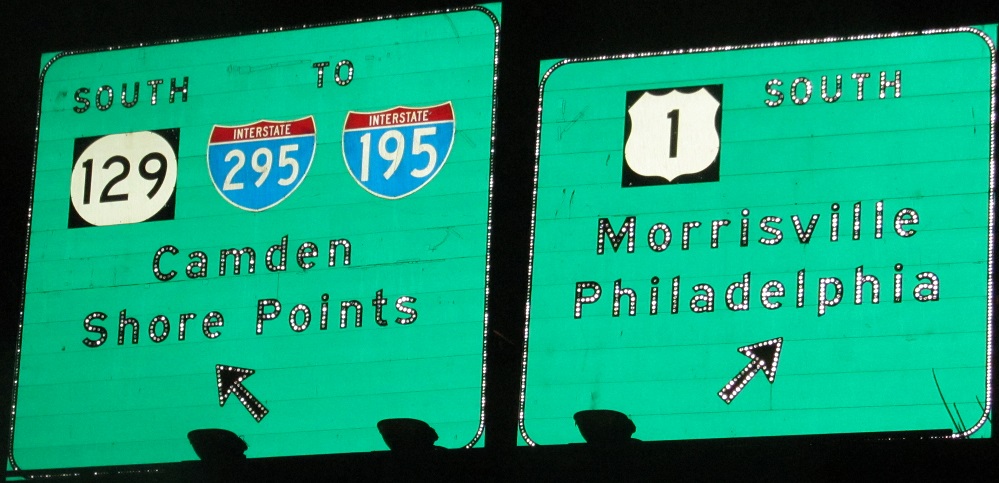
One block north of NJ 33 and west of US 1 is the onramp to US 1 SB, with a mélange of ramps for movements to the NJ 129 interchange just to the south. Click the BGS for snazzy nighttime shot.
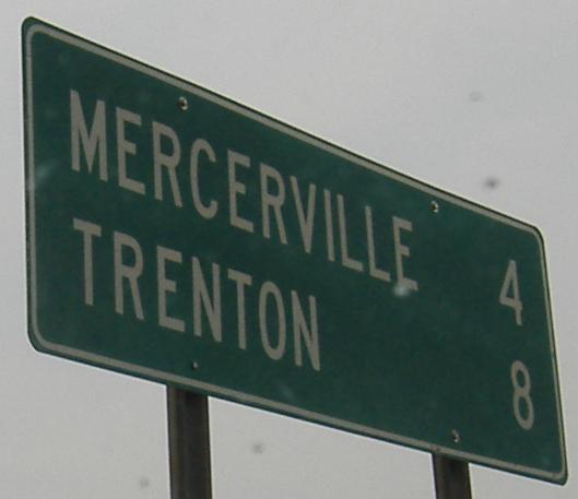
Ages old westbound BGS (yes, BGS, because it has button copy), maybe as old as the Trenton Freeway.
EB just past US 1 and the jughandle for the NB onramp.
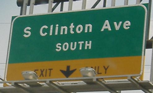
The highlight of the Clinton Ave. intersection, though, is the north side, where Clinton crosses the Northeast Corridor.
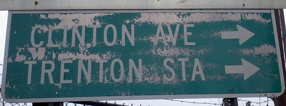
Almost as cool are the signs in the northwest corner of the intersection. The first sign is WB, buried in the overgrowth on the rail line fencing, and the top half is already covered. I'd love to know what it said. Maybe it once referred to a now-prohibited left turn. The second sign is for Clinton Ave. SB.
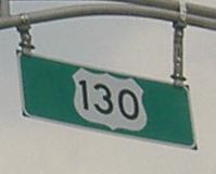
WB on the four-lane road west of US 130.
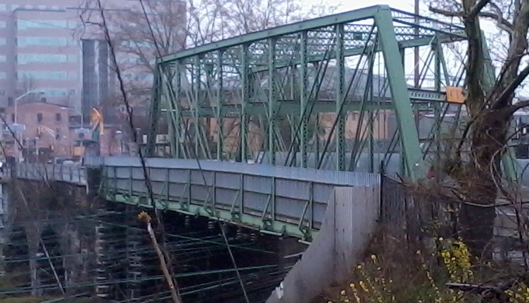
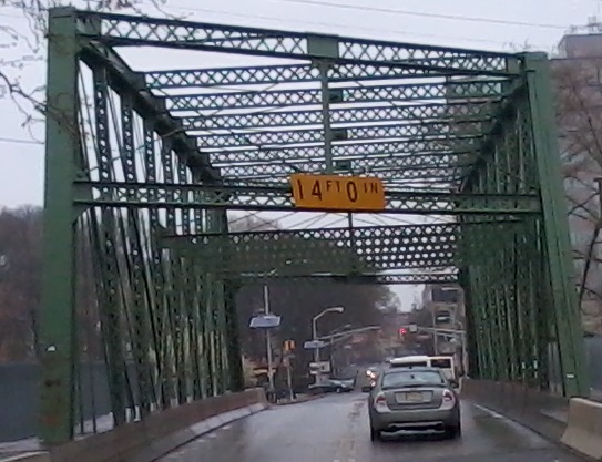
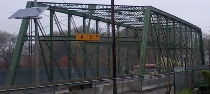
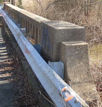
Old bridge looking east from NJ 33 EB/US 130 NB along Windsor Rd.
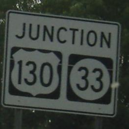
WB approaching the other end of the US 130 multiplex, west of Hightstown. First of all, you can't junction the route you're on, and second of all, this is NJ, show some black-background respect?
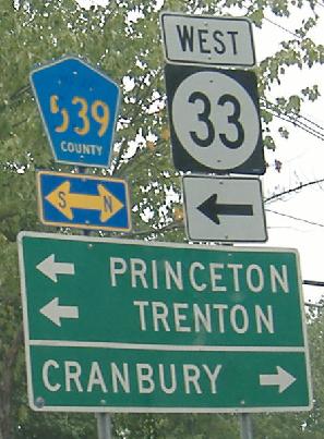
WB inside Hightstown, where this signal plus the multiplexed part of NJ 33/CR 539 were the impetus for the construction of NJ 133 to the north. See the CR 539 link below for a cool photo from the short duplex.
The merge of the NJ 33 EB (here) and WB ramps to the old NJ Tpk. Interchange 8 toll plaza is complicated by a service road to the maintenance yard.
This sign was past the toll plaza, left to fade because the new interchange was about to open.
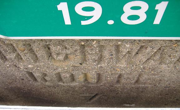
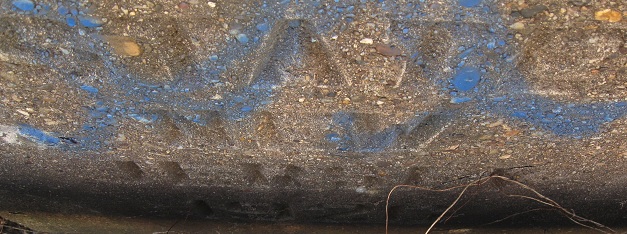
From Hightstown on eastward, NJ 33 is original NJSHR 7, as seen on an old alignment over Millstone River just east of Millstone Rd.
The freeway has just begun, and there's already button copy (left and right sides of the same gantry).
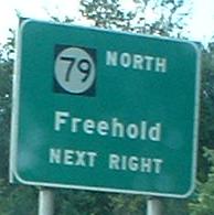
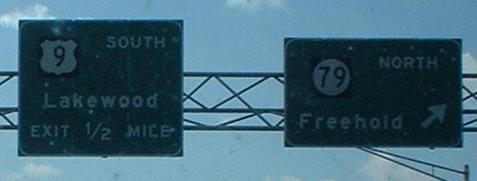
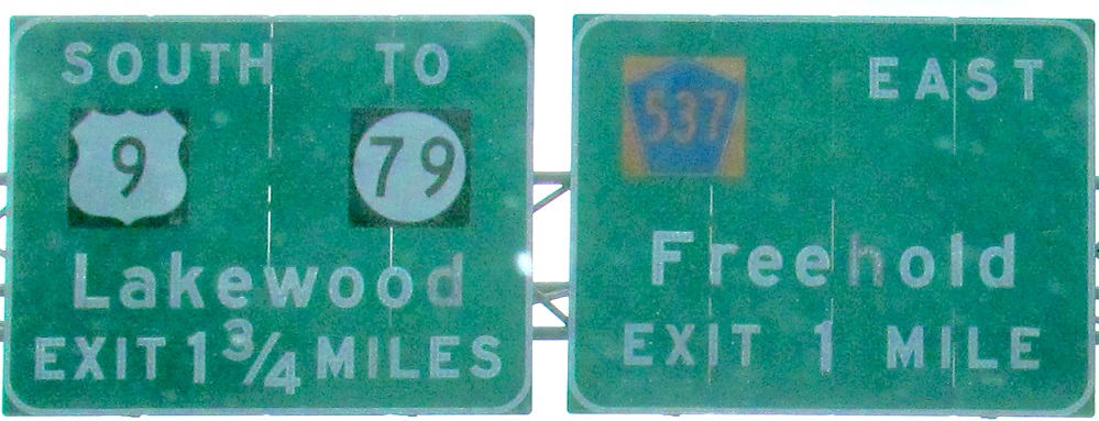
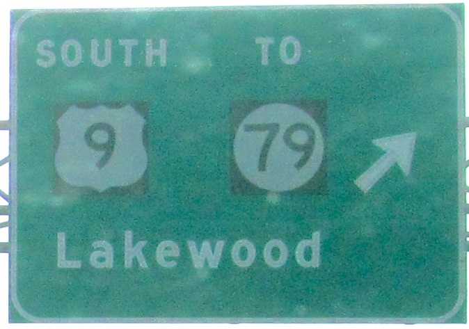
The panels that compose the signs in the last photo have mysterious gaps in them. Gee, I can't imagine a contractor cutting costs. What's going on here, westbound, is that NJ 79 meets US 9 just south of the intersection, so WB traffic to NB US 9 should use SB 9 and U-turn (same for EB traffic heading north to 9 or 79). Not like anyone tells you this, though.
EB, same location, left and right on the same gantry.
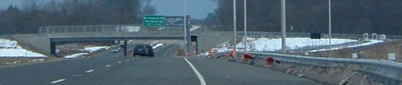
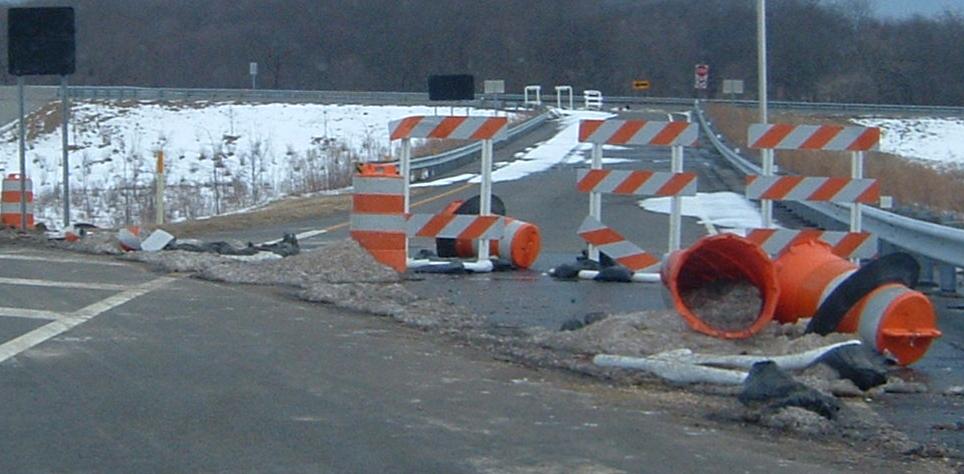
This is eastbound on the Super-2 freeway, with covered 1-mile and advance signs and a snowed-over, closed-off, half-diamond exit (EB-off, WB-on). Rather than waiting for the freeway to be expanded to four lanes (like that'll ever happen), this exit for Howell Rd. is actually going to be killed instead - but the entrance ramp survives. For once, unnecessary sprawl-inducing exits lose! These are courtesy Scott Colbert.
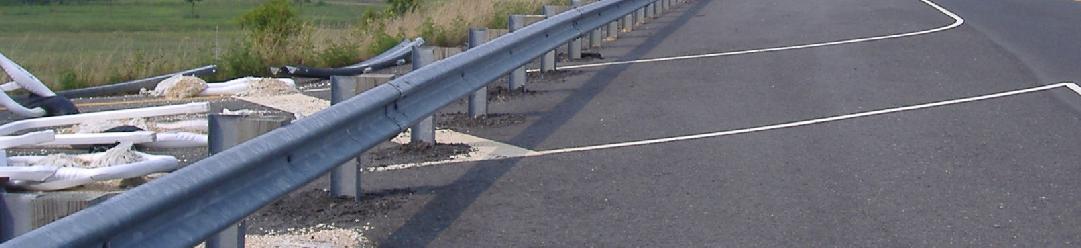
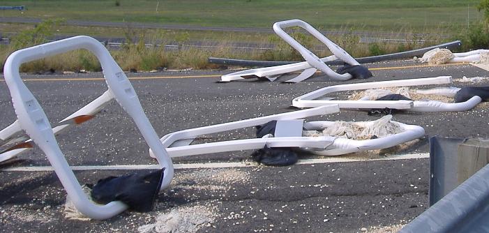
On Howell Road itself, you can see that the guiderail was laid directly over the ramp just to prevent couples from parking there at night. No, I don't know the real reason, but it's a new development, as is the removal of the signs you see in Scott's last photo above. The next step is probably removing the unnecessary barricades now lying behind the rail.
Looking down the ramp toward NJ 33 EB.
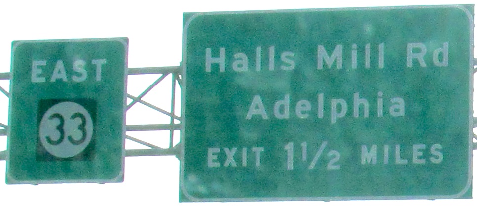
East of Hall Mill Rd., as I said, there is a Super-2. As you can see (facing west), the bridges were designed to hold four lanes, and the entire highway as far as I can tell can be upgraded to full freeway. Traffic counts and/or local politics won't let that happen just yet, though.
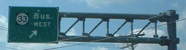
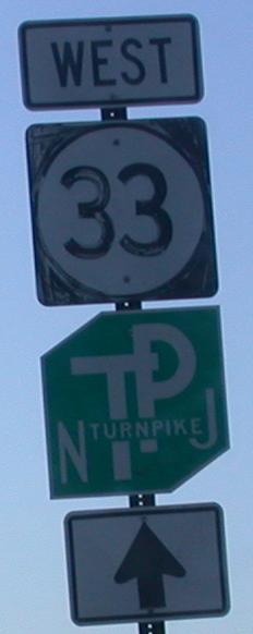
At the WB beginning of the bypass, Business 33 is old NJ 33 through Freehold. Then again, maybe it's Bus 33. See, usually, to abbreviate a route designation, one would use capital letters, such as ALT or TRUCK or even BUS.
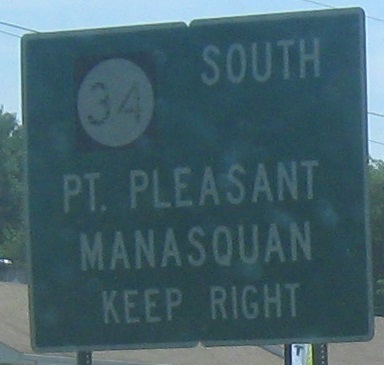
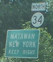
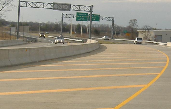
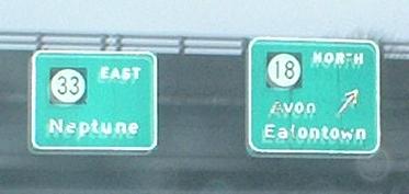
NJ 33 EB and WB, respectively, along with the displayed directions of NJ 34.
Victoria Boulevard, which will connect NJ 33 and NJ 66 just east of the Garden State Parkway. A controversial overpass and associated mall development was just signed into existence, so this path will soon be finished and striped. These photos are both from/of NJ 33 WB, courtesy Scott Colbert; there are two more on the NJ 66 page linked below.
 An old, stenciled EB route sign - and the stenciled numerals are off-center - and, courtesy Scott Colbert, its WB counterpart.
Point Pleasant would have been south of NJ 18 on NJ 35 had the 18 freeway been finished southward to the NJ 34/35/70 "Brielle Circle" intersection (former circle, obviously). Instead, you get a few extra miles without traffic lights by following 18 to NJ 138 to 35 instead.
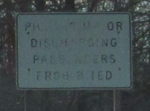
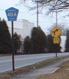 Imperfect font, and why the hyphen?
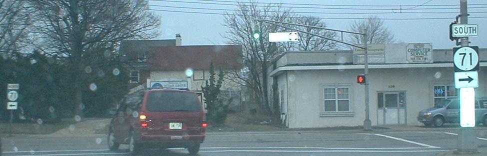
The end at NJ 71.
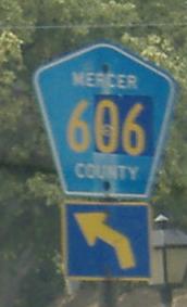
Onto CR 539 and NJ 33/CR 539
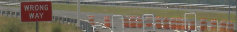
Construction at NJ 133/NJ Turnpike
Back to NJ 33 main page
Onto US 1
Onto NJ 129
To I-295
To I-195
To NJ Turnpike (I-95)
Onto US 130
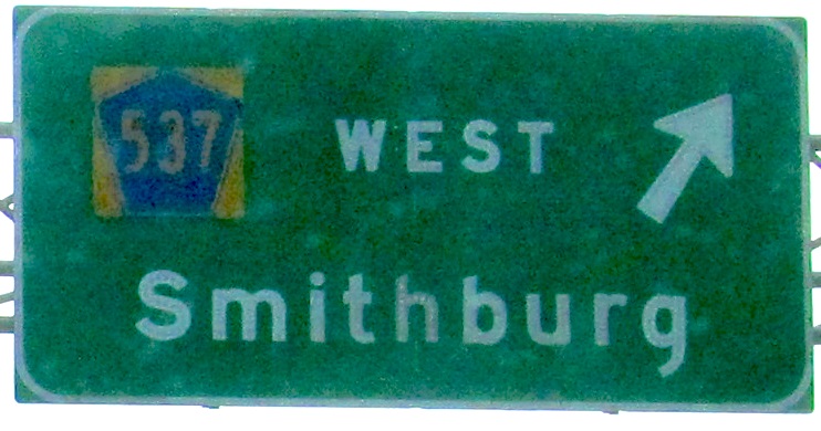
Onto CR 537
Onto US 9
Onto NJ 79
Onto Business 33
Onto NJ 34
Onto NJ 66
Onto NJ 18
Onto NJ 71
See more of Mercer County
See more of Monmouth County
NJ 33 freeway on Steve Anderson's nycroads.com
Back to New Jersey Roads
Back to Roads