New Jersey Roads - NJ 21 - McCarter Hwy.
NJ 21, McCarter Highway
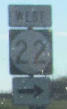
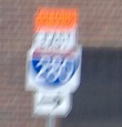
About as far south as you can find an error on NJ 21, at its southern terminal interchange with US 22 and US 1-9.
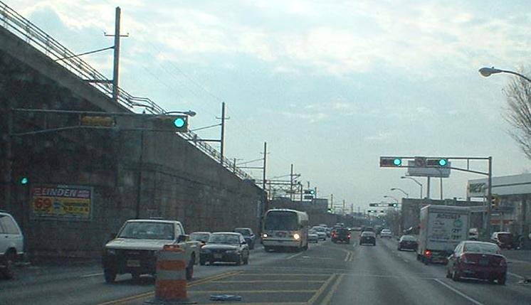
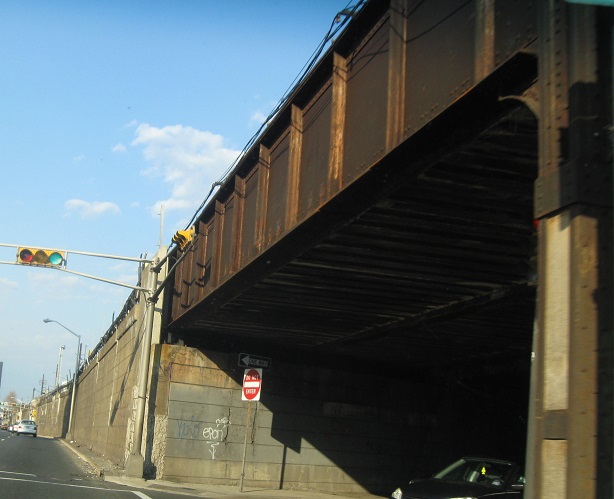
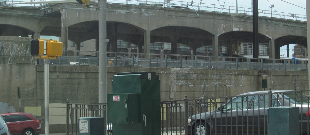
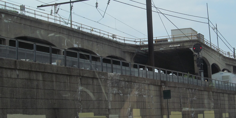
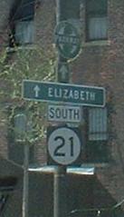
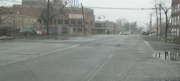
Looking southward from Elm St. along McCarter Highway, where it parallels New Jersey Transit tracks for quite some distance before the viaduct that takes it to its end.
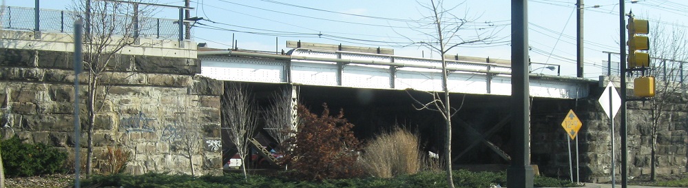
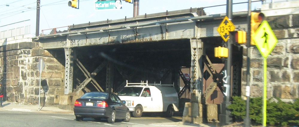
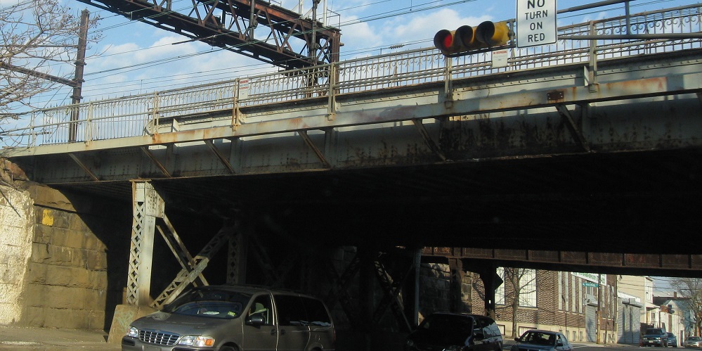
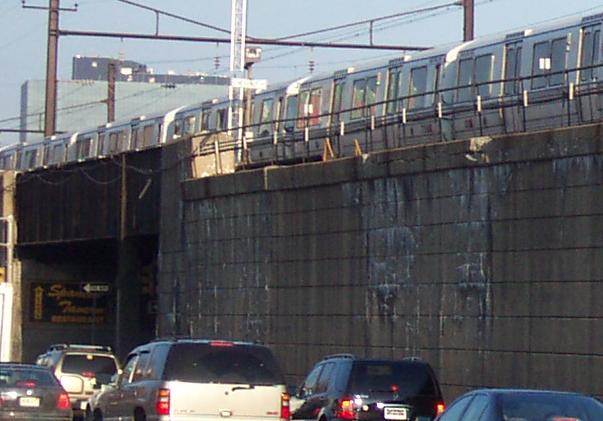
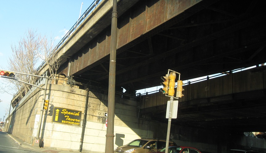
From Miller St. to Chestnut St., a northbound accounting of every opening in the railroad structure, last photo courtesy HNTB Corporation. Use the file names to follow along.

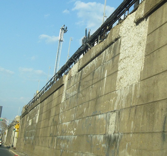
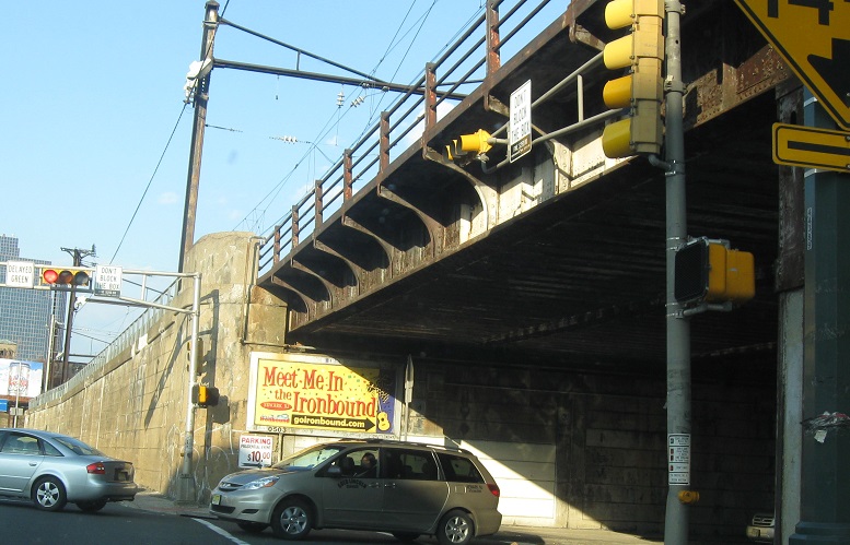
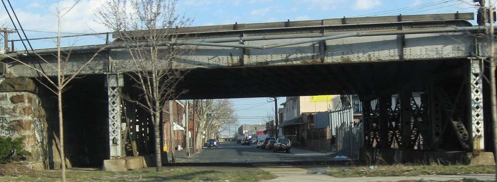
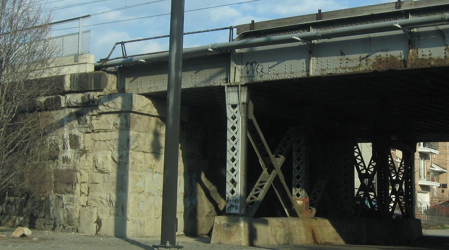
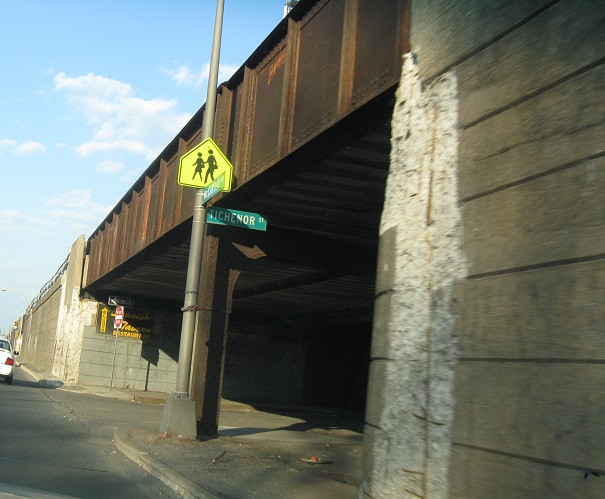
Continuing NB from Chestnut St. to Lafayette St. Elm St. (of first-photo-on-this-page fame) is the third photo from the end, and shows the PATH tracks slowly rising above the rest. This is a stub track that the PATH trains use to switch direction and reenter Penn Station's top level.
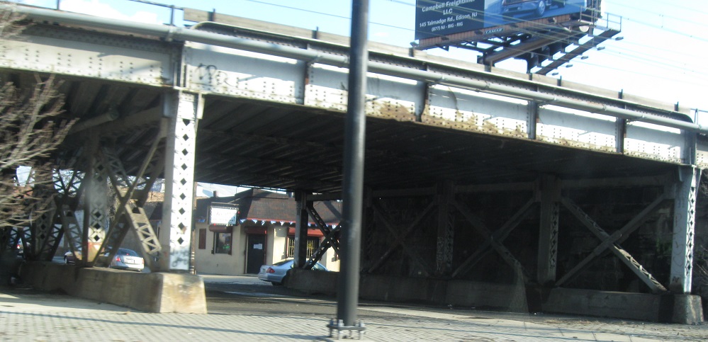
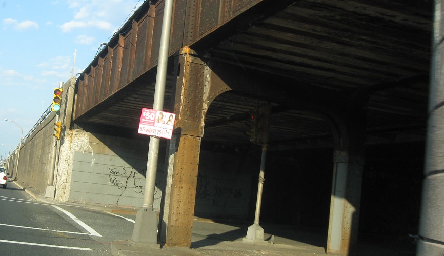
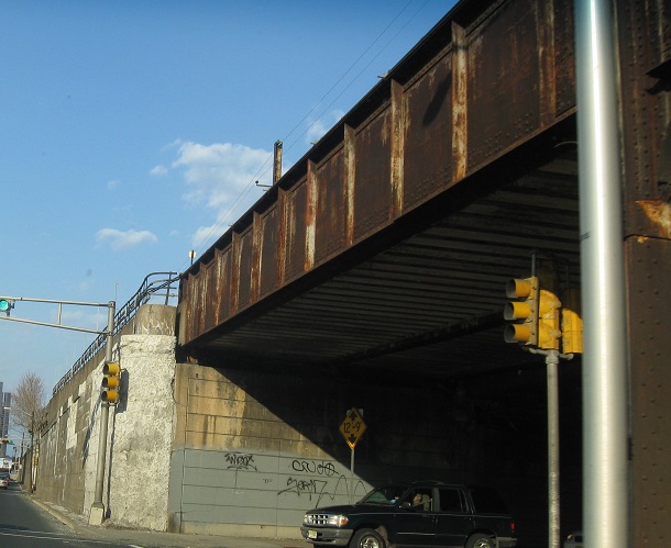
Perspectives from Lafayette St. EB.
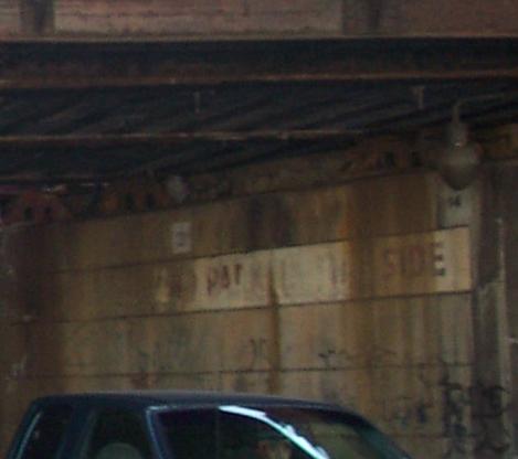
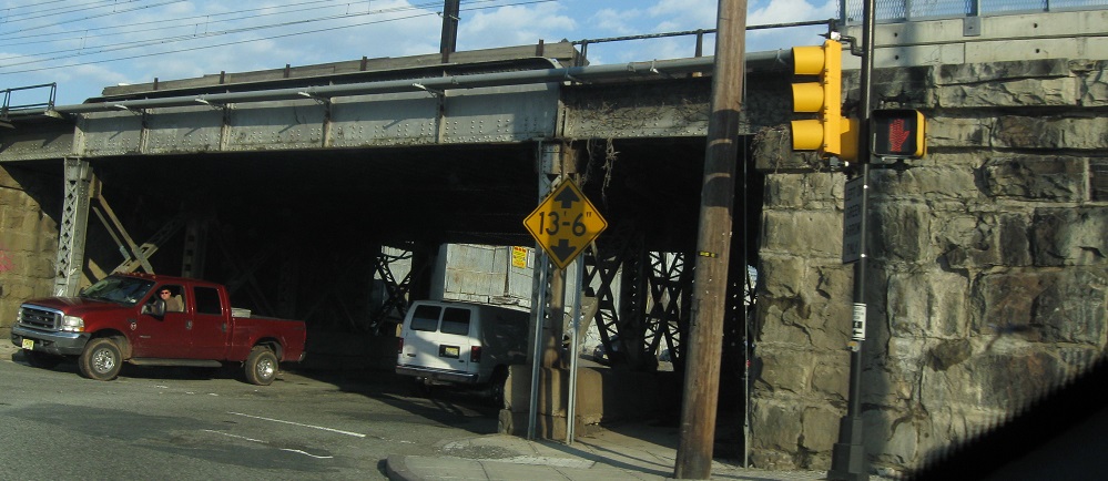
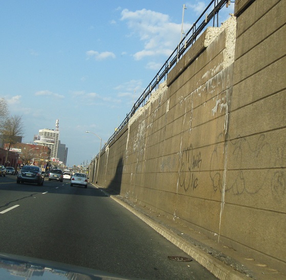
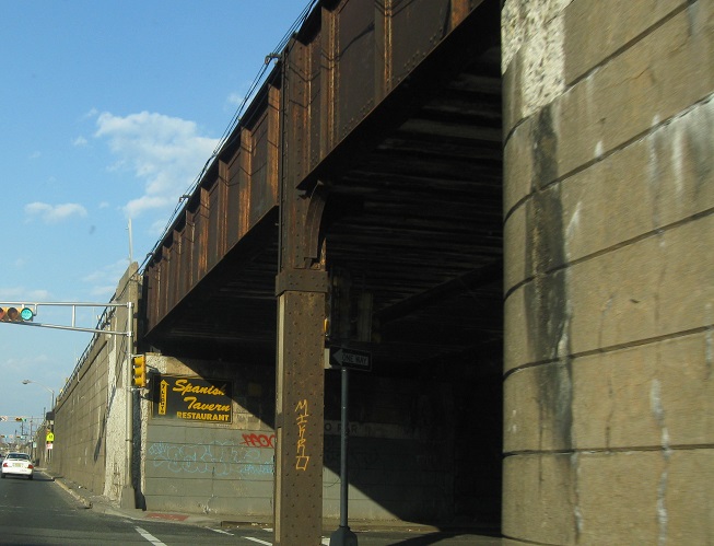
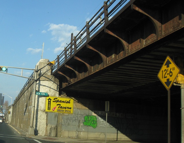
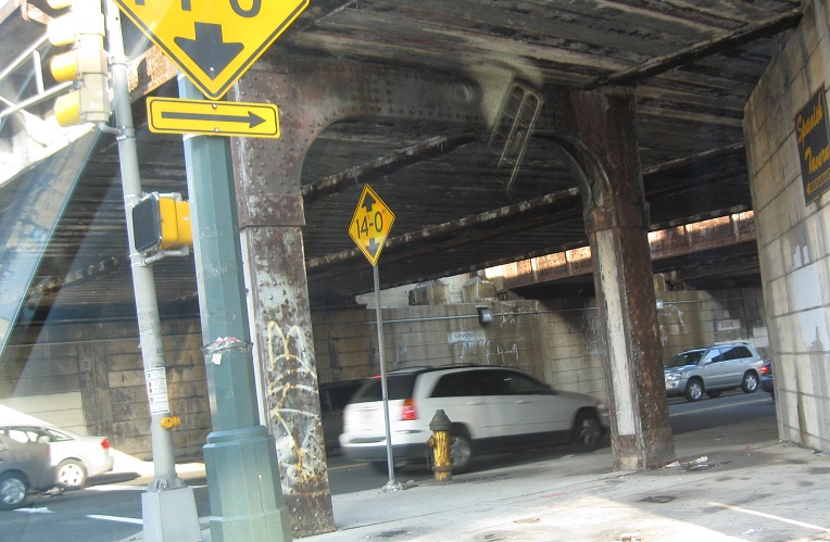
No Parking on This Side - or the other side - or anywhere else under the train viaduct. Photo courtesy HNTB Corporation.
The Centre Street Bridge started life as a single-deck railroad bridge. An upper level was added to separate passenger service from freight, and converted sometime after 1937 from rail to roadway. The history is fuzzy, but sometime during or after World War II, the state took that roadway over and numbered it NJ 25AD, a spur from NJ 25A (which, like modern NJ 52 and NJ 152, were siblings that never met). It became NJ 158 in 1953, matching the redesignation of 25A to NJ 58, and died sometime later. The bridge came down in 1979, leaving what you see here: a western abutment that is now part of a riverfront park (seen NB), and an eastern abutment that blends into the shoring.
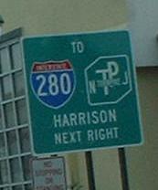
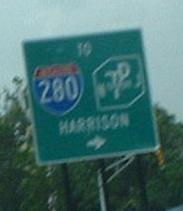
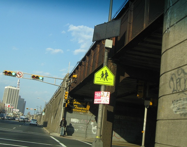
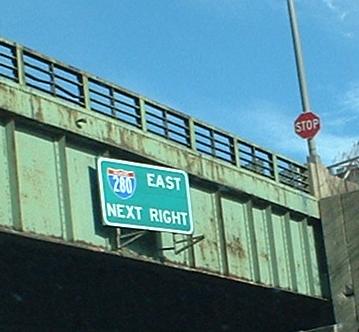
New strangely shielded signs, NB approaching Bridge Street (the only way to get to I-280 WB until recently, and the better way to I-280 EB). NJ conveniently forgot to mention that CR 508 East turns right here after a short duplex.
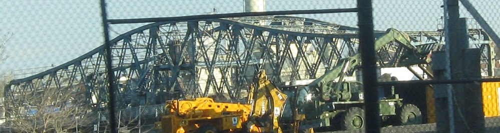
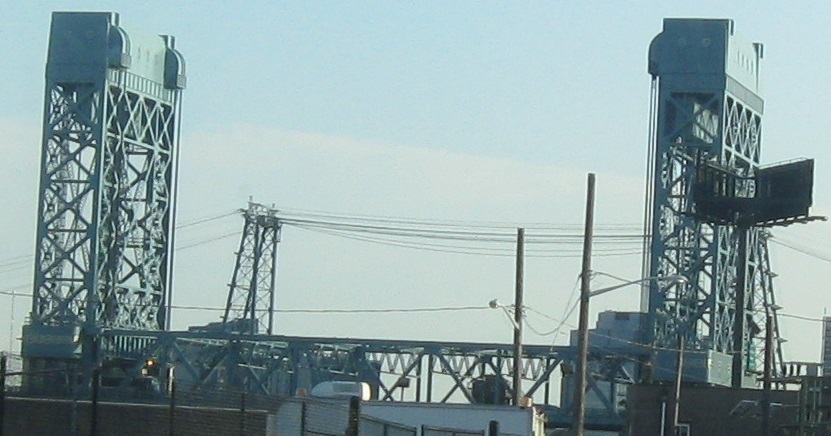
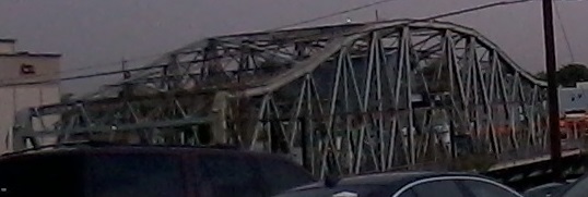
Better views from Passaic St. SB: Clay St. and Stickel Bridge (I-280). Clay is a swing span, Stickel is a draw span.
The sign is mounted on the old I-280 (originally NJ 58, or NJSHR 25A pre-renumbering) viaduct just west of the Stickel Drawbridge. See I-280 (link at bottom) for a description of this wacky half-interchange, which necessitated crossing the river at Bridge St. to cross back and head west.

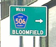
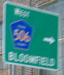
All of these are pointing to Spur CR 506, not just the plain route, using Clark St. (photos 3-4) and Passaic St. to get from NJ 21 NB to Clay St. WB as an impromptu U-turn jughandle. The non-cutout shields disappeared (thankfully) when McCarter Highway gained its full six lanes, but I fear these LGS's will never get their SPURs.
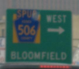
SB, the "Spur" is an afterthought, but unlike on the Garden State Parkway (or NJ 21 North, for that matter), at least it's there.
Former NJ 21, now an isolated stretch of Main St. or the surface part of McCarter Highway, entering Newark from Belleville (SB) and the opposite direction. This was clearly four lanes at one point, and the concrete is clearly original. For a short time after NJ 21 was moved onto a freeway, this was NJ 21A.
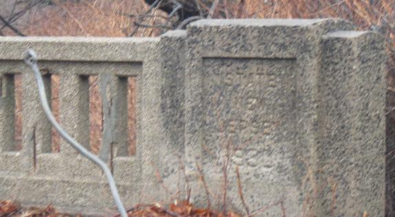
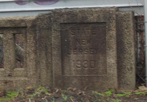
The date of 1930 is stamped into the SB and NB near sides of the bridge. Both of the far sides were overgrown.
My best attempt to capture STATE ROUTE 21 on the NB side.
Continue north on the NJ 21 freeway
Back to the NJ 21 main page
Onto US 22
See more of former NJ 158
Onto CR 508
Onto I-280
Onto Spur CR 506
To the Garden State Parkway
Back to New Jersey Roads
Back to Roads