New Jersey Roads - I-95/NJ Turnpike W. Alignment
I-95/NJ Turnpike Westerly Alignment
The newer of the two alignments, named internally NJ 0095W, is the technical through route for I-95, although variable message signs might pick either alignment as I-95 depending on traffic conditions.
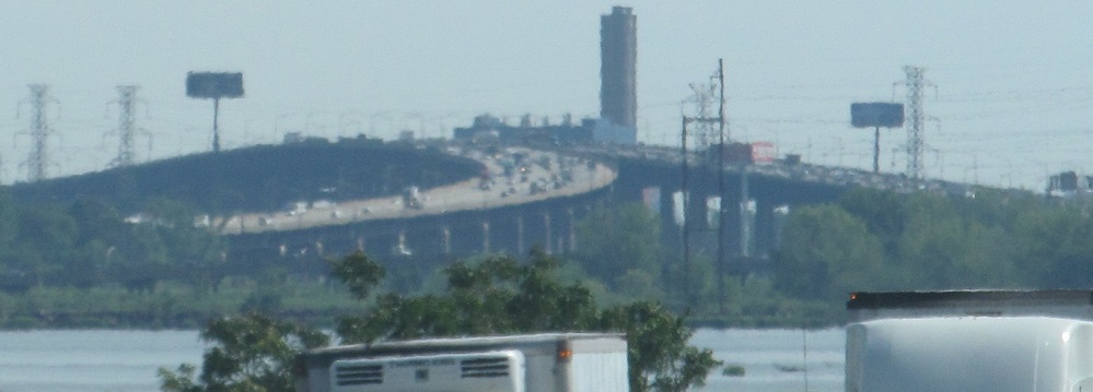
A long southward view of the Easterly Alignment coming back in from the left and pairing with the Westerly over the Passaic River.
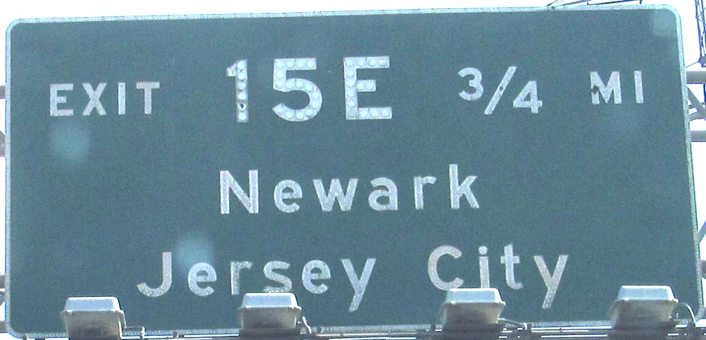
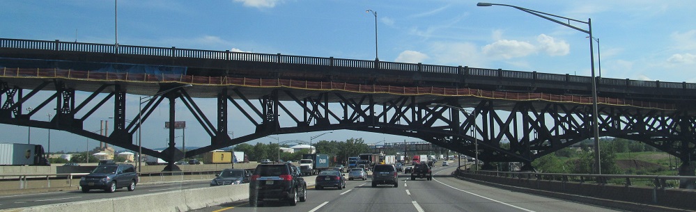

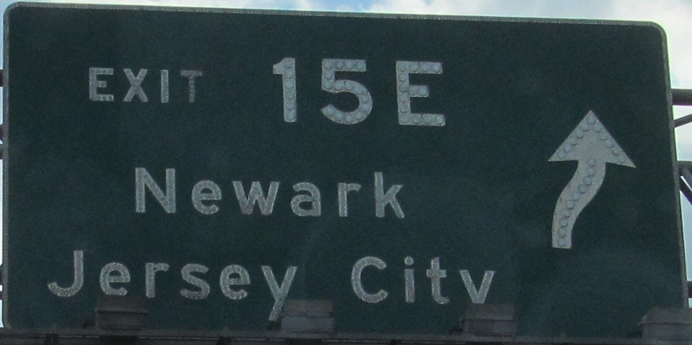
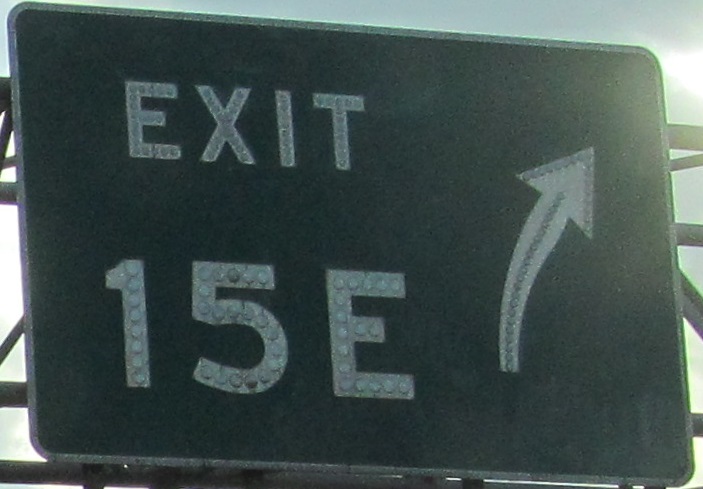
SB after the Westerly Alignment has come together with its eastern partner south of Exit 15W to form a mega-roadway. After undercrossing the Pulaski Skyway, the 3rd/4th and 5th/6th photos are each left-right pairs on the same gantry. South of Exit 15E, which is really US 1-9 Truck (and almost immediately US 1-9 SB), the two roadways then each split into car and car-truck-bus lanes, which merge into the next, dual-dual, section of the Turnpike. It really doesn't make a difference if you go to the next exit to get to 1-9 SB or US 22 WB (or, unmentioned, NJ 21 NB), except you pay the Turnpike more and make them happy.
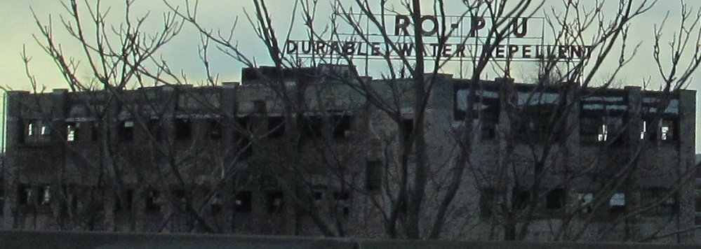
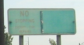
Look west as the road starts splitting to its inner/outer configuration and you'll find Ro-Pu durable water repellent. Perhaps Hydro-Plus?
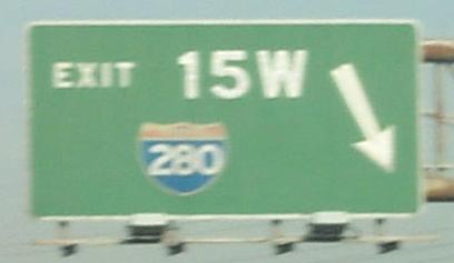
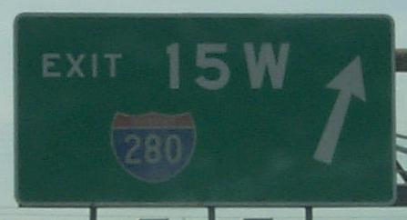
Two NB and the last one SB, all courtesy HNTB; the NB ones are gone now (with their button copy I-280 shield), as is the SB sign (which is clearly reflective). The shield in the gore sign happens nowhere else on the Turnpike.
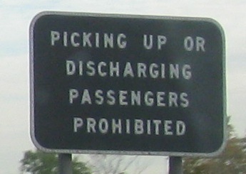
Say what? This is at the Exit 15W tollbooth right where I-280 begins, and yes, Virginia, this sign is oriented for tolltakers crossing travel lanes, not meant for traffic to follow. Because that'd be kinda impossible.
Back to NB, note the lack of shield background, and the unusual double-arrow exit sign (unusual in that it's really a gore sign). The last photo is on the side of the first gantry, another representation of how the roadway splits neatly in two, but not very useful at speed. Then again, traffic during Meadowlands events rarely moves at speed here.
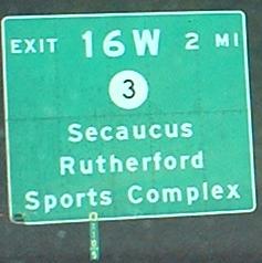
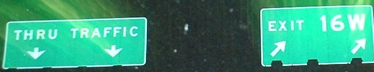
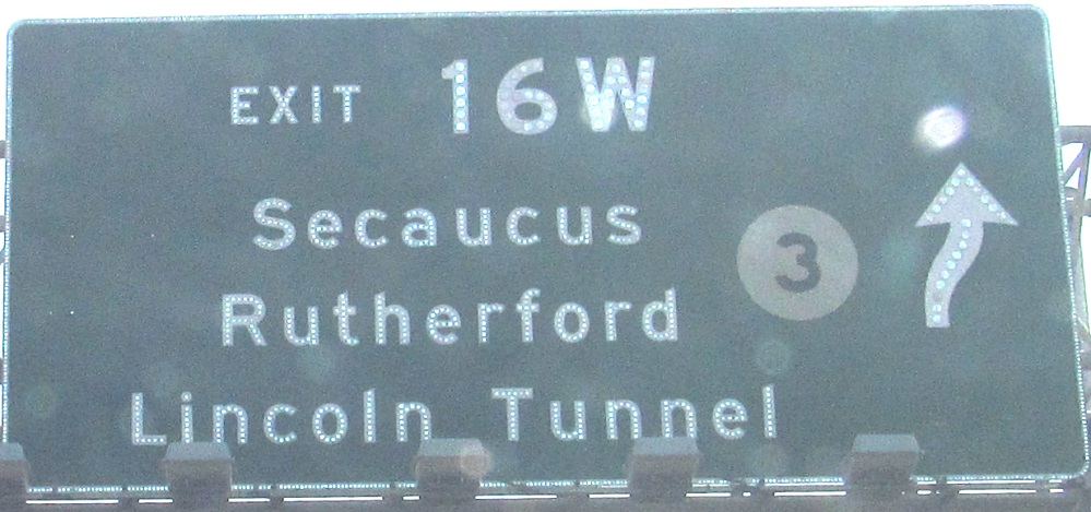
I didn't get the kind of detail I did on the mainline Turnpike, so click on that and add a "W" to the left of the number, and squish it all in the same size sign. I include a modern milemarker in the first photo for comparison - compare readability.
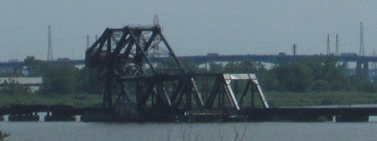
Just south of Exit 16W, these photos look east at the "Jackknife" or HX Drawbridge, built on the Erie Railroad in 1911.
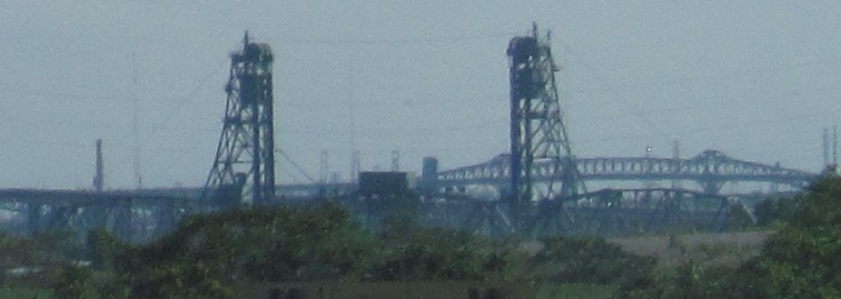
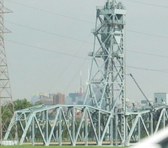
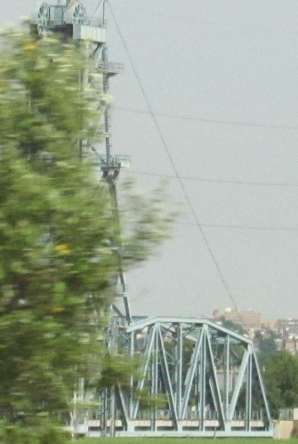
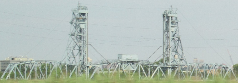
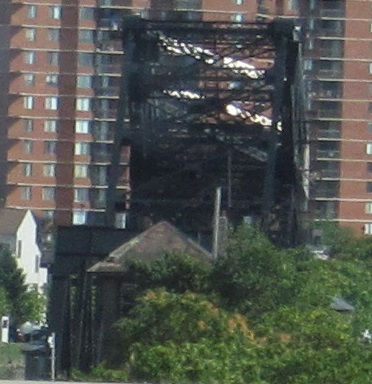
The 1958 Upper Hack Lift, starting from the north and progressing to the south.
Read about the exit ramp signs below; that text applies here (except the 3 shield isn't button-copy old), SB with a left/right photo pair on the same gantry.
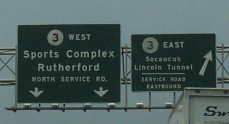
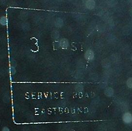
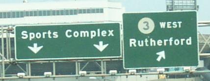
On the ramp from Exit 16W to NJ 3 and the Meadowlands, notice that the shields have no black squares behind them, which is something the Turnpike Authority does but NJDOT doesn't. All the 3's here, except the left one in the first photo, are genuine button-copy dating from the construction of the Westerly Alignment, and that left one is a still old but just not original shield. Click on the first photo to light it up at night and see that that old shield is non-reflective.
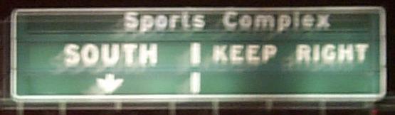
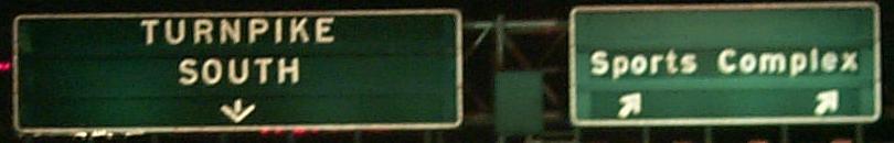
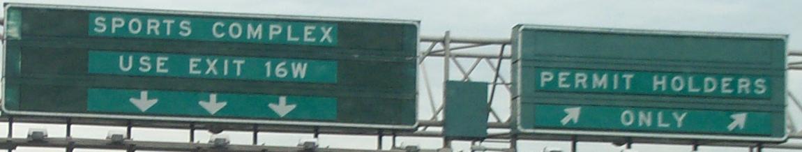
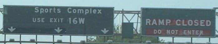
Four photos courtesy HNTB, but only two assemblies. The first photo is a VMS that usually would indicate no access to the "Sports Complex"; this is the Meadowlands ramp that only is open on game day/night and other special events. It connects directly to the Westerly Alignment, and is two lanes each SB-off and NB-on. The second through fourth photos are the three different mutations of the exit VMS's, along with the controller box sitting between them.
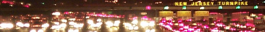
A south-facing perspective of those tolls, courtesy HNTB.
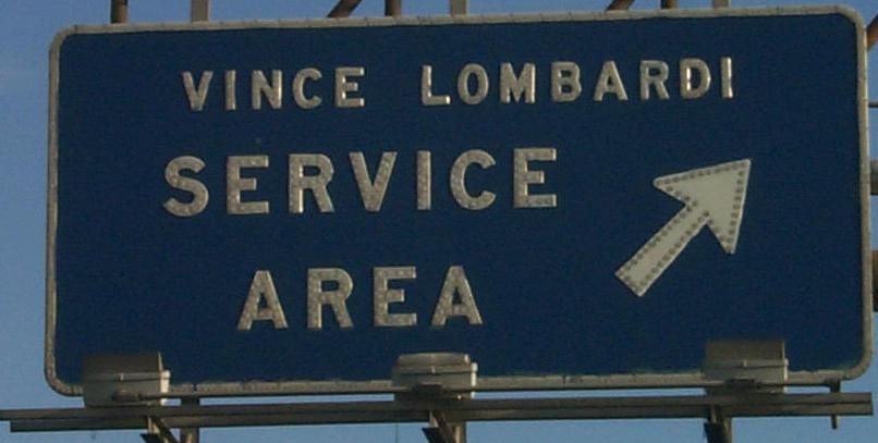
Northbound at the northernmost service area, first photo courtesy Lou Corsaro; go to the "free I-95" link below for more from this area of the Pike.
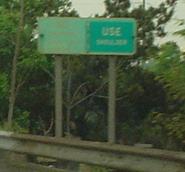
On the short stretch between the Vince and the merge of the alignments, Lou Corsaro took the first photo but all I could make out is "USE Shoulder." So I found the sign and took the second photo, where apparently a missing coverplate was reinstalled. I still don't know under what circumstances one may use the shoulder, but I at least see that it's not the norm.
Continue south on I-95/NJ Turnpike
Over to the Easterly Alignment
Continue north to free I-95
Back to I-95/NJ Turnpike main page
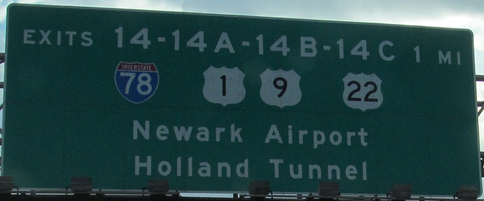
Exit 14 to I-78
Exit 14 to US 1-9
Exit 14 to US 22
Exit 15E to US 1-9 Truck
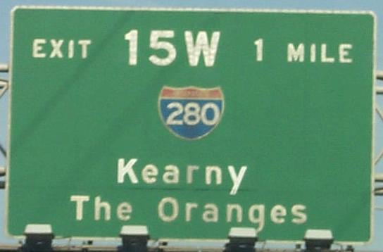
Exit 15W to I-280
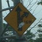
Exit 16W to NJ 3
Back to New Jersey Roads
Back to Roads