New Jersey Roads - NJ Turnpike E. Alignment
NJ Turnpike Easterly Alignment
NJ 0095 is the internal designation for this roadway, since it was built with the original Turnpike, but the FHWA considers the Westerly Alignment the I-95 mainline.
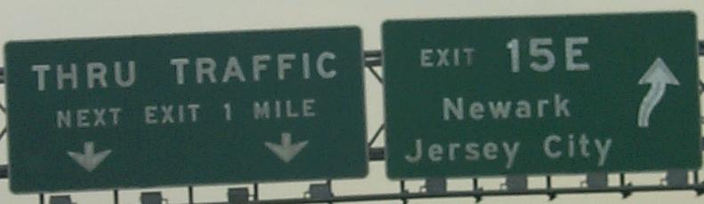
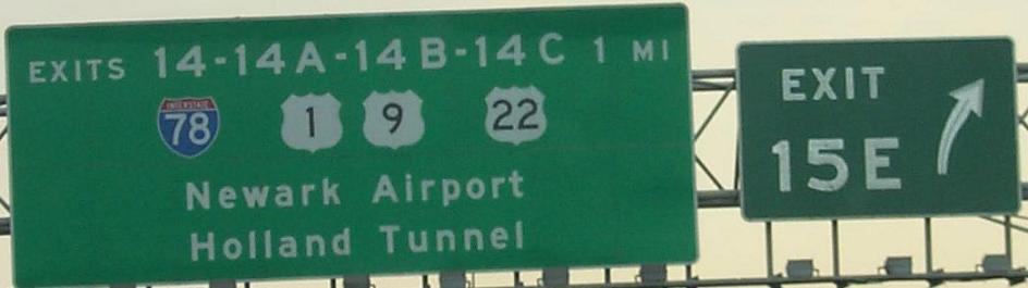
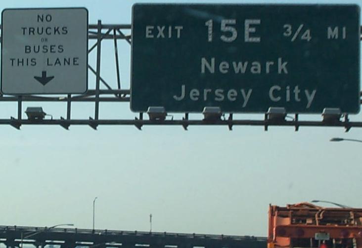
SB leading up to Exit 15E, courtesy HNTB, any or all of these signs may be gone by now. The second photo is mine (sign's still there), but click for the daytime HNTB version. No mention of US 1-9 Truck, to which this exit connects directly.
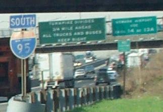
Also courtesy HNTB, this shield definitely is gone, leaving just SOUTH at the 15E gore.
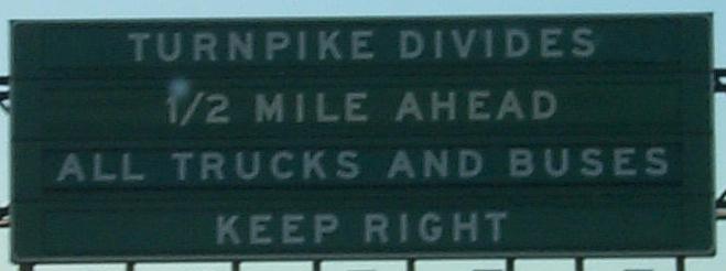
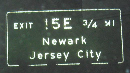
Once more, an HNTB shot of a now-dead sign, the advance for the spot where the car/car-truck-bus lanes diverge and end the eastern/western divide.
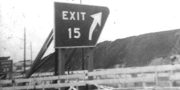
Even more definitely gone, this gore sign dates to when the Westerly Alignment was under construction, and thus there was no need for E and W. It's from 1969 and was taken by Michael Summa. Also note the white-on-green speed limit sign on the ramp, before ramp speed signs were adopted.
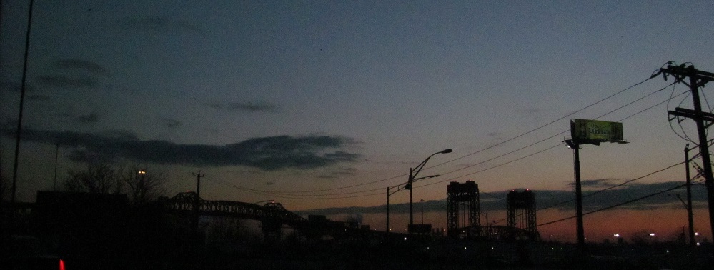
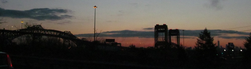
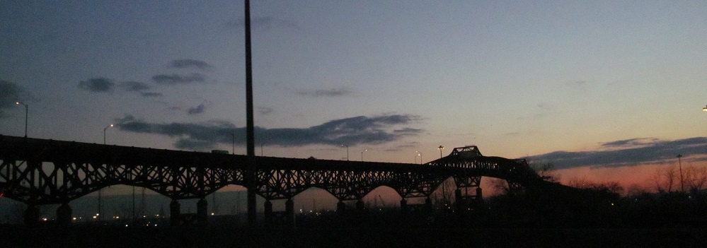
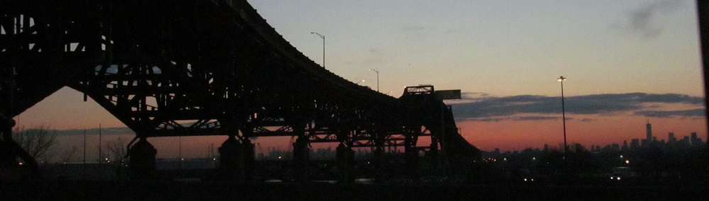
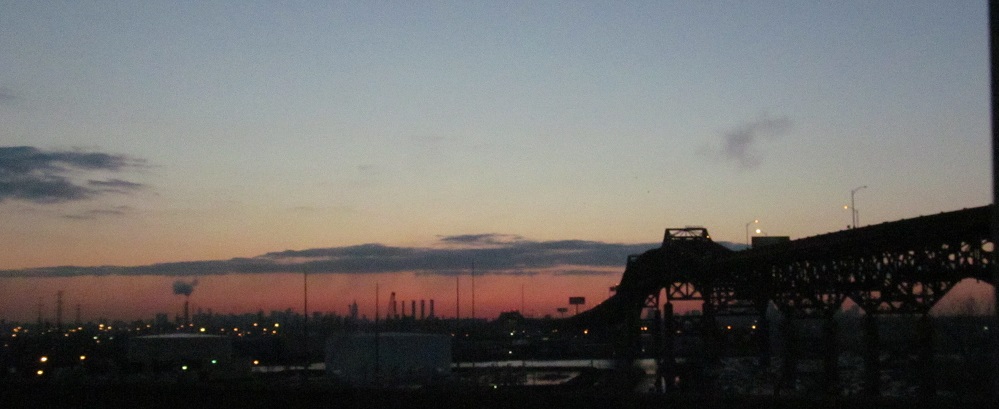
Enjoy the sunrise while I feed you some Pulaski Skyway and US 1-9 Truck drawbridge photos with a side of NYC skyline.
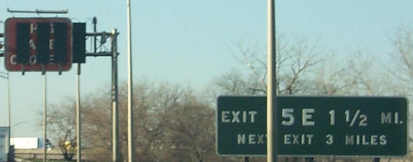
Heading SB, for some reason there's a 1¾-mile advance sign but no 2-mile advance for I-280. Also note the lack of direction, even though I-280 only goes west. NJ is usually good about directionality, unlike NYSDOT. The odd thing about exits 15E and 15W is that, unlike 16E/W and 18E/W, they are both accessible from both alignments; 15E was originally 15, as 15W was not constructed until the Westerly Alignment came into being. Incidentally, Exit 17 is only accessible from the Easterly Alignment, despite its lack of directionality; it's not called 17E because there's no 17W.
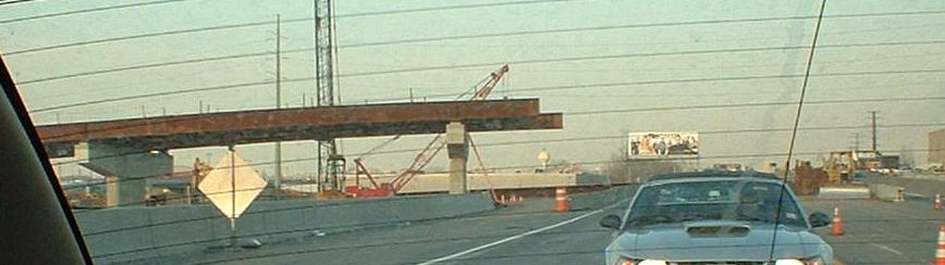
Construction here in January and then March 2005 is progressing on an HNTB project (there's that company again), the new Secaucus Interchange, Exit 15X. It was briefly considered as 15AE (NJ 17 was meant to come to 16AW once upon a time), but the dual letter was judged too confusing. X stands for eXchange, the Secaucus Transfer (train) Station being the point of the exit. Actually, it's the Frank Lautenberg Station... I thought he was still in the Senate? I thought they only name things after dead people?
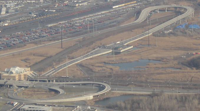
The finished product.
 True.
True.
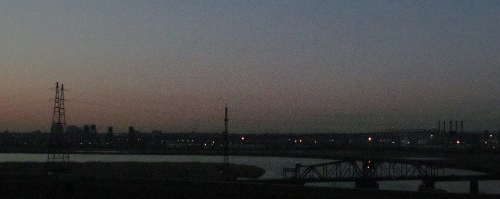
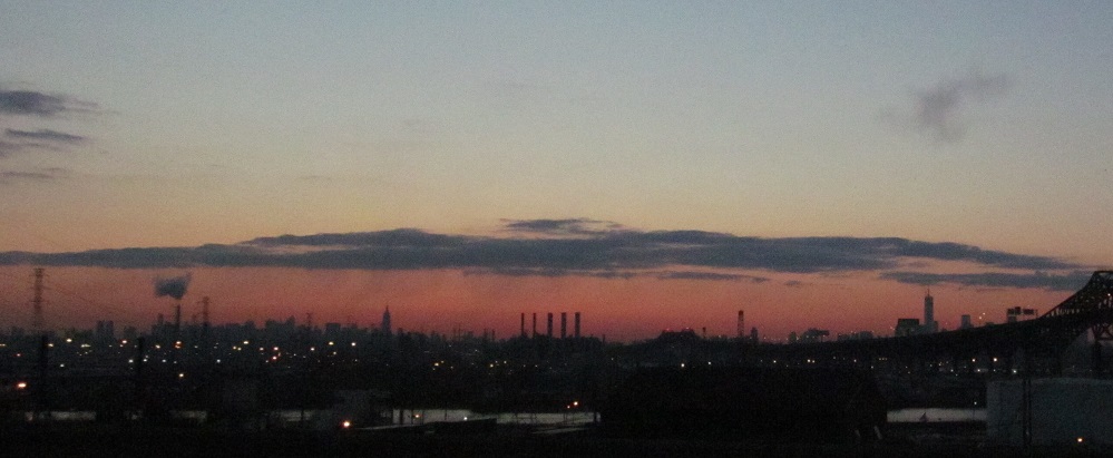
Slipping you one more sunrise photo at the 1910 Portal Bridge carrying NJ Transit over the Hackensack River, looking south with the Skyway in the distance.
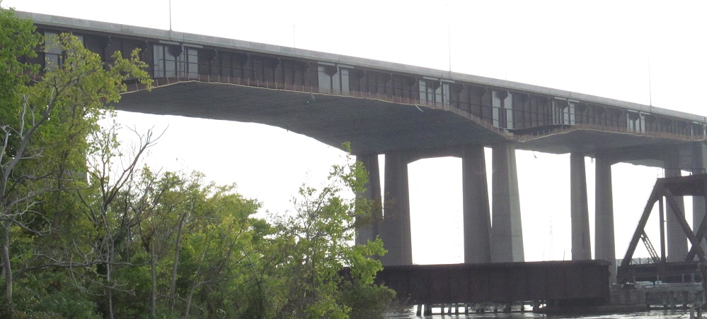
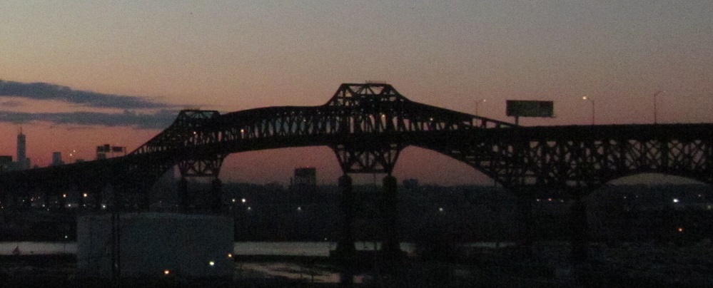
The "East Hack" Turnpike bridge from the adjacent Snake Hill at Laurel Hill Park. The bridge shielding means there is some sort of de- and re-painting going on and those particles need to be isolated from the Meadowlands ecosystem.
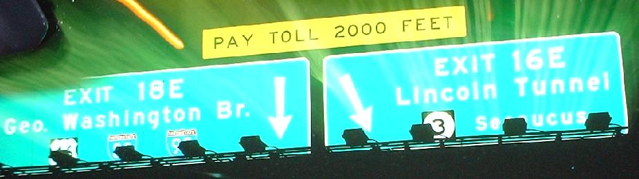
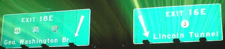
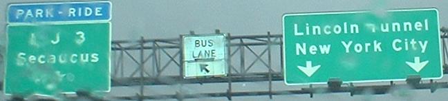
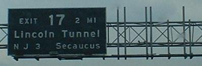
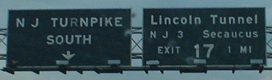
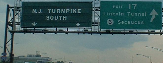
Two NB signs approaching the major split with NJ 495/Lincoln Tunnel traffic (a lot of which came from the west on I-280), and one just past the tollbooth. Usually the 495 side of the tollbooths is much more congested than the I-95 side. Note that the advance signage has NJ-standard shields, while the second picture much closer to the split has NJTP-standard shields (no background on the state/US routes) - you'd think the TP Authority would use slightly larger shields on its signs... And then, there's no shield at all on the third sign. Also note that there's no mention of NJ 495, even though that and not NJ 3 is the route to the Lincoln Tunnel (the second photo, right sign, is particularly bad in this regard).
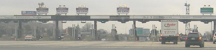
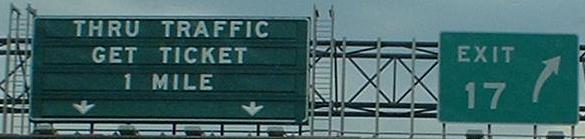
Approaching the tollbooth, where I'm not sure how often the panels are replaced, but they do insinuate NJ 3 goes both east and west (which implies pre-1970 for at least the wording, if not the panels themselves). The digital ones are obviously a lot newer, and I believe useless as there's no formal barrier on the north side of the toll plaza for some distance.
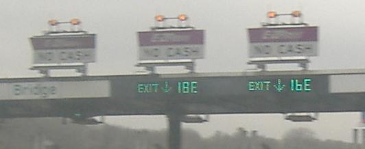
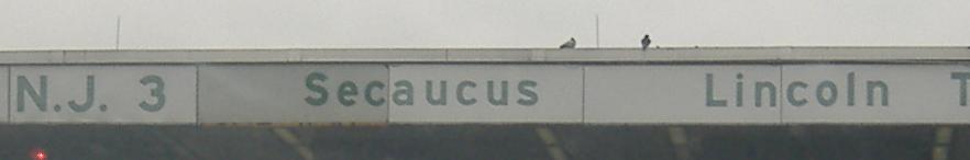
Due to the separate tollbooth, Exit 17 only exits SB on the Easterly Alignment and is the same as the NB Exit 16E. Since the Turnpike Authority never decided to name the Westerly Alignment's Meadowlands direct ramps Exit 17W, this never became Exit 17E as it should have. Aw heck, it should just be 16E, rather than use the Massachusetts Turnpike's skewed system (Exits 18-19-20 are all in the same place, but involve three different tollbooths, with Exit 19 being the mainline, and Exits 14-15 are for the same road, but again with different tollbooths). At least they left the all-text N J 3 signage.
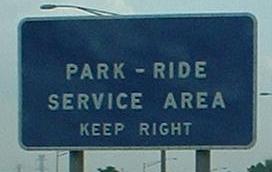
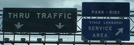
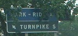
SB signage, with the latter two signs on a side ramp that acts as a C-D road for the service area before rejoining the mainline. All SB traffic to the service area is directed onto the Easterly Alignment, but can get from the area to either alignment (or of course head back north and avoid the toll).
Continue south on the NJ Turnpike
Over to the Westerly Alignment
Continue north to free I-95
Back to I-95/NJ Turnpike main page
Exit 14 to I-78
Exit 14 to US 1-9
Exit 14 to US 22
Exit 15E to US 1-9 Truck
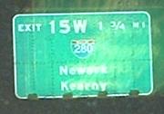
Exit 15W to I-280
See more of the Portal Bridge
Exit 16E to NJ 495
Exit 16E or 17 to NJ 3
Exit 16E or 17 to Secaucus (Paterson Plank Rd.)
Exit 18E toward US 46
Exit 18E toward I-80
Back to NJ Roads
Back to Roads