New Jersey Roads - I-95 and NJ Turnpike NB
I-95 and NJ Turnpike NB
Click on each of the last four photos for daylight versions, courtesy Mike Byrnes (photos #3, 4, 6) and Scott Colbert (photo #5).
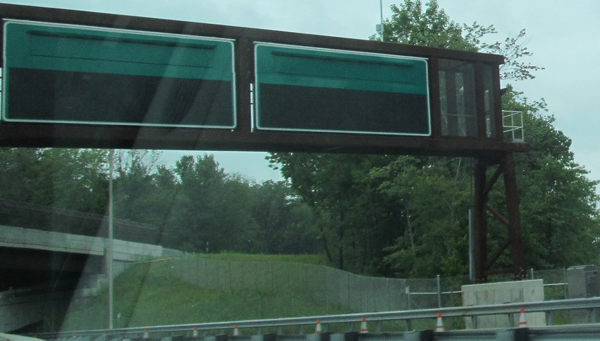
Brand-new signs are ready to split traffic leaving the Woodrow Wilson Service Area, but the NJTA isn't ready to activate them until reconstruction is complete later in 2014.
In November I can finally be on the inner lanes, but only the outer lanes get food and gas.
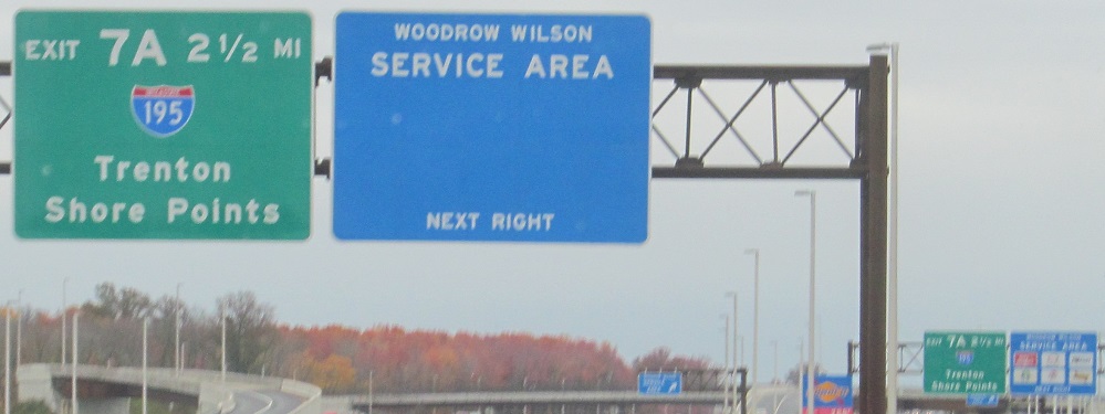
Since I've spent two captions on Woodrow Wilson, here are some older signs in the service area. The NJTA contracts with several towing companies over the length of its road. If you need a tow, you have no choice but to call one of them and at least get yourself off the road. You can then call a second company to take you from there, but at least the first tow is free, subsidized by your tolls.
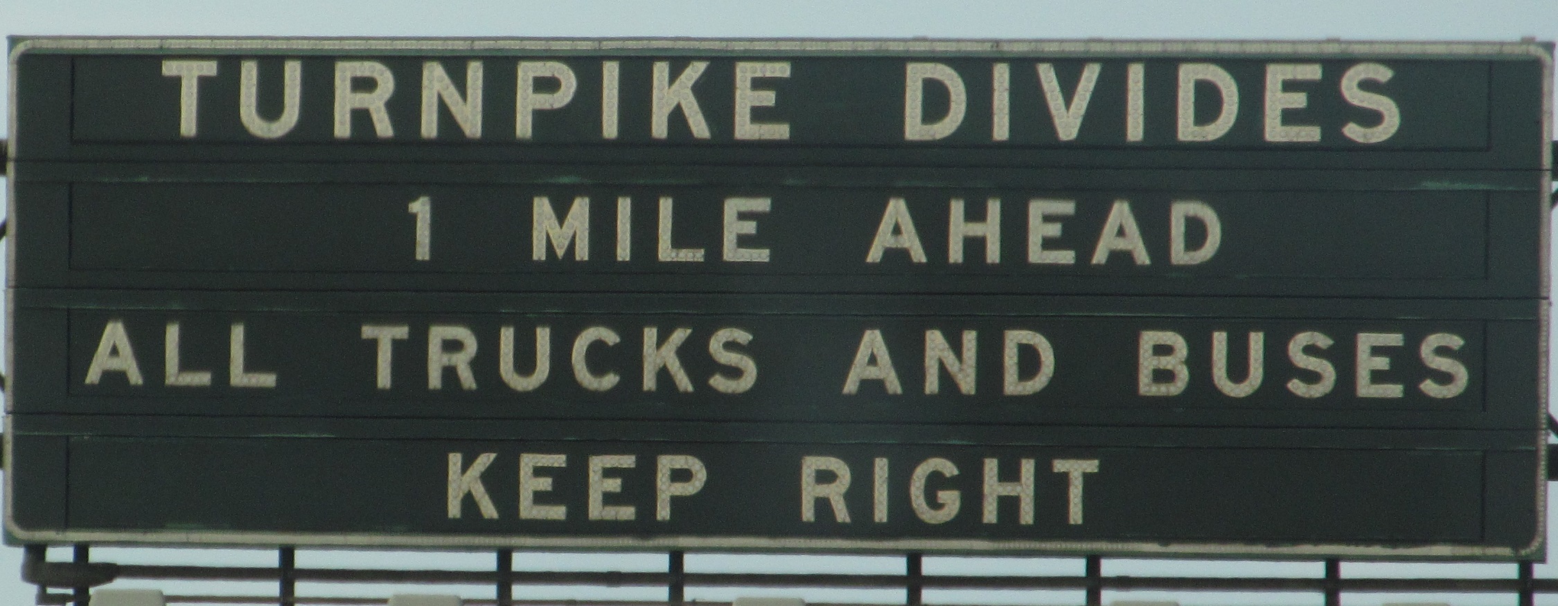
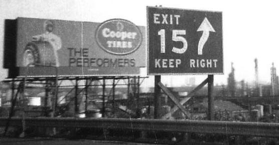
Some of the last survivors in the age of VMS, these disappeared north of Exit 8A as part of the Turnpike widening.
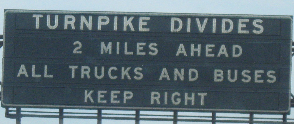
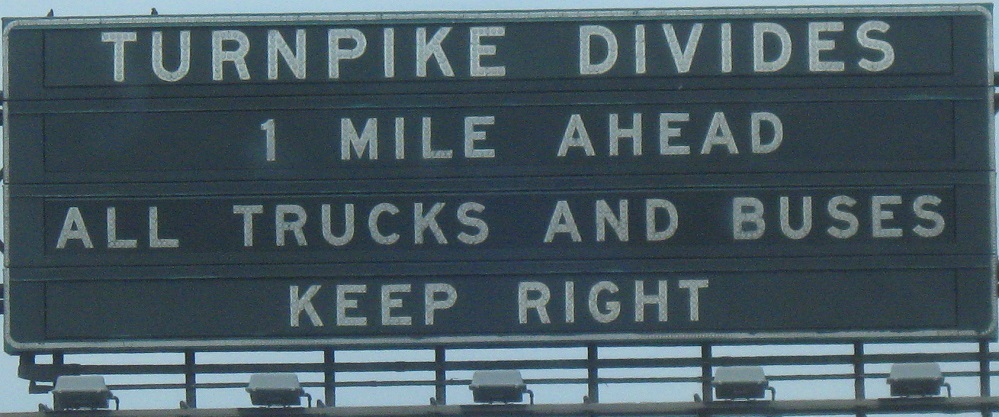
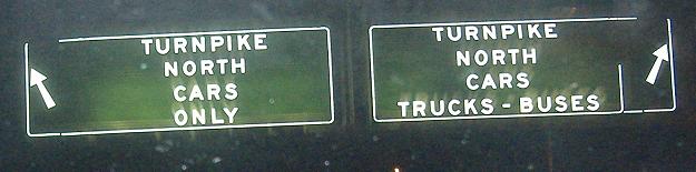
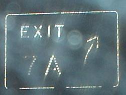
Gee, I wonder if the arrows on the lane divide were added after the fact? Click on each of the first two photos for a closeup.
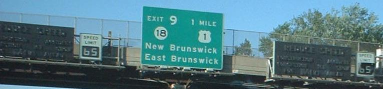
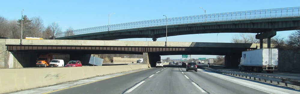
The 3rd photo is on the Inner Roadway and the last 2 photos are over the Outer. Also check out the wide NJ 18 font (Series E?) on the advance sign, and the Turnpike's smallest mainline BGS in the next photo after that. Now's as good a time as any to mention that all exit gores on the Turnpike are elevated above the lanes, instead of sitting at the diverge point at eye level. I don't know why either.
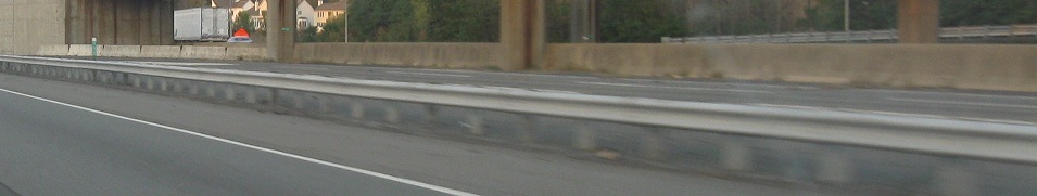
For some reason, there are three sets of NB lanes alongside the Joyce Kilmer service area. There's car (which I'm in), truck (on the other side of the barrier, and... other. The other lanes only exist between the car lane offramp and onramp for the service area. Why? This was the original SB side of the Turnpike, which wasn't widened until the late 1980s - not enough time for all the lane markings to disappear yet. Because the car lane ramps to and from the service area have to rise up as overpasses to cross the outer lanes, the car lanes were built outside that, which made it convenient to just stick them on the outside of the existing roadway. To the north and south, the old roadway is just overlaid by the new one.
NB signage, starting with button copy, continuing with a new all-text sign, and ending with an LGS on the Exit 11 ramp.
The three-level crossing of the Parkway and CR 514, which only looks cool from the Turnpike on the bottom level. Originally, the Parkway bridge looked exactly the same as the 514 bridge, but widenings and safety improvements have left only a hint of the original shape of the girders and none of the green color.
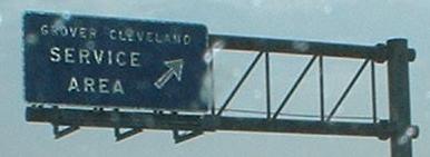
All 12 service areas on the Turnpike are given different names from New Jersey personalities, including for example Walt Whitman. Grover Cleveland is from my county! NB at MP 94 - see the SB page for the differently named SB rest area.
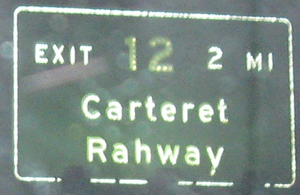

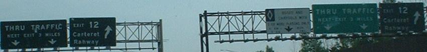
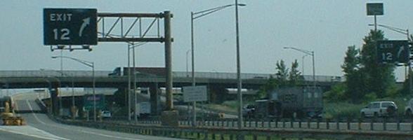
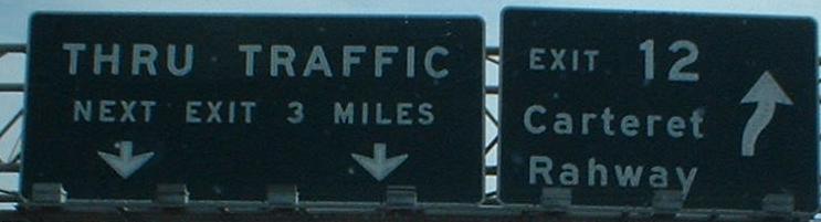
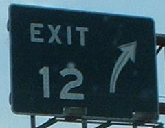
NB Exit 12 signage, amazingly leading to no routes whatsoever. Clicking on either of the last two photos gives you the car lane sign closer up (car lanes are inner, car-truck-bus a.k.a. truck lanes are outer).
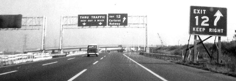
Same place courtesy Michael Summa, when the inner lanes (now car-only) were still under construction in 1969. The original humped exit signage is already losing reflectors, which is why they've all been gone for so many years. Also gone is the Turnpike's practice of erecting advance "KEEP RIGHT" signs, figuring the overhead sign does the job well enough. Incidentally, I wouldn't be surprised if that's the same signage as in my photo (including the then-covered ones on the inner lanes).
 Looking east at the Goethals Bridge.
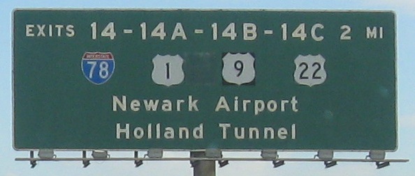
That's the last old Exit 14 sign left on the Turnpike; all the new ones group US 1 and US 9 closer together, reflecting their conjoined status. I guess except for the one on the ramp, which also uses "New'k" so I can just ignore it.
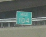 One of the last old milemarkers left on the Turnpike, too. It's the only one I've seen off the Westerly Alignment.

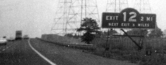
Signage from 1970, when more was accomplished by the gore sign, courtesy Michael Summa. The Turnpike signage was square then instead of rounded, but those trademark arrows were still around. Mysteriously, US 9 does not appear with 1 at Exit 14 even though it has always been there. To the right in the first photo is Turnpike widening construction to split the highway into the current car/truck configuration.
The old Lincoln Highway, US 1-9 Truck, is to the right, and the replacement Pulaski Skyway, US 1-9, is to the left. Even though Exit 15E is right at the base of the Skyway, it only interacts with the truck route, so you must use Exit 13A or 14 to get to US 1-9. This NB photo is technically already after the car and truck lanes have reformed into Easterly and Westerly Alignments, but those two roadways continue next to each other until after the next exit, so this view is the same from either.
Over to the SB lanes
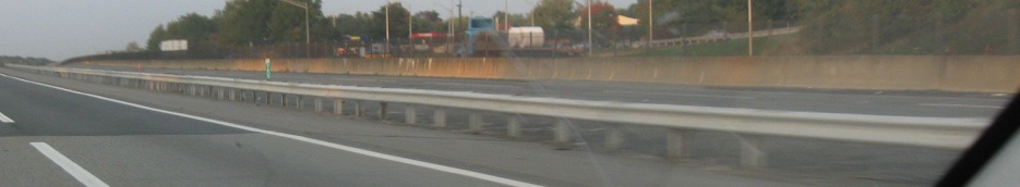
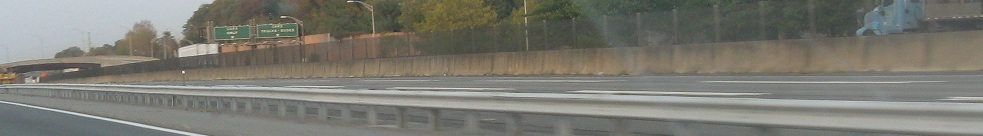
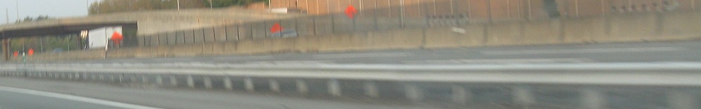
Interchange 6-9 Widening
Signs on the exit ramps
North on the Easterly Alignment
North on the Westerly Alignment
Back to NJ Turnpike and I-95 together
Back to I-95/NJ Turnpike main page
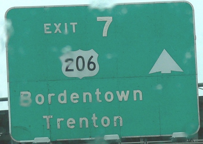
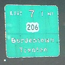
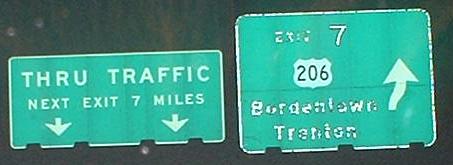
Exit 7 to US 206
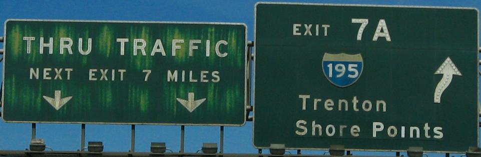
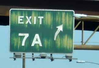
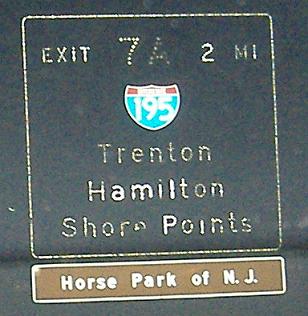
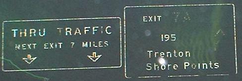
Exit 7A to I-195
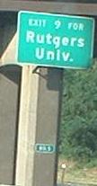
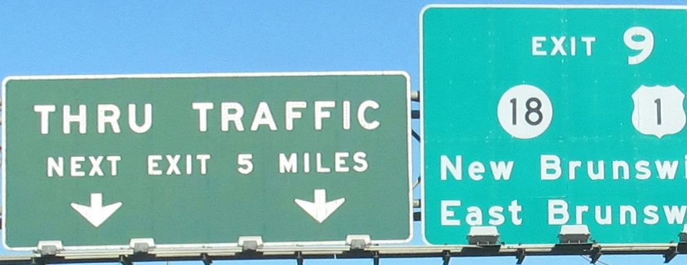
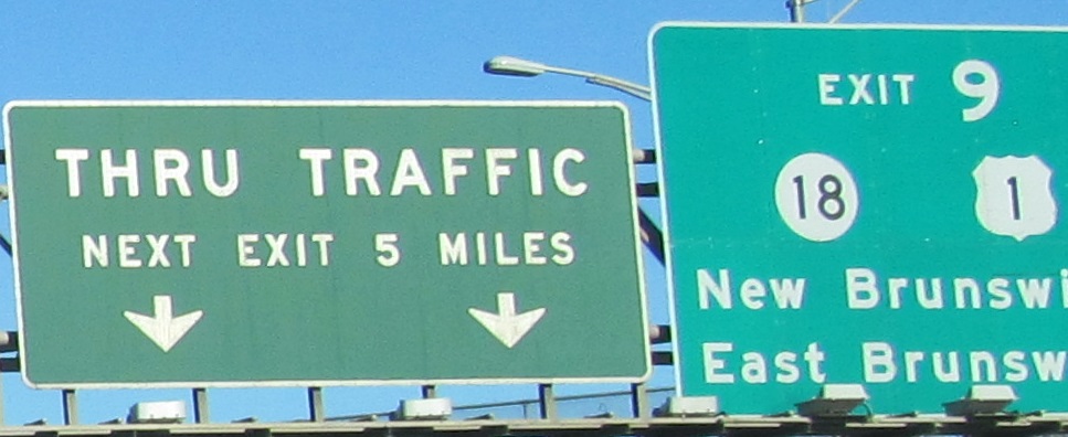
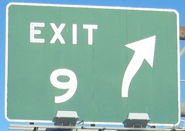
Exit 9 to US 1
Exit 9 to NJ 18
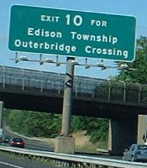
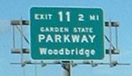
Exit 11 to the Garden State Parkway
Exit 12 to Middlesex CR 602
Exit 14 to I-78
Exit 14 to US 1-9
Exit 14 to US 22
Exit 14 to Newark Airport
Exit 15E to US 1-9 Truck
Back to New Jersey Roads
Back to Roads