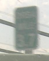
New Jersey Roads - I-295 SB S. of Cherry Hill/US 40
south of Cherry Hill and I-295/US 40
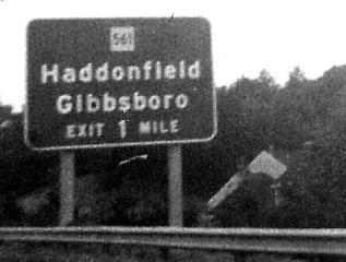
SB at Exit 32 and somewhere else on I-295 in 1969, courtesy Michael Summa. The square back then was actually correct, predating NJ's use of the pentagon. But look how small it is! Also savor what I-295 looked like with two lanes, trees, and little traffic.
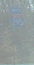
Awwww... example of new shield-in-milepost style (and horizontal numerals instead of vertical).
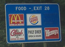
After at least ten trips down I-295, I'm finally stuck in enough traffic to snag for you the Phily Diner sign. Really, if you pay the NJDOT enough money to advertise on their highway, you should make sure you spelled your business name correctly.
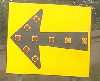
The sequentially lit arrow is on the dangerously sharp curve that I-295 SB follows as it curves over and around I-76, approaching NJ 42. The 42/76/295 interchange is going to be redone to eliminate this and generally provide better traffic flow.
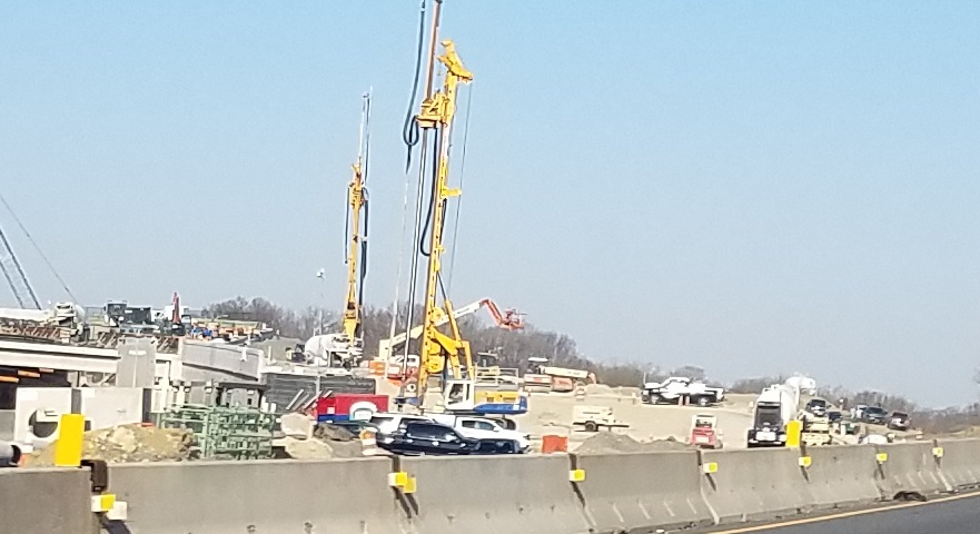
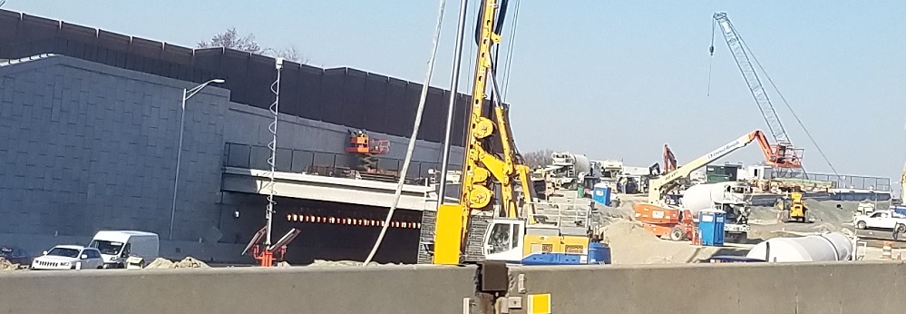
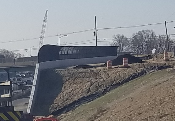
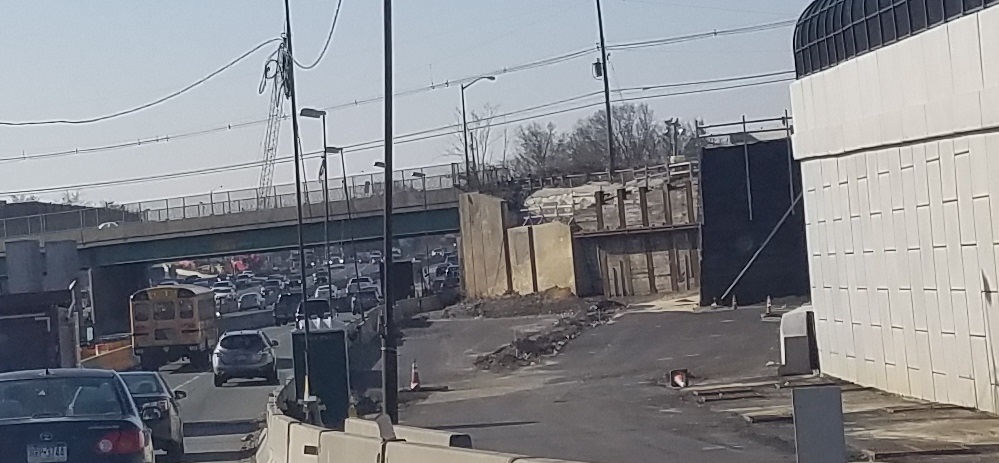
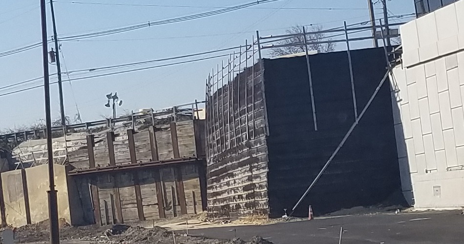
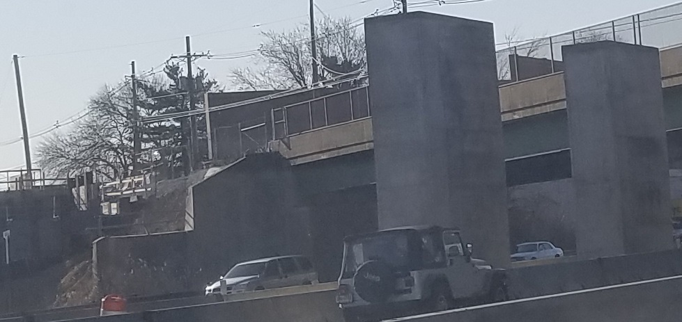
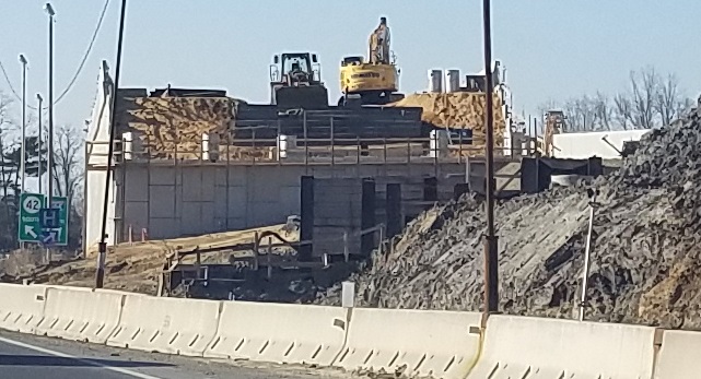
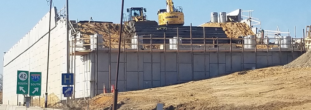
And here we go with interchange construction. These April 2019 photos follow I-295 SB past its future mainline, which will cross diagonally over I-76/NJ 42 at Browning Rd., then down and around to the trench that will soon be bereft of I-295 lane miles, with provisions for the new Browning Rd. bridge on both sides. The last two photos show the future south I-295 abutment.
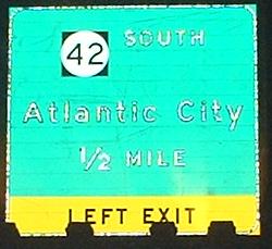
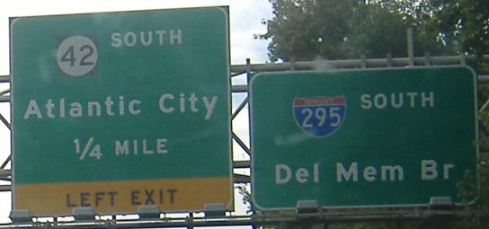
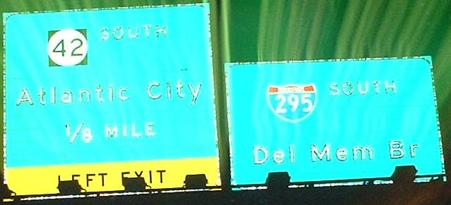
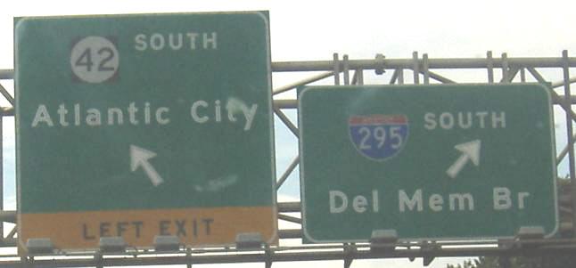
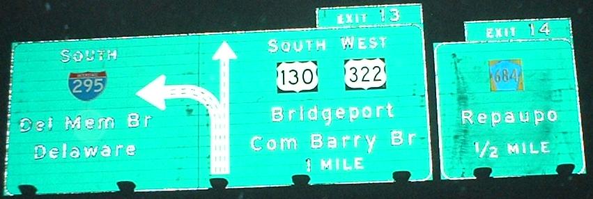
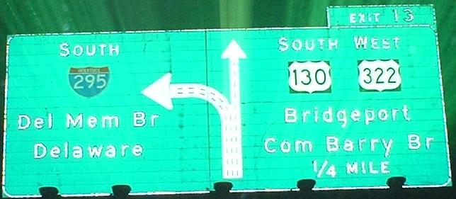
1/8 MILE is a fairly unusual increment, but as I mentioned, this interchange is generally wonky (and so is the arrow in the last photo). The reason NJ 42 (Exit 25, though you can't tell here) is a left exit is because I-295's roadways are the outer roadways for a mile, where the I-76 to NJ 42 transition takes up the inner lanes. The way it's set up, the SB 1/4 mile advance is on the same gantry as the I-76 EB Exit 1A advance sign, and the SB 1/8 mile advance is on the same gantry as the I-76 EB Exit 1A sign, which is I-76's exit for SB 295.
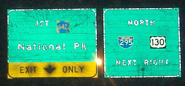
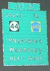
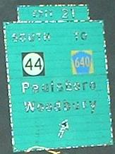
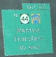
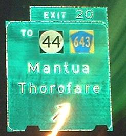
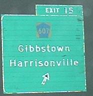
After this point, a lot of BGS's will mention NJ 44, and there will be a lot of exits (one every mile for ten miles). Between exits 13 and 25, I-295 and US 130 are multiplexed, because those 12 miles, together with about a mile of US 130 between I-295 and US 322 at the Commodore Barry Bridge, comprise the original freeway section of US 130 that was the impetus behind the creation of I-295. NJ 44 is the two-lane surface road that was 130 before the construction of the freeway, hence the numerous encounters along this stretch. The first sign is just off Exit 24 (note the opportunity for a U-turn onto NORTH I-295 and US 130).
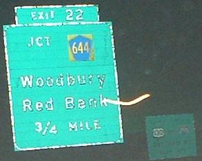
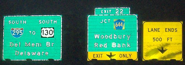
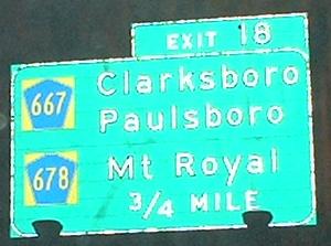
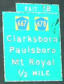
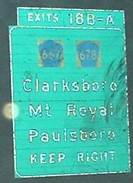
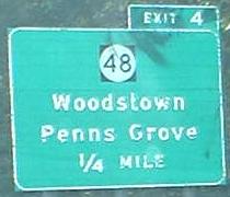
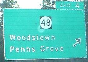
I personally like the horizontally oriented sign, because it associates each destination with each route. The third sign is slightly older than the second (judging by the shields), and I wish NJDOT had included the B-A on the newer sign's exit tab.
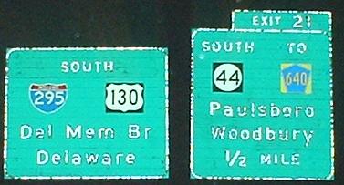
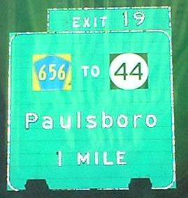
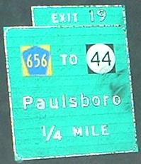
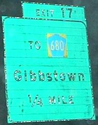
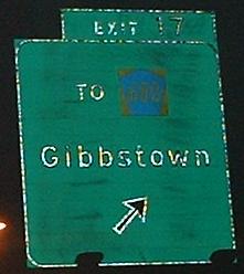
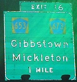
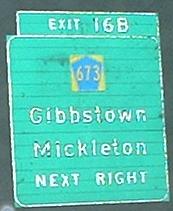
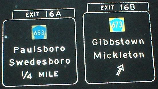
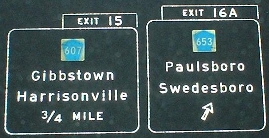
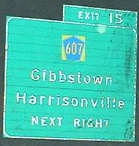
Until now, all the signs on this stretch were of fairly constant age. The signs not shown above have very recently been replaced, but these two assemblies were skipped over in the previous wave of replacement, marking the oldest ones to be found on I-295. Yes, the CR 673 shield has been replaced, and the rest are original.
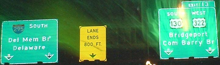
Well, it's a bit of a lie - that should be TO WEST 322.
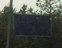
Ending with a faded lodging sign for Exit 1C (CR 551), courtesy Lou Corsaro.
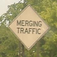
Old merge sign somewhere in the Exit 1 interchange.
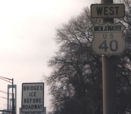
Courtesy Alex Nitzman, this ancient hybrid Delaware/NJ shield survived until at least 1995 on I-295 thanks to it being under Delaware River and Bay Authority jurisdiction.
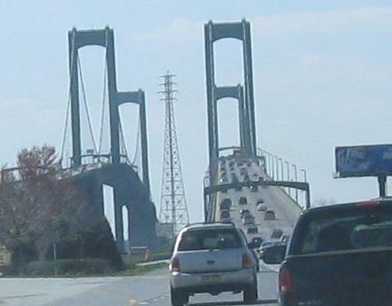
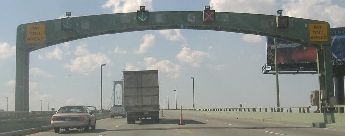
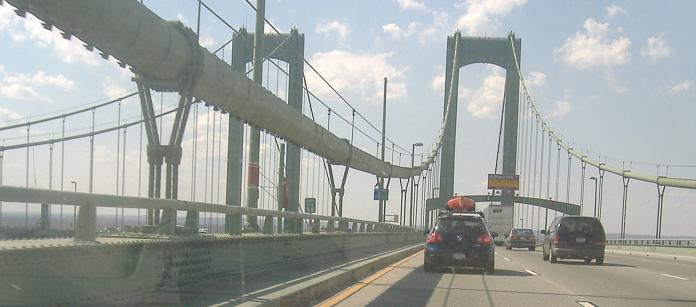
Up onto the Delaware Memorial Bridge, showing that I-295's mileage continues from Delaware into New Jersey - that's because the highway is owned by DRBA starting at US 13. Next time I'm down there, I'll have to check whether the mileposts reset to 0 at US 13 or continue the numbering from the beginning of the highway at I-95. Bridge photos continue on the Delaware page, at the bottom of the links below.
 south of Cherry Hill and I-295/US 40
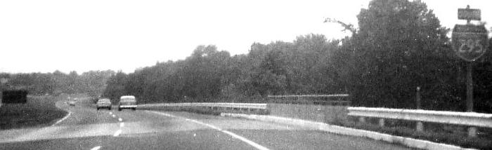
 Awwww... example of new shield-in-milepost style (and horizontal numerals instead of vertical).