North Carolina Roads - I-40/US 64, Raleigh
 in Raleigh (and US 64)
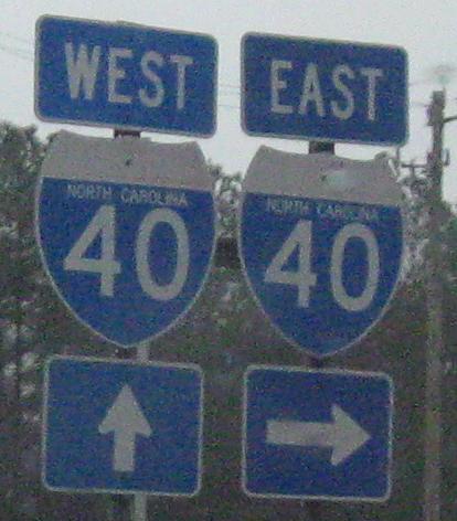
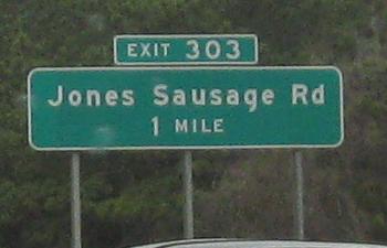
Jones Sausage Rd. NB at I-40 Exit 303. No, I'm not kidding. I have a westbound photo to prove it. By the way, those familiar with the area will note that this assembly is in Garner. My definition of "Raleigh" for the purposes of this page is anything inside the existing or future I-540/NC 540 Outer Loop.
Westbound
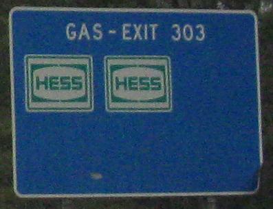
Enjoy your Jones Sausage. Clearly, Hess does.
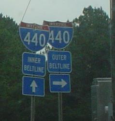
As of 2002, the I-440 shield does not belong.
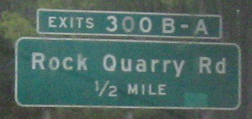
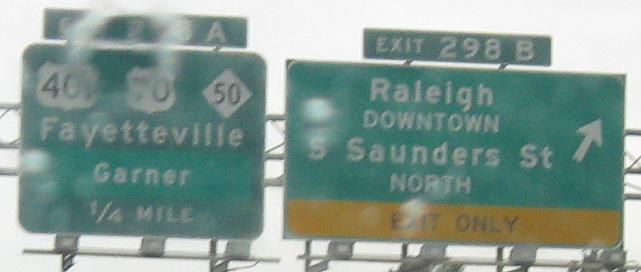
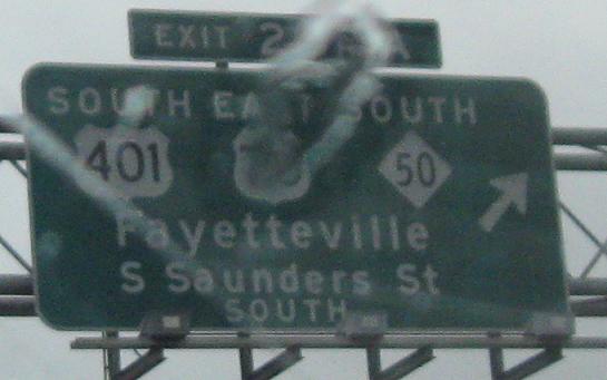
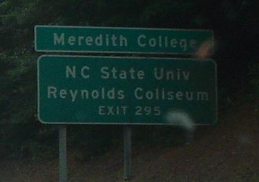
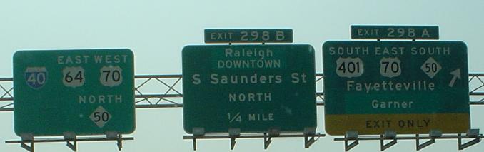
Older freeway signage from I-40/US 64. At Exit 298, both "A" and "B" directions carry all three routes, but when the sign was made they all got onto the Beltline here and nothing went into Raleigh. "Garner" was patched over "S Saunders St" because the FHWA now prohibits mixing street names and destinations on guide signs.
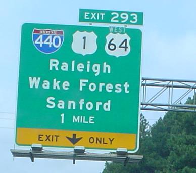
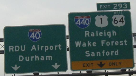
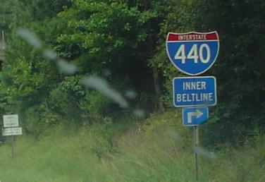
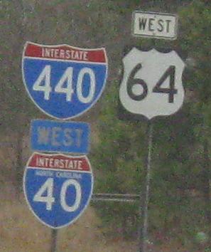
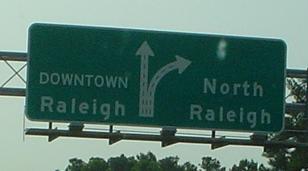
Consistency, please - just like US 64 only goes west from here, I-440 only goes north from here. Also, I-440 is no longer the Inner Beltline, and is not a right turn at an intersection (implied by the arrow). When the overhead signs were made, US 64 was multiplexed with US 1 in both directions, but now is on I-40 here. So yes, it's only WEST off this exit, but given the quality of the patch it may as well just not be there at all. Or, gee, redo the signs? First and third photos courtesy Lou Corsaro.
What happened here is that Western Blvd. at this exit was never extended east to meet the major street in Raleigh. That completion would have triggered traffic levels that would require a different interchange configuration (more ramps) and more extensive signage.
Centering, anyone?
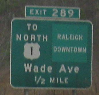
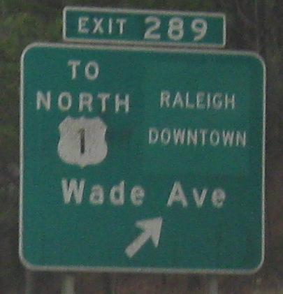
Wade Avenue was once I-40 through Raleigh, ending at I-440/US 1 to the east, with Wade Ave. continuing past I-440 as a boulevard. I-40 then was diverted southeastward, along the stretch with these signs, to I-95, and ultimately extended to Wilmington. What was under the patch? Some sort of shield, no doubt, so it could be TO NORTH (or INNER) I-440.
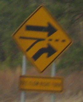
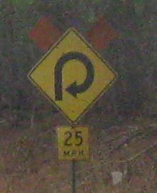
These signs always seem to pop up when I intersect Aviation Parkway. It's an incorrect use of an added-lane sign; the intended sign has that legend tilted 45 degrees such that it's square instead of diamond (which can be rotated 45 degrees less for the same shape).
Eastbound
All signs in this section are courtesy Lou Corsaro except for the next one.
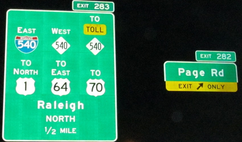
I would never have guessed you would follow NC 540 to get to Toll NC 540. Maybe NCDOT wanted to justify the square footage of the sign by leaving less blank space.
Old BGS eastbound at Wade Ave., dating to before I-40 lived on to Wilmington. I-40 goes straight, and Wade Ave. is to the right. Really, though, downtown is also best reached via Wade, as the WB sign above tried to direct you.
These are older eastbound signs, and this isn't I-440 anymore. I-440 has been truncated to no longer multiplex with I-40 around the south side of the "Beltline" (which now deserves quotation marks). I'm sure the signs will be even slower to come down than the I-40 and Business 40 shields around Greensboro (who wants to bet there's still an old one that becomes correct again?).
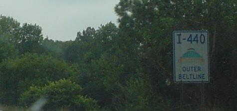
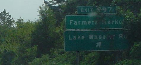
Lake Wheeler Rd. NB at Exit 297, courtesy Lou Corsaro. "Outer" is eastbound. There are I-440 shields like these on many roads intersecting this part of I-40 even though the designation changed years ago. I will miss the non-standard Beltline banners when the conversion to East/West actually happens in full.
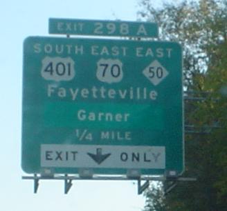
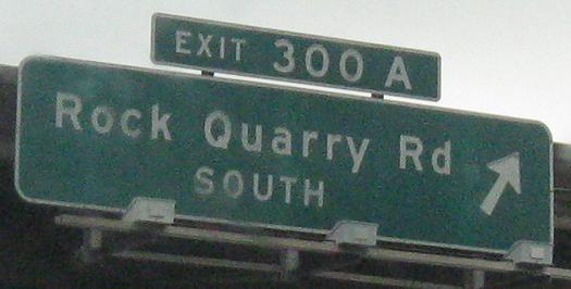
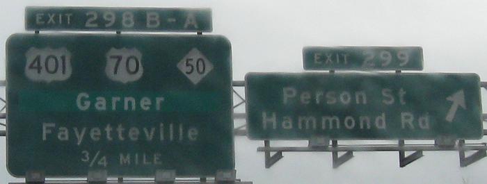
Two more eastbound photos with old and patched signs, and an upcoming wrong-way multiplex. Except actually, there is no multiplex. US 64 is still following I-40, but US 70 and NC 50 no longer get on here, but, as they have for the past dozen years or more, stay with US 401 into the city and then branch to the northwest. Only for a few years did 70 and 50 head east, then north along the east side of the Beltline, before continuing northwest.
Back to I-40 main page
Exit 283 to I-540
Exit 283 to NC 540
Exit 283, 289, or 293 to US 1
Exit 283 to US 64
Exit 283 or 298 to US 70
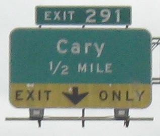
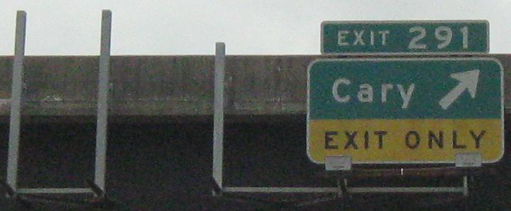
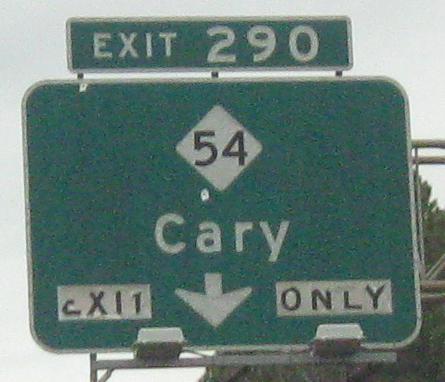
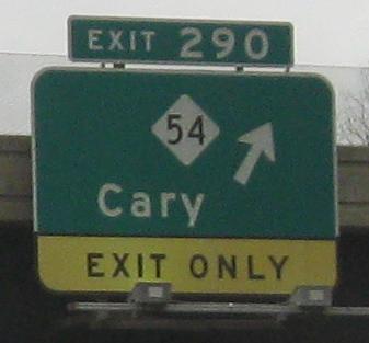
Exit 290 to NC 54
Exit 293 to I-440
Exit 298 to US 401
Back to North Carolina Roads
Back to Roads