Mťxico Roads - Federal Hwy. 150D
Federal Highway 150D
All photos are westbound and courtesy William Gill via Lou Corsaro. The "D" is for "Directo," trying to sell to you that you should pay a toll for the convenience.

Let's join the highway from A. Gorozpe west of Tepeaca. Despite Mťxico, Hwy. 150D is not Libre to Tehuacan or anywhere else. The next sign at the interchange gets it right.


William got stuck in traffic through a work zone northeast of Puebla, widening the highway to 3 lanes each way, coincidentally where Hwy. 150 joins its toll counterpart. The Tehuacan ramp takes traffic back east to both Hwy. 150D and 150, so it shouldn't just show the "D" route. Not that that matters, in the scheme of Mexican sign errors.
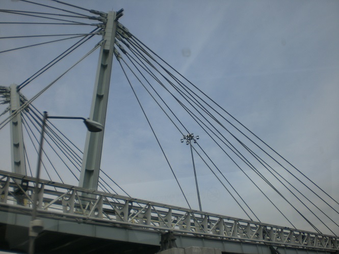


Enjoy some more construction through the complex interchange that also involves Av. Alfredo Toxqui bisecting it (on the stretched cable-stay bridge). The yellow-railing ramp carries traffic from the north frontage road to circulate back east on either of the Hwy. 150s. After all construction was complete, Hwy. 150D was rerouted with both directions north of the interchange, flying high in the air while the old road to the south serves as a C/D through the interchange. (The north frontage is still there, too, just under the highway.)


The finest highway signs Mťxico is able to offer, at an exit to the beltway (Periferico). Why were the numbers left out of these shields? How were they not known when these recent signs were manufactured? Part of the confusion seems to be an unofficial split in Hwy. 190, with the mainline heading west through Cholula while it may or may not have a spur along the Periferico. Or it may be part of Hwy. 190D. But straight ahead is definitely 150D.


Switching modes to bus, these arrows help guide traffic through work zones. Some arrows are longer than others.


This is not the same bridge. There are several of these over the older freeway in Mťxico City. These two are Amador Salazar and Av. Telecomunicaciones.


Hwy. 150D comes to its end. "Viaducto" is that of RŪo de la Piedad, "Economia" (not sure why it's labeled as such) goes to Calzada Ignacio Zaragoza, and Aťropuerto is far right, as you see in the 2nd photo. The second photo heads straight onto Calzada Zaragoza.

Just in case you missed the direct ramp to the viaduct, there's a helpful left turn after the railroad overpass.
To the free road, Federal Highway 150
See more of Estado de Puebla
Back to Mťxico Roads
Back to Roads