Maine Roads - US 1 - Presque Isle and N.
 , Presque Isle and north
SB courtesy Lou Corsaro, as is the shield atop the page, in Presque Isle.
Here's a case where the sign was installed right side up but came off its nail, so I rotate the photo for you so you can see the Maine font. These are NB in Presque Isle.
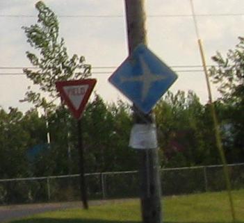
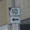
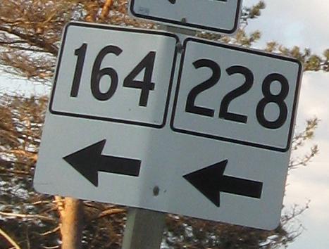
SB at the same intersection. That's a very old style of airport sign.
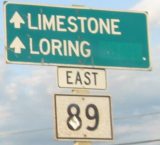
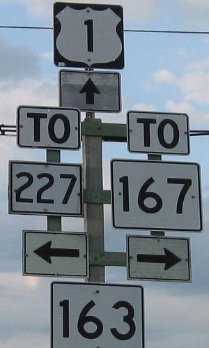
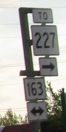
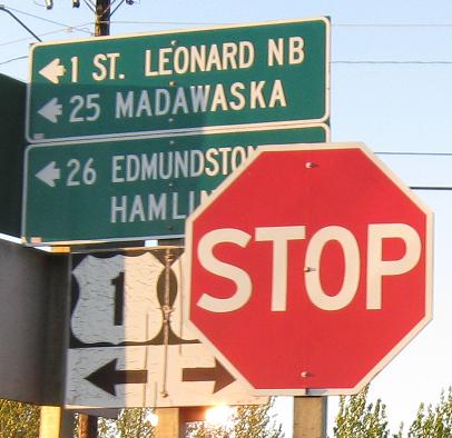
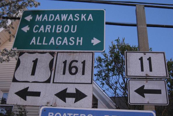
NB to Caribou, then another old wooden shield leaving US 1.
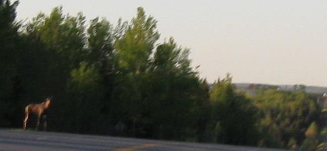
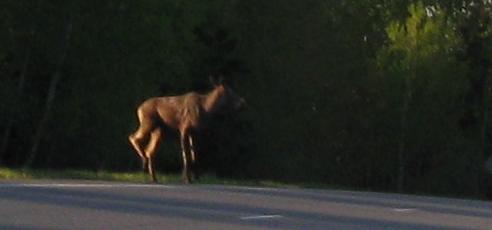
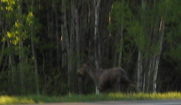
It's Maine. There are moose. Up here, the scenery isn't just on the roadside, it interacts directly with the road.
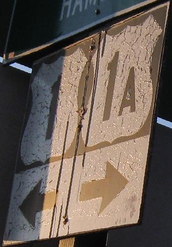
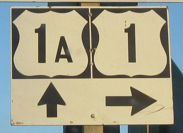
The other end of US 1A, NB in Van Buren.
SB, same spot - click for closeup.
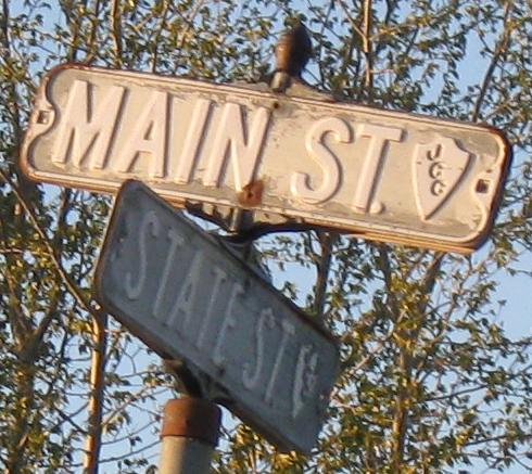
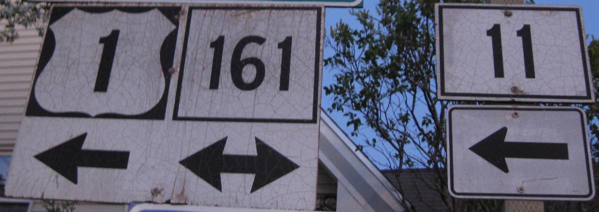
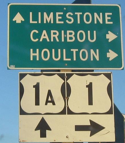
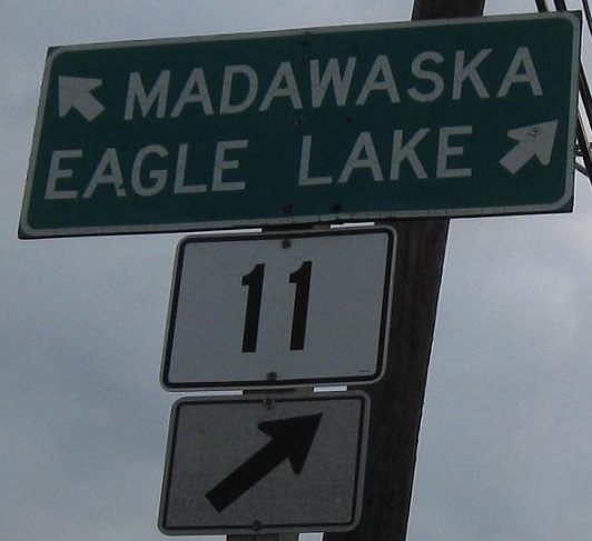
NB in Van Buren and Madawaska, respectively. No idea what JCC stands for in the little shield.
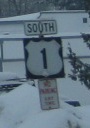
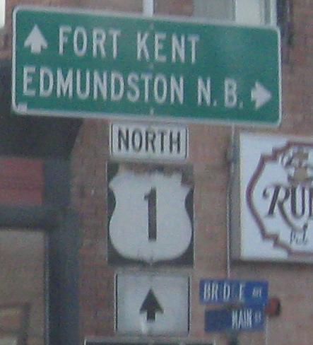
NB into Fort Kent, then ending SB at the beginning of ME 11.
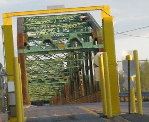
The first SB assembly on US 1 after entering the United States. With those wooden shields, you bet you can click for closeup. I took this photo a few minutes after the sunset photo above (with the orange sky). Notice the blue sky. That's a little camera trickery.
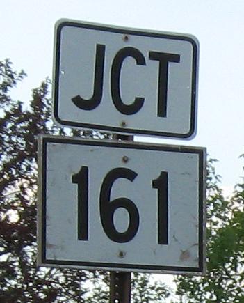
ME 161 SB at the US 1 intersection. Here's your first look at the border crossing (at dawn).
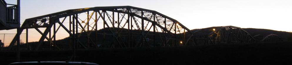
Same crossing, other direction, at dawn and dusk.
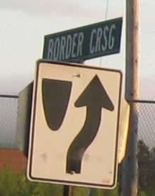
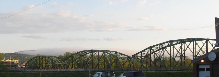
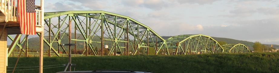
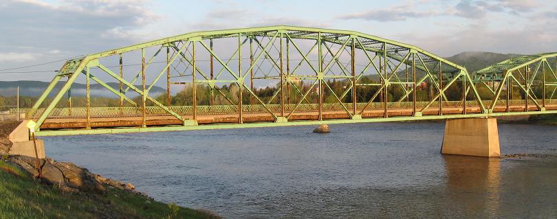
Looking across the Clair-Fort Kent Bridge to New Brunswick. Crsg is not an accepted abbreviation.
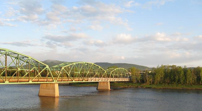
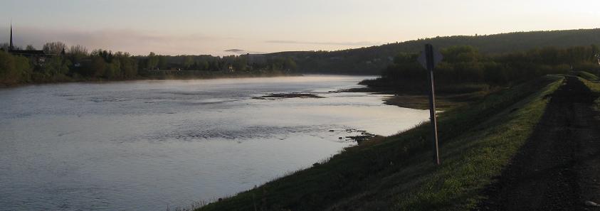
There's a nice elevated rail trail along the Saint John River that affords more views of the bridge and the river to the east. This is the amount of sunlight at 5:30 AM.
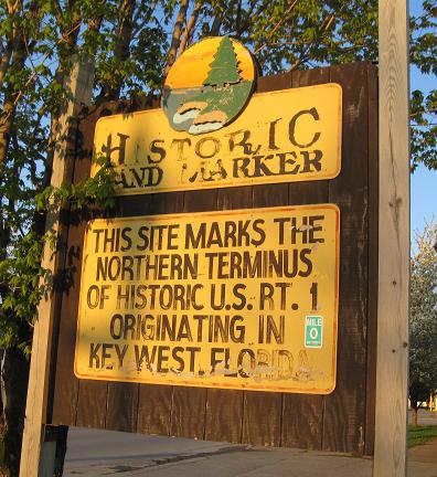
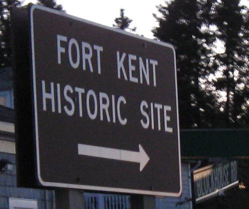
Fort Kent's aging but perhaps historic in its own right "land marker" just south of the end of US 1.
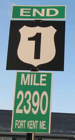
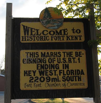
2209 or 2390? The answer is, neither - US 1 is 2,377 miles long. Never believe a sign this ugly. Luckily, it's not on the road itself, but in the parking lot of the Northern Door Inn (and thus probably erected by the hotel owners). You can't sleep any closer to the end of US 1 without being held by Customs.
Continue south on US 1
Back to US 1 main page
Onto ME 11
Back to Maine Roads
Back to Roads