SB at the end of the Bel Air Bypass, where Business US 1 also ends. Since new US 1 crosses the old route many times, you'll see a lot more of Business 1...
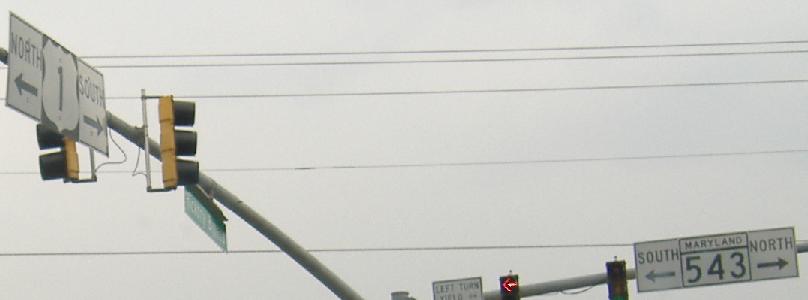
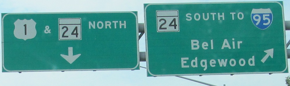
NB and SB respectively; the cancellation of the freeway leads to indecisiveness on what to name the old road to the south. Also, note the ever-present Maryland ampersands.
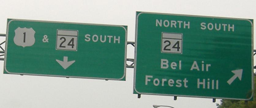
Surprise! US 1 SB is not ending in 6.6 miles, though. The mileage on the Bel Air Bypass, for some reason, goes to 0 at the end of the Bypass.
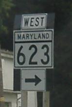
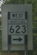
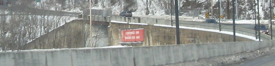
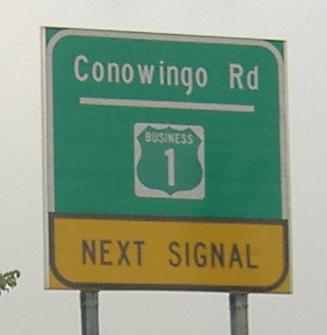
All SB, and the green shields haven't yet replaced the other Maryland oddity - the one-piece turn assemblies. More of those to come, as well. Conowingo Rd. is so named because US 1 goes to Conowingo Dam. If you weren't already sure Business 1 was the old road, this should do it.
NB, same intersection.
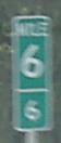
One-piece signal turn assemblies, somewhat rarer than the vertical ground/pole-mounted type.
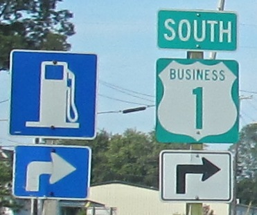
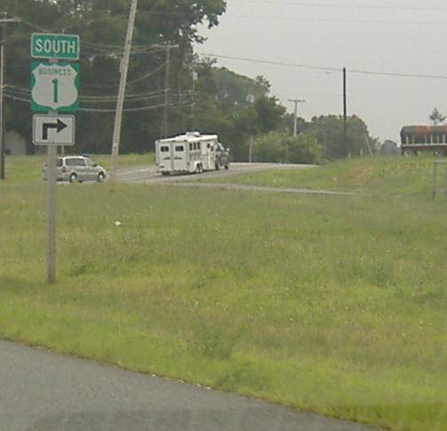
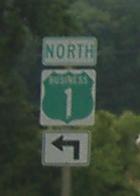
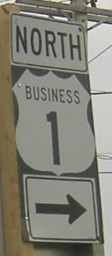
The SB beginning of the somewhat long business route, where you can clearly see the path US 1 took as it curved to the right. Yes, US 1 becomes two lanes to the north.
More one-piece assemblies, first NB and the last two SB (left and right).
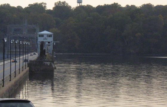
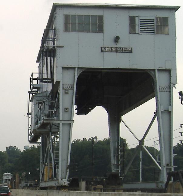
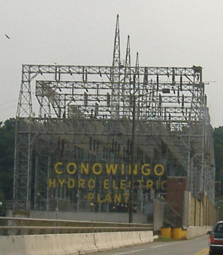
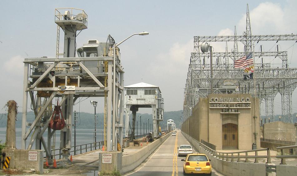
The Conowingo Dam, with a 60-ton Morgan Crane from the Morgan Engineering Company. This is the southernmost free crossing of the Susquehanna River, with US 40 and I-95 having toll crossings further south.
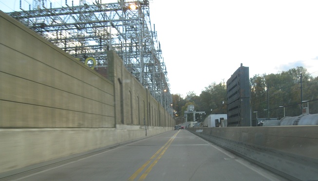
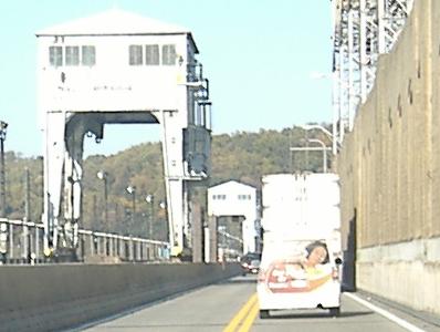
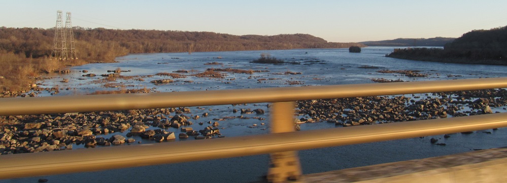
Now northbound across the dam, managing to pull a view of the dam structure. At its narrowest, the roadway makes it difficult for two trucks to pass.
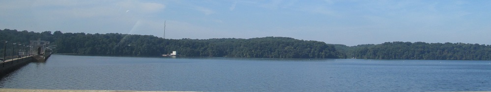
This is what a dam does to a river, looking southeast.
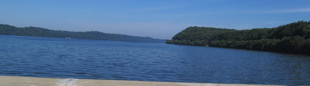
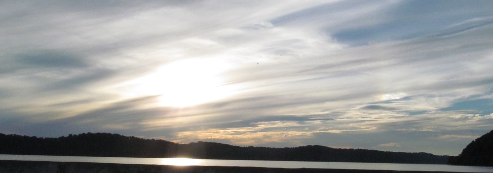
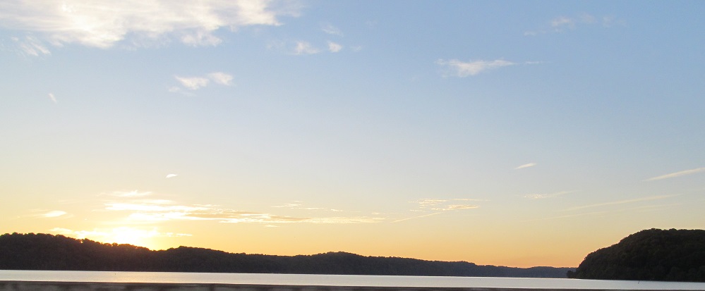
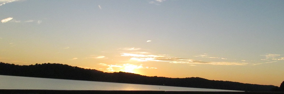
The Susquehanna River to the north of the dam, getting progressively prettier toward sunset. It's dammed but not a named lake.
Click for a northbound drive - why didn't I make a video sooner?
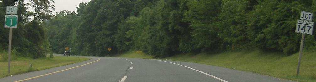
Here goes an old alignment just before Octoraro Creek, and you can see a Dead End diamond, so why is it a state highway - and especially, why is it signed with a route number? I can answer the former question, in that Maryland often holds onto old state highway segments (I gather the county or town has to approve receiving maintenance in order for them to be downloaded) and gives them reference numbers like 591, but I can never understand why such short, meaningless nothings are posted as highways.
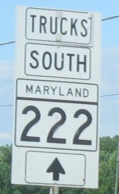
MD 222 Truck goes almost to the PA border before coming back down MD 276 to 222. It's not even signed along MD 273 to cut just a tiny corner off of that circuitous route. MD 222 is certainly no route for trucks, lining the bottom of the Susquehanna River valley. It used to be US 222, and may have been downgraded because of its physical characteristics.
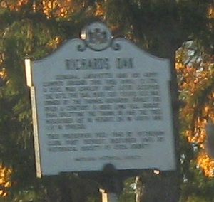
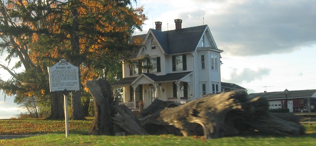
I'm gonna guess the tree and the sign once went together. I'm also gonna guess the stump will remain next to the sign, but someone ought to clear away the rest.
 NB, same intersection.