Maryland Roads - MD 144 - Monocacy River bridges
Old MD 144 Monocacy River bridges
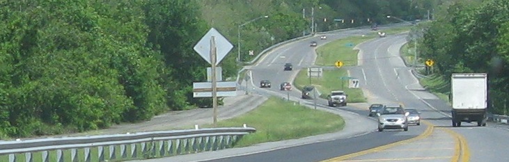
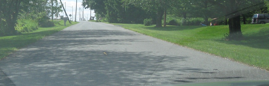
MD 144 gets a little funky on the east side of Frederick. It comes out on Patrick St. as a four-lane road, but narrows to two lanes across I-70. A divided highway picks up at that point, but both directions of MD 144 are only on the EB roadway - the WB roadway is used for a long loop ramp from I-70 EB and then for a Park and Ride. There's also a frontage road north of the WB roadway, actually the original National Road, which I'm on in the first photo below. MD seems perfectly content with this state of affairs, rather than try to restore or replace the old WB bridge. See, the WB bridge was the only one for a number of years, until this part of MD 144 (at that time still US 40) was widened to four lanes. Both the older and newer bridges were in operation for a number of years before the old one closed as a result of an accident. The added intrigue comes from the fact that as you look eastward in the first two photos, there's a dead-end to the left of the abandoned WB MD 144 roadway, and that's in fact the original National Road alignment continuing off the frontage road. That left me with two old roads to explore.
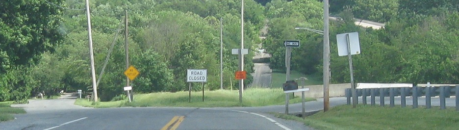
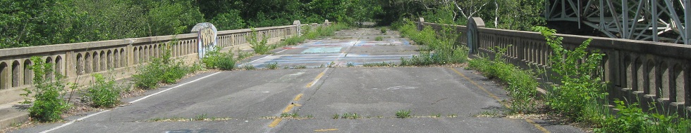
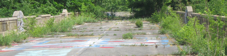
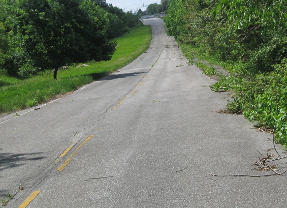
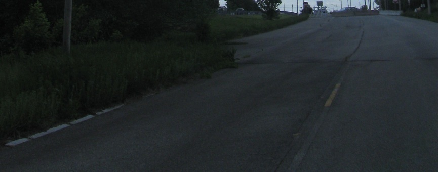
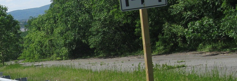
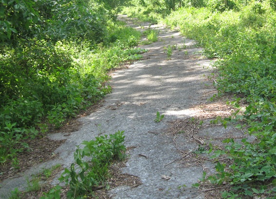
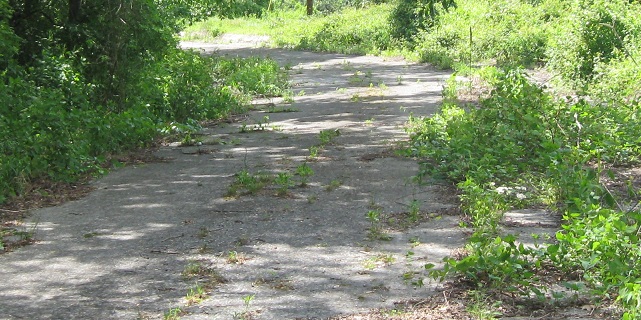
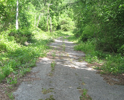
First things first, I headed down the newer old alignment, which still sports a yellow center stripe. All I can make of that is that once the bridge was closed, the stub remained open as a dead-end for a little while, despite there being nothing to access along the way.
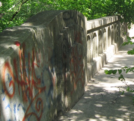
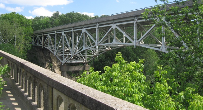
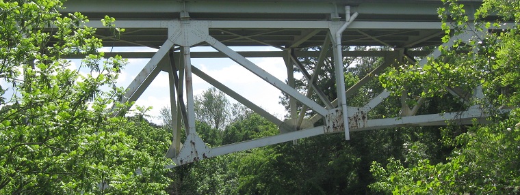
Continuing east across the old WB bridge, looking south at the modern truss carrying MD 144. I prefer trusses visible above the roadway for a more interesting drive.
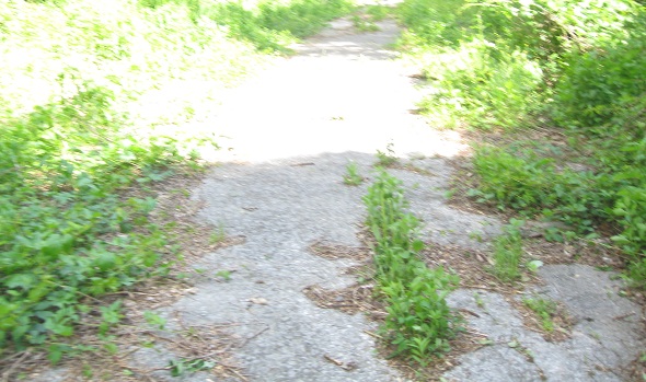
Back up the hill westward to where I started.
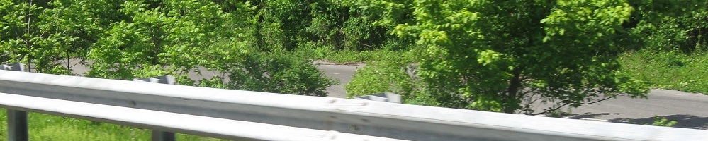
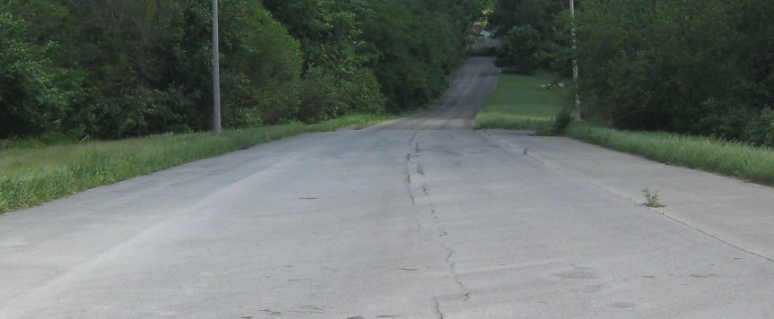
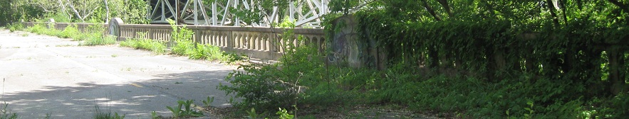
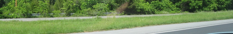
Now on the other side of the river, there's no good place to park so I just drive next to the old WB roadway from Linganore Rd. on down.
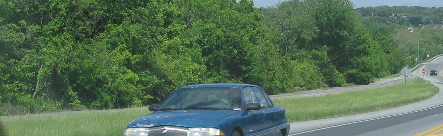
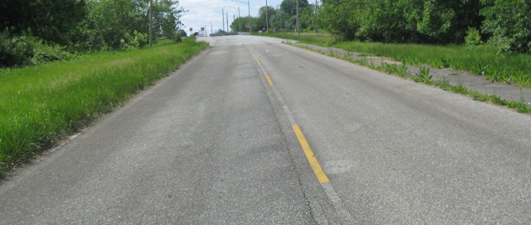
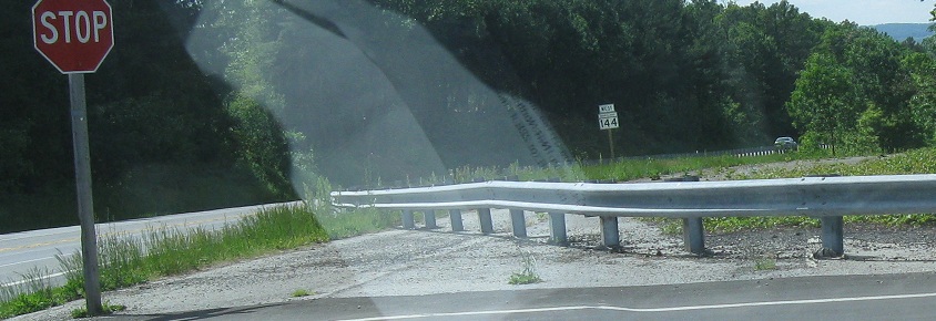
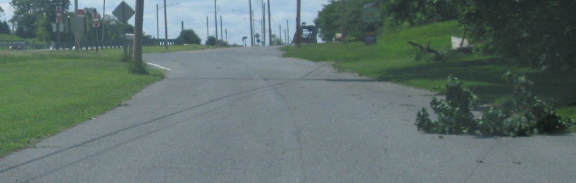
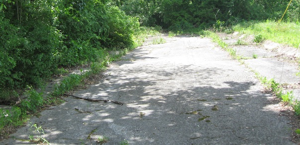
As I continue east from Linganore Rd., there's a rather abrupt transition into the remaining divided highway. Judging from the alignment of I-70 in this area, I'd say that the Monocacy River bridge on that freeway took longer to construct than the rest, so that what's now MD 144 and was then US 40 was upgraded to a four-lane divided highway to handle the temporary traffic across the river.
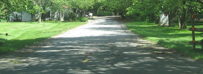
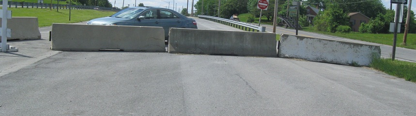
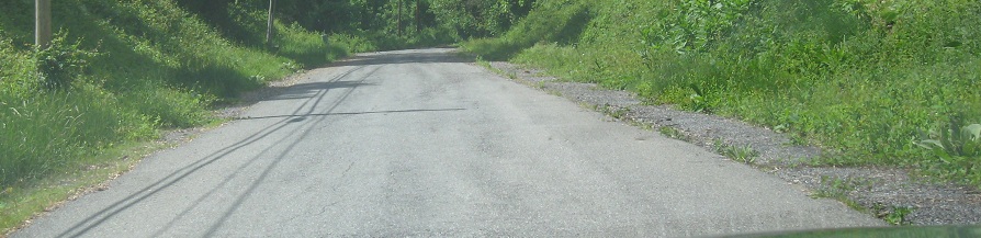
Back to the start on the western shore, this time taking the left fork onto the original National Road. The end is on private property, so you can't explore this approach to the original bridge.
And back out westward.
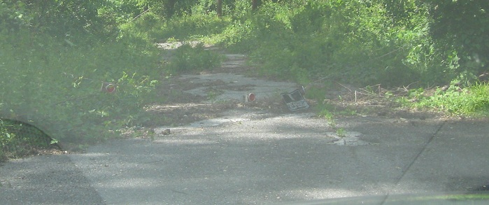
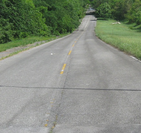
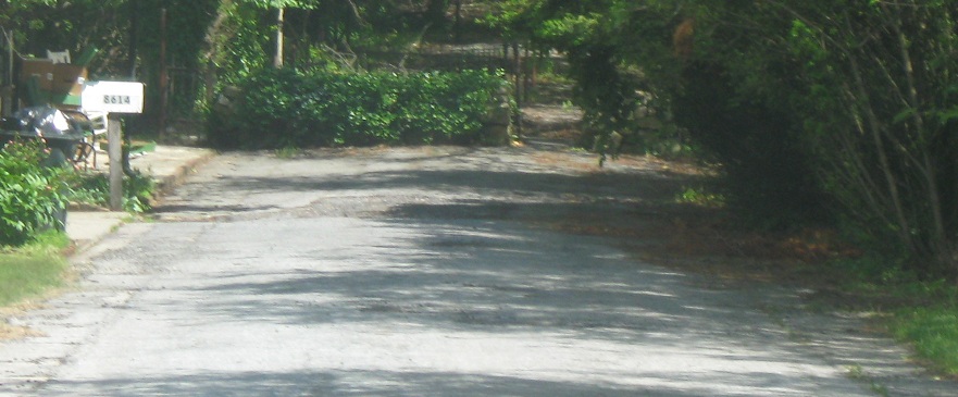
Across the Monocacy and west down Dr. Baxter Rd., which is the remaining National Road. This side is more accessible, such that you can park in the stub dead end and walk down to the river.
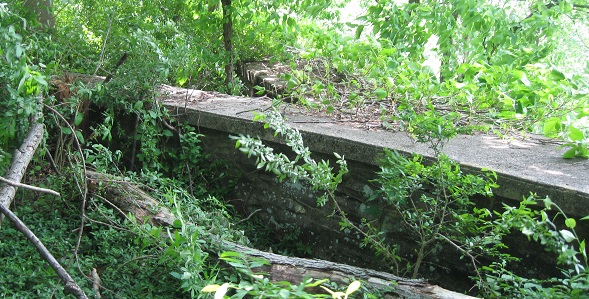
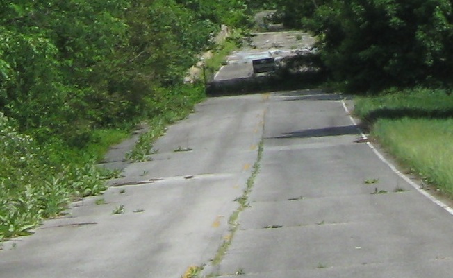
This stone-walled approach is all that you can see of the old Jug Bridge, so named because it originally had a concrete jug atop one of its stone embankments. This beautiful stone arch bridge collapsed in 1942, though at least other original bridges remain of similar design. The jug itself, not being on the bridge proper, was moved to a more visible location off MD 144 but on the original National Road, where traffic exits I-70 WB to get to Frederick.

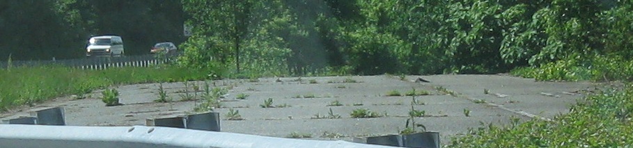
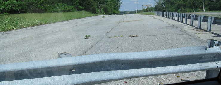
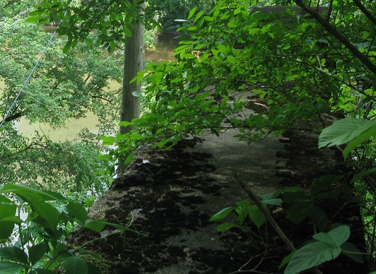
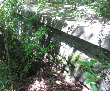
Back up the hill eastward. Notice on both sides of the river, the couple of feet of shoulder pavement is clearly separate from the mainline. The original pavement was probably 20 feet of concrete across, and asphalt was added later to widen the lanes to 12 feet either way. This pattern appears on other very old roads that have been abandoned in place and not rebuilt.
Photos from current MD 144
Back to MD 144 main page
Modern US 40
Back to Maryland Roads
Back to Roads