Maryland Roads - I-95 NB - Baltimore and N.
I-95 northbound, Baltimore and north
How dare MDSHA sully this stub exit ramp with Clearview! It's not even northbound signage! This stub ramp was intended to take I-95 NB traffic to I-70 WB through Leakin Park. The Leakin Park alignment was never built due to environmental concerns, forcing 70 to end at a Park and Ride lot just east of I-695 (well, it could have just ended nowhere, but Maryland wanted to put some use to it). I-170 was decommissioned at that time, just about a mile short of where it was supposed to meet I-70.
The ramp from I-70 EB would have joined the C-D road from Exit 50 (US 1) before merging into I-95. There are more stubs on the north side of the Inner Harbor where I-83 was supposed to continue to meet I-95.
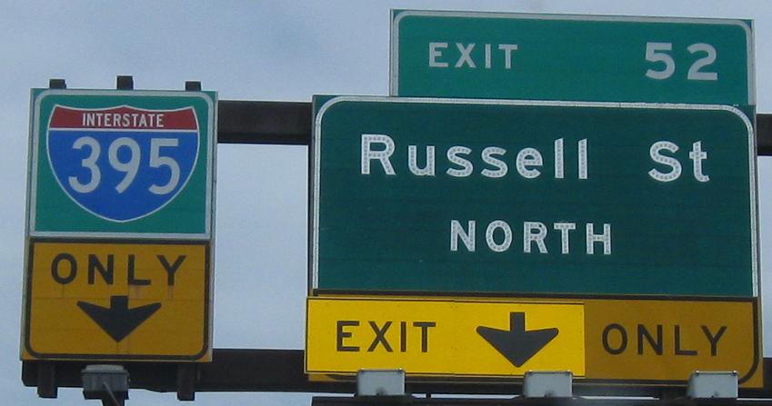
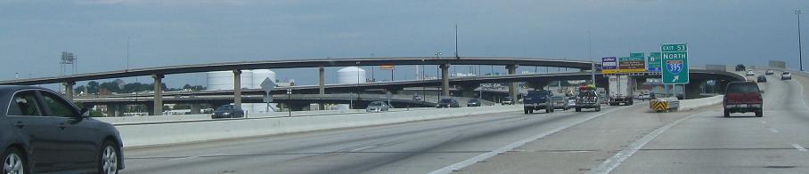
The only button copy inside the Baltimore Beltway on I-95, and the graceful over-water I-395 interchange. Thanks to Steve O. for emailing me and explaining that the reason for replacing "EXIT" was that the arrow was originally on the left, but was patched to be moved over the center of the exit lane.
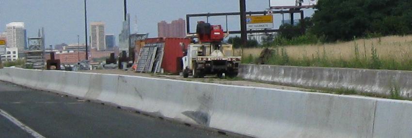
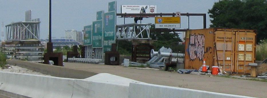
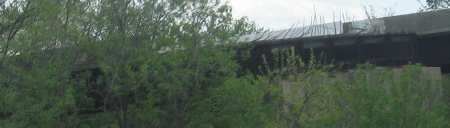
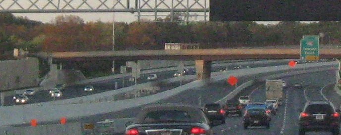
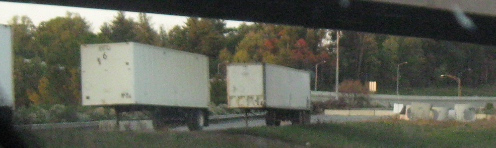
What, more stubs? Exit 57 was intended to split for I-83, which would have been completed along the east side of Baltimore Harbor through a lot of development. Which is why this is all you can see of it.
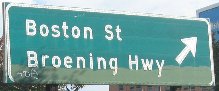
Well, that and a lot of button copy. These are on Boston Rd. WB and turning onto Interstate Ave. (guess where that leads), and there are more signs and stubs on the SB page linked below.
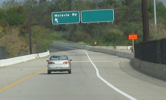
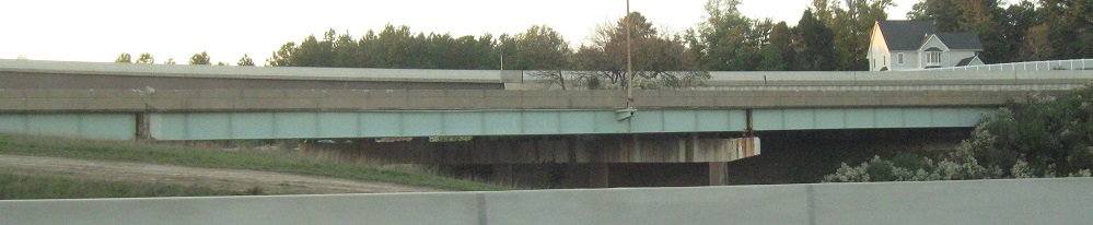
One last stub, the Windlass Freeway. I've shown you enough on this page, so check out the Moravia Rd. page linked below for more from this interchange.
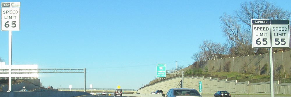
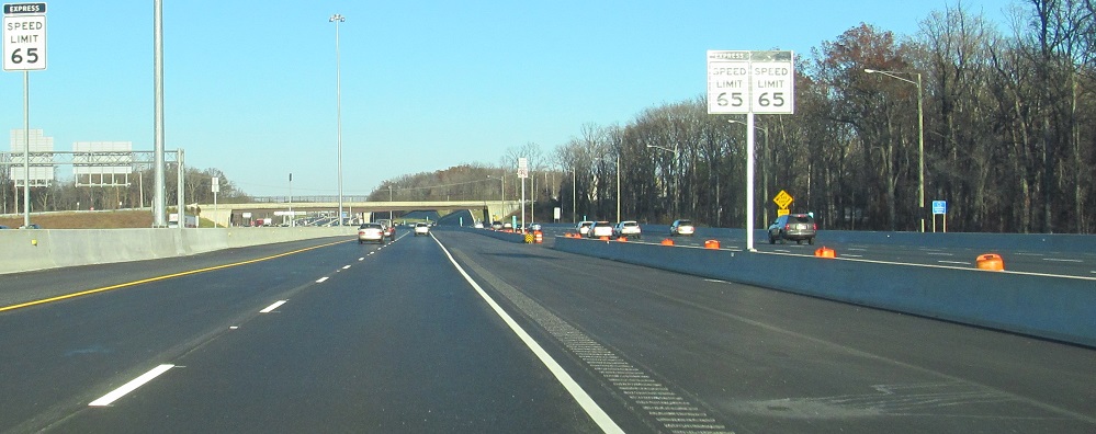
I had the opportunity to drive the newly opened Express Lanes for free in December 2014. Part of the incentive to pay money is the higher speed limit, and the rest is that no one else wants to pay to drive the road they can drive for free. I can't think of a better way to sign different speeds for adjacent roads.
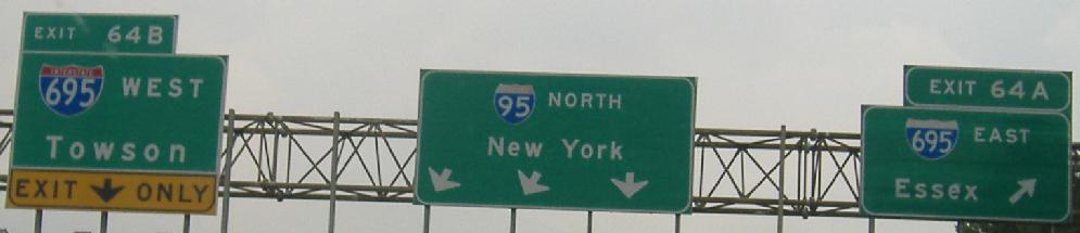
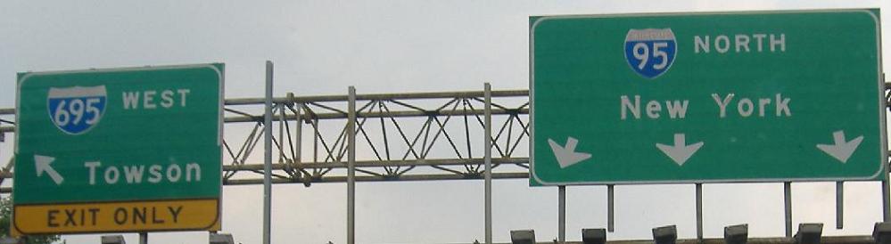
At the northern I-695 interchange pre-reconstruction, the signs were fairly new, but a couple of the shields were old, and saving space on the pull-through BGS leads to awkward arrows. To find out why this interchange had left exits, visit the southbound page, linked below.
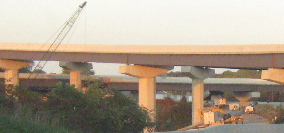
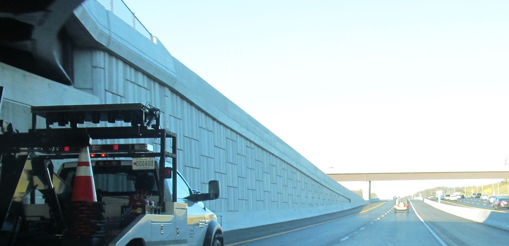
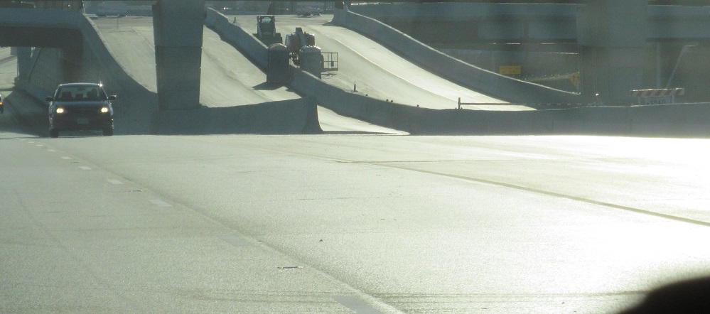
With so many construction photos on the SB page, it was a matter of time before I finally went through there NB. Here's express toll lane construction (started out as HOV, but Maryland went for the money) north and south of I-695, with the original I-95 SB roadway visible as I go through that interchange (it crosses back over the NB lanes to the proper side in these photos). The toll lanes will eventually go where the old NB and SB I-95 ran at ground level.
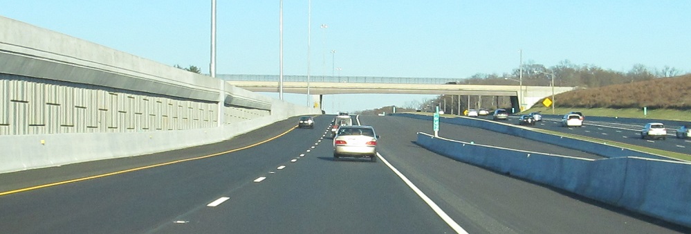
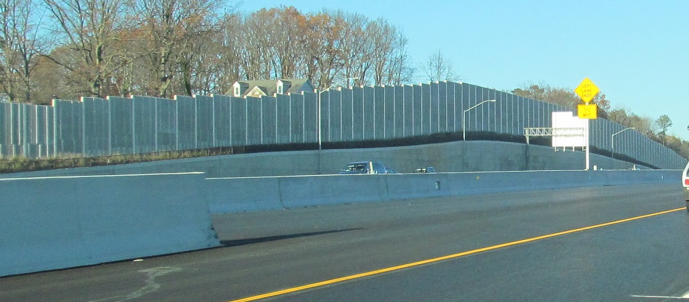
Construction complete, here's the ride on the Express Lanes. There were supposed to be new ramps between I-695 and this inner roadway, but that still hasn't materialized. Instead, there are three left-side stubs along I-695 (anticipating high-speed connections) and one ramp stub along the WB-SB flyover. In the second photo, the shoulder on the right is supposed to be the second lane merge from the I-695 entrance.
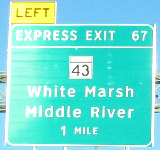
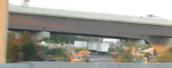
More unopened ramps at the next interchange, where you can see how Express Roadway exits are signed uniquely. These ramps have no stubs but they also have no traffic, since there was determined to be no reason to open them only for traffic to have to merge back into I-95 right away. They will wait until the Express Lanes are extended north far enough to be worth it.
Looking over my shoulder at the unopened MD 43 ramps.
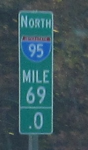
I'll take a wide shield over a blockish one, and what happened to that .0?
Assorted old overhead overpass markers.
This will be (and now is) the new NB ramp to MD 155 EB, replacing the current diamond ramp. 155 is a great cutoff from I-95 to US 40 just before crossing the Susquehanna River, given the I-95 weekend traffic that can back up for miles before any tollbooth. If only US 40 were free, it would be swamped too. US 1 is the southernmost free crossing (or at least the southernmost one practical to through traffic) of the river, but it's only useful for traffic going to Central or North Jersey, and is much slower through PA than US 40 to I-295 to US 1.
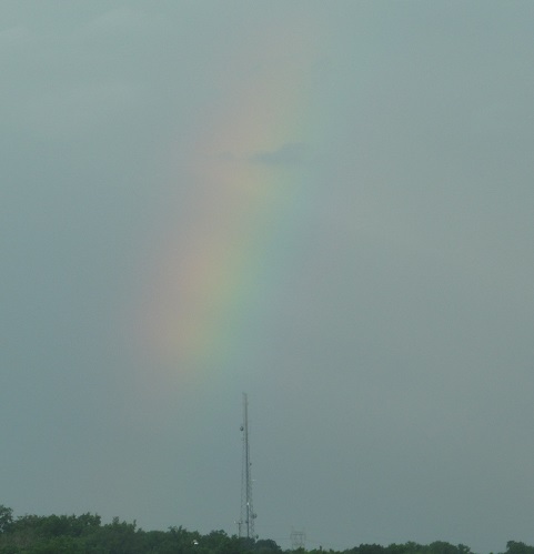
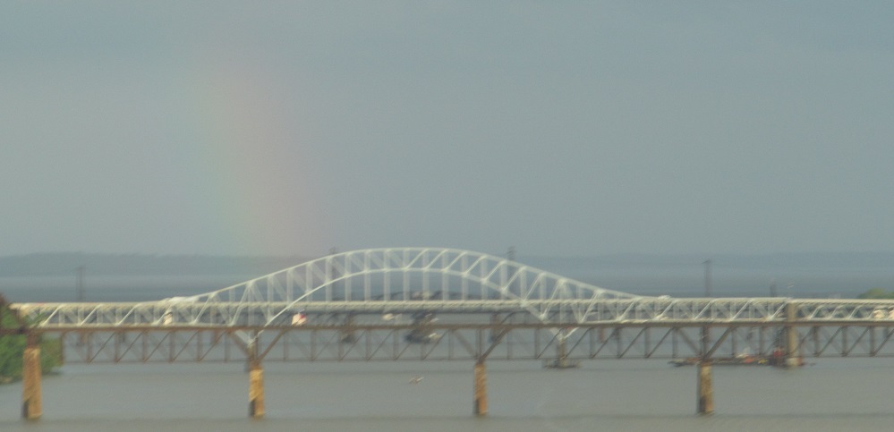
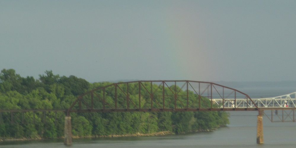
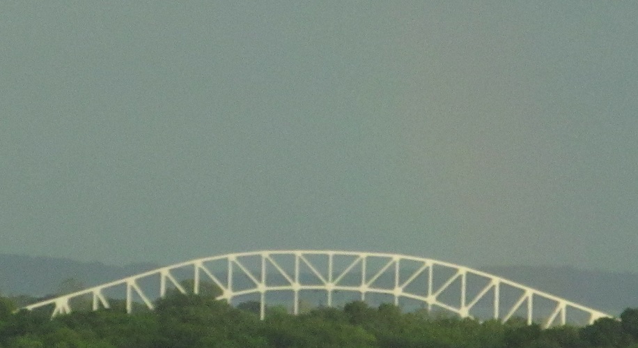
Cheating a little bit to keep the rainbows together, since I'm looking south along the Susquehanna for the rail bridge (brown) and US 40 Hatem Bridge (white) instead of facing NB.
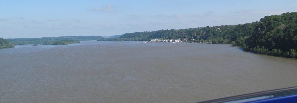
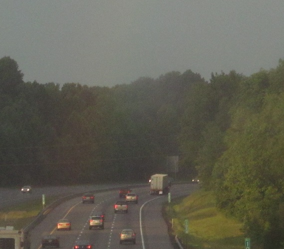
Here's the river to the north, minus rainbow.
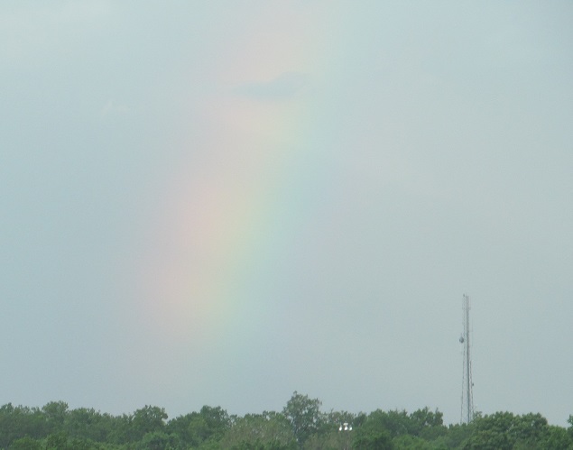
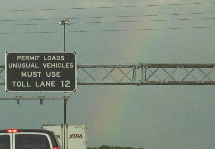
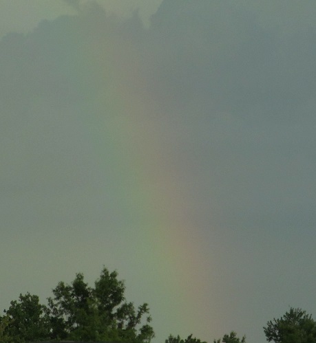
The only time paying a toll is a beautiful thing.
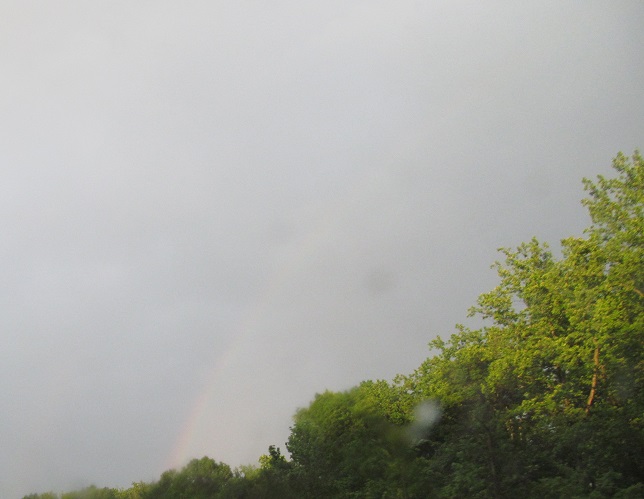
A faint double rainbow (maybe?), and the pot of gold is revealed to be inside a tan Accord of early 2000s vintage.
Back south on I-95 NB
Over to the SB side north of Baltimore and in Baltimore (and south)
Into the Chesapeake and Maryland Houses (service areas)
Back to I-95 main page
Into Delaware on I-95
Onto MD 295
Exit 53 to I-395
Exit 60 to Moravia Rd.
Exit 64 to I-695
Exit 67 to MD 43
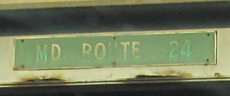
Up onto MD 24
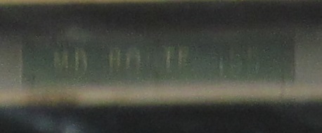
Onto MD 155
Into Baltimore
Back to Maryland Roads
Back to Roads